Baluskie Wood
Wood, Forest in Ayrshire
Scotland
Baluskie Wood
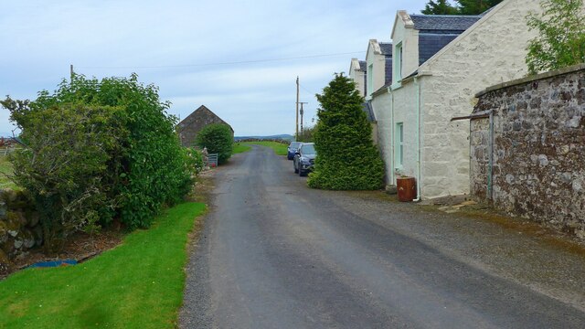
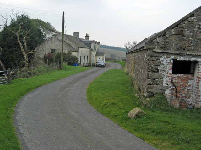
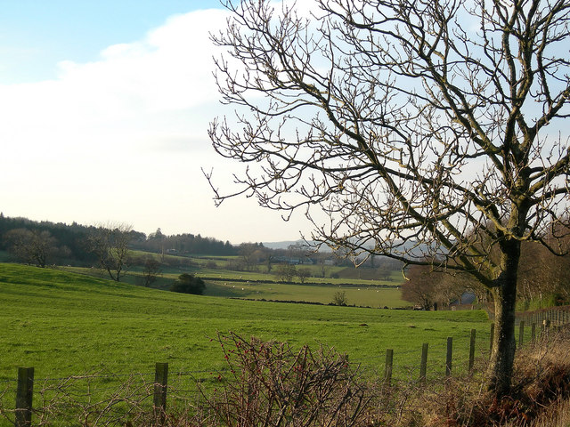
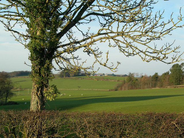
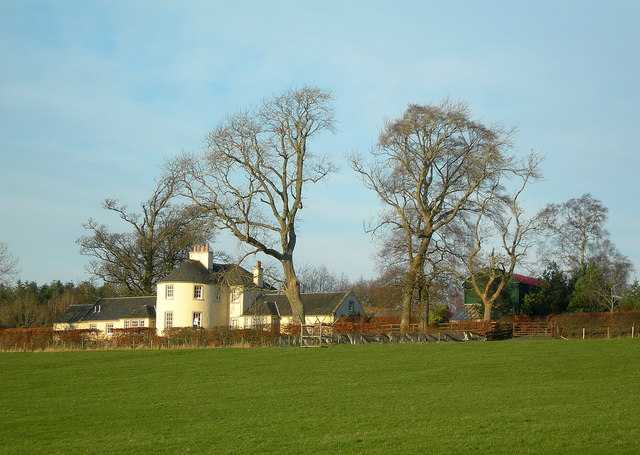
Baluskie Wood is a scenic forest located in Ayrshire, Scotland. Spanning over a vast area, it is a popular destination for nature enthusiasts and hikers alike. The wood is situated near the village of Dalrymple, offering visitors a tranquil and peaceful environment.
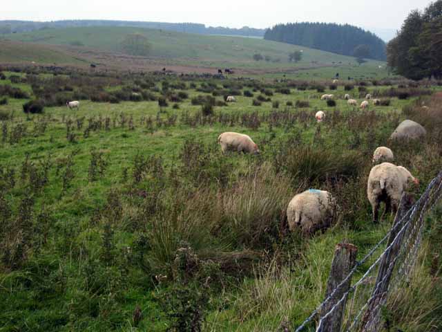
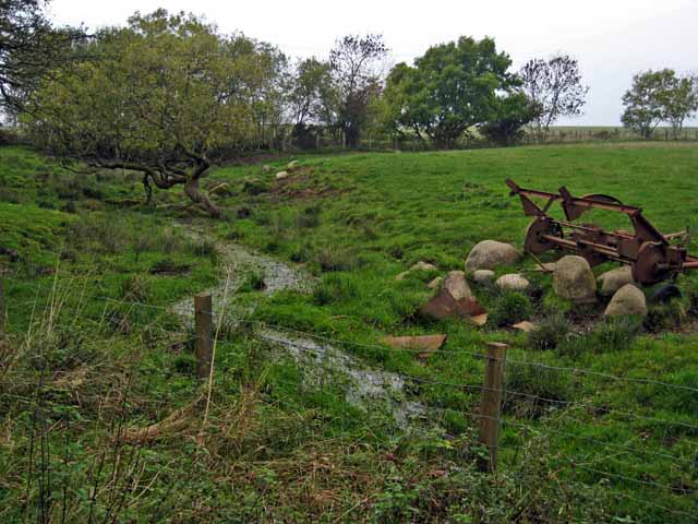
The forest is predominantly composed of native deciduous trees, such as oak, birch, and hazel, which provide a rich and diverse habitat for various wildlife species. The lush vegetation also includes an array of wildflowers and ferns, further enhancing the natural beauty of the area.
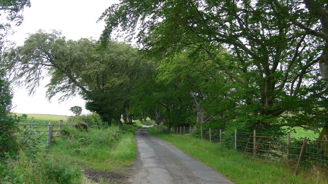
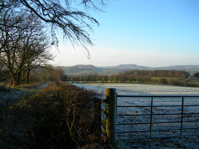
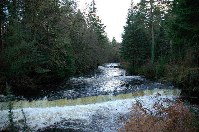
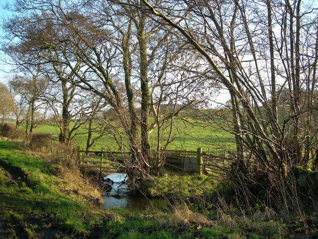
Baluskie Wood is crisscrossed with well-maintained trails, allowing visitors to explore the forest at their leisure. These paths lead to picturesque viewpoints, offering breathtaking vistas of the surrounding countryside. The wood is also intersected by a small river, adding to its charm and providing a soothing soundtrack of flowing water.
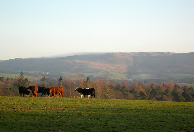
Wildlife enthusiasts will find plenty to admire in Baluskie Wood. The forest is home to a variety of bird species, including woodpeckers, owls, and songbirds. Squirrels, badgers, and deer can also be spotted within the wood, making it an ideal location for wildlife spotting and photography.
Overall, Baluskie Wood in Ayrshire is a haven of natural beauty and tranquility. With its diverse flora and fauna, well-maintained trails, and scenic views, it offers visitors an opportunity to immerse themselves in the wonders of nature and experience the serenity of a Scottish woodland.
If you have any feedback on the listing, please let us know in the comments section below.
Baluskie Wood Images
Images are sourced within 2km of 55.311358/-4.5953103 or Grid Reference NS3504. Thanks to Geograph Open Source API. All images are credited.


Baluskie Wood is located at Grid Ref: NS3504 (Lat: 55.311358, Lng: -4.5953103)
Unitary Authority: South Ayrshire
Police Authority: Ayrshire
What 3 Words
///dignity.permanent.lions. Near Maybole, South Ayrshire
Nearby Locations
Related Wikis

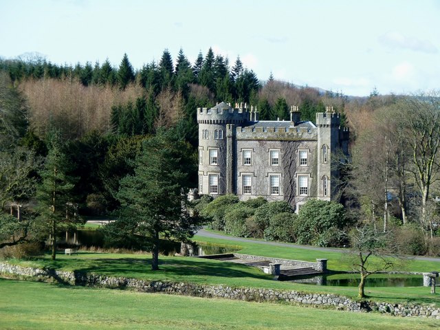
Blairquhan Castle
Blairquhan ( blair-WHAHN, Scots: Blairwhan) is a Regency era castle near Maybole in South Ayrshire, Scotland. It was the historic home of the Hunter-Blair...

Ayr, Carrick and Cumnock (UK Parliament constituency)
Ayr, Carrick, and Cumnock is a county constituency represented in the House of Commons of the Parliament of the United Kingdom. It was created for the...
Cloncaird Castle
Cloncaird Castle is located near the small village of Kirkmichael, around 6 kilometres (3.7 mi) east of Maybole in South Ayrshire, Scotland. The castle...

Straiton
Straiton is a village on the River Girvan in South Ayrshire in Scotland. It lies in the hills between Kirkmichael, Dalmellington, Crosshill, and Maybole...

Crosshill, South Ayrshire
Crosshill is a small village in South Ayrshire, Scotland.Crosshill has a primary school. == References ==

Kirkmichael, South Ayrshire
Kirkmichael (Gaelic: Cille Mhìcheil, "the church of St Michael") is a village in South Ayrshire, Scotland, located between Patna, Maybole and Straiton...

Crosshill railway station (Ayr)
Crosshill railway station served the village of Crosshill, South Ayrshire, Scotland, from 1860 to 1862 on the Maybole and Girvan Railway. == History... ==

Kilkerran House
Kilkerran House is an 18th-century private house near Maybole, Ayrshire, Scotland. It is a category A listed building set within grounds included in the...
Nearby Amenities
Located within 500m of 55.311358,-4.5953103Have you been to Baluskie Wood?
Leave your review of Baluskie Wood below (or comments, questions and feedback).