Eleanora Wood

Wood, Forest in Ayrshire

Scotland

Eleanora Wood

Wardrop Street, Beith The road is the B777, here looking east from close to its junction with the A737.
The building on the right is currently in use for parade nights by the Garnock Valley detachment of the West Lowland Battalion, Army Cadets Force.
Wardrop Street, Beith Credit: Richard Dorrell

The requested URL returned error: 429 Too Many Requests

If you have any feedback on the listing, please let us know in the comments section below.

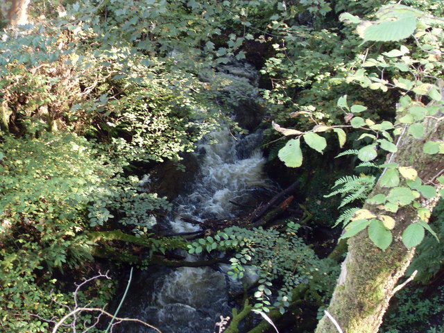
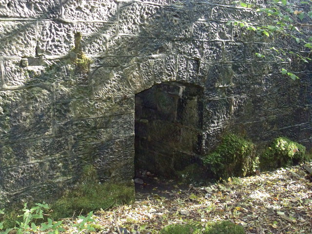
Eleanora Wood Images

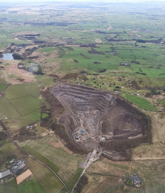
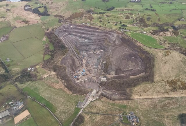
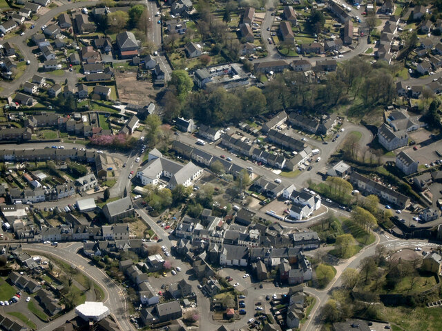
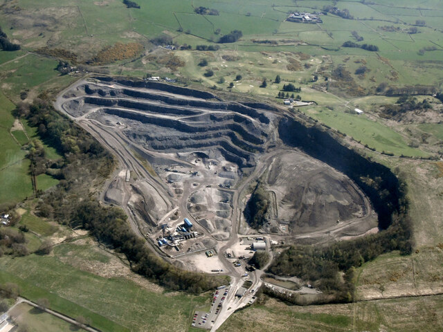
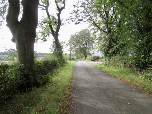
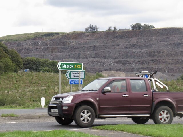
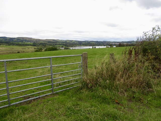
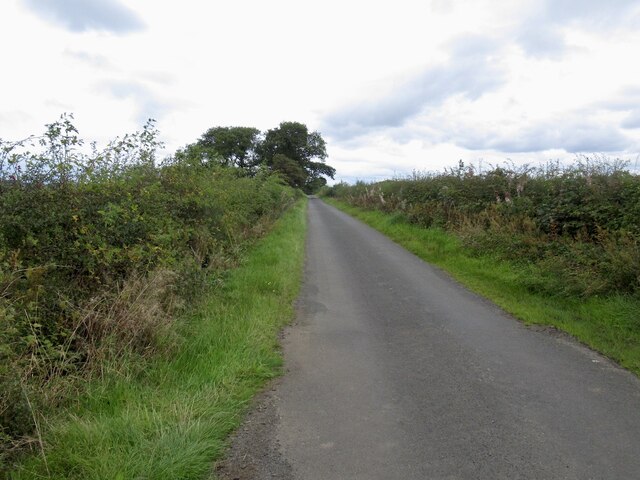
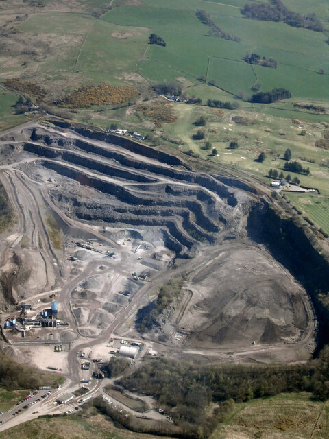
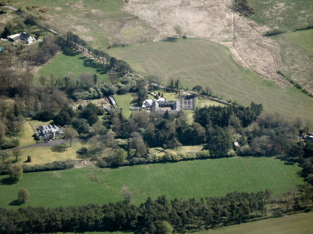
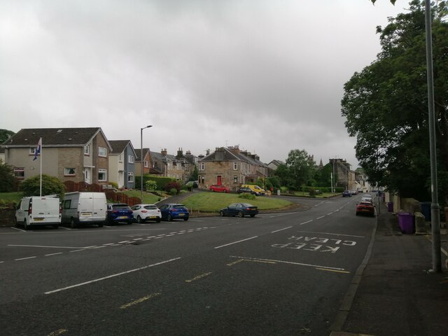
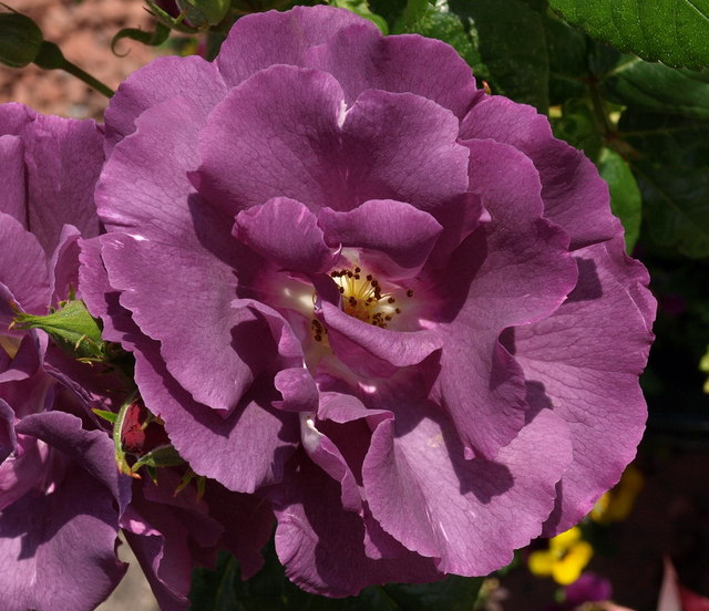
Images are sourced within 2km of 55.763911/-4.6362472 or Grid Reference NS3455. Thanks to Geograph Open Source API. All images are credited.

Wardrop Street, Beith The road is the B777, here looking east from close to its junction with the A737.
The building on the right is currently in use for parade nights by the Garnock Valley detachment of the West Lowland Battalion, Army Cadets Force.
Wardrop Street, Beith
The road is the B777, here looking east from close to its junction with the A737. The building on the right is currently in use for parade nights by the Garnock Valley detachment of the West Lowland Battalion, Army Cadets Force.
Head Street, Beith Viewed across the A737 from Wardrop Street.
Head Street was temporarily closed to traffic on this day for resurfacing.
Head Street, Beith
Viewed across the A737 from Wardrop Street. Head Street was temporarily closed to traffic on this day for resurfacing.
Loanhead Quarry from the air The whinstone quarry is on the outskirts of Beith, with Beith Golf Club visible on the far side. The left side of the quarry, as seen in this photo, is an active quarry, whereas the right side is a landfill site for inert soils, which are being used to infill the quarry void. The dolerite dyke which separates these two areas of the quarry can be seen by following the line of the access road into the quarry, where it is located beyond a Nissen hut.

To give some idea of the scale, the quarry is around 900 metres wide at the widest point.

Further interesting reading about the quarry and surrounding area geology and the minerals found there can be found at <span class="nowrap"><a title="https://www.mindat.org/loc-3035.html" rel="nofollow ugc noopener" href="https://www.mindat.org/loc-3035.html">Link</a><img style="margin-left:2px;" alt="External link" title="External link - shift click to open in new window" src="https://s1.geograph.org.uk/img/external.png" width="10" height="10"/></span> and <span class="nowrap"><a title="http://earthwise.bgs.ac.uk/index.php/Loanhead_Quarry_-_an_excursion" rel="nofollow ugc noopener" href="http://earthwise.bgs.ac.uk/index.php/Loanhead_Quarry_-_an_excursion">Link</a><img style="margin-left:2px;" alt="External link" title="External link - shift click to open in new window" src="https://s1.geograph.org.uk/img/external.png" width="10" height="10"/></span> .
Loanhead Quarry from the air
The whinstone quarry is on the outskirts of Beith, with Beith Golf Club visible on the far side. The left side of the quarry, as seen in this photo, is an active quarry, whereas the right side is a landfill site for inert soils, which are being used to infill the quarry void. The dolerite dyke which separates these two areas of the quarry can be seen by following the line of the access road into the quarry, where it is located beyond a Nissen hut. To give some idea of the scale, the quarry is around 900 metres wide at the widest point. Further interesting reading about the quarry and surrounding area geology and the minerals found there can be found at LinkExternal link and LinkExternal link .
Loanhead quarry from the air The whinstone quarry is on the outskirts of Beith, with Beith Golf Club visible on the far side. The left side of the quarry, as seen in this photo, is an active quarry, whereas the right side is a landfill site for inert soils, which are being used to infill the quarry void. The dolerite dyke which separates these two areas of the quarry can be seen by following the line of the access road into the quarry, where it is located beyond a Nissen hut.

To give some idea of the scale, the quarry is around 900 metres wide at the widest point.

Further interesting reading about the quarry and surrounding area geology and the minerals found there can be found at <span class="nowrap"><a title="https://www.mindat.org/loc-3035.html" rel="nofollow ugc noopener" href="https://www.mindat.org/loc-3035.html">Link</a><img style="margin-left:2px;" alt="External link" title="External link - shift click to open in new window" src="https://s1.geograph.org.uk/img/external.png" width="10" height="10"/></span> and <span class="nowrap"><a title="http://earthwise.bgs.ac.uk/index.php/Loanhead_Quarry_-_an_excursion" rel="nofollow ugc noopener" href="http://earthwise.bgs.ac.uk/index.php/Loanhead_Quarry_-_an_excursion">Link</a><img style="margin-left:2px;" alt="External link" title="External link - shift click to open in new window" src="https://s1.geograph.org.uk/img/external.png" width="10" height="10"/></span> .
Loanhead quarry from the air
The whinstone quarry is on the outskirts of Beith, with Beith Golf Club visible on the far side. The left side of the quarry, as seen in this photo, is an active quarry, whereas the right side is a landfill site for inert soils, which are being used to infill the quarry void. The dolerite dyke which separates these two areas of the quarry can be seen by following the line of the access road into the quarry, where it is located beyond a Nissen hut. To give some idea of the scale, the quarry is around 900 metres wide at the widest point. Further interesting reading about the quarry and surrounding area geology and the minerals found there can be found at LinkExternal link and LinkExternal link .
Beith from the air Beith Primary School is prominent on the right, with Beith Parish Church visible on the left.
Beith from the air
Beith Primary School is prominent on the right, with Beith Parish Church visible on the left.
Beith from the air Main Street and Bellman's Close are in the foreground.
Beith from the air
Main Street and Bellman's Close are in the foreground.
Loanhead Quarry from the air The whinstone quarry is on the outskirts of Beith, with Beith Golf Club visible on the far side. The left side of the quarry, as seen in this photo, is an active quarry, whereas the right side is a landfill site for inert soils, which are being used to infill the quarry void. The dolerite dyke which separates these two areas of the quarry can be seen by following the line of the access road into the quarry, where it is located beyond a Nissen hut.

To give some idea of the scale, the quarry is around 900 metres wide at the widest point.

Further interesting reading about the quarry and surrounding area geology and the minerals found there can be found at <span class="nowrap"><a title="https://www.mindat.org/loc-3035.html" rel="nofollow ugc noopener" href="https://www.mindat.org/loc-3035.html">Link</a><img style="margin-left:2px;" alt="External link" title="External link - shift click to open in new window" src="https://s1.geograph.org.uk/img/external.png" width="10" height="10"/></span> and <span class="nowrap"><a title="http://earthwise.bgs.ac.uk/index.php/Loanhead_Quarry_-_an_excursion" rel="nofollow ugc noopener" href="http://earthwise.bgs.ac.uk/index.php/Loanhead_Quarry_-_an_excursion">Link</a><img style="margin-left:2px;" alt="External link" title="External link - shift click to open in new window" src="https://s1.geograph.org.uk/img/external.png" width="10" height="10"/></span> .
Loanhead Quarry from the air
The whinstone quarry is on the outskirts of Beith, with Beith Golf Club visible on the far side. The left side of the quarry, as seen in this photo, is an active quarry, whereas the right side is a landfill site for inert soils, which are being used to infill the quarry void. The dolerite dyke which separates these two areas of the quarry can be seen by following the line of the access road into the quarry, where it is located beyond a Nissen hut. To give some idea of the scale, the quarry is around 900 metres wide at the widest point. Further interesting reading about the quarry and surrounding area geology and the minerals found there can be found at LinkExternal link and LinkExternal link .
Boydstone Road
Boydstone Road
Clerksbridge Toll roundabout Loanhead Quarry in the background.
Clerksbridge Toll roundabout
Loanhead Quarry in the background.
Alter Supplies, Park Farm Off Clerksbridge Toll Roundabout.
Alter Supplies, Park Farm
Off Clerksbridge Toll Roundabout.
Field, Roebank
Field, Roebank
Road to Netherhouses
Loanhead Quarry from the air The whinstone quarry is on the outskirts of Beith, with Beith Golf Club visible on the far side. The left side of the quarry, as seen in this photo, is an active quarry, whereas the right side is a landfill site for inert soils, which are being used to infill the quarry void. The dolerite dyke which separates these two areas of the quarry can be seen by following the line of the access road into the quarry, where it is located beyond a Nissen hut.

To give some idea of the scale, the quarry is around 900 metres wide at the widest point.

Further interesting reading about the quarry and surrounding area geology and the minerals found there can be found at <span class="nowrap"><a title="https://www.mindat.org/loc-3035.html" rel="nofollow ugc noopener" href="https://www.mindat.org/loc-3035.html">Link</a><img style="margin-left:2px;" alt="External link" title="External link - shift click to open in new window" src="https://s1.geograph.org.uk/img/external.png" width="10" height="10"/></span> and <span class="nowrap"><a title="http://earthwise.bgs.ac.uk/index.php/Loanhead_Quarry_-_an_excursion" rel="nofollow ugc noopener" href="http://earthwise.bgs.ac.uk/index.php/Loanhead_Quarry_-_an_excursion">Link</a><img style="margin-left:2px;" alt="External link" title="External link - shift click to open in new window" src="https://s1.geograph.org.uk/img/external.png" width="10" height="10"/></span> .
Loanhead Quarry from the air
The whinstone quarry is on the outskirts of Beith, with Beith Golf Club visible on the far side. The left side of the quarry, as seen in this photo, is an active quarry, whereas the right side is a landfill site for inert soils, which are being used to infill the quarry void. The dolerite dyke which separates these two areas of the quarry can be seen by following the line of the access road into the quarry, where it is located beyond a Nissen hut. To give some idea of the scale, the quarry is around 900 metres wide at the widest point. Further interesting reading about the quarry and surrounding area geology and the minerals found there can be found at LinkExternal link and LinkExternal link .
Grangehill from the air With Threepwood Road beyond.
Grangehill from the air
With Threepwood Road beyond.
Wilson Street, Beith We look along the street from the bus stop opposite the former Beith Trinity Church.
Wilson Street, Beith
We look along the street from the bus stop opposite the former Beith Trinity Church.
Rhaposody in Blue Modern Floribunda cluster rose. Great scent.
Rhaposody in Blue
Modern Floribunda cluster rose. Great scent.
Loanhead waterfall Loanhead waterfall next to A737 in Beith, Ayrshire taken 28/9/11
Loanhead waterfall
Loanhead waterfall next to A737 in Beith, Ayrshire taken 28/9/11
Clarks Bridge/ Dam, Beith Clarks bridge Beith
Clarks Bridge/ Dam, Beith
Clarks bridge Beith
Show me another place!

Eleanora Wood is located at Grid Ref: NS3455 (Lat: 55.763911, Lng: -4.6362472)

Unitary Authority: North Ayrshire

Police Authority: Ayrshire

What 3 Words

///announced.poet.misfits. Near Beith, North Ayrshire

Related Wikis

Beith North railway station

Beith North railway station was a railway station serving the north of the town of Beith, North Ayrshire, Scotland. The station was originally part of...

Beith

Beith is a small town in the Garnock Valley, North Ayrshire, Scotland approximately 20 miles (30 kilometres) south-west of Glasgow. The town is situated...

Bellsdale Park

Bellsdale Park is a football ground in Beith, Scotland. It was the home ground of Beith F.C. during their time in the Scottish Football League, and is...
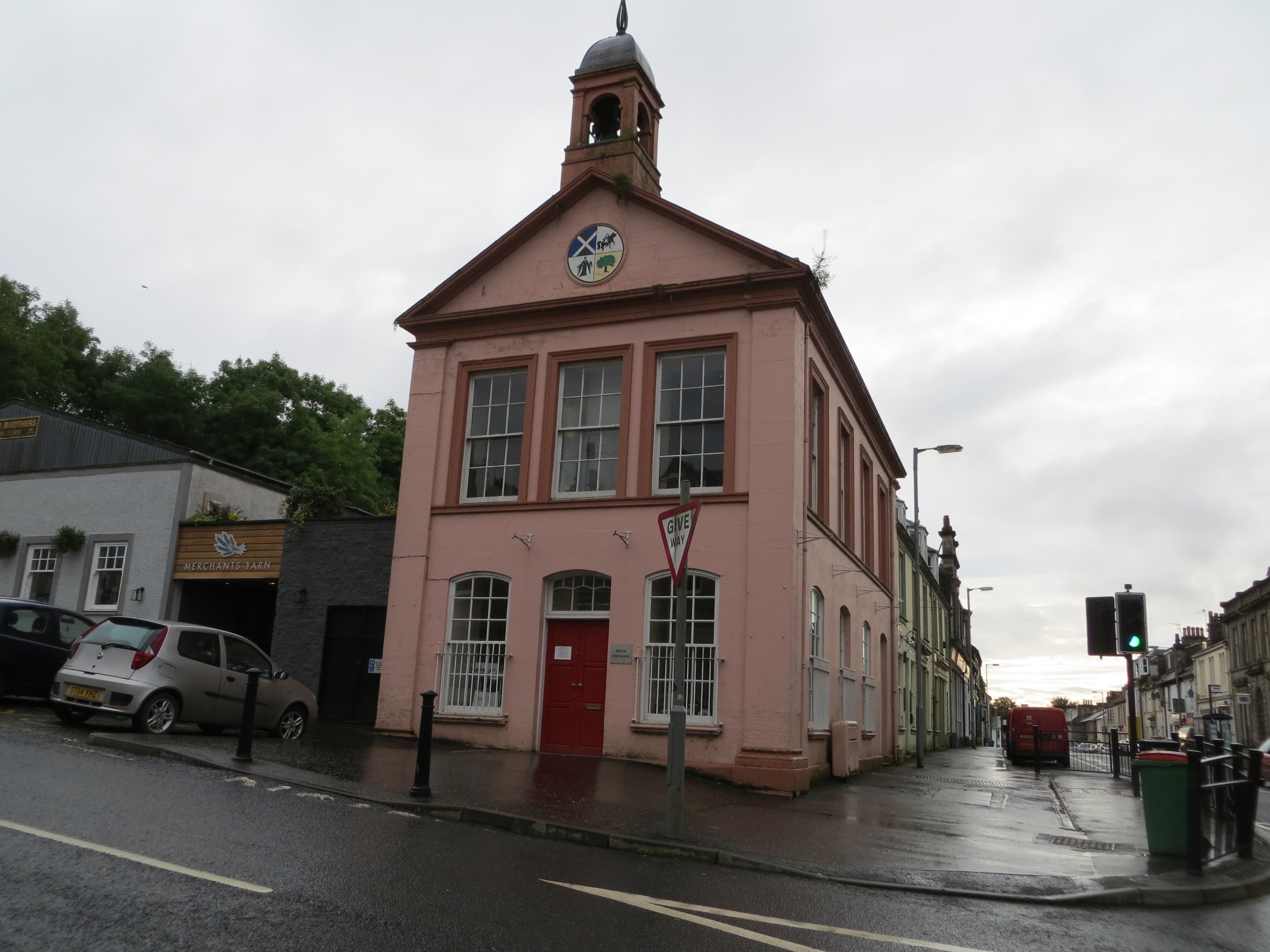
Beith Townhouse

Beith Townhouse is a municipal building in The Strand, Beith, North Ayrshire, Scotland. The structure, which is currently used as an information and heritage...

Nearby Amenities

Located within 500m of 55.763911,-4.6362472
Power: pole
Lat/Long: 55.7649007/-4.6329201
Power: pole
Lat/Long: 55.7644354/-4.6319306
Power: pole
Lat/Long: 55.7639197/-4.6307994
Power: pole
Lat/Long: 55.7634122/-4.6297078
Power: pole
Lat/Long: 55.7630278/-4.6288745
The data included in this document is from www.openstreetmap.org. The data is made available under ODbL.

Have you been to Eleanora Wood?

Leave your review of Eleanora Wood below (or comments, questions and feedback).