Kennel Wood

Wood, Forest in Wigtownshire

Scotland

Kennel Wood

Ewe and triplets? Beside Laigh Glenling.
Ewe and triplets? Credit: Russel Wills

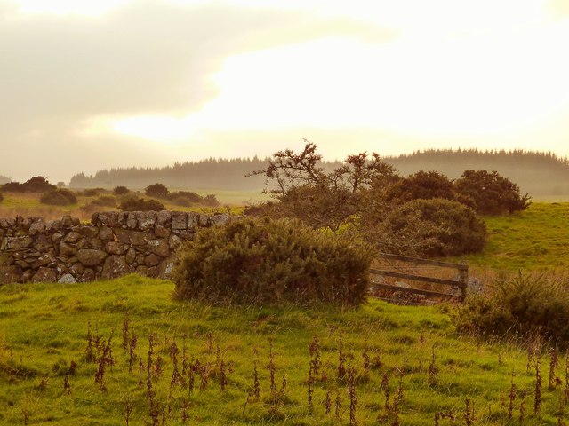
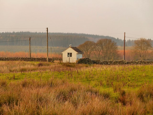
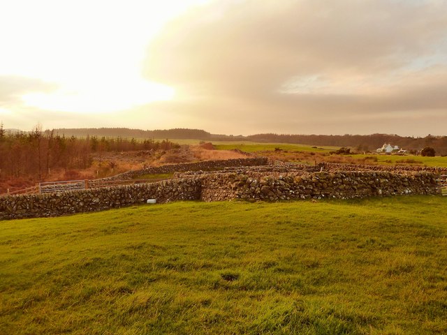
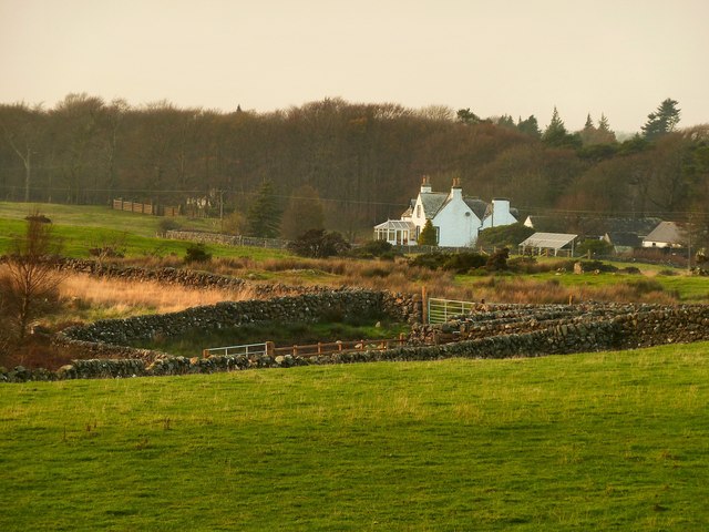
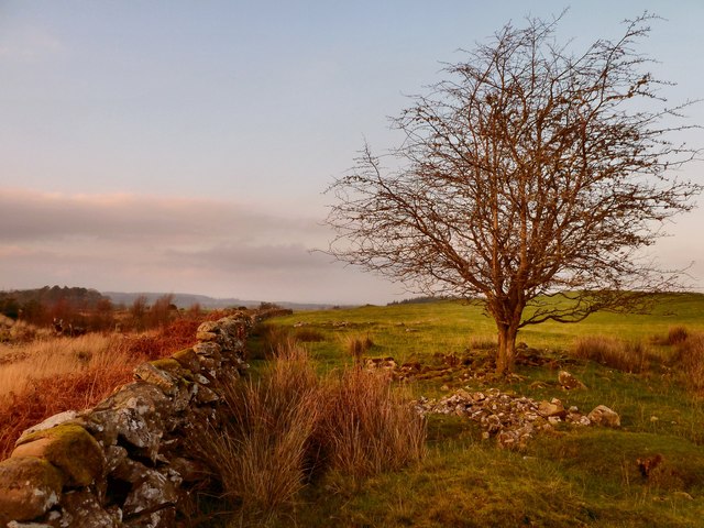
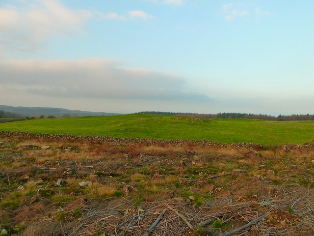
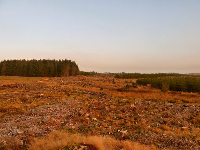
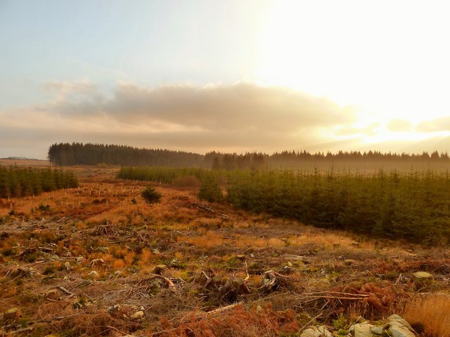
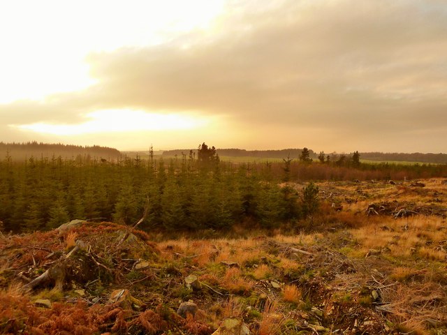
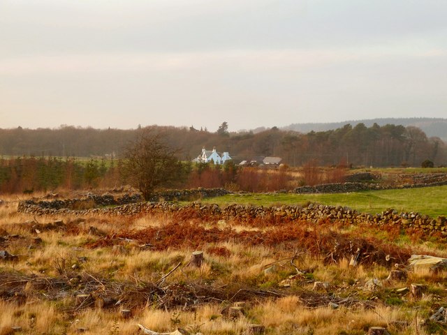
Kennel Wood, located in Wigtownshire, is a serene and picturesque forest that covers an area of approximately 100 hectares. Nestled amidst the stunning Scottish countryside, this woodland is a haven for nature enthusiasts and those seeking a peaceful retreat.

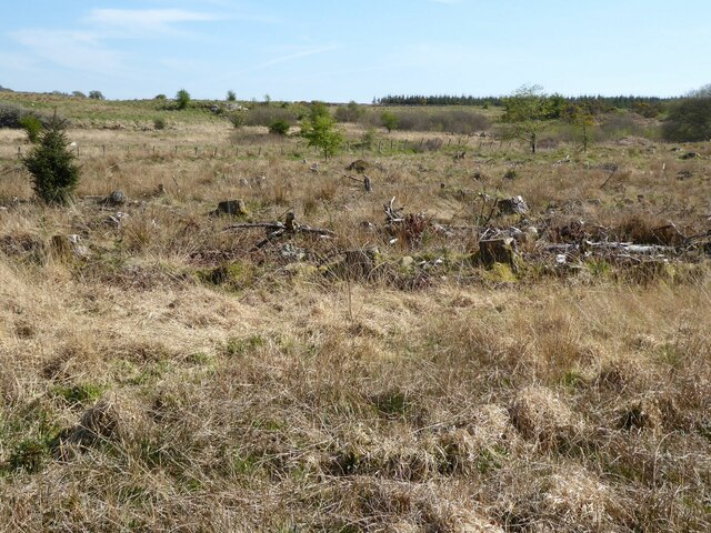
The wood is predominantly composed of native broadleaf trees such as oak, beech, and birch, which create a diverse and vibrant ecosystem. The tall, majestic trees provide a dense canopy that filters the sunlight, casting a soothing shade over the forest floor. This allows for the growth of an array of undergrowth vegetation, including ferns, bluebells, and wild garlic, which add to the natural beauty of the wood.

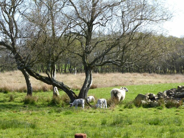
Kennel Wood is home to a variety of wildlife, with numerous bird species making it their habitat. Visitors may catch a glimpse of woodland birds such as robins, blackbirds, and great tits, as well as the occasional sighting of buzzards soaring above the treetops. The woodland floor also attracts small mammals like squirrels, rabbits, and voles.

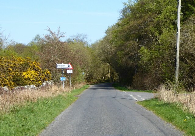
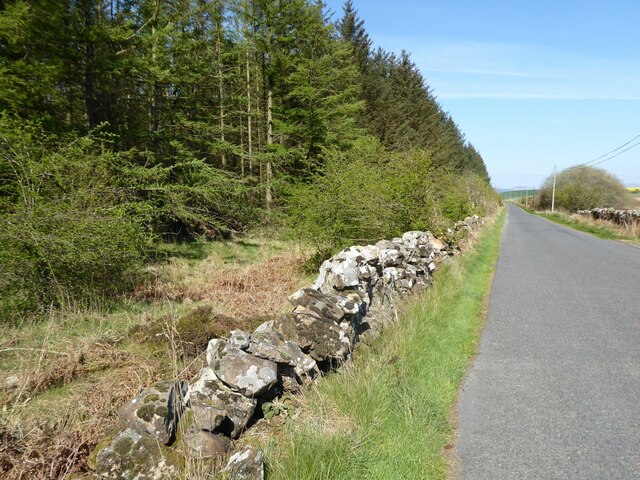
The wood is crisscrossed by a network of well-maintained footpaths, allowing visitors to explore and appreciate its tranquil surroundings. These paths lead to several viewpoints, offering breathtaking vistas of the surrounding countryside and the nearby Galloway Hills. The forest is also intersected by a charming stream, adding to the charm and serenity of the woodland environment.

Kennel Wood is a popular destination for outdoor activities such as walking, birdwatching, and photography. Its natural beauty, combined with its accessibility and peaceful ambiance, make it a cherished location for both locals and tourists seeking a connection with nature.

If you have any feedback on the listing, please let us know in the comments section below.
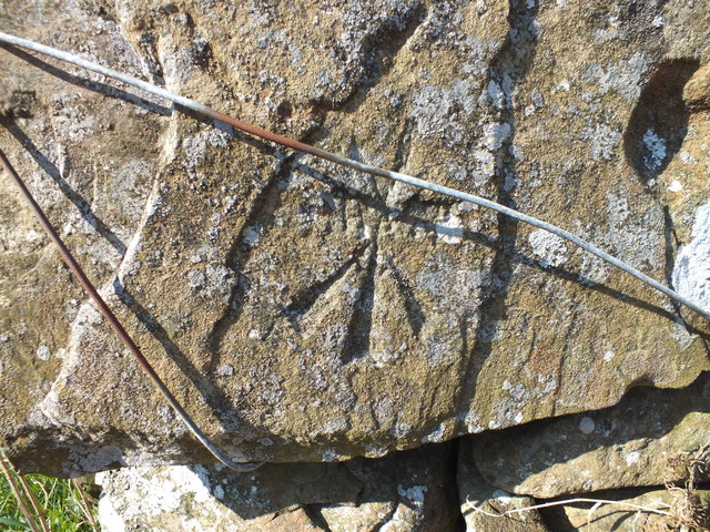
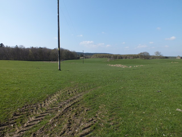
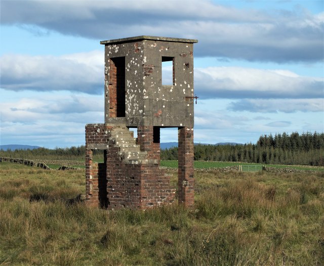
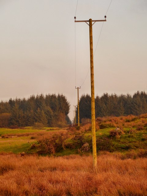
Kennel Wood Images

Images are sourced within 2km of 54.840769/-4.5781957 or Grid Reference NX3452. Thanks to Geograph Open Source API. All images are credited.

Ewe and triplets? Beside Laigh Glenling.
Ewe and triplets?
Beside Laigh Glenling.
Junction for Mochrum and Port William In the Machars.
Junction for Mochrum and Port William
In the Machars.
Clear felled forest Near Culmalzie.
Clear felled forest
Near Culmalzie.
Approaching Culmalzie  In The Machars.
Approaching Culmalzie
In The Machars.
Cancelled Benchmark A cancelled Ordnance Survey cut mark in a wall near Airriequhillart Farm.
Cancelled Benchmark
A cancelled Ordnance Survey cut mark in a wall near Airriequhillart Farm.
Power Line Across the fields near Airriequhillart Farm.
Power Line
Across the fields near Airriequhillart Farm.
Former World War 2 Observation Tower Connected with the wartime practice bombing range on nearby Flow of Airriequhillart.
Former World War 2 Observation Tower
Connected with the wartime practice bombing range on nearby Flow of Airriequhillart.
Airriequhillart View across this rough grazing land to a fire break in the forest.
Airriequhillart
View across this rough grazing land to a fire break in the forest.
Airriequhillart View across to the Flow of Airriequhillart on the horizon.
Airriequhillart
View across to the Flow of Airriequhillart on the horizon.
Mochrum Telephone Exchange This rural telephone exchange can be found at the side of the B7005.
Mochrum Telephone Exchange
This rural telephone exchange can be found at the side of the B7005.
Sheepfold This stone sheepfold is on rough grazing land due south of Mochrum Telephone Exchange. The line of a stane wall from the exchange takes you to this point.
Sheepfold
This stone sheepfold is on rough grazing land due south of Mochrum Telephone Exchange. The line of a stane wall from the exchange takes you to this point.
Airriequhillart Farm View past this sheepfold marked on OS Mapping to the farm.
Airriequhillart Farm
View past this sheepfold marked on OS Mapping to the farm.
Stane Wall and Tree The stane wall to the left runs north west in this direction and ends at the Mochrum Telephone Exchange by the B7005. The land to the right was being used to graze sheep when I visited. Left of centre on the horizon is a stane sheepfold <a href="https://www.geograph.org.uk/photo/2695133">NX3552 : Airriequhillart Farm</a>.
Stane Wall and Tree
The stane wall to the left runs north west in this direction and ends at the Mochrum Telephone Exchange by the B7005. The land to the right was being used to graze sheep when I visited. Left of centre on the horizon is a stane sheepfold NX3552 : Airriequhillart Farm.
Airriequhillart OS Mapping suggests this shot is taken from the forest with no clear picture in any direction. As is clear, the forest has been harvested and I'm standing on the top of the remains of a large tree on a rocky outcrop which was the best vantage point. The view here is north towards the B7005 with Airriequhillart Forest on the horizon.
Airriequhillart
OS Mapping suggests this shot is taken from the forest with no clear picture in any direction. As is clear, the forest has been harvested and I'm standing on the top of the remains of a large tree on a rocky outcrop which was the best vantage point. The view here is north towards the B7005 with Airriequhillart Forest on the horizon.
Airriequhillart OS Mapping suggests this shot is taken from the forest with no clear picture in any direction. As is clear, the forest has been harvested and I'm standing on the top of the remains of a large tree on a rocky outcrop which was the best vantage point. The view here is east through Airriequhillart Forest in the direction of Airlies Farm.
Airriequhillart
OS Mapping suggests this shot is taken from the forest with no clear picture in any direction. As is clear, the forest has been harvested and I'm standing on the top of the remains of a large tree on a rocky outcrop which was the best vantage point. The view here is east through Airriequhillart Forest in the direction of Airlies Farm.
Something Old, Something New OS Mapping suggests this shot is taken from the forest with no clear picture in any direction. As is clear, the forest has been harvested and I'm standing on the top of the remains of a large tree on a rocky outcrop which was the best vantage point. The view here is south towards Gunion Hill and the Flow of Airriequhillart which has the oldest trees in the forest. Moving closer to the camera recently planted trees can be seen as well as very young saplings still protected from the elements and wildlife.
Something Old, Something New
OS Mapping suggests this shot is taken from the forest with no clear picture in any direction. As is clear, the forest has been harvested and I'm standing on the top of the remains of a large tree on a rocky outcrop which was the best vantage point. The view here is south towards Gunion Hill and the Flow of Airriequhillart which has the oldest trees in the forest. Moving closer to the camera recently planted trees can be seen as well as very young saplings still protected from the elements and wildlife.
Airriequhillart OS Mapping suggests this shot is taken from the forest with no clear picture in any direction. As is clear, the forest has been harvested and I'm standing on the top of the remains of a large tree on a rocky outcrop which was the best vantage point. The view here is west towards the Flow of Airriequhillart.
Airriequhillart
OS Mapping suggests this shot is taken from the forest with no clear picture in any direction. As is clear, the forest has been harvested and I'm standing on the top of the remains of a large tree on a rocky outcrop which was the best vantage point. The view here is west towards the Flow of Airriequhillart.
Harvested Forest View across from the edge of this harvested forest towards Airriequhillart Farm centre of picture.
Harvested Forest
View across from the edge of this harvested forest towards Airriequhillart Farm centre of picture.
Show me another place!

Kennel Wood is located at Grid Ref: NX3452 (Lat: 54.840769, Lng: -4.5781957)

Unitary Authority: Dumfries and Galloway

Police Authority: Dumfries and Galloway

What 3 Words

///passages.trap.buying. Near Newton Stewart, Dumfries & Galloway

Related Wikis

Mochrum Loch

Mochrum Loch is a large, irregular shaped, shallow, freshwater loch in Dumfries and Galloway, in the Southern Uplands of south-west Scotland. It lies approximately...

Machars

The Machars (Scottish Gaelic: Machair Ghallghaidhealaibh) is a peninsula in the historical county of Wigtownshire in Galloway in the south-west of Scotland...

Mochrum

Mochrum () is a coastal civil and Church of Scotland parish situated to the east of Luce Bay on the Machars peninsula and 8 miles (13 km) southwest of...

Doon of May

The Doon of May is a conifer plantation associated with an Iron Age hill fort in Dumfries and Galloway, south-west Scotland. Located around 14 kilometres...

Torhouse

The Standing Stones of Torhouse (also Torhousekie) are a stone circle of nineteen granite boulders on the land of Torhouse, three miles west of Wigtown...

Elrig

Elrig (Scottish Gaelic: An Eileirg, meaning "the deer run") is a clachan or hamlet in the historical county of Wigtownshire in Dumfries and Galloway...

Castle Loch, Dumfries and Galloway

Castle Loch is a large, shallow, freshwater loch in Dumfries and Galloway, in the Southern Uplands of south-west Scotland. It lies to the west of Mochrum...

Castle Loch

Castle Loch is a shallow eutrophic loch covering an area of around 100 hectares in the town of Lochmaben in Dumfries and Galloway, Scotland. It lies to...

Nearby Amenities

Located within 500m of 54.840769,-4.5781957
Power: pole
Lat/Long: 54.8405668/-4.5710263
Power: pole
Lat/Long: 54.8411444/-4.5719699
Power: pole
Lat/Long: 54.8411134/-4.5730343
Power: pole
Lat/Long: 54.8410704/-4.5743787
Power: pole
Lat/Long: 54.8410428/-4.5757212
Power: pole
Lat/Long: 54.840728/-4.5766207
Power: pole
Lat/Long: 54.8404309/-4.5774914
Power: pole
Lat/Long: 54.8401206/-4.5784119
Power: pole
Lat/Long: 54.8398169/-4.5793172
Power: pole
Lat/Long: 54.8395363/-4.5801265
Power: pole
Lat/Long: 54.8406385/-4.5754354
Power: pole
Lat/Long: 54.8402233/-4.5751535
The data included in this document is from www.openstreetmap.org. The data is made available under ODbL.

Have you been to Kennel Wood?

Leave your review of Kennel Wood below (or comments, questions and feedback).