Craigmarloch Wood

Wood, Forest in Renfrewshire

Scotland

Craigmarloch Wood

Knockbuckle Road, Kilmacolm Just north of the rugby pitches.
Knockbuckle Road, Kilmacolm Credit: Stephen Sweeney

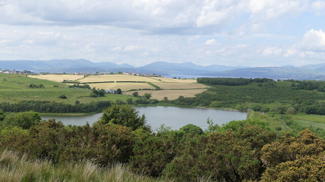
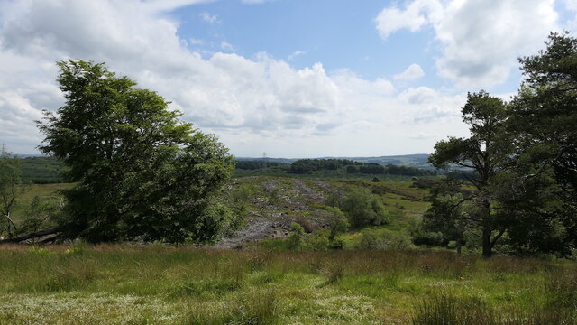
Craigmarloch Wood is a picturesque forest located in Renfrewshire, Scotland. Covering an area of approximately 100 hectares, it is a popular destination for nature lovers and outdoor enthusiasts. The wood is situated on the outskirts of the town of Craigmarloch, surrounded by breathtaking landscapes and stunning views.

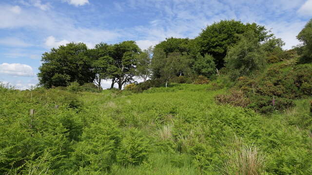
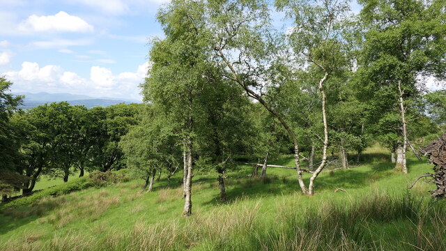
The woodland is predominantly composed of native tree species such as oak, birch, and rowan, creating a diverse and vibrant ecosystem. Walking trails wind their way through the forest, offering visitors the opportunity to explore the natural beauty and tranquility of the area. These paths are well-maintained and suitable for all ages and abilities.

Wildlife thrives in Craigmarloch Wood, with a variety of bird species, including woodpeckers and owls, making it their home. Small mammals like squirrels and rabbits can also be spotted darting between the trees. Nature enthusiasts can enjoy birdwatching or simply relish in the peaceful ambiance of the forest.

The wood is managed by the Forestry and Land Scotland, ensuring its conservation and providing a sustainable environment for both wildlife and visitors. Several picnic areas and benches are scattered throughout the wood, providing perfect spots for relaxation and enjoying a packed lunch.

Craigmarloch Wood is a haven for those seeking respite from the hustle and bustle of everyday life. With its stunning scenery, abundant wildlife, and well-maintained trails, it offers an unforgettable experience for nature lovers and a wonderful opportunity to appreciate the beauty of Scotland's woodlands.

If you have any feedback on the listing, please let us know in the comments section below.

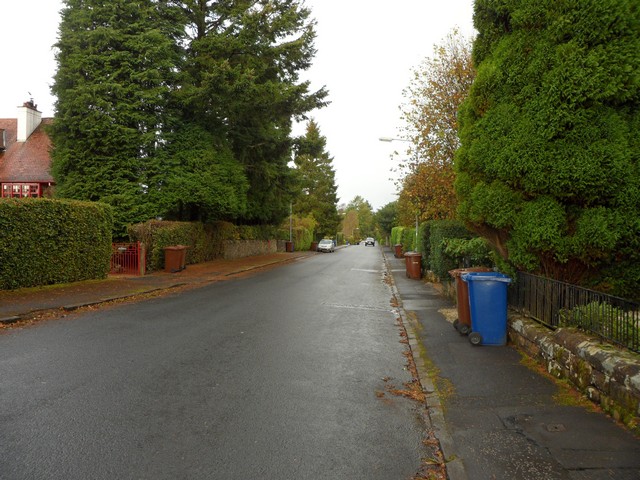
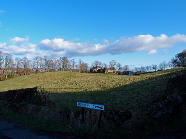
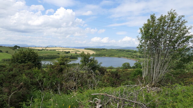
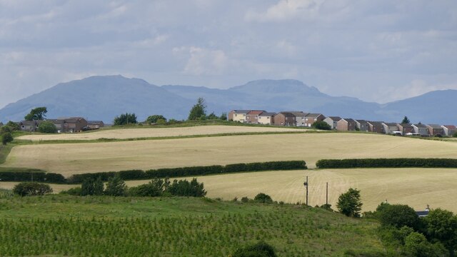
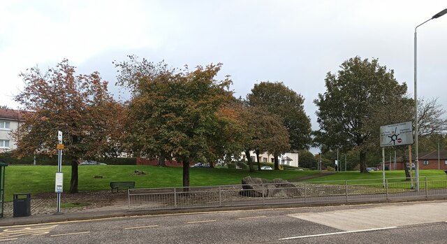
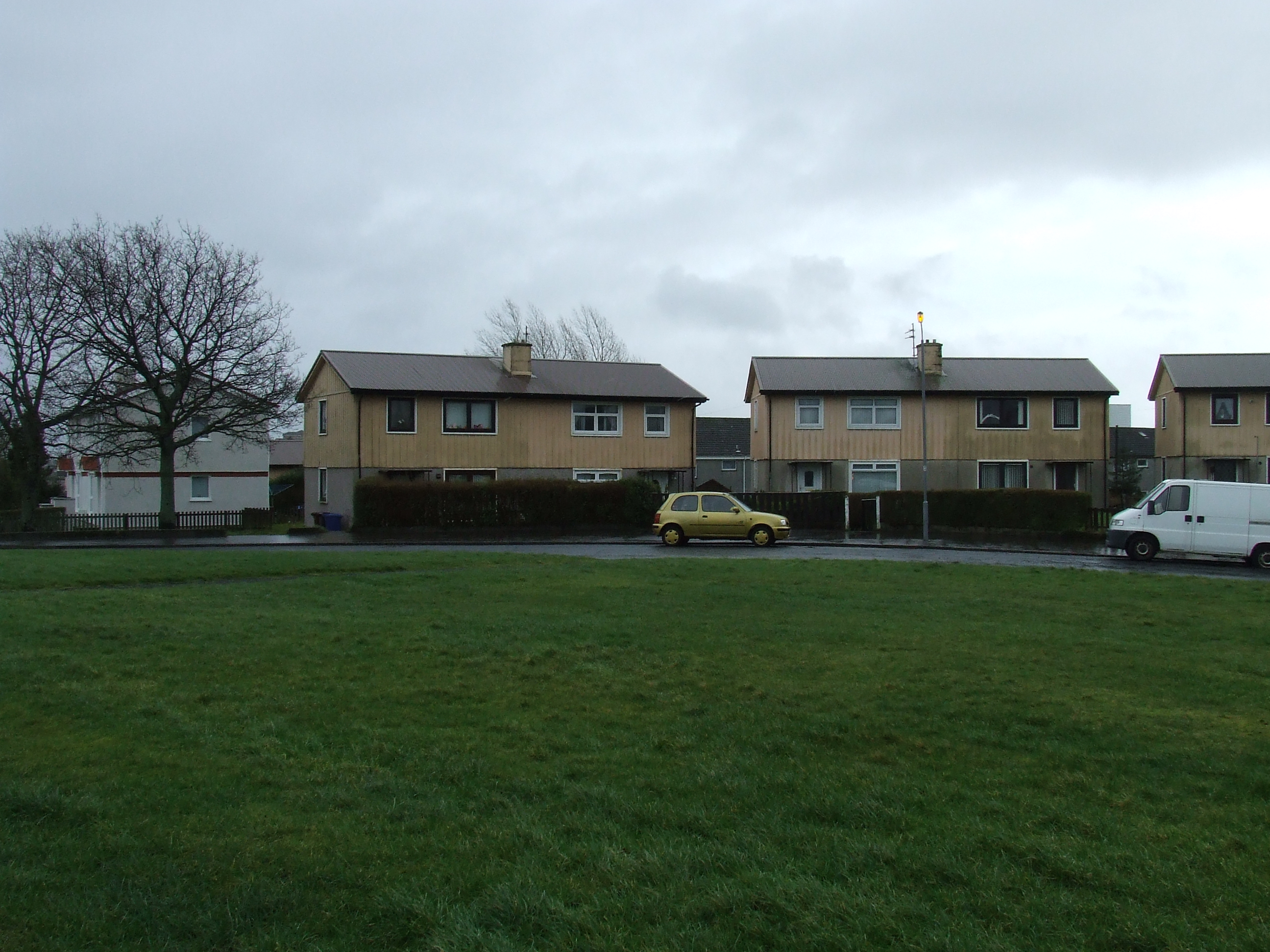
Craigmarloch Wood Images

Images are sourced within 2km of 55.911463/-4.6501458 or Grid Reference NS3471. Thanks to Geograph Open Source API. All images are credited.

Knockbuckle Road, Kilmacolm Just north of the rugby pitches.
Knockbuckle Road, Kilmacolm
Just north of the rugby pitches.
Netherwood Road near Kilmacolm Minor road junction near Netherwood.
Netherwood Road near Kilmacolm
Minor road junction near Netherwood.
Auchendores Reservoir Seen from Finlaystone Road.
Auchendores Reservoir
Seen from Finlaystone Road.
Finlaystone Road
Finlaystone Road
Castle Hill The edge of Port Glasgow.
Castle Hill
The edge of Port Glasgow.
Auchendores Reservoir View from Knockmountain.
Auchendores Reservoir
View from Knockmountain.
Knockmountain
Knockmountain
On Knockmountain
On Knockmountain
Woodland, Knockmountain
Summit, Knockmountain
Felled area, Knockmountain Wood
Woodland, Knockmountain Older trees near the summit.
Woodland, Knockmountain
Older trees near the summit.
Field by Auchendores Reservoir
Finlaystone Road
Finlaystone Road
New flats on Dubbs Place On the site of the former Boglestone Clinic <a href="https://www.geograph.org.uk/photo/2836249">NS3373 : Boglestone Clinic</a>.
New flats on Dubbs Place
On the site of the former Boglestone Clinic NS3373 : Boglestone Clinic.
The Bogle Stone The stone was carried down Loch Long during the Ice Age and deposited near the top of the Clune Brae. Bogle is Scots for ghost and local legend states that a church minister once tried to blow up the stone with dynamite. Located beside the A761 Clune Brae, near Boglestone Roundabout.
The Bogle Stone
The stone was carried down Loch Long during the Ice Age and deposited near the top of the Clune Brae. Bogle is Scots for ghost and local legend states that a church minister once tried to blow up the stone with dynamite. Located beside the A761 Clune Brae, near Boglestone Roundabout.
Crosshill Childrens Home Newly built on Crosshill Place on the site of the former home of the same name. See also <a href="https://www.geograph.org.uk/photo/7319537">NS3373 : Crosshill Childrens Home</a>.
Crosshill Childrens Home
Newly built on Crosshill Place on the site of the former home of the same name. See also NS3373 : Crosshill Childrens Home.
Crosshill Childrens Home Newly built on Crosshill Place on the site of the former home of the same name. See also <a href="https://www.geograph.org.uk/photo/7319533">NS3373 : Crosshill Childrens Home</a>.
Crosshill Childrens Home
Newly built on Crosshill Place on the site of the former home of the same name. See also NS3373 : Crosshill Childrens Home.
Show me another place!

Craigmarloch Wood is located at Grid Ref: NS3471 (Lat: 55.911463, Lng: -4.6501458)

Unitary Authority: Inverclyde

Police Authority: Renfrewshire and Inverclyde

What 3 Words

///proved.streetcar.speaks. Near Kilmacolm, Inverclyde

Related Wikis

Bardrainney

Bardrainney is a neighbourhood of Port Glasgow, in the Inverclyde district of Scotland. Bardrainney, possibly from the Gaelic for "hill of thorns", is...

Mid Auchinleck

Mid Auchinleck is an area in the town of Port Glasgow, Inverclyde, Scotland. Mid Auchinleck was the name of a now disappeared farm located on this site...

Park Farm, Port Glasgow

Park Farm is a housing scheme in the upper east area of Port Glasgow, Inverclyde, Scotland, built on the site of Park farm which stood near Parkhill Square...

Port Glasgow Upper railway station

Port Glasgow Upper was a railway station serving Port Glasgow, Renfrewshire, Scotland, originally as part of the Greenock and Ayrshire Railway. == History... ==

Nearby Amenities

Located within 500m of 55.911463,-4.6501458
Power: tower
Source: Bing
Lat/Long: 55.9133618/-4.6478197
Power: tower
Source: Bing
Lat/Long: 55.9124678/-4.6429763
Power: tower
Source: Bing
Lat/Long: 55.9142073/-4.6524006
Power: pole
Lat/Long: 55.9073532/-4.6511616
Power: pole
Lat/Long: 55.9072259/-4.64967
Power: pole
Lat/Long: 55.9071057/-4.648243
Power: pole
Lat/Long: 55.9073018/-4.6476222
Power: pole
Lat/Long: 55.9077689/-4.6462119
Power: pole
Lat/Long: 55.908264/-4.6446953
Power: pole
Lat/Long: 55.9101965/-4.6428538
The data included in this document is from www.openstreetmap.org. The data is made available under ODbL.

Have you been to Craigmarloch Wood?

Leave your review of Craigmarloch Wood below (or comments, questions and feedback).