Canfield End

Settlement in Essex Uttlesford

England

Canfield End

Stortford Road Bridge, A120 The A120 is a trunk road that runs east-west across East Anglia from Harwich to Puckeridge, 63 miles in length. It follows the route of the Roman Road, Stane Street. <span class="nowrap"><a title="http://www.sabre-roads.org.uk/wiki/index.php?title=A120" rel="nofollow ugc noopener" href="http://www.sabre-roads.org.uk/wiki/index.php?title=A120">Link</a><img style="margin-left:2px;" alt="External link" title="External link - shift click to open in new window" src="https://s1.geograph.org.uk/img/external.png" width="10" height="10"/></span>
Stortford Road Bridge, A120 Credit: N Chadwick

Canfield End is a small village located in the county of Essex, England. Situated in the district of Uttlesford, it is nestled amidst picturesque countryside, offering residents and visitors a tranquil and idyllic setting. Canfield End is situated approximately 9 miles east of the market town of Dunmow and about 15 miles southwest of the city of Chelmsford.

The village is characterized by its charming rural atmosphere, with a mix of traditional and modern houses dotting the landscape. It is home to a close-knit community, boasting a population of around 200 people. The village is renowned for its friendly and welcoming residents who contribute to a strong community spirit.

Despite its small size, Canfield End offers a range of amenities to cater to the needs of its residents. These include a village hall, a primary school, and a local pub, which serves as a gathering place for both locals and visitors alike. The village is also well-connected, with good road links to nearby towns and villages.

Surrounded by beautiful countryside, Canfield End is a haven for nature enthusiasts. There are several walking and cycling trails in the area, allowing residents to enjoy the stunning vistas and explore the local flora and fauna. Additionally, the village is in close proximity to several nature reserves and parks, providing ample opportunities for outdoor activities and leisure pursuits.

Overall, Canfield End is a charming and peaceful village that offers residents a quality rural lifestyle, while also providing easy access to nearby amenities and natural beauty.

If you have any feedback on the listing, please let us know in the comments section below.
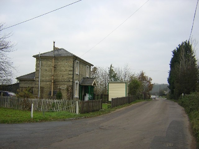
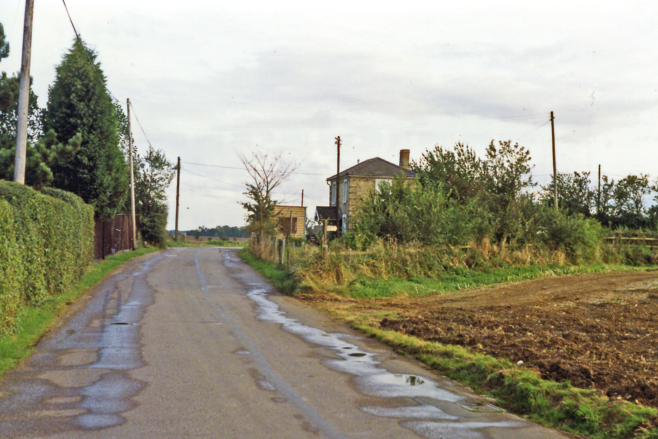
Canfield End Images

Images are sourced within 2km of 51.867181/0.305052 or Grid Reference TL5821. Thanks to Geograph Open Source API. All images are credited.

Stortford Road Bridge, A120 The A120 is a trunk road that runs east-west across East Anglia from Harwich to Puckeridge, 63 miles in length. It follows the route of the Roman Road, Stane Street. <span class="nowrap"><a title="http://www.sabre-roads.org.uk/wiki/index.php?title=A120" rel="nofollow ugc noopener" href="http://www.sabre-roads.org.uk/wiki/index.php?title=A120">Link</a><img style="margin-left:2px;" alt="External link" title="External link - shift click to open in new window" src="https://s1.geograph.org.uk/img/external.png" width="10" height="10"/></span>
Stortford Road Bridge, A120
The A120 is a trunk road that runs east-west across East Anglia from Harwich to Puckeridge, 63 miles in length. It follows the route of the Roman Road, Stane Street. LinkExternal link
Roundabout for the A120, Dunmow
Dunmow Fencing Supplies on Stortford Road
Roundabout on Stortford Road, Dunmow The exit is for the A120 eastbound
Roundabout on Stortford Road, Dunmow
The exit is for the A120 eastbound
Roundabout on the Dunmow Interchange The old and new A120 connect here. The old road has just been reduced to 30mph and had various housing estates built along it all with their own little roundabouts.
Roundabout on the Dunmow Interchange
The old and new A120 connect here. The old road has just been reduced to 30mph and had various housing estates built along it all with their own little roundabouts.
The entrance to High Wood, Great Dunmow
High Cross Lane Passing Hales Farm off to the right.
High Cross Lane
Passing Hales Farm off to the right.
Wheat field north of Baconend Green
Route 16 Route 16 on the National Cycle Network and the Flitch Way Country Park <span class="nowrap"><a title="https://www.essexhighways.org/Uploads/Files/flitchway.pdf" rel="nofollow ugc noopener" href="https://www.essexhighways.org/Uploads/Files/flitchway.pdf">Link</a><img style="margin-left:2px;" alt="External link" title="External link - shift click to open in new window" src="https://s1.geograph.org.uk/img/external.png" width="10" height="10"/></span>
Route 16
Route 16 on the National Cycle Network and the Flitch Way Country Park LinkExternal link
High Cross Lane Crossing Keeper's Cottage A former level crossing keeper's house.
High Cross Lane Crossing Keeper's Cottage
A former level crossing keeper's house.
Copt Hall Cottage near Little Canfield, Essex This is the view from Highcross Lane.
Copt Hall Cottage near Little Canfield, Essex
This is the view from Highcross Lane.
Little Oddyns house
Little Oddyns house
Small footbridge over a stream
View towards Great Oddyns
Easton Lodge halt - gate keeper's cottage. Easton Lodge halt on the former Bishop's Stortford to Braintree line.  Immediately ahead was the level crossing and the halt just to the left.  The road off to the bottom left leads to the banana ripening factory.  The trackbed is now a footpath and cycle route.
Easton Lodge halt - gate keeper's cottage.
Easton Lodge halt on the former Bishop's Stortford to Braintree line. Immediately ahead was the level crossing and the halt just to the left. The road off to the bottom left leads to the banana ripening factory. The trackbed is now a footpath and cycle route.
High Cross Lane, just west of Great Dunmow, Essex
Old gatehouse at High Wood, Gt. Dunmow, Essex This ruined brick gatehouse stands at the entrance to High Wood. Information about it is not easy to find.
Old gatehouse at High Wood, Gt. Dunmow, Essex
This ruined brick gatehouse stands at the entrance to High Wood. Information about it is not easy to find.
Essex field and wood Open Essex field with small area of woodland, probably part of the larger High Wood at the entrance to the Easton Lodge estate.
Essex field and wood
Open Essex field with small area of woodland, probably part of the larger High Wood at the entrance to the Easton Lodge estate.
Show me another place!

Canfield End is located at Grid Ref: TL5821 (Lat: 51.867181, Lng: 0.305052)

Administrative County: Essex

District: Uttlesford

Police Authority: Essex

What 3 Words

///swear.pool.condensed. Near Takeley, Essex

Nearby Locations

Canfield End

Related Wikis

Nearby Amenities

Located within 500m of 51.867181,0.305052
Bus Stop
Little Canfield Hall
Bus: yes
Naptan AtcoCode: 150020015002
Naptan Bearing: E
Naptan CommonName: Little Canfield Hall
Naptan Crossing: Church Lane
Naptan Indicator: o/s
Naptan Landmark: Little Canfield Hall
Naptan NaptanCode: esxdgjpm
Naptan Street: B1256 Stortford Road
Naptan Verified: no
Public Transport: platform
Source: naptan_import
Lat/Long: 51.8680286/0.3058212
Bus Stop
Little Canfield Hall
Bus: yes
Naptan AtcoCode: 1500200150Y2
Naptan Bearing: W
Naptan BusStopType: CUS
Naptan CommonName: Little Canfield Hall
Naptan Crossing: Church Lane
Naptan Indicator: Opp
Naptan Landmark: Little Canfield Hall
Naptan NaptanCode: esxgwjgp
Naptan Street: B1256 Stortford Road
Naptan Verified: no
Public Transport: platform
Source: naptan_import
Lat/Long: 51.8679463/0.3058896
Little Canfield
Place: village
Lat/Long: 51.8689018/0.305381
Cafe
Green Cafe
Addr City: Little Canfield
Addr Housename: Blatches Gate
Addr Postcode: CM6 1SR
Addr Street: Church Lane
Website: http://www.localfoodandmore.org.uk/projects/green-cafe/
Lat/Long: 51.8671118/0.303006
Power: pole
Lat/Long: 51.8646879/0.3109646
Power: pole
Lat/Long: 51.8648718/0.3103101
Crossing
Lat/Long: 51.8680923/0.3037791
Crossing
Crossing: unmarked
Crossing Island: no
Crossing Markings: no
Tactile Paving: yes
Lat/Long: 51.8679574/0.3070145
Barrier: swing_gate
Lat/Long: 51.8669827/0.3029483
Bench
Backrest: no
Lat/Long: 51.8668825/0.3040976
Barrier: motorcycle_barrier
Lat/Long: 51.8667872/0.2997821
Barrier: motorcycle_barrier
Lat/Long: 51.8667853/0.2996827
Bench
Backrest: no
Material: wood
Lat/Long: 51.8670005/0.3112309
Man Made: pumping_station
Lat/Long: 51.8678897/0.3008343
Colour: red and white
Marker: aerial
Utility: gas
Lat/Long: 51.8681243/0.3093785
Colour: red and white
Marker: aerial
Utility: gas
Lat/Long: 51.8679871/0.309862
Colour: red and white
Marker: aerial
Utility: gas
Lat/Long: 51.8678677/0.3093617
Inscription: Little Cranfield. Please Drive Carefully
Traffic Sign: city_limit
Lat/Long: 51.8680651/0.3094233
Inscription: Little Cranfield. Please Drive Carefully
Traffic Sign: city_limit
Lat/Long: 51.8679573/0.3094389
Colour: red
Marker: post
Utility: gas
Lat/Long: 51.867987/0.3098577
Colour: red
Marker: post
Utility: gas
Lat/Long: 51.8680914/0.309842
The data included in this document is from www.openstreetmap.org. The data is made available under ODbL.

Have you been to Canfield End?

Leave your review of Canfield End below (or comments, questions and feedback).