Auchengaillie Plantation
Wood, Forest in Wigtownshire
Scotland
Auchengaillie Plantation
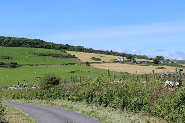
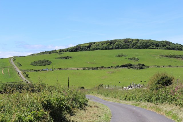
Auchengaillie Plantation is a picturesque woodland area located in Wigtownshire, Scotland. Covering approximately 150 acres, the plantation is known for its diverse range of trees and serene natural beauty. The plantation is situated close to the village of Auchengaillie, providing easy access for visitors.
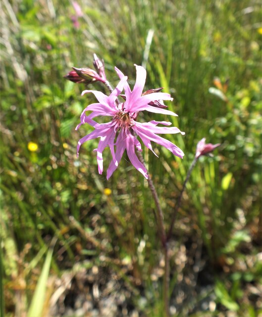
The woodland is predominantly composed of native tree species, including oak, birch, and ash. These trees create a dense canopy, resulting in a cool and shaded environment during the summer months. The plantation also features a variety of shrubs, wildflowers, and ferns, adding to its rich biodiversity.
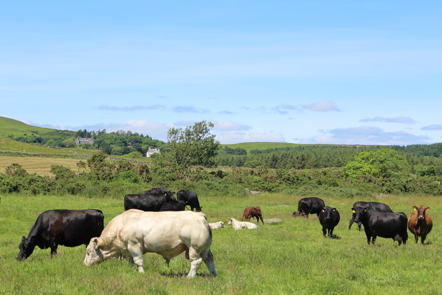
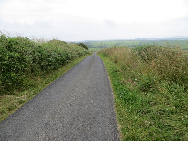
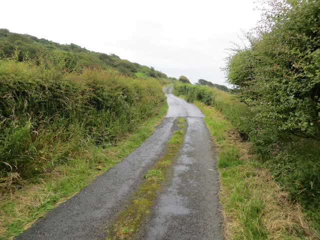
Auchengaillie Plantation offers several walking trails for visitors to explore the area. These well-maintained paths wind through the woodland, providing an opportunity to observe the local flora and fauna. The plantation is home to a wide range of wildlife, including red squirrels, roe deer, and various bird species, making it a popular spot for nature enthusiasts and birdwatchers.
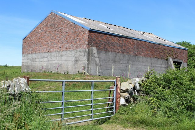
In addition to its natural beauty, Auchengaillie Plantation has historical significance. It was originally part of a larger estate and was used for timber production in the past. Today, the woodland is managed sustainably, balancing conservation efforts with the harvest of timber.
Overall, Auchengaillie Plantation offers a tranquil and captivating experience for nature lovers and those seeking a peaceful retreat. Its combination of diverse flora, abundant wildlife, and well-maintained trails make it a must-visit destination for anyone exploring the beauty of Wigtownshire.
If you have any feedback on the listing, please let us know in the comments section below.
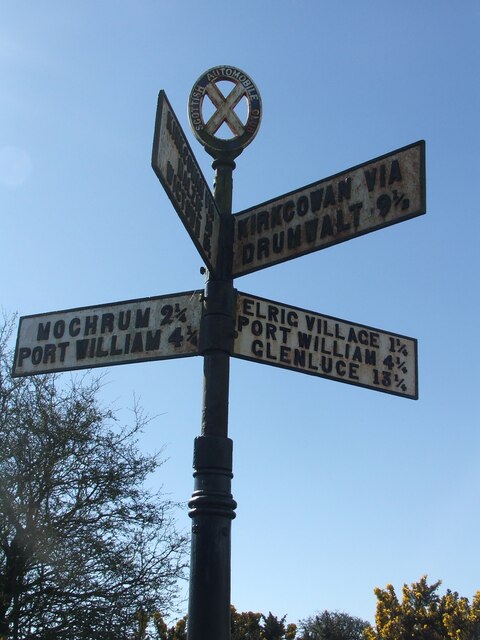
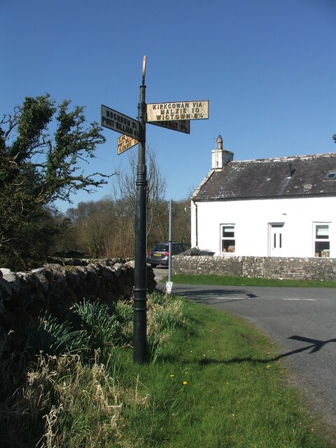
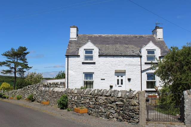
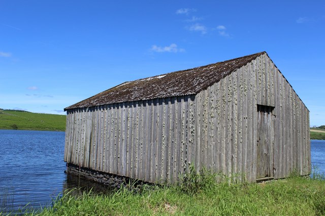
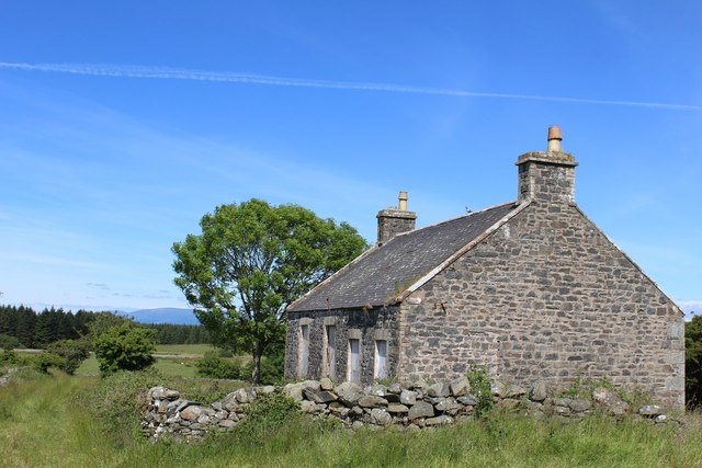
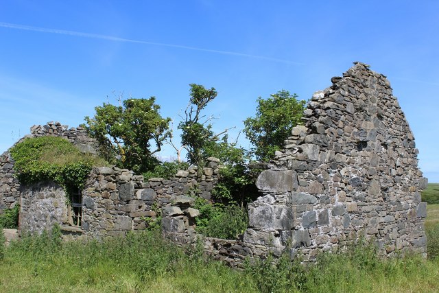
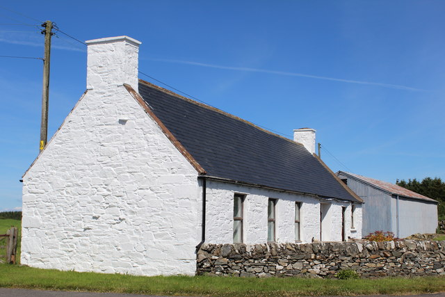
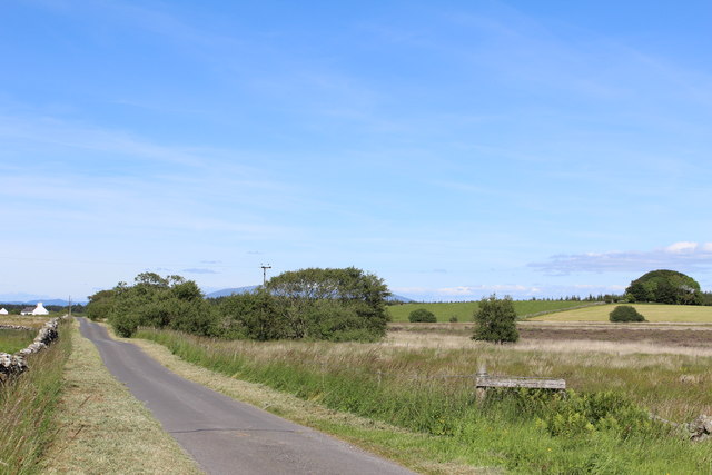
Auchengaillie Plantation Images
Images are sourced within 2km of 54.802124/-4.5920725 or Grid Reference NX3348. Thanks to Geograph Open Source API. All images are credited.
Auchengaillie Plantation is located at Grid Ref: NX3348 (Lat: 54.802124, Lng: -4.5920725)
Unitary Authority: Dumfries and Galloway
Police Authority: Dumfries and Galloway
What 3 Words
///steam.chap.tolerates. Near Whithorn, Dumfries & Galloway
Nearby Locations
Related Wikis

Elrig
Elrig (Scottish Gaelic: An Eileirg, meaning "the deer run") is a clachan or hamlet in the historical county of Wigtownshire in Dumfries and Galloway...

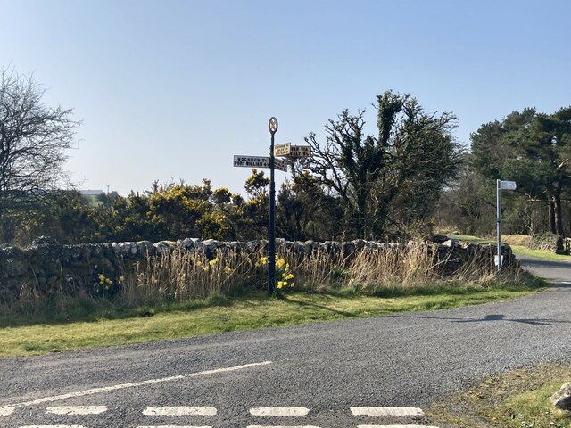
Mochrum
Mochrum () is a coastal civil and Church of Scotland parish situated to the east of Luce Bay on the Machars peninsula and 8 miles (13 km) southwest of...

Machars
The Machars (Scottish Gaelic: Machair Ghallghaidhealaibh) is a peninsula in the historical county of Wigtownshire in Galloway in the south-west of Scotland...

Port William, Dumfries and Galloway
Port William (Scottish Gaelic: Cill na Tràghad) is a fishing village in the parish of Mochrum in the historical county of Wigtownshire, Dumfries and Galloway...

Drumtroddan standing stones
The Drumtroddan standing stones (grid reference NX 36449 44300) are a small Neolithic or Bronze Age stone alignment in the parish of Mochrum, Wigtownshire...

Doon of May
The Doon of May is a conifer plantation associated with an Iron Age hill fort in Dumfries and Galloway, south-west Scotland. Located around 14 kilometres...

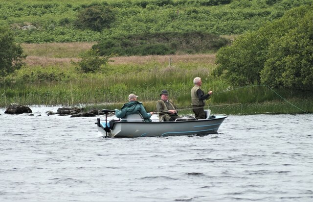
Mochrum Loch
Mochrum Loch is a large, irregular shaped, shallow, freshwater loch in Dumfries and Galloway, in the Southern Uplands of south-west Scotland. It lies approximately...

Monreith House
Monreith House is a category A listed Georgian mansion located 1.5 kilometres (0.93 mi) east of the village of Port William in Mochrum parish in the historical...
Nearby Amenities
Located within 500m of 54.802124,-4.5920725Have you been to Auchengaillie Plantation?
Leave your review of Auchengaillie Plantation below (or comments, questions and feedback).