Northfield Wood
Wood, Forest in Dunbartonshire
Scotland
Northfield Wood

Northfield Wood is a picturesque forest located in Dunbartonshire, Scotland. Sprawling over an area of approximately 100 acres, it is a popular destination for nature enthusiasts and outdoor adventurers alike.
The wood is characterized by its diverse range of tree species, including oak, birch, and pine, which create a stunning canopy of greenery. The forest floor is adorned with a variety of wildflowers, adding splashes of color to the landscape. The wood is also home to a plethora of wildlife, including deer, foxes, and a multitude of bird species, making it a haven for birdwatchers and wildlife photographers.
The forest boasts a network of well-maintained walking trails, which offer visitors the opportunity to explore the wood at their own pace. These trails wind through the wood, providing stunning views of the surrounding countryside and glimpses of the nearby Loch Lomond and Trossachs National Park.
Northfield Wood is also a haven for outdoor activities such as hiking, cycling, and picnicking. The tranquil atmosphere and breathtaking scenery make it an ideal spot for a peaceful escape from the hustle and bustle of everyday life.
In addition to its natural beauty, the wood is steeped in history. It is believed to have been inhabited since ancient times, with archaeological finds indicating human presence dating back thousands of years. The wood also features remnants of old structures, including a ruined castle, adding to its charm and intrigue.
Overall, Northfield Wood is a hidden gem in Dunbartonshire, offering visitors a chance to immerse themselves in nature, discover its rich history, and enjoy a range of outdoor activities.
If you have any feedback on the listing, please let us know in the comments section below.
Northfield Wood Images
Images are sourced within 2km of 56.00317/-4.6767961 or Grid Reference NS3382. Thanks to Geograph Open Source API. All images are credited.


Northfield Wood is located at Grid Ref: NS3382 (Lat: 56.00317, Lng: -4.6767961)
Unitary Authority: Argyll and Bute
Police Authority: Argyll and West Dunbartonshire
What 3 Words
///scanty.upholds.gladiator. Near Helensburgh, Argyll & Bute
Nearby Locations
Related Wikis

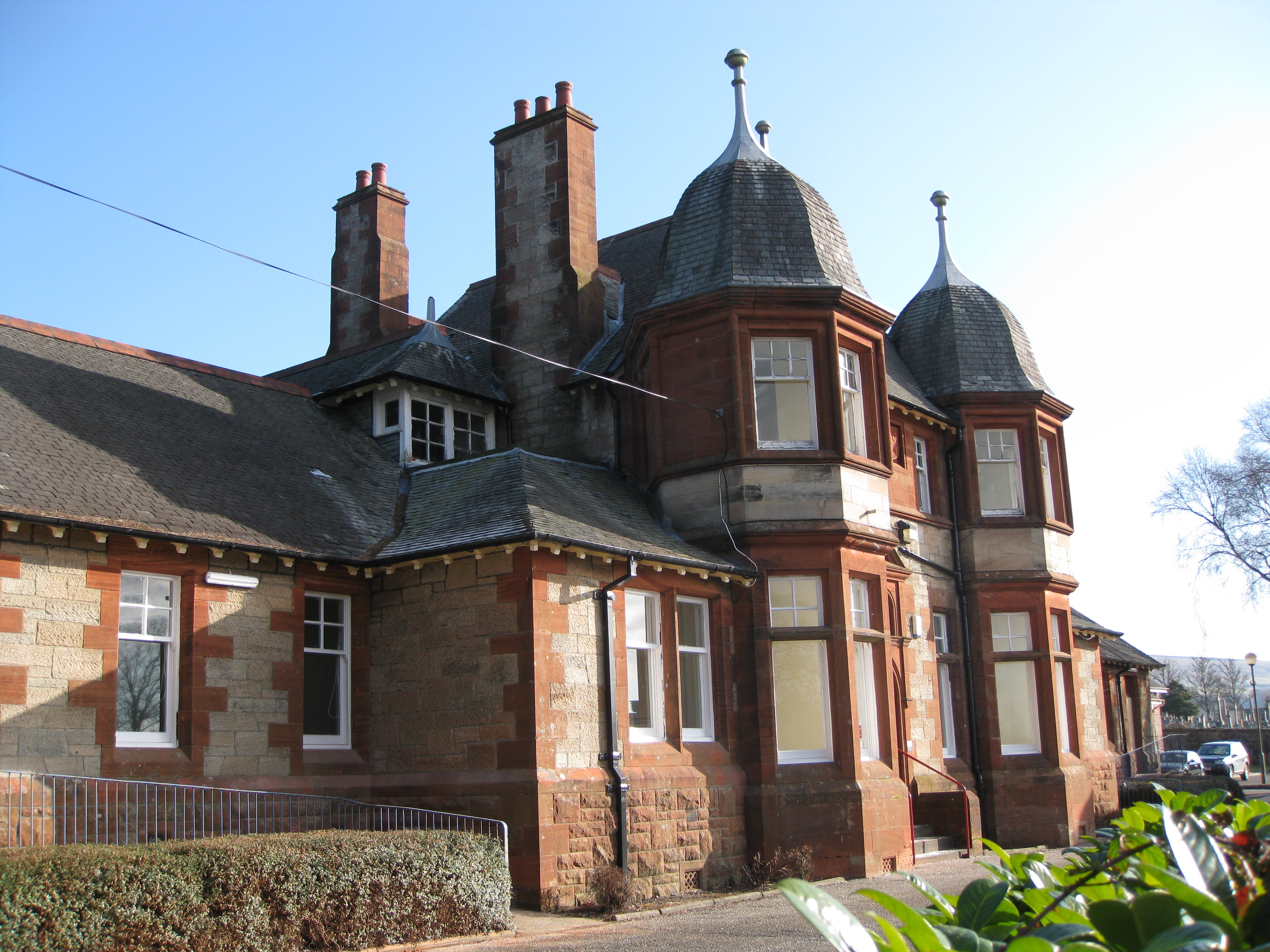
Hermitage Academy, Helensburgh
Hermitage Academy is a non-denominational secondary school in Helensburgh, Argyll and Bute, Scotland. It is one of two secondary schools in the Helensburgh...
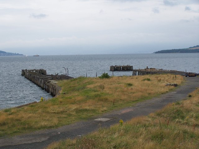
Craigendoran
Craigendoran (Gaelic: Creag an Dòbhrain) is a suburb at the eastern end of Helensburgh in Scotland, on the northern shore of the Firth of Clyde. The name...
Colgrain
Colgrain is a village in Argyll and Bute, Scotland, located to the east of Helensburgh.The name Colgrain is known from at least 1377 when Sir William Denzeltoun...
Helensburgh Cemetery
Helensburgh Cemetery is an operational burial ground, dating from the mid 19th century, on the Old Luss Road in Helensburgh, Argyll, Scotland. Together...

Craigendoran railway station
Craigendoran railway station (Scottish Gaelic: Creag an Dòbhrain) is a railway station serving Craigendoran, east of Helensburgh, Scotland. The station...
Victoria Integrated Care Centre, Helensburgh
The Victoria Integrated Care Centre is a health facility in Helensburgh, Scotland. It is managed by NHS Highland. == History == The facility has its origins...

Dumbarton (district)
Dumbarton (Scottish Gaelic: Dùn Breatainn) was, from 1975 to 1996, one of nineteen local government districts in the Strathclyde region of Scotland, covering...

Helensburgh No. 1 Reservoir
The Helensburgh No. 1 reservoir is of the non-impounding variety. It is no longer part of the local water supply system and is used by Helensburgh Angling...
Nearby Amenities
Located within 500m of 56.00317,-4.6767961Have you been to Northfield Wood?
Leave your review of Northfield Wood below (or comments, questions and feedback).