Brae Glen Plantation

Wood, Forest in Ayrshire

Scotland

Brae Glen Plantation

Culroy Nr Ayr
Culroy Nr Ayr Credit: Chris

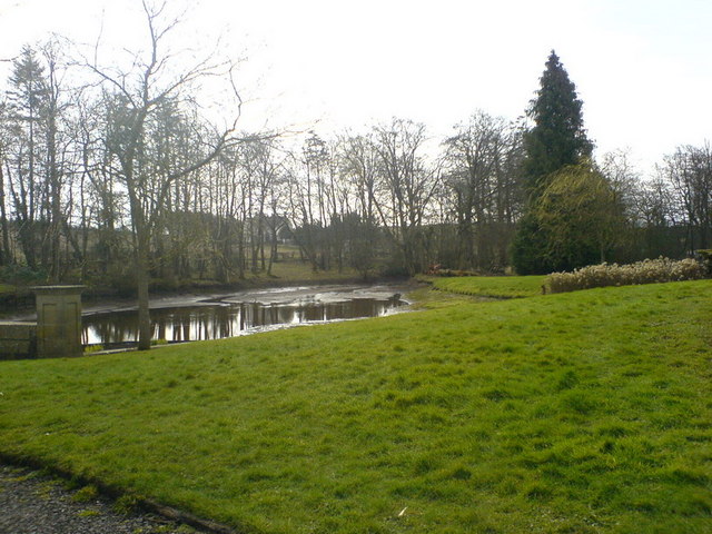
Brae Glen Plantation, located in Ayrshire, Scotland, is a picturesque woodland area that boasts a rich history and breathtaking natural beauty. Covering an expansive area, the plantation is home to a diverse range of trees and wildlife, making it a popular destination for nature enthusiasts and hikers alike.

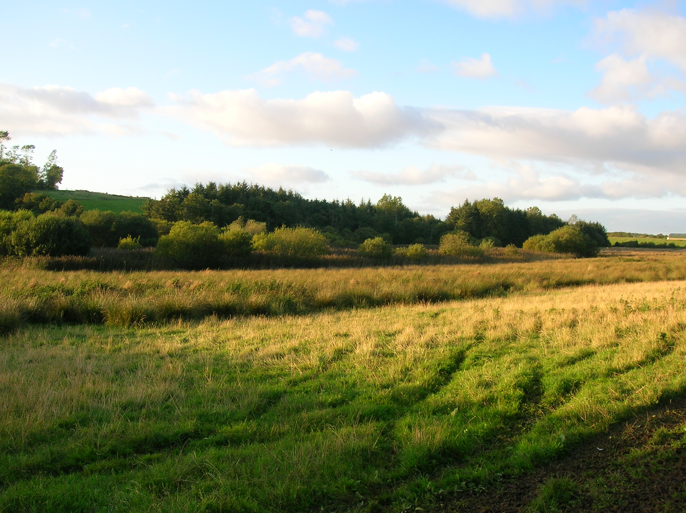
The plantation is characterized by its dense forest, featuring a variety of tree species such as oak, beech, and birch. These trees provide a vibrant canopy, creating a serene and tranquil atmosphere throughout the woodland. The plantation is meticulously maintained, with well-marked trails that allow visitors to explore the area and appreciate its natural splendor.

In addition to its scenic beauty, Brae Glen Plantation has a fascinating history. It was originally established in the 18th century as a timber plantation, providing a sustainable source of wood for local industries. Over the years, the plantation has evolved into a cherished recreational space, offering a peaceful retreat from the hustle and bustle of everyday life.

Nature lovers visiting Brae Glen Plantation can experience a wide array of wildlife, including various bird species, small mammals, and even elusive deer. The plantation's diverse ecosystem provides an ideal habitat for these creatures, making it a haven for wildlife enthusiasts and photographers.

Whether you're seeking a tranquil stroll through nature, an opportunity to spot wildlife, or a chance to learn about the region's history, Brae Glen Plantation in Ayrshire is a must-visit destination. Its enchanting woodlands and captivating surroundings guarantee a memorable experience for all who venture into its embrace.

If you have any feedback on the listing, please let us know in the comments section below.

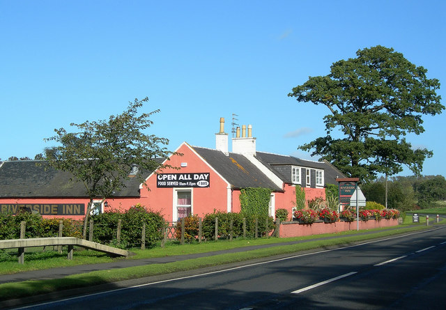
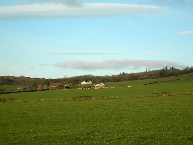
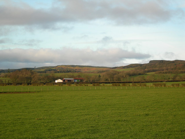
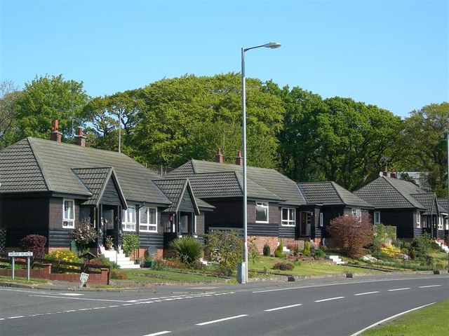
Brae Glen Plantation Images

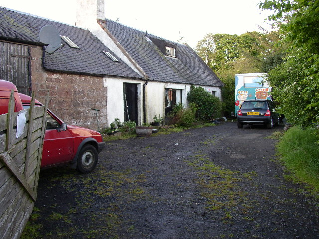
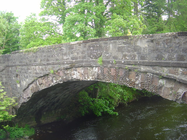
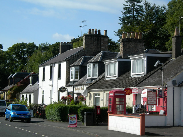
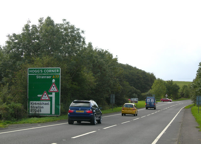
Images are sourced within 2km of 55.403276/-4.6481883 or Grid Reference NS3215. Thanks to Geograph Open Source API. All images are credited.

Culroy Nr Ayr
Culroy Nr Ayr
Monkwood Bridge Built in 1798.
Monkwood Bridge
Built in 1798.
River Doon
River Doon
Minishant Inn & Post Office Minishant Inn & Post Office, on the busy A77 trunk road near Ayr
Minishant Inn & Post Office
Minishant Inn & Post Office, on the busy A77 trunk road near Ayr
Hogg's Corner, Minishant The original dangerous corner was removed when the A77 was realigned in the early 1970s, but the name has been retained for the junction.
Hogg's Corner, Minishant
The original dangerous corner was removed when the A77 was realigned in the early 1970s, but the name has been retained for the junction.
River Doon at Nether Auchendrane Looking NE towards Nether Auchendrane on the opposite bank, where the River Doon enters a wooded area
River Doon at Nether Auchendrane
Looking NE towards Nether Auchendrane on the opposite bank, where the River Doon enters a wooded area
Riverside Inn Roadside inn near Minishant, on the A77 between Ayr and Maybole
Riverside Inn
Roadside inn near Minishant, on the A77 between Ayr and Maybole
River Doon Viewed from the new Monkwood Bridge, to the north of Minishant
River Doon
Viewed from the new Monkwood Bridge, to the north of Minishant
Water Gate Water gate on Culroy Burn, near Monkwood Mains, at Minishant
Water Gate
Water gate on Culroy Burn, near Monkwood Mains, at Minishant
North Carrick View A fine winter view of the north Carrick countryside taken from the B7024 near Whiteleys Farm.
North Carrick View
A fine winter view of the north Carrick countryside taken from the B7024 near Whiteleys Farm.
Beautiful North Carrick Looking east across the north Carrick countryside on a fine January afternoon.
Beautiful North Carrick
Looking east across the north Carrick countryside on a fine January afternoon.
Halfway Bridge The small bridge on the B7024, exactly half way between Maybole and Ayr.  The bridge crosses The Long Glen, just above a waterfall.  Near this spot was a Wallace Cave, a hiding place for William Wallace during his early fourteenth century guerrilla campaign against the English.  (Source: "Ayr Stories", by Dane Love).  The waterfall and the place names are shown on the Explorer Map.
Halfway Bridge
The small bridge on the B7024, exactly half way between Maybole and Ayr. The bridge crosses The Long Glen, just above a waterfall. Near this spot was a Wallace Cave, a hiding place for William Wallace during his early fourteenth century guerrilla campaign against the English. (Source: "Ayr Stories", by Dane Love). The waterfall and the place names are shown on the Explorer Map.
High Pinmore Looking along the south-eastern edge of the North Carrick Hills.
High Pinmore
Looking along the south-eastern edge of the North Carrick Hills.
Low Pinmore Looking along the south-eastern edge of the North Carrick Hills.
Low Pinmore
Looking along the south-eastern edge of the North Carrick Hills.
Woods by the River Doon The river was flowing high and fast, after a period of heavy rain.
Woods by the River Doon
The river was flowing high and fast, after a period of heavy rain.
Timber Houses At Minishant Attractive, well-maintained timber buildings with lovely front gardens by the A77 through Minishant.
Timber Houses At Minishant
Attractive, well-maintained timber buildings with lovely front gardens by the A77 through Minishant.
Red Campion (Silene dioica) A lovely patch of Red Campion at the roadside in Minishant. These flowers had escaped the verge-cutting by growing on a rough piece of ground.
Red Campion (Silene dioica)
A lovely patch of Red Campion at the roadside in Minishant. These flowers had escaped the verge-cutting by growing on a rough piece of ground.
The pond Grange House The pond Grange House partially drained.
The pond Grange House
The pond Grange House partially drained.
Show me another place!

Brae Glen Plantation is located at Grid Ref: NS3215 (Lat: 55.403276, Lng: -4.6481883)

Unitary Authority: South Ayrshire

Police Authority: Ayrshire

What 3 Words

///remover.seducing.legend. Near Dalrymple, East Ayrshire

Related Wikis

Minishant

Minishant is a village bordering the A77 in the old county of Carrick, South Ayrshire, Scotland. It is located in Maybole Parish, 3+1⁄2 miles (5.5 kilometres...

Cassillis railway station

Cassillis railway station was a railway station serving the village of Minishant, South Ayrshire, Scotland. The station was originally part of the Ayr...

Dalrymple railway station

Dalrymple railway station was a railway station serving the village of Dalrymple, East Ayrshire, Scotland. The station was originally part of the Ayr and...

Carcluie Loch

Carcluie Loch (NS 34894 16186) is a small freshwater loch in the South Ayrshire Council Area, lying in a glacial Kettle Hole, Parish of Dalrymple, Scotland...

Nearby Amenities

Located within 500m of 55.403276,-4.6481883
Power: pole
Lat/Long: 55.4040262/-4.640637
Power: pole
Lat/Long: 55.4071629/-4.6450375
Power: pole
Lat/Long: 55.4074985/-4.6464306
Power: pole
Lat/Long: 55.4077525/-4.6475061
Power: pole
Lat/Long: 55.4067958/-4.6520793
Power: pole
Lat/Long: 55.4062194/-4.6527306
Power: pole
Lat/Long: 55.4056798/-4.653324
Power: pole
Lat/Long: 55.404852/-4.6537551
Power: pole
Lat/Long: 55.4045717/-4.6531965
Power: pole
Lat/Long: 55.4052942/-4.6518869
Power: pole
Lat/Long: 55.4048731/-4.6502829
Power: pole
Lat/Long: 55.4044849/-4.6488064
The data included in this document is from www.openstreetmap.org. The data is made available under ODbL.

Have you been to Brae Glen Plantation?

Leave your review of Brae Glen Plantation below (or comments, questions and feedback).