Hardridge Plantation
Wood, Forest in Renfrewshire
Scotland
Hardridge Plantation
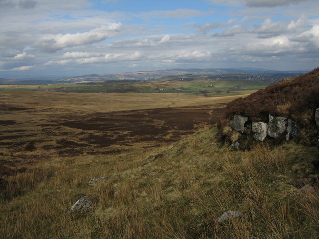
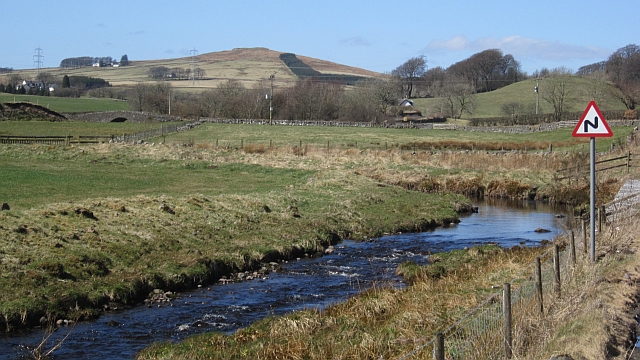
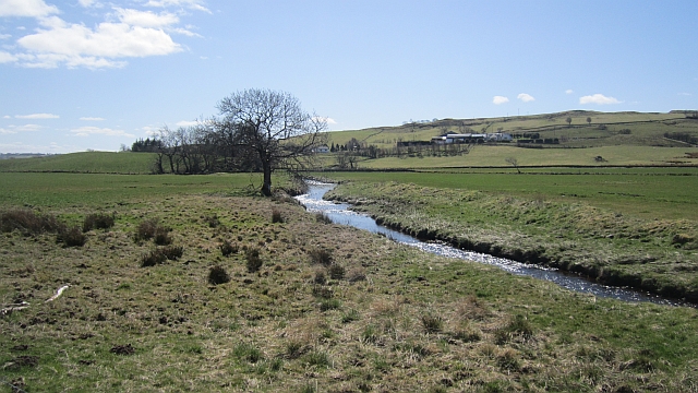
Hardridge Plantation is a scenic woodland located in Renfrewshire, Scotland. Covering an area of approximately 300 acres, it is known for its diverse range of flora and fauna, making it a popular destination for nature enthusiasts and hikers.
The plantation is primarily composed of a mixed broadleaf forest, with oak and beech trees dominating the landscape. These trees provide a dense canopy, creating a cool and peaceful atmosphere in the woodland. Additionally, there are patches of coniferous trees, such as Scots pine, spruce, and fir, adding to the overall biodiversity of the area.
The forest floor of Hardridge Plantation is adorned with a variety of wildflowers, including bluebells, primroses, and wood anemones, which bloom during the spring months, creating a vibrant and colorful display. The undergrowth is also home to ferns, mosses, and lichens, adding to the rich tapestry of the woodland ecosystem.
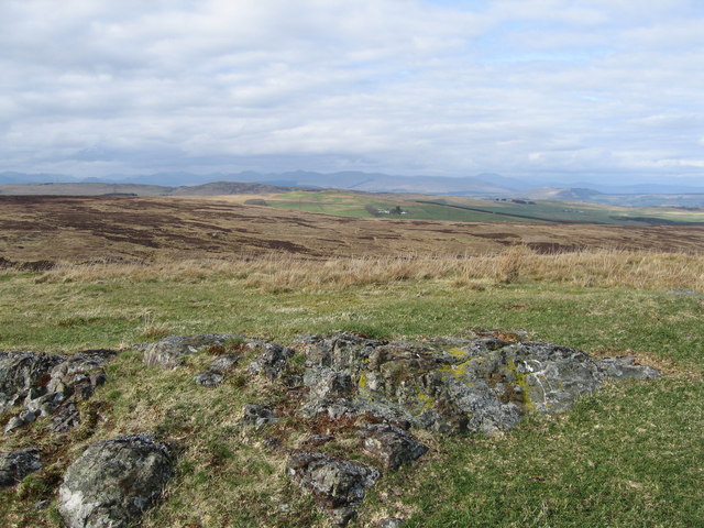
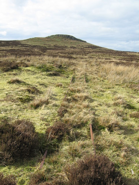
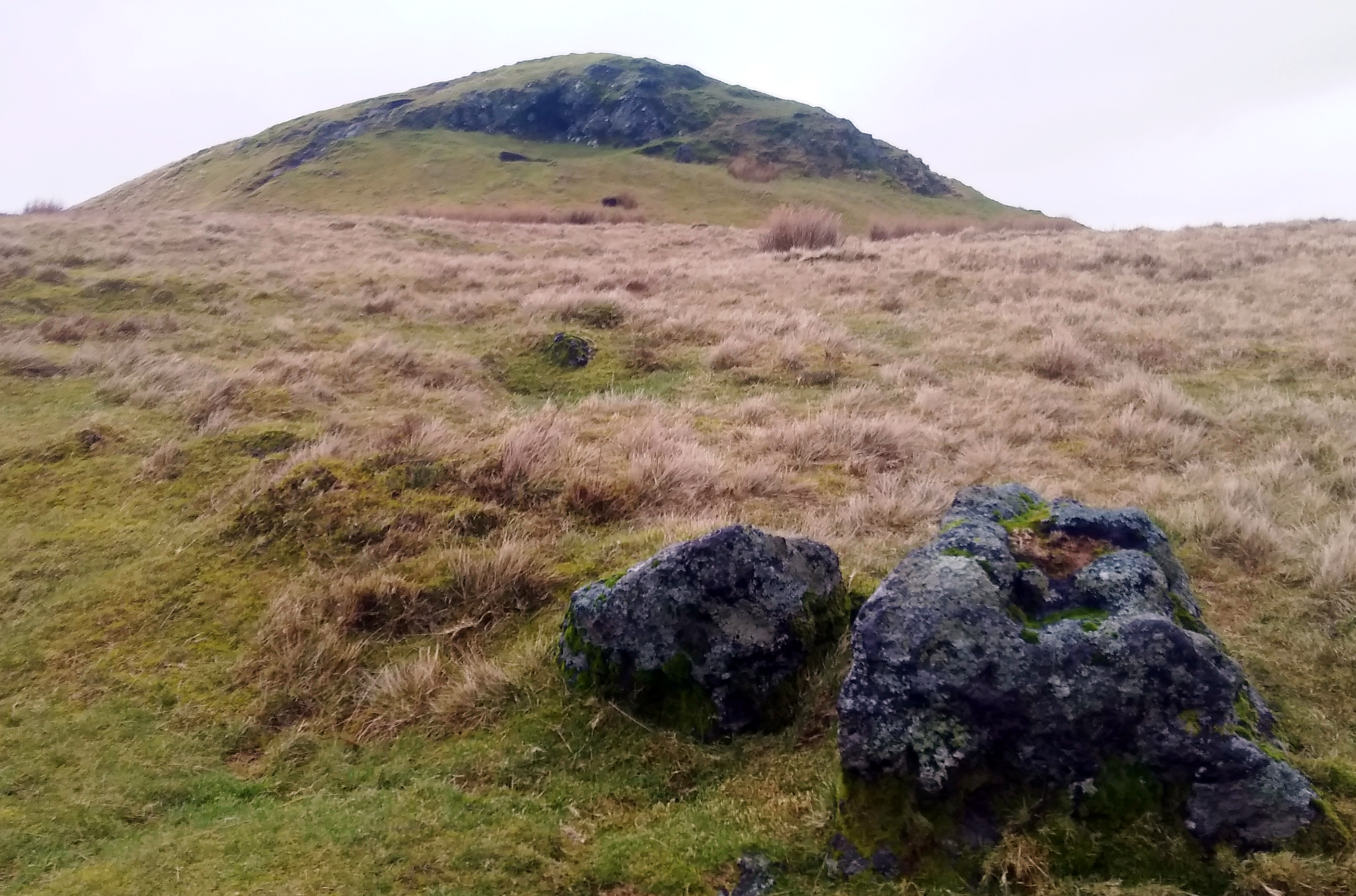
The plantation is crisscrossed with a network of well-maintained trails, allowing visitors to explore the area on foot or by bike. These paths offer stunning views of the surrounding countryside, including the nearby rolling hills and meandering rivers.
Hardridge Plantation is not only appreciated for its natural beauty but also for its wildlife. The woodland provides a habitat for various bird species, such as woodpeckers, owls, and thrushes, making it a birdwatcher's paradise. Other animals that can be spotted in the area include red squirrels, foxes, and deer.
Overall, Hardridge Plantation in Renfrewshire is a picturesque and biodiverse woodland, offering visitors the chance to immerse themselves in nature and enjoy the tranquility of the Scottish countryside.
If you have any feedback on the listing, please let us know in the comments section below.
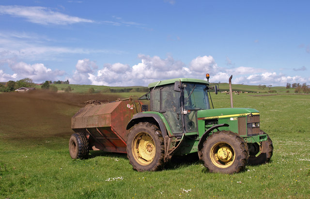
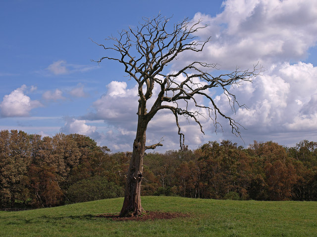
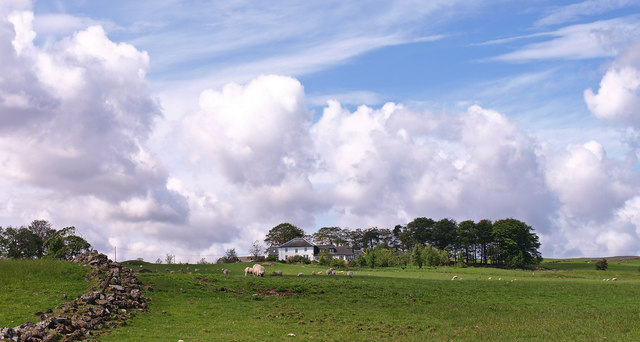
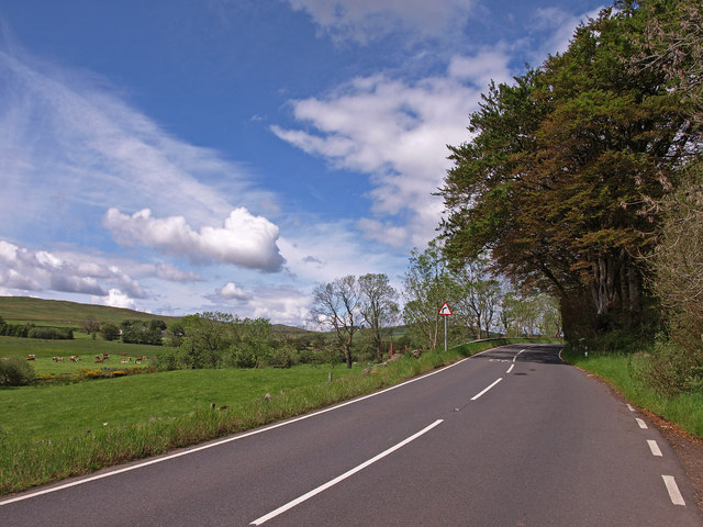
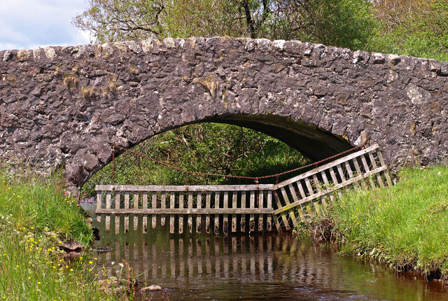
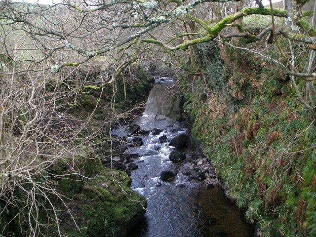
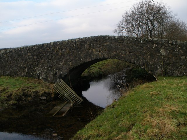
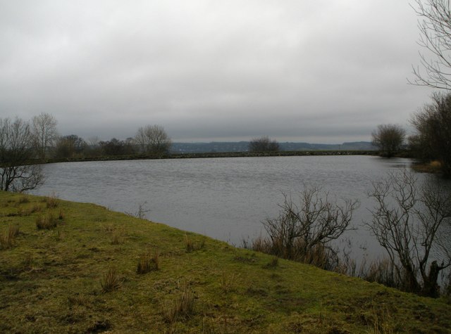
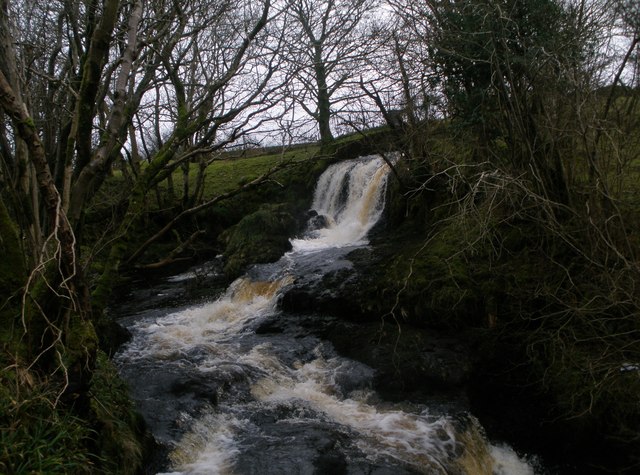
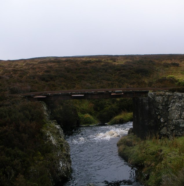
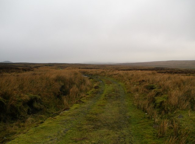
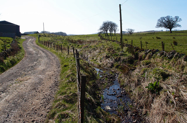
Hardridge Plantation Images
Images are sourced within 2km of 55.873783/-4.6923588 or Grid Reference NS3167. Thanks to Geograph Open Source API. All images are credited.
Hardridge Plantation is located at Grid Ref: NS3167 (Lat: 55.873783, Lng: -4.6923588)
Unitary Authority: Inverclyde
Police Authority: Renfrewshire and Inverclyde
What 3 Words
///slippers.taxpayers.pass. Near Kilmacolm, Inverclyde
Nearby Locations
Related Wikis

Duchal House
Duchal House is an 18th-century mansion and estate near Kilmacolm, Scotland. It is located in Inverclyde, in the former county of Renfrewshire. Duchal...
Windy Hill, Renfrewshire
Windy Hill is a 316 metres (1.037 feet) high hill in Renfrewshire, Scotland. It is one of the TuMPs of the Lowlands. == Geography == The hill is located...

St Columba's School, Kilmacolm
St Columba's School is a 3–18 mixed private day school in Kilmacolm, Inverclyde, Scotland. It is split across two sites and is a member of the Headmasters...

Kilmacolm railway station
Kilmacolm railway station was a railway station serving the village of Kilmacolm, in the current council area of Inverclyde and the historic county of...
Nearby Amenities
Located within 500m of 55.873783,-4.6923588Have you been to Hardridge Plantation?
Leave your review of Hardridge Plantation below (or comments, questions and feedback).