Tradunnock Wood

Wood, Forest in Ayrshire

Scotland

Tradunnock Wood

Winter sunset at Drumgirnan A late-January view looking down the Water of Girvan. The colours didn’t last long. We’ve been here before - <a href="https://www.geograph.org.uk/photo/594310">NS3004 : River Girvan At Drumgirnan</a> in October 2007 and <a href="https://www.geograph.org.uk/photo/1657435">NS3004 : Snowy Kilkerran</a> during the January 2010 Big Freeze.
Winter sunset at Drumgirnan Credit: Mary and Angus Hogg

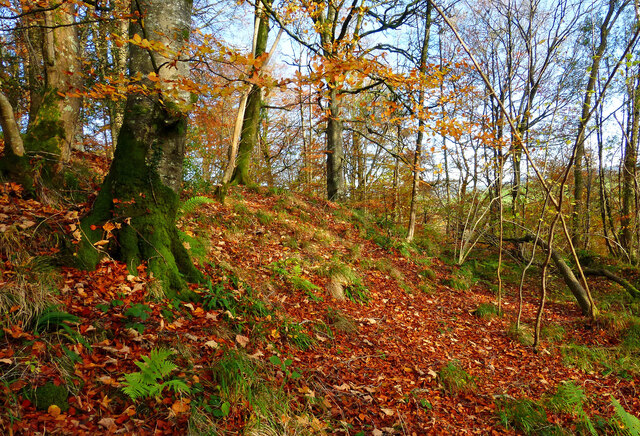
Tradunnock Wood is a beautiful forest located in Ayrshire, Scotland. Covering an area of approximately 100 acres, this woodland is known for its diverse range of flora and fauna. The wood is home to a variety of tree species, including oak, beech, and birch, creating a lush and vibrant landscape.

Visitors to Tradunnock Wood can explore a network of well-maintained trails that wind through the forest, providing opportunities for walking, hiking, and wildlife watching. Birdwatchers will delight in the chance to spot a wide array of bird species, including woodpeckers, robins, and thrushes.

The wood is also home to a number of small mammals, such as squirrels and rabbits, adding to the diversity of wildlife in the area. In the spring and summer months, the forest floor comes alive with colorful wildflowers, creating a picturesque setting for nature enthusiasts.

Overall, Tradunnock Wood offers a peaceful and serene escape from the hustle and bustle of everyday life, making it a popular destination for outdoor enthusiasts and nature lovers alike.

If you have any feedback on the listing, please let us know in the comments section below.

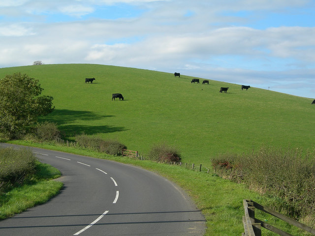
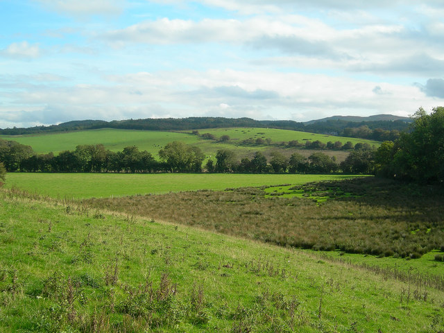
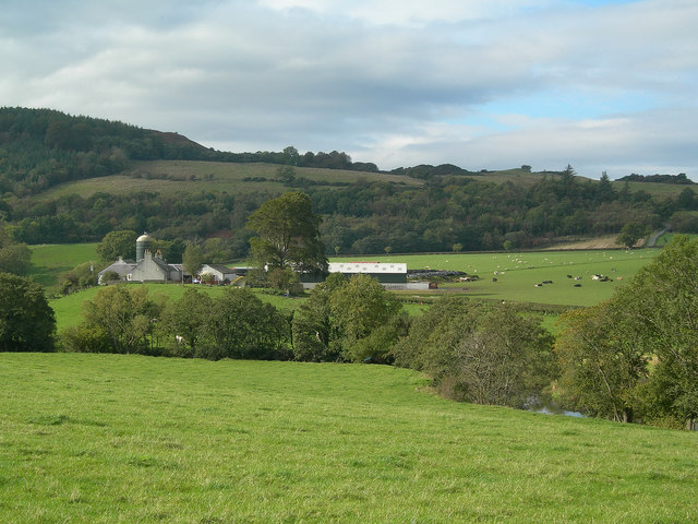
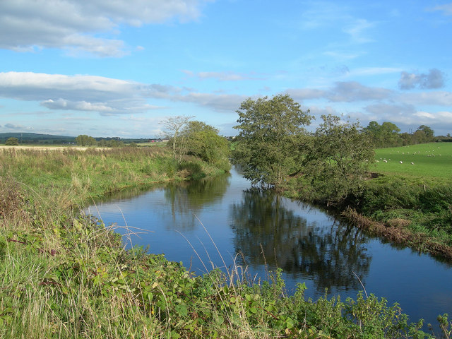
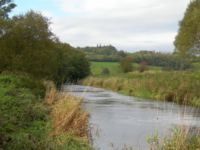
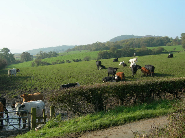
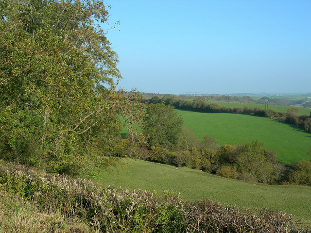
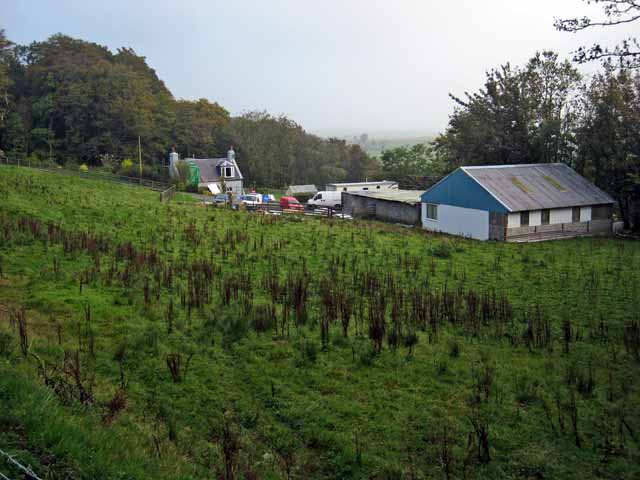
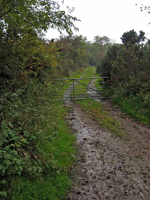
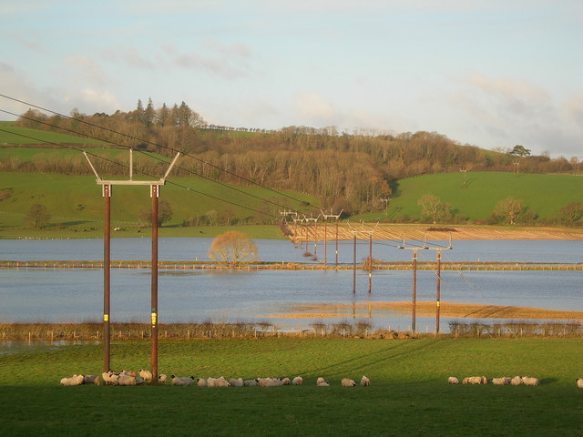
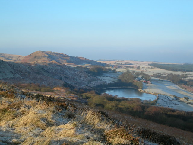
Tradunnock Wood Images

Images are sourced within 2km of 55.31061/-4.6761419 or Grid Reference NS3005. Thanks to Geograph Open Source API. All images are credited.

Winter sunset at Drumgirnan A late-January view looking down the Water of Girvan. The colours didn’t last long. We’ve been here before - <a href="https://www.geograph.org.uk/photo/594310">NS3004 : River Girvan At Drumgirnan</a> in October 2007 and <a href="https://www.geograph.org.uk/photo/1657435">NS3004 : Snowy Kilkerran</a> during the January 2010 Big Freeze.
Winter sunset at Drumgirnan
A late-January view looking down the Water of Girvan. The colours didn’t last long. We’ve been here before - NS3004 : River Girvan At Drumgirnan in October 2007 and NS3004 : Snowy Kilkerran during the January 2010 Big Freeze.
Autumn in Tradunnock Wood Autumn colours were showing well in Tradunnock Wood on this November visit. The wood was planted during the 18th century as part of the agricultural improvements. For a springtime view see <a href="https://www.geograph.org.uk/photo/6459539">NS3005 : In Tradunnock beechwood</a>
Autumn in Tradunnock Wood
Autumn colours were showing well in Tradunnock Wood on this November visit. The wood was planted during the 18th century as part of the agricultural improvements. For a springtime view see NS3005 : In Tradunnock beechwood
Barcully sky The promise of a fine winter sunset didn’t live up to expectation with the colours fading shortly after this shot was taken.
Barcully sky
The promise of a fine winter sunset didn’t live up to expectation with the colours fading shortly after this shot was taken.
Grazing Cattle Beef cattle grazing on rich farmland near Crosshill.  The rolling landscape was formed by drumlins, deposited during the last Ice Age.
Grazing Cattle
Beef cattle grazing on rich farmland near Crosshill. The rolling landscape was formed by drumlins, deposited during the last Ice Age.
View from Rowanston Looking SE from Rowanston Farm, showing low-lying marshy ground and rich farmland
View from Rowanston
Looking SE from Rowanston Farm, showing low-lying marshy ground and rich farmland
Dog Training Sheep dog training at Rowanston Farm, near Crosshill
Dog Training
Sheep dog training at Rowanston Farm, near Crosshill
Carsloe Farm Carsloe Farm and the Water of Girvan, with Craigfin Hill in the background
Carsloe Farm
Carsloe Farm and the Water of Girvan, with Craigfin Hill in the background
Water of Girvan Looking NE from the bend of the river just above the footbridge at Carsloe Farm
Water of Girvan
Looking NE from the bend of the river just above the footbridge at Carsloe Farm
Water of Girvan Looking NW from the big bend of the river between Carsloe and Kileekie
Water of Girvan
Looking NW from the big bend of the river between Carsloe and Kileekie
Beef Cattle Beef cattle in a field with a muddy entrance.  Craigfin Hill in the distance
Beef Cattle
Beef cattle in a field with a muddy entrance. Craigfin Hill in the distance
View from the High Road Farmland beside the High Road between Maybole and Dailly
View from the High Road
Farmland beside the High Road between Maybole and Dailly
Girvan valley Looking from the B741 Girvan to Maybole road towards Kilkerran House.
Girvan valley
Looking from the B741 Girvan to Maybole road towards Kilkerran House.
Grass runway on the Kilkerran estate Beside the Water of Girvan
Grass runway on the Kilkerran estate
Beside the Water of Girvan
Black Glen
Black Glen
Farm road to Craigfin Off the High Road from Maybole to Dailly
Farm road to Craigfin
Off the High Road from Maybole to Dailly
Lodge and entrance to Kilkerran Estate Some fine specimen trees in the park.
Lodge and entrance to Kilkerran Estate
Some fine specimen trees in the park.
Country road at Ladyburn, Kilkerran
Flood Plain at Kileekie The Water of Girvan, flowing from right to left in this photograph, has spilled over its embankments to fill the adjacent fields.  This is a common occurrence during the winter months.  The power lines carry electricity generated at the new wind farm on Hadyard Hill.
Flood Plain at Kileekie
The Water of Girvan, flowing from right to left in this photograph, has spilled over its embankments to fill the adjacent fields. This is a common occurrence during the winter months. The power lines carry electricity generated at the new wind farm on Hadyard Hill.
Show me another place!

Tradunnock Wood is located at Grid Ref: NS3005 (Lat: 55.31061, Lng: -4.6761419)

Unitary Authority: South Ayrshire

Police Authority: Ayrshire

What 3 Words

///motivates.lazy.chimp. Near Maybole, South Ayrshire

Related Wikis

Kilkerran railway station

Kilkerran railway station served an area of rural Ayrshire, Scotland from 1860 to 1965 on the Maybole and Girvan Railway. == History == The station opened...

Lochspouts

Lochspouts Loch (NS 2885 0586) or Lochspouts was situated in a hollow, surrounded by hilly ground on three sides and bounded by a narrow trap dyke to the...

Kilkerran House

Kilkerran House is an 18th-century private house near Maybole, Ayrshire, Scotland. It is a category A listed building set within grounds included in the...

Crosshill railway station (Ayr)

Crosshill railway station served the village of Crosshill, South Ayrshire, Scotland, from 1860 to 1862 on the Maybole and Girvan Railway. == History... ==

Nearby Amenities

Located within 500m of 55.31061,-4.6761419
Power: pole
Lat/Long: 55.3146603/-4.6739451
Power: pole
Lat/Long: 55.3147973/-4.6744479
The data included in this document is from www.openstreetmap.org. The data is made available under ODbL.

Have you been to Tradunnock Wood?

Leave your review of Tradunnock Wood below (or comments, questions and feedback).