Girdlehill Plantation
Wood, Forest in Ayrshire
Scotland
Girdlehill Plantation
Girdlehill Plantation is a sprawling woodland area located in Ayrshire, Scotland. Covering an extensive area of approximately 500 acres, it is nestled amidst the picturesque countryside, offering a tranquil and serene environment for visitors to explore.
The plantation is primarily composed of a diverse range of tree species, including oak, birch, beech, and pine, creating a rich and vibrant ecosystem. The lush greenery and dense canopy provide a habitat for a variety of wildlife, making it a popular destination for nature enthusiasts and birdwatchers.
Traversing through Girdlehill Plantation, visitors can find a network of well-maintained trails, allowing them to immerse themselves in the natural beauty of the surroundings. These paths cater to different levels of difficulty, accommodating both casual walkers and more adventurous hikers. Along the way, walkers may encounter small streams, wildflowers, and occasional wildlife sightings, adding to the charm of the experience.
In addition to its natural attractions, Girdlehill Plantation also boasts several picnic spots and recreational areas, making it an ideal destination for families and groups. These facilities include designated picnic areas, benches, and open spaces for outdoor activities such as frisbee or ball games.
Overall, Girdlehill Plantation in Ayrshire offers a delightful escape from the hustle and bustle of everyday life. With its stunning woodland scenery, diverse wildlife, and well-maintained trails, it provides a perfect setting for individuals seeking solace in nature or engaging in outdoor activities.
If you have any feedback on the listing, please let us know in the comments section below.
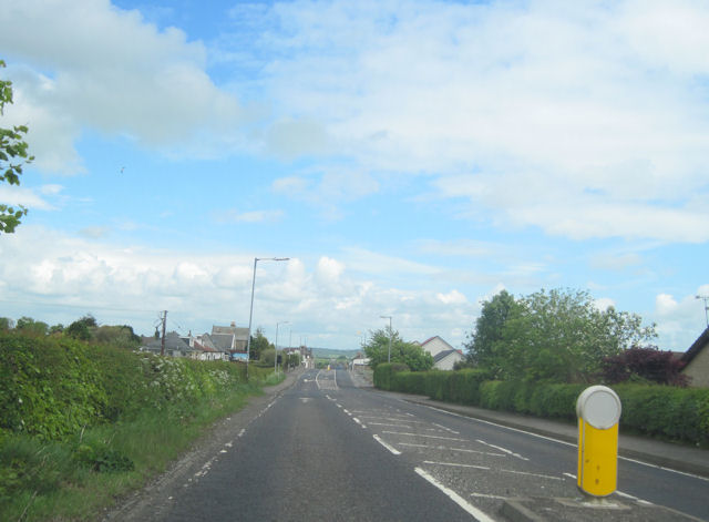
Girdlehill Plantation Images
Images are sourced within 2km of 55.758359/-4.7197834 or Grid Reference NS2955. Thanks to Geograph Open Source API. All images are credited.


Girdlehill Plantation is located at Grid Ref: NS2955 (Lat: 55.758359, Lng: -4.7197834)
Unitary Authority: North Ayrshire
Police Authority: Ayrshire
What 3 Words
///sprays.sheds.vivid. Near Kilbirnie, North Ayrshire
Nearby Locations
Related Wikis

Kilbirnie
Kilbirnie (Scottish Gaelic: Cill Bhraonaigh) is a small town of 7,280 (as of 2001) inhabitants situated in the Garnock Valley area of North Ayrshire, on...
Walker Memorial Hall, Kilbirnie
The Walker Memorial Hall is a municipal building in Main Street, Kilbirnie, North Ayrshire, Scotland. The structure is currently used as the offices for...

Kilbirnie South railway station
Kilbirnie South railway station was a railway station serving the town of Kilbirnie, North Ayrshire, Scotland as part of the Lanarkshire and Ayrshire Railway...
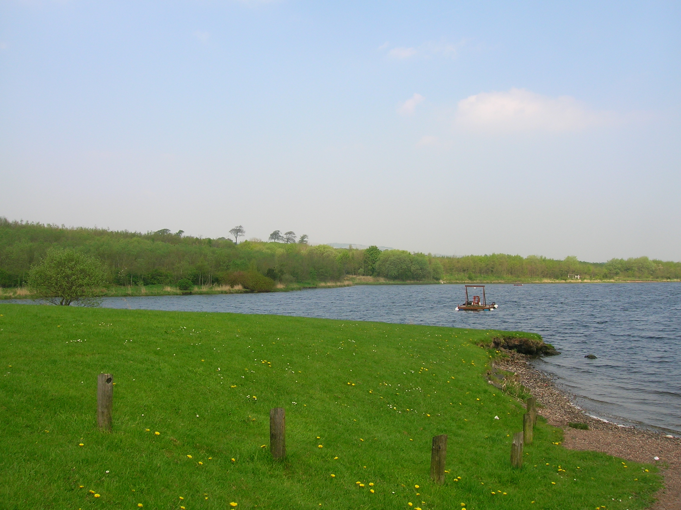
Kilbirnie Loch
Kilbirnie Loch (NS 330 543) is a freshwater Loch situated in the floodplain between Kilbirnie, Glengarnock and Beith, North Ayrshire, Scotland. It runs...
Nearby Amenities
Located within 500m of 55.758359,-4.7197834Have you been to Girdlehill Plantation?
Leave your review of Girdlehill Plantation below (or comments, questions and feedback).