Black Wood
Wood, Forest in Ayrshire
Scotland
Black Wood
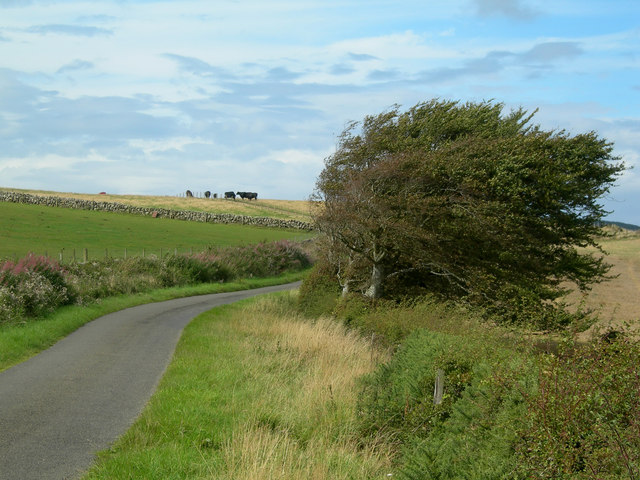
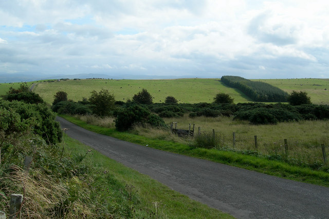
Black Wood is a dense forest located in the picturesque region of Ayrshire, Scotland. Spread across a sprawling area, it is a significant natural landmark known for its rich biodiversity and stunning natural beauty. The forest is situated near the village of Straiton, nestled in the Southern Uplands.
The wood is predominantly composed of ancient oak trees, giving it a distinctive dark appearance, hence the name "Black Wood." These old oaks, some dating back centuries, create a dense canopy that provides shelter to a variety of flora and fauna. The forest floor is covered with a carpet of lush ferns, mosses, and wildflowers, enhancing its enchanting ambiance.
Black Wood is home to a diverse range of wildlife species. Visitors may spot red squirrels, roe deer, and a wide variety of bird species during their exploration. The forest is also known for its rich birdlife, with the presence of woodpeckers, owls, and various songbirds.
The wood offers numerous walking trails and hiking paths, allowing visitors to immerse themselves in the tranquility of nature. These well-maintained paths wind through the forest, offering breathtaking views of the surrounding landscape. The forest is a popular destination for nature enthusiasts, photographers, and those seeking a peaceful retreat away from the bustling city life.
Black Wood, Ayrshire, holds a special place in the hearts of locals and tourists alike, serving as a sanctuary for both nature and humans. Its ancient oaks, diverse flora and fauna, and serene atmosphere make it a must-visit destination for anyone seeking to connect with Scotland's natural wonders.
If you have any feedback on the listing, please let us know in the comments section below.
Black Wood Images
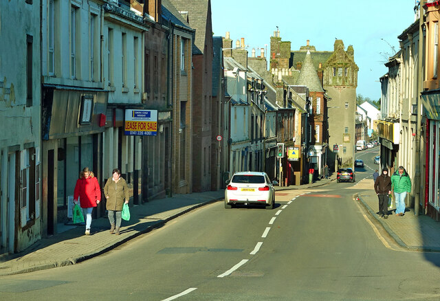
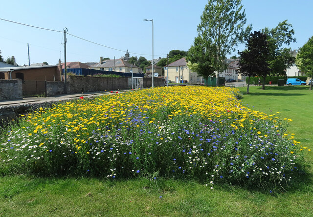
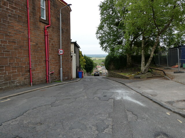
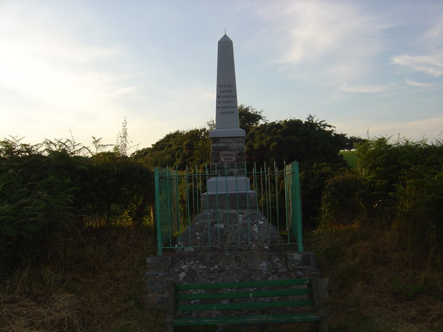
Images are sourced within 2km of 55.360838/-4.7056642 or Grid Reference NS2810. Thanks to Geograph Open Source API. All images are credited.


Black Wood is located at Grid Ref: NS2810 (Lat: 55.360838, Lng: -4.7056642)
Unitary Authority: South Ayrshire
Police Authority: Ayrshire
What 3 Words
///punt.motivate.cello. Near Maybole, South Ayrshire
Nearby Locations
Related Wikis

A77 road
The A77 road is a major road in Scotland. It runs in a southwesterly direction from the city of Glasgow, past the towns of Giffnock, Newton Mearns, Kilmarnock...

Carrick Academy
Carrick Academy (Scottish Gaelic: Acadamaidh Charraig) is a state-run secondary school, administered by South Ayrshire Council and situated in the Maybole...

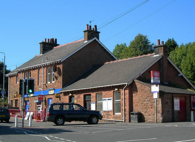
Maybole railway station
Maybole railway station is a railway station serving the town of Maybole, South Ayrshire, Scotland. The station is owned by Network Rail and managed by...

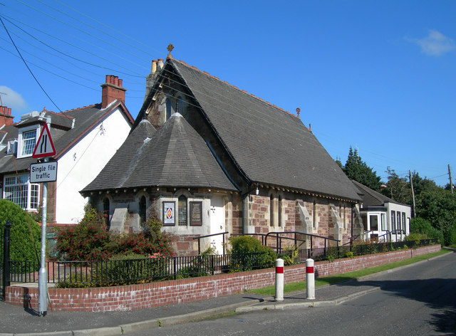
St Oswald's Church, Maybole
St Oswald's Church is a congregation of the Scottish Episcopal Church located in Maybole, Ayrshire, Scotland. The current Priest-in-Charge is The Rev....
Nearby Amenities
Located within 500m of 55.360838,-4.7056642Have you been to Black Wood?
Leave your review of Black Wood below (or comments, questions and feedback).