Achanalt Plantation
Wood, Forest in Ross-shire
Scotland
Achanalt Plantation
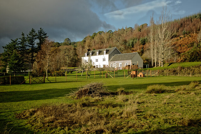
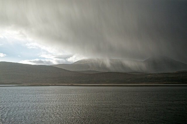
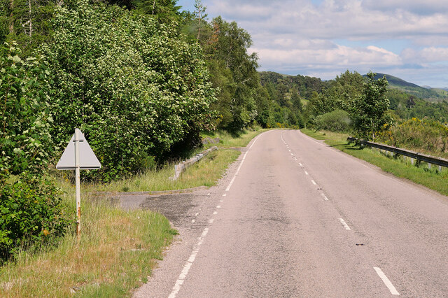
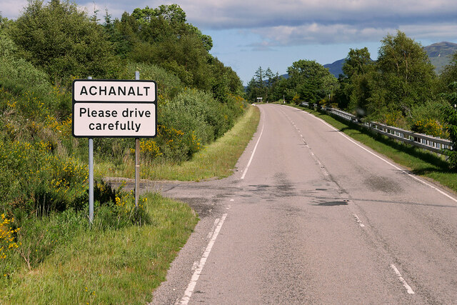
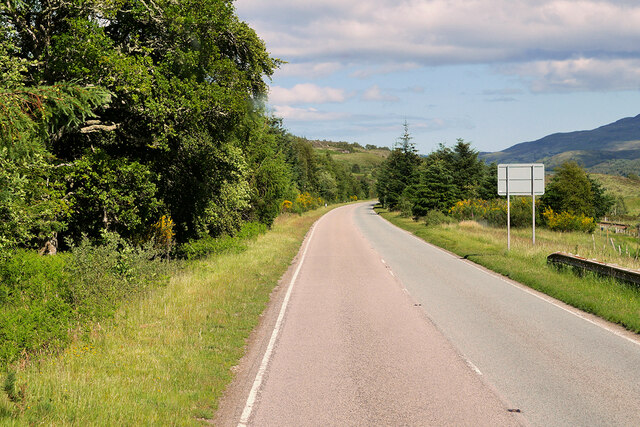
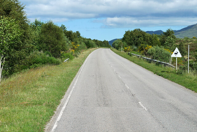
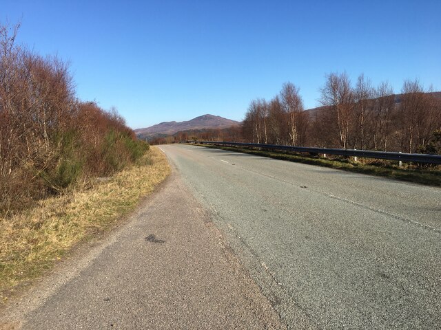
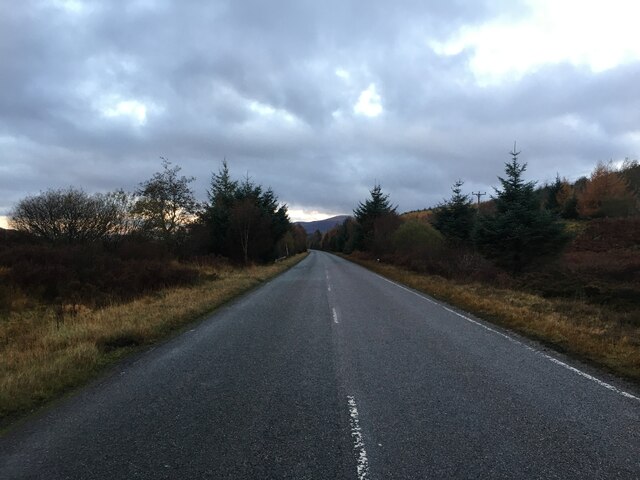
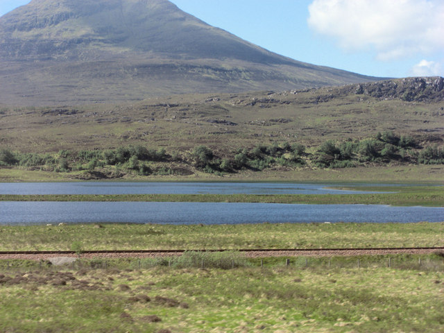
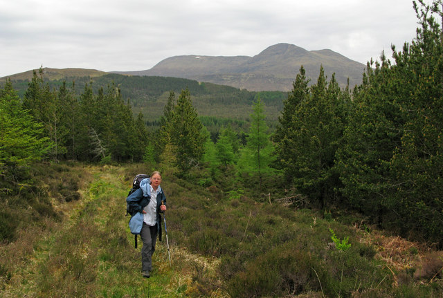
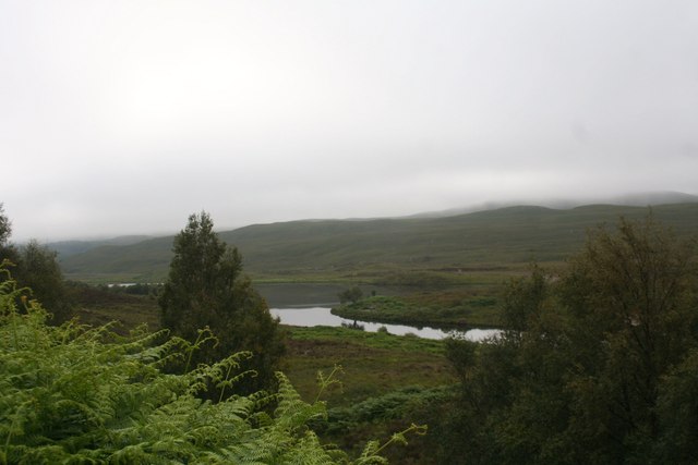
Achanalt Plantation is a sprawling woodland located in Ross-shire, Scotland. Spanning over a vast area, the plantation is known for its dense forest and diverse range of tree species. It is situated near the village of Achanalt, providing a picturesque setting for nature enthusiasts and outdoor lovers.
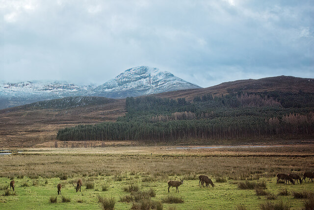
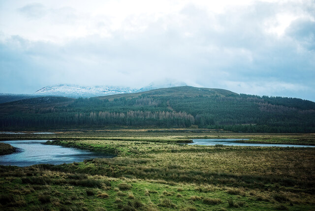
The plantation is primarily composed of coniferous trees, including Scots pine, Sitka spruce, and Douglas fir. These trees have been carefully cultivated and managed, resulting in a well-maintained and healthy woodland. The dense forest cover provides valuable habitat for a variety of wildlife, including deer, squirrels, and numerous bird species.
Achanalt Plantation offers a range of recreational activities for visitors. There are well-maintained paths and trails that allow for pleasant walks and hikes through the woodland. The plantation also features picnic areas, providing a perfect spot for families and groups to enjoy a day out in nature.
The woodland is managed by the Forestry and Land Scotland, ensuring the preservation and sustainability of the plantation. The organization implements responsible forestry practices, balancing the needs of the environment with the demands of the timber industry.
Achanalt Plantation is not only a haven for wildlife but also plays an important role in carbon sequestration, helping to mitigate climate change. The dense forest acts as a carbon sink, absorbing and storing large amounts of carbon dioxide from the atmosphere.
Overall, Achanalt Plantation is a valuable and well-maintained woodland in Ross-shire, offering a peaceful escape into nature while also contributing to environmental conservation efforts.
If you have any feedback on the listing, please let us know in the comments section below.
Achanalt Plantation Images
Images are sourced within 2km of 57.612397/-4.9104082 or Grid Reference NH2661. Thanks to Geograph Open Source API. All images are credited.
Achanalt Plantation is located at Grid Ref: NH2661 (Lat: 57.612397, Lng: -4.9104082)
Unitary Authority: Highland
Police Authority: Highlands and Islands
What 3 Words
///sleepy.retaliate.protects. Near Achnasheen, Highland
Nearby Locations
Related Wikis

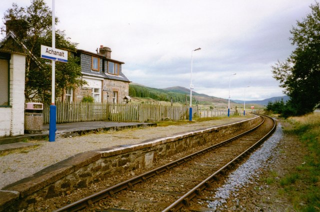
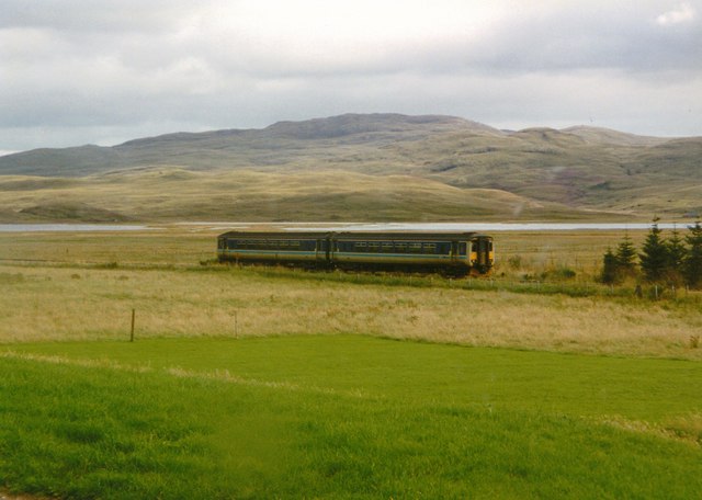
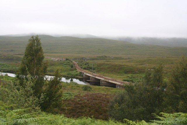
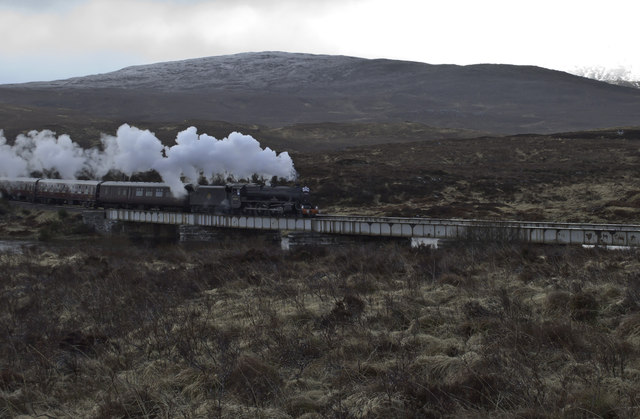
Achanalt railway station
Achanalt railway station is a geographically remote railway station on the Kyle of Lochalsh Line, serving the village of Achanalt in the north of Scotland...
Achanalt
Achanalt (Gaelic: Achadh nan Allt) is a railway halt in Strath Bran, Ross and Cromarty, in the Scottish council area of Highland. It is served by a railway...

Grudie
Grudie (Grùididh in Scottish Gaelic) is a village, situated between Loch a' Chuilinn and Loch Luichart with the River Bran flowing past Grudie east to...
Sgurr a' Mhuilinn
Sgurr a' Mhuilinn (879 m) is a mountain in Highland, Scotland. It lies in a remote location in the Northwest Highlands, approximately 40 miles (64 km)...
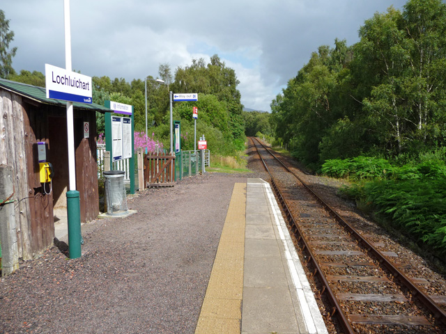
Lochluichart railway station
Lochluichart railway station is a railway station on the Kyle of Lochalsh Line, serving the village of Lochluichart in the north of Scotland. The station...

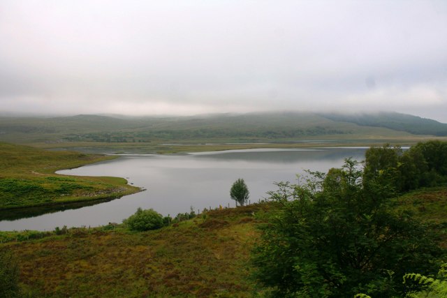
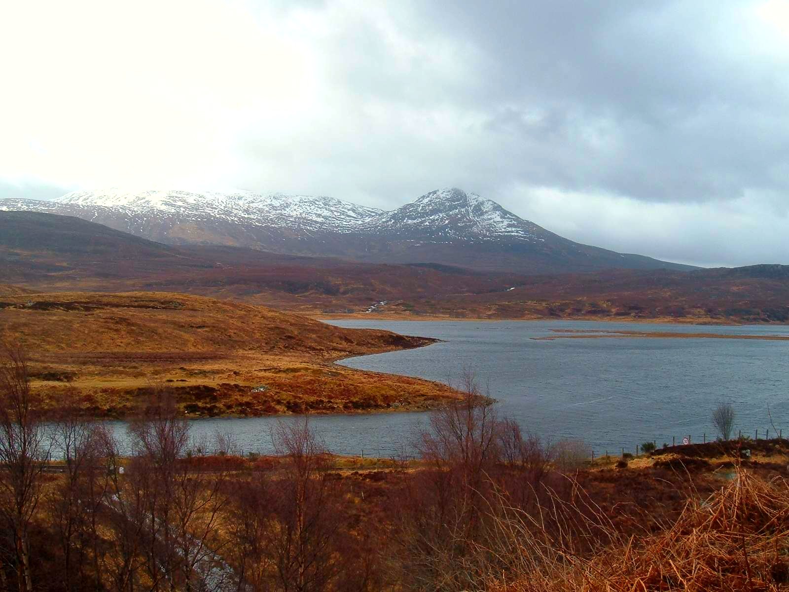
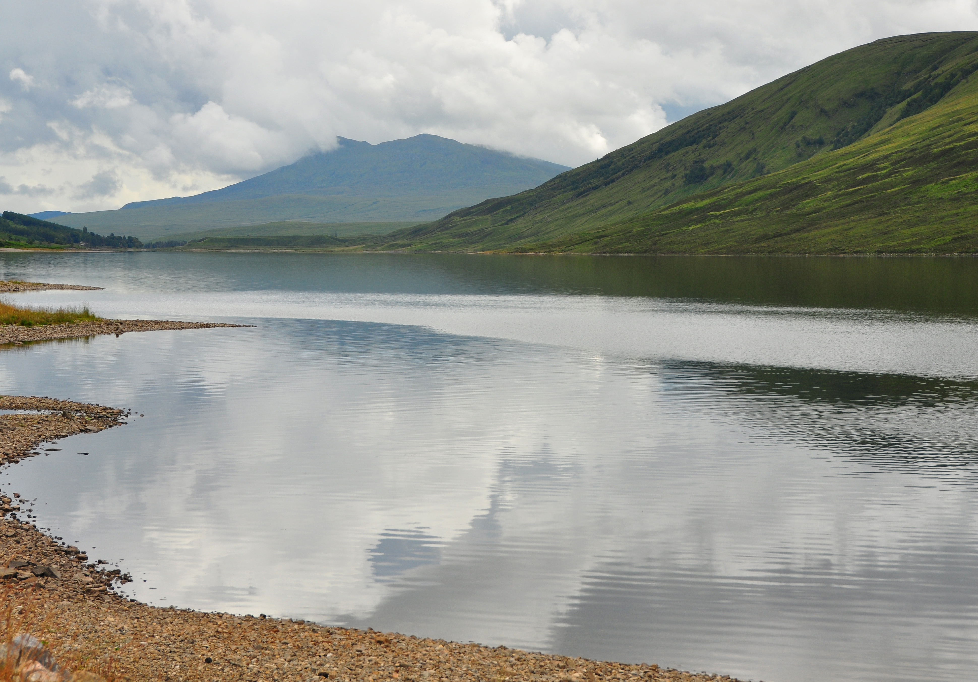
Loch Fannich
Loch Fannich is a remote loch in Ross-shire, in Scotland. The loch is located 19 kilometres (12 mi) west of Strathpeffer. == Etymology == The name Fannich...

Ross and Cromarty
Ross and Cromarty (Scottish Gaelic: Ros agus Cromba), also referred to as Ross-shire and Cromartyshire, is a variously defined area in the Highlands and...
Nearby Amenities
Located within 500m of 57.612397,-4.9104082Have you been to Achanalt Plantation?
Leave your review of Achanalt Plantation below (or comments, questions and feedback).