Kilgrammie Plantation
Wood, Forest in Ayrshire
Scotland
Kilgrammie Plantation
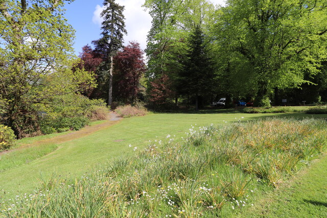
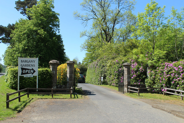
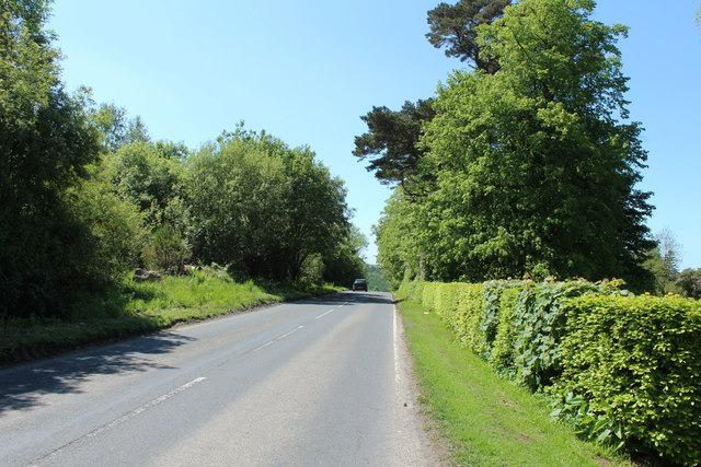
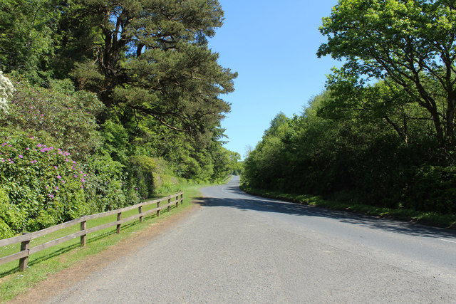
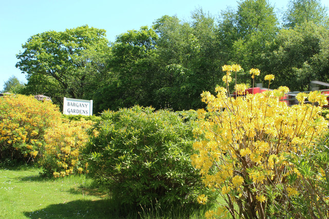
Kilgrammie Plantation is located in Ayrshire, Scotland, and is a renowned woodland area known for its natural beauty and diverse ecosystem. Spanning over several acres, this plantation is characterized by its dense forest cover, comprising various species of trees and vegetation.
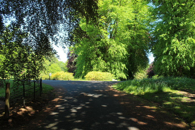
The woodland of Kilgrammie Plantation is predominantly made up of native species, including oak, beech, birch, and Scots pine. These trees provide a habitat for a wide range of wildlife, making the plantation a haven for nature enthusiasts and birdwatchers. The plantation is home to numerous bird species, such as woodpeckers, owls, and various songbirds.
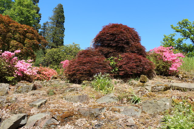
The forest floor of Kilgrammie Plantation is adorned with a rich carpet of mosses, ferns, and wildflowers, adding to its visual appeal. The understory also supports a diverse array of woodland plants, including bluebells, primroses, and foxgloves, which bloom in vibrant colors during the spring and summer months.
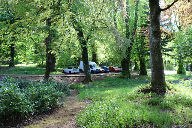
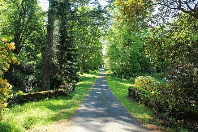
In addition to its natural beauty, Kilgrammie Plantation also offers recreational opportunities for visitors. Numerous walking trails wind their way through the woodland, allowing visitors to explore and immerse themselves in the tranquility of nature. These trails provide an excellent opportunity to spot wildlife and enjoy the peaceful surroundings.
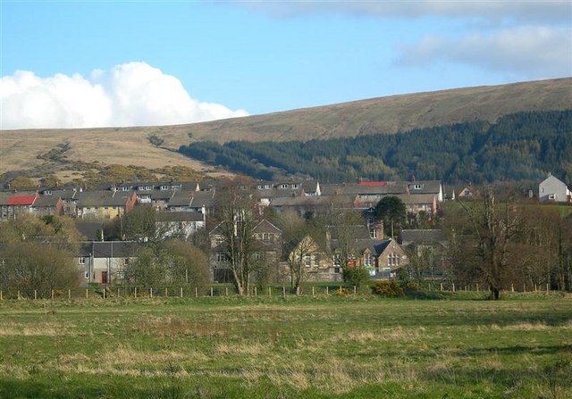
Due to its ecological significance, Kilgrammie Plantation is protected and managed by local authorities to ensure its preservation for future generations. It serves as an important green space within Ayrshire, contributing to the overall biodiversity of the region and offering a peaceful retreat for both locals and tourists alike.
If you have any feedback on the listing, please let us know in the comments section below.
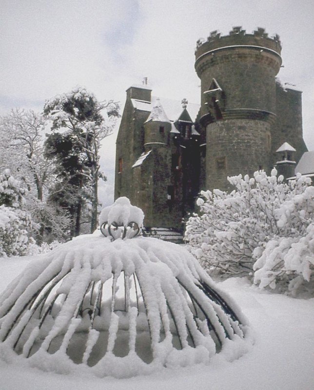
Kilgrammie Plantation Images
Images are sourced within 2km of 55.278931/-4.7589529 or Grid Reference NS2401. Thanks to Geograph Open Source API. All images are credited.


Kilgrammie Plantation is located at Grid Ref: NS2401 (Lat: 55.278931, Lng: -4.7589529)
Unitary Authority: South Ayrshire
Police Authority: Ayrshire
What 3 Words
///comedy.baker.finishing. Near Girvan, South Ayrshire
Nearby Locations
Related Wikis

Dailly railway station
Dailly railway station served the village of Dailly, South Ayrshire, Scotland, from 1860 to 1965 on the Maybole and Girvan Railway. == History == The station...
Dailly
Dailly (Scottish Gaelic: Dail Mhaol Chiarain) is a village in South Ayrshire, Scotland. It is located on the Water of Girvan, five miles (eight kilometres...

Dalquharran Castle
Dalquharran Castle is a category A listed building in South Ayrshire, Scotland, designed by Robert Adam and completed around 1790. The first recorded lord...

Killochan Castle
Killochan Castle is a 16th-century L-plan tower house about 3 miles (4.8 km) north east of Girvan, South Ayrshire, Scotland, north of the Water of Girvan...

Killochan railway station
Killochan railway station was located in a rural part of South Ayrshire, Scotland and mainly served the nearby Killochan Castle estate. The Killochan bank...
Penkill Castle
Penkill Castle is a 16th-century castle with later additions. It is around 1⁄2 mile (800 metres) south of Old Dailly, northeast of Girvan in south Ayrshire...

South Ayrshire
South Ayrshire (Scots: Sooth Ayrshire; Scottish Gaelic: Siorrachd Àir a Deas, pronounced [ˈʃirˠəxk aːɾʲ ə ˈtʲes̪]) is one of thirty-two council areas of...
Old Dailly
Old Dailly is a hamlet in South Ayrshire, Scotland. It is located west of Dailly (or "New Dailly"). The Charter or Blue stones of Old Dailly in Ayrshire...
Nearby Amenities
Located within 500m of 55.278931,-4.7589529Have you been to Kilgrammie Plantation?
Leave your review of Kilgrammie Plantation below (or comments, questions and feedback).