Dail nam Bòrd
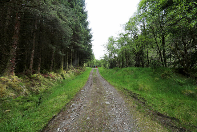
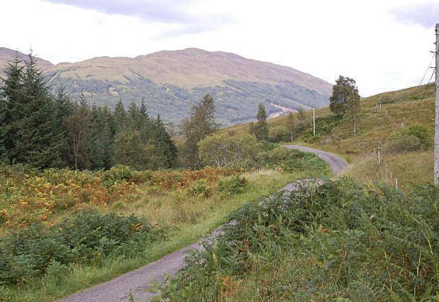
Wood, Forest in Argyllshire
Scotland
Dail nam Bòrd

Dail nam Bòrd, located in Argyllshire, Scotland, is a picturesque wood or forest known for its natural beauty and rich biodiversity. Covering an area of approximately 200 acres, this enchanting woodland is a haven for nature enthusiasts and those seeking tranquility amidst stunning landscapes.
Dail nam Bòrd is characterized by its towering ancient trees, including oak, birch, and pine, which create a dense canopy that allows limited sunlight to penetrate the forest floor. This unique ecosystem provides a habitat for a diverse range of flora and fauna, making it a thriving ecosystem. Visitors can expect to encounter various species of woodland plants, such as bluebells, ferns, and mosses, adding an ethereal charm to the forest.
The wood is also home to a wide array of wildlife, including red squirrels, badgers, and deer. Birdwatchers will delight in the opportunity to spot species like woodpeckers, owls, and thrushes, as they flit among the branches or serenade visitors with their melodious songs.
For those seeking outdoor adventure, Dail nam Bòrd offers a network of walking trails that wind through its enchanting landscape. These well-maintained paths cater to different levels of difficulty, ensuring that visitors of all ages and abilities can explore the wood at their own pace. The forest also features picnic areas and viewpoints, allowing visitors to pause, take in the breathtaking surroundings, and enjoy a peaceful moment of reflection.
Overall, Dail nam Bòrd in Argyllshire is a captivating wood that encapsulates the natural beauty and tranquility of the Scottish countryside. Whether for a leisurely stroll, wildlife observation, or simply to immerse oneself in nature, this enchanting forest offers a truly memorable experience for all who visit.
If you have any feedback on the listing, please let us know in the comments section below.
Dail nam Bòrd Images
Images are sourced within 2km of 56.458385/-4.8508594 or Grid Reference NN2433. Thanks to Geograph Open Source API. All images are credited.


Dail nam Bòrd is located at Grid Ref: NN2433 (Lat: 56.458385, Lng: -4.8508594)
Unitary Authority: Argyll and Bute
Police Authority: Argyll and West Dunbartonshire
What 3 Words
///satin.forced.unsettled. Near Tyndrum, Stirling
Nearby Locations
Related Wikis
Glen Orchy
Glen Orchy (Scottish Gaelic: Gleann Urchaidh) is a glen in Argyll and Bute, Scotland. It runs from Bridge of Orchy to Dalmally. == Geography == Glen Orchy...

Beinn Udlaidh
Beinn Udlaidh (840 m) is a mountain in the Grampian Mountains, Scotland. It is located near the village of Tyndrum in Argyll and Bute. The mountain has...

Beinn Mhic-Mhonaidh
Beinn Mhic-Mhonaidh (796 m) is a mountain in the Grampian Mountains of Scotland, west of Glen Orchy in Argyll and Bute. Climbs usually start from the Eas...

Beinn Chùirn
Beinn Chùirn is a hill five kilometres (3.1 miles) west-south-west of Tyndrum, Scotland, standing on the border of Stirlingshire and Perthshire at the...
Nearby Amenities
Located within 500m of 56.458385,-4.8508594Have you been to Dail nam Bòrd?
Leave your review of Dail nam Bòrd below (or comments, questions and feedback).