Berryknowes Plantation
Wood, Forest in Ayrshire
Scotland
Berryknowes Plantation
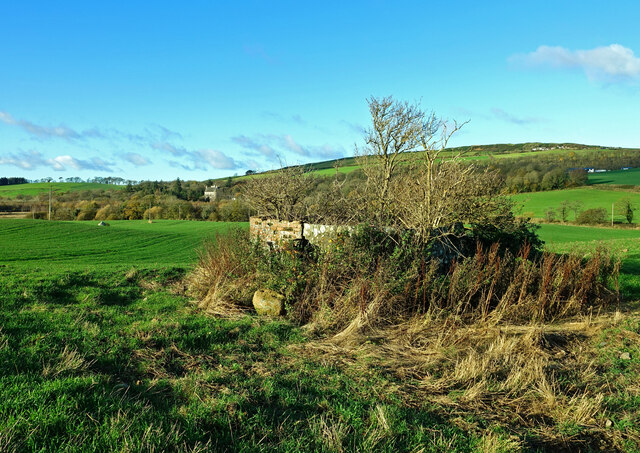
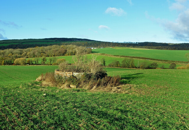
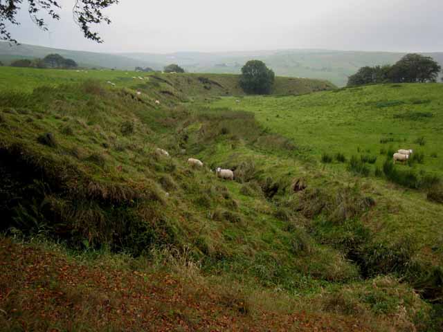
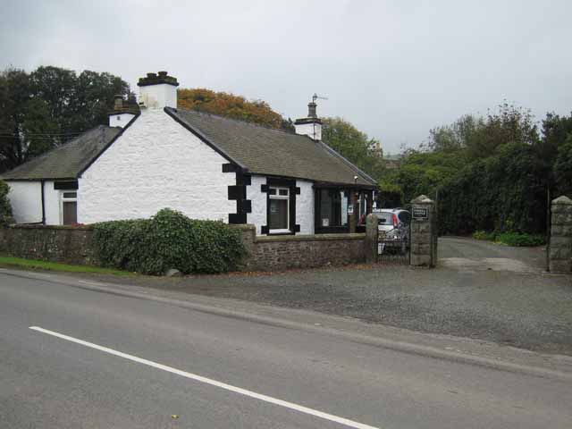
Berryknowes Plantation is a picturesque woodland located in Ayrshire, Scotland. Covering an area of approximately 100 acres, this ancient forest boasts a diverse range of flora and fauna, making it an ideal destination for nature enthusiasts and hikers alike.
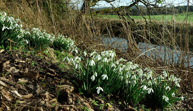
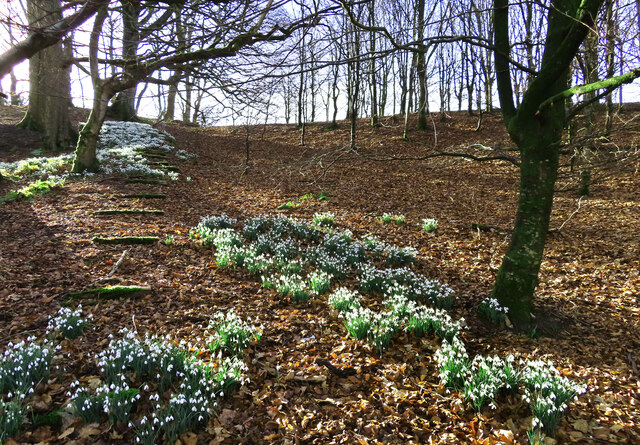
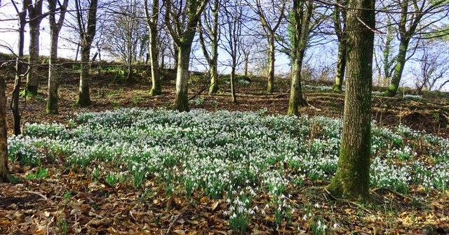
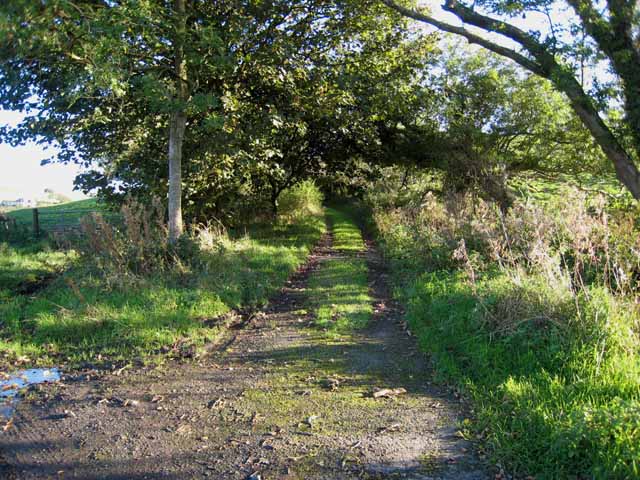
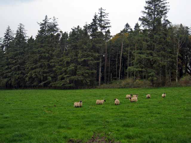
The woodland is primarily composed of broadleaf trees, including oak, beech, and birch, which create a dense canopy overhead, providing shelter and habitat for a variety of wildlife. The forest floor is adorned with a carpet of bluebells during the springtime, adding a burst of color to the surroundings.
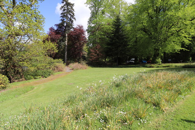
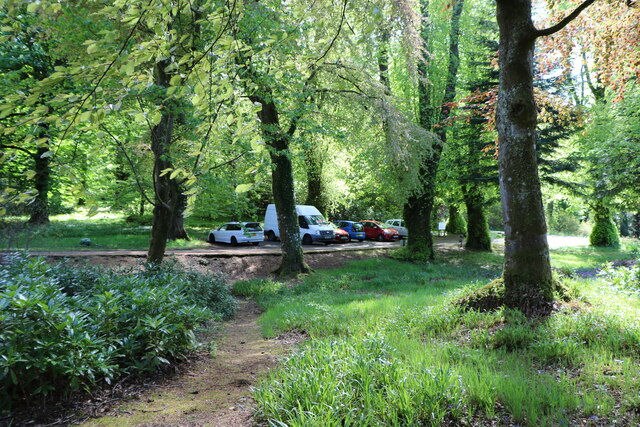
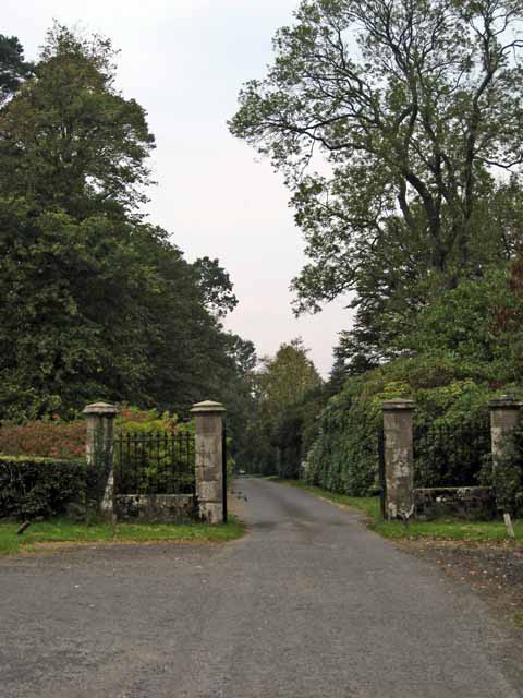
Trails and paths wind their way through the plantation, offering visitors the opportunity to explore its natural beauty. The trails are well-maintained and suitable for all ages and fitness levels, making it accessible to families and individuals seeking a peaceful retreat.
Birdwatchers will delight in the presence of several species that call Berryknowes Plantation home, such as woodpeckers, owls, and various songbirds. Red squirrels can be spotted darting among the treetops, adding a touch of charm to the woodland experience.
The plantation is also home to a small pond, which attracts a variety of water-loving creatures, including frogs, newts, and dragonflies. This serene spot provides a tranquil setting for picnics or simply to sit and enjoy the peaceful ambiance.
Overall, Berryknowes Plantation offers a serene and enchanting escape into nature, providing visitors with the opportunity to immerse themselves in the beauty of Ayrshire's woodlands and all the natural wonders it has to offer.
If you have any feedback on the listing, please let us know in the comments section below.
Berryknowes Plantation Images
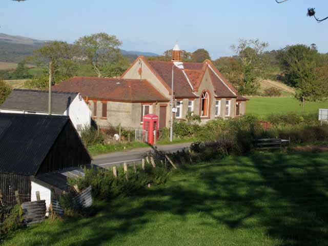
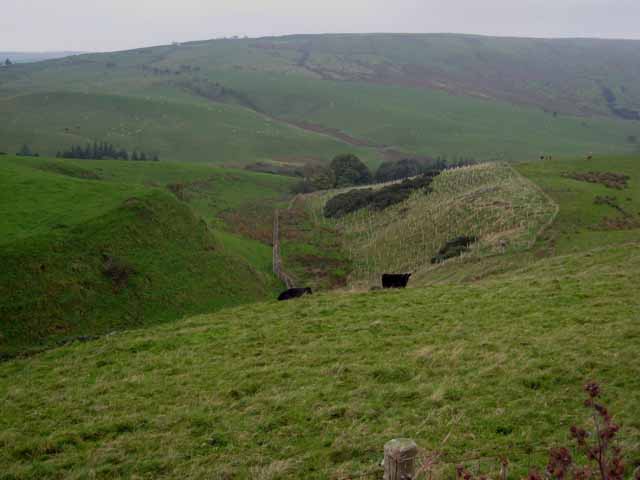
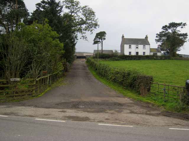
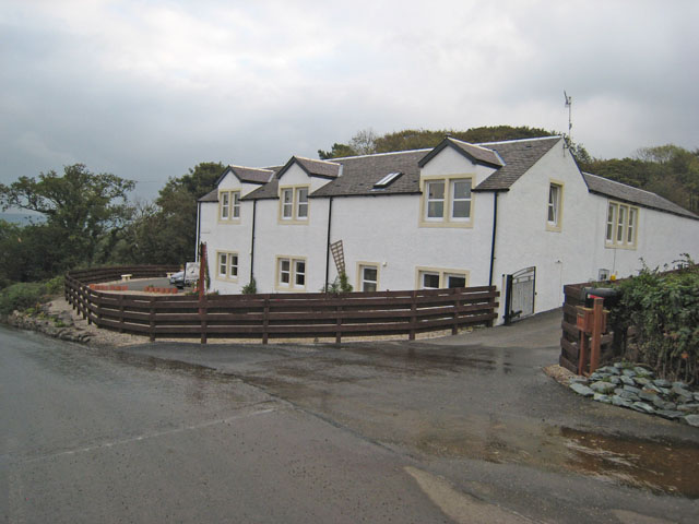
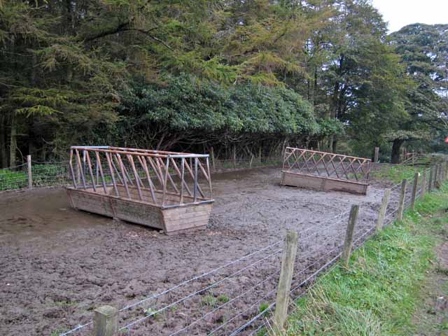
Images are sourced within 2km of 55.252796/-4.7713833 or Grid Reference NX2398. Thanks to Geograph Open Source API. All images are credited.
Berryknowes Plantation is located at Grid Ref: NX2398 (Lat: 55.252796, Lng: -4.7713833)
Unitary Authority: South Ayrshire
Police Authority: Ayrshire
What 3 Words
///melon.chariots.cherub. Near Girvan, South Ayrshire
Nearby Locations
Related Wikis
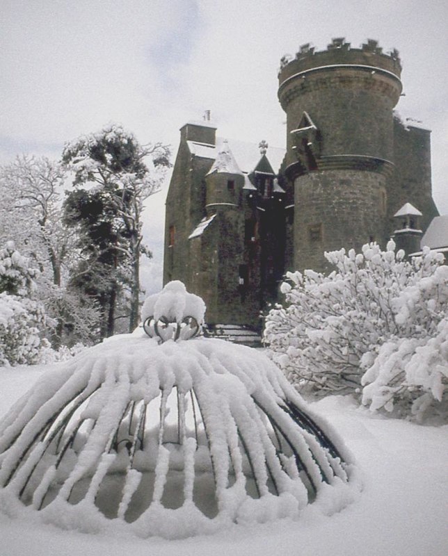
Penkill Castle
Penkill Castle is a 16th-century castle with later additions. It is around 1⁄2 mile (800 metres) south of Old Dailly, northeast of Girvan in south Ayrshire...

Old Dailly
Old Dailly is a hamlet in South Ayrshire, Scotland. It is located west of Dailly (or "New Dailly"). The Charter or Blue stones of Old Dailly in Ayrshire...

Killochan Castle
Killochan Castle is a 16th-century L-plan tower house about 3 miles (4.8 km) north east of Girvan, South Ayrshire, Scotland, north of the Water of Girvan...

Killochan railway station
Killochan railway station was located in a rural part of South Ayrshire, Scotland and mainly served the nearby Killochan Castle estate. The Killochan bank...
Have you been to Berryknowes Plantation?
Leave your review of Berryknowes Plantation below (or comments, questions and feedback).