Balcletchie Wood
Wood, Forest in Ayrshire
Scotland
Balcletchie Wood
Balcletchie Wood is a picturesque woodland located in Ayrshire, Scotland. Covering an area of approximately 100 hectares, this forest is a haven for nature enthusiasts and outdoor adventurers alike. The wood is situated near the village of Dalrymple, providing easy access for visitors.
The woodland is renowned for its diverse range of flora and fauna. Ancient oak and beech trees dominate the landscape, creating a dense canopy that offers shade and shelter to a variety of woodland creatures. Bluebells, primroses, and wild garlic carpet the forest floor in spring, creating a vibrant tapestry of color.
Balcletchie Wood is also known for its rich birdlife. Birdwatchers can spot a wide range of species, including woodpeckers, treecreepers, and buzzards. The tranquil atmosphere of the forest provides the perfect setting for birdwatching and enjoying the sounds of nature.
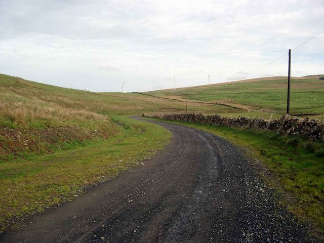
For outdoor enthusiasts, Balcletchie Wood offers a network of well-maintained trails, ideal for walking, hiking, and cycling. These trails wind through the forest, providing stunning views of the surrounding countryside. There are also designated picnic areas where visitors can relax and enjoy a meal amidst the natural beauty.
The wood is managed by a local conservation trust, ensuring the preservation of its ecological integrity. Educational programs and guided tours are available, offering visitors the opportunity to learn about the history and importance of the woodland ecosystem.
Overall, Balcletchie Wood is a hidden gem in Ayrshire, offering a peaceful retreat for nature lovers and an opportunity to immerse oneself in the beauty of Scotland's natural landscapes.
If you have any feedback on the listing, please let us know in the comments section below.
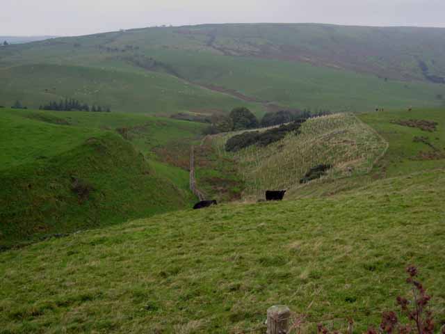
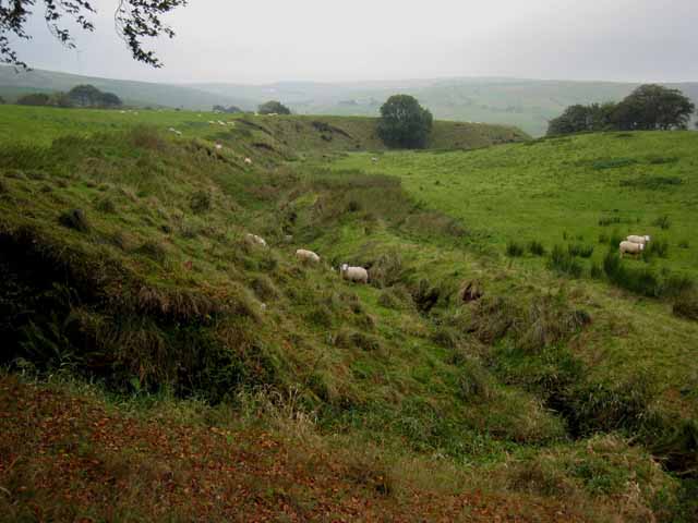
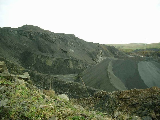
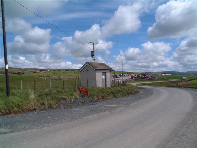
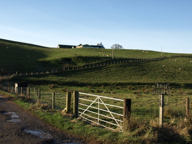
Balcletchie Wood Images
Images are sourced within 2km of 55.226344/-4.7700145 or Grid Reference NX2395. Thanks to Geograph Open Source API. All images are credited.


Balcletchie Wood is located at Grid Ref: NX2395 (Lat: 55.226344, Lng: -4.7700145)
Unitary Authority: South Ayrshire
Police Authority: Ayrshire
What 3 Words
///scrolled.driving.clattered. Near Girvan, South Ayrshire
Nearby Locations
Related Wikis
Penkill Castle
Penkill Castle is a 16th-century castle with later additions. It is around 1⁄2 mile (800 metres) south of Old Dailly, northeast of Girvan in south Ayrshire...

Old Dailly
Old Dailly is a hamlet in South Ayrshire, Scotland. It is located west of Dailly (or "New Dailly"). The Charter or Blue stones of Old Dailly in Ayrshire...

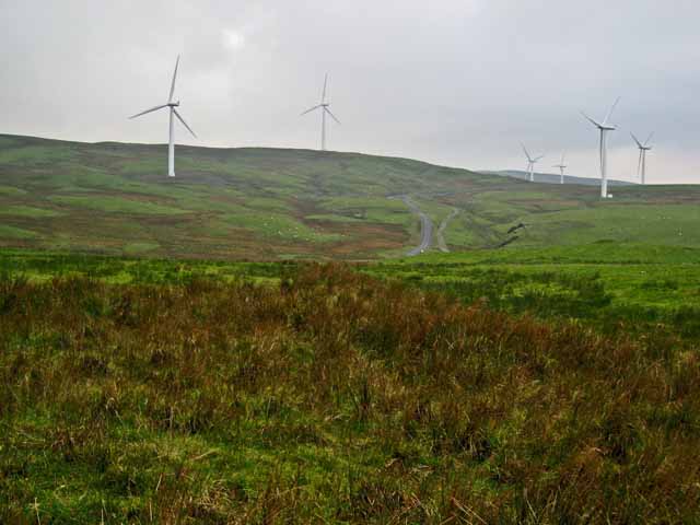
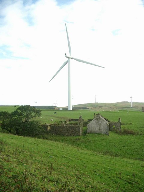
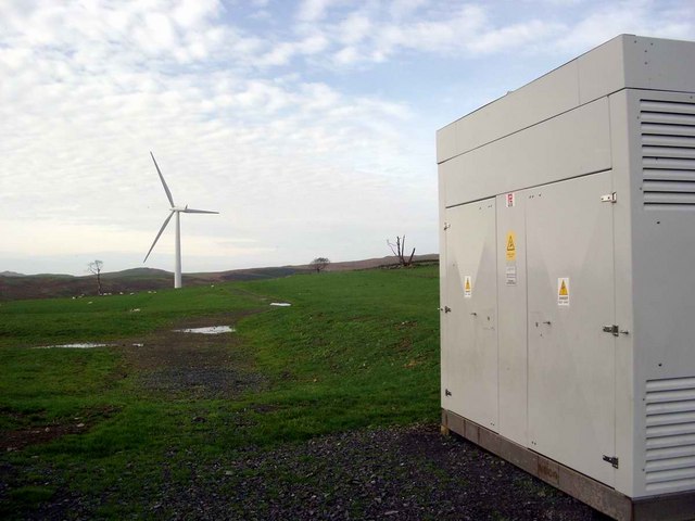
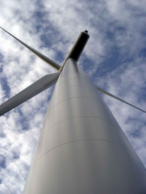
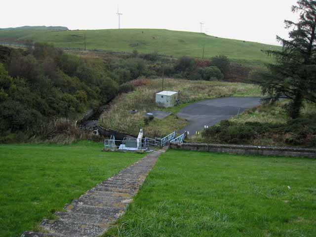
Hadyard Hill Wind Farm
Hadyard Hill Wind Farm is located in Carrick district of South Ayrshire. Costing £85 million, the wind farm consists of 52 three-bladed Siemens wind turbines...

Killochan Castle
Killochan Castle is a 16th-century L-plan tower house about 3 miles (4.8 km) north east of Girvan, South Ayrshire, Scotland, north of the Water of Girvan...
Nearby Amenities
Located within 500m of 55.226344,-4.7700145Have you been to Balcletchie Wood?
Leave your review of Balcletchie Wood below (or comments, questions and feedback).