Garelochhead Forest
Wood, Forest in Dunbartonshire
Scotland
Garelochhead Forest
Garelochhead Forest is a picturesque woodland situated in Dunbartonshire, Scotland. Spanning an area of approximately 1,200 acres, it is a popular destination for locals and tourists alike seeking tranquility and natural beauty.
The forest is characterized by dense patches of native Scottish trees such as oak, birch, and pine, which create a rich and diverse ecosystem. The lush undergrowth is adorned with a variety of vibrant wildflowers, adding to the enchanting atmosphere of the forest.
Visitors can explore the forest through a network of well-maintained trails that cater to different levels of difficulty. These paths wind through the woods, offering breathtaking views of the surrounding hills and the nearby Gare Loch. The tranquil ambiance of the forest makes it an ideal place for walking, cycling, or simply enjoying a peaceful picnic.
Garelochhead Forest is not only a haven for nature lovers but also a sanctuary for wildlife. The forest provides a habitat for a range of species, including red squirrels, roe deer, and a myriad of bird species. Birdwatchers will be delighted by the opportunity to spot rare and migratory birds, as the forest is a recognized birding hotspot.
The forest is easily accessible, with a car park located at the entrance, and public transportation options available nearby. Its proximity to the charming village of Garelochhead allows visitors to combine their forest exploration with a visit to local shops, cafes, and attractions.
In summary, Garelochhead Forest is a captivating woodland in Dunbartonshire, offering a serene escape into nature. With its scenic trails, diverse flora and fauna, and easy accessibility, it is a must-visit destination for nature enthusiasts and those seeking a peaceful retreat.
If you have any feedback on the listing, please let us know in the comments section below.
Garelochhead Forest Images
Images are sourced within 2km of 56.061918/-4.8442127 or Grid Reference NS2389. Thanks to Geograph Open Source API. All images are credited.


Garelochhead Forest is located at Grid Ref: NS2389 (Lat: 56.061918, Lng: -4.8442127)
Unitary Authority: Argyll and Bute
Police Authority: Argyll and West Dunbartonshire
What 3 Words
///skis.reddish.samplers. Near Garelochhead, Argyll & Bute
Nearby Locations
Related Wikis
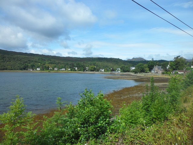
Faslane (bay)
Faslane (Gaelic: Am Fas Leathann) on Gare Loch is the name of a bay near the village of Garelochhead, and is now the main part of HM Naval Base Clyde in...

Rahane
Rahane is a place in Argyll and Bute, Scotland. It lies on the west bank of the Gare Loch as part of the Rosneath peninsula, 2.3 miles (3.7 km) south...
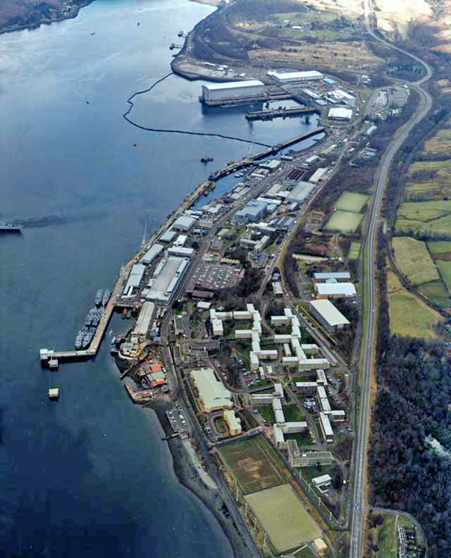
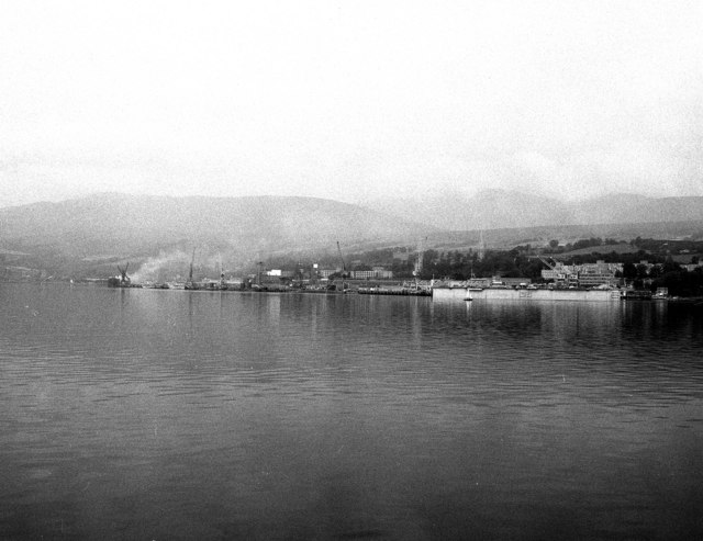
HMNB Clyde
His Majesty's Naval Base, Clyde (HMNB Clyde; also HMS Neptune), primarily sited at Faslane on the Gare Loch, is one of three operating bases in the United...

Garelochhead Training Camp
Garelochhead Training Camp is a military training camp located near Garelochhead in Scotland. == History == The camp was originally built in 1940 during...

Faslane Castle, Shandon Castle, and St Michael's Chapel
Faslane Castle and Shandon Castle were two mediaeval Scottish castles which once stood between the village of Garelochhead and the town of Helensburgh...

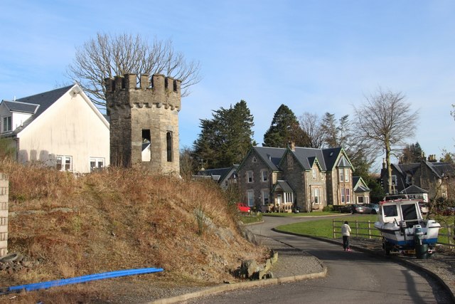
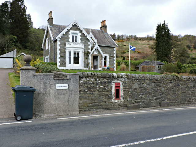
Garelochhead
Garelochhead (Scots: Garelochheid, Scottish Gaelic: Ceann a' Gheàrr-loch, "Headland of the Short Lake") is a small town on the Gare Loch in Argyll and...

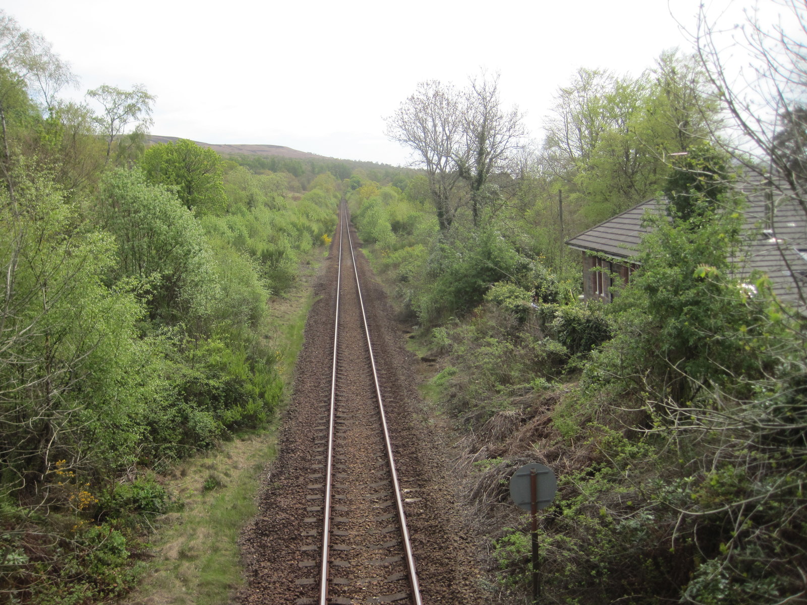
Garelochhead railway station
Garelochhead railway station (Scottish Gaelic: Ceann a' Gheàrrloch) is a railway station serving the village of Garelochhead, on the Gare Loch, in Scotland...
Shandon railway station
Shandon is a closed railway station located at Shandon on the east shore of Gare Loch, in Argyll and Bute. It is located towards the southern end of the...
Nearby Amenities
Located within 500m of 56.061918,-4.8442127Have you been to Garelochhead Forest?
Leave your review of Garelochhead Forest below (or comments, questions and feedback).