Barbae Wood
Wood, Forest in Ayrshire
Scotland
Barbae Wood
Barbae Wood is a picturesque forest located in Ayrshire, Scotland. Covering an area of approximately 200 acres, it is a popular destination for nature lovers and outdoor enthusiasts. The wood is nestled amidst the rolling hills and lush greenery, offering visitors a tranquil and serene environment.
The forest is primarily composed of native broadleaf trees such as oak, birch, and ash, creating a diverse and vibrant ecosystem. These trees provide a habitat for a variety of wildlife, including birds, squirrels, and deer. The wood is also home to a rich assortment of plant species, including bluebells, primroses, and ferns, which create a stunning display of colors during the spring and summer months.
There are numerous walking trails and paths that wind through the wood, allowing visitors to explore its beauty at their own pace. These trails range from easy to moderate difficulty, catering to different fitness levels. The forest is well-maintained, with clear signposts and markers guiding visitors along the way.
In addition to its natural beauty, Barbae Wood also offers a range of recreational activities. There are designated picnic areas where visitors can enjoy a leisurely meal amidst the peaceful surroundings. The wood is also a popular spot for birdwatching, with many rare and migratory species making it their home.
Overall, Barbae Wood is a haven of tranquility and natural beauty, making it a must-visit destination for those seeking a peaceful retreat in the heart of Ayrshire.
If you have any feedback on the listing, please let us know in the comments section below.
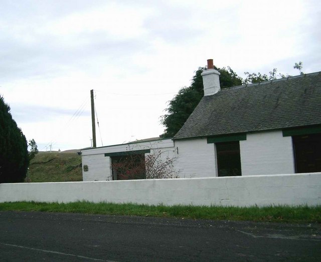
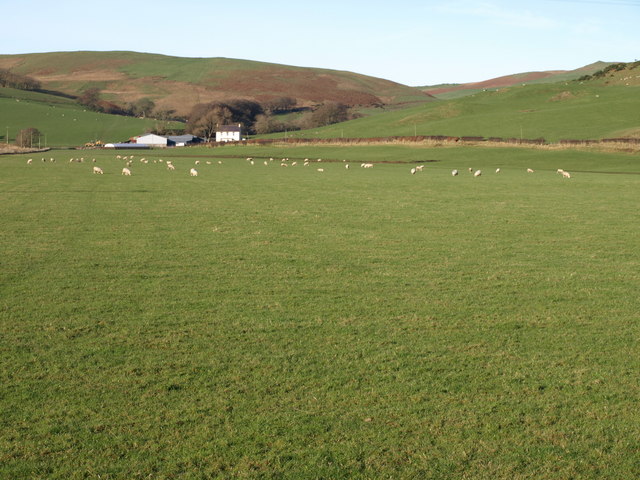
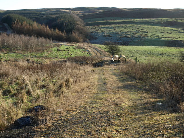
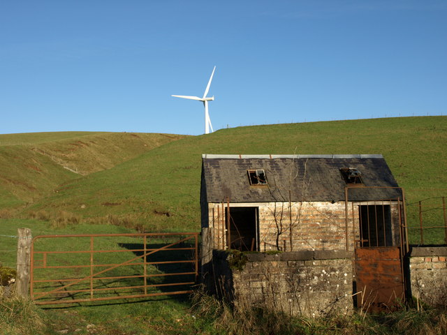
Barbae Wood Images
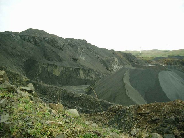
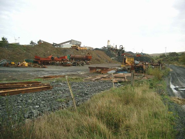
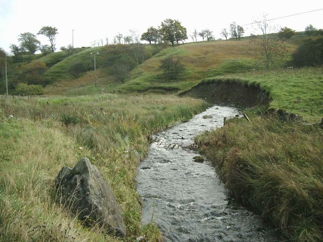
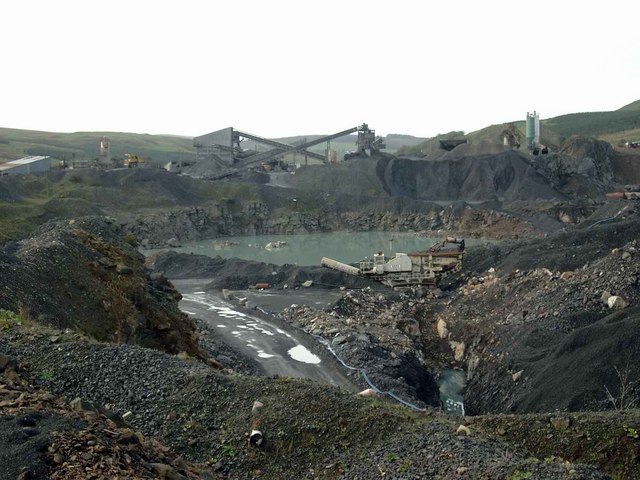
Images are sourced within 2km of 55.206778/-4.7950009 or Grid Reference NX2293. Thanks to Geograph Open Source API. All images are credited.

![Valley of the Water of Assel Viewed from the A714 to the north of Pinmore. The large farm in the middle distance is Daldowie [<a href="https://www.geograph.org.uk/gridref/NX2192">NX2192</a>] with Daldowie Hill [<a href="https://www.geograph.org.uk/gridref/NX2392">NX2392</a> beyond.](https://s3.geograph.org.uk/photos/33/09/330951_88ec0e53.jpg)


Barbae Wood is located at Grid Ref: NX2293 (Lat: 55.206778, Lng: -4.7950009)
Unitary Authority: South Ayrshire
Police Authority: Ayrshire
What 3 Words
///scramble.winds.fabric. Near Girvan, South Ayrshire
Nearby Locations
Related Wikis

Pinmore railway station
Pinmore railway station served the hamlet of Pinmore, South Ayrshire, Scotland from 1877 to 1965 on the Girvan and Portpatrick Junction Railway. ��2�...
Penkill Castle
Penkill Castle is a 16th-century castle with later additions. It is around 1⁄2 mile (800 metres) south of Old Dailly, northeast of Girvan in south Ayrshire...

Old Dailly
Old Dailly is a hamlet in South Ayrshire, Scotland. It is located west of Dailly (or "New Dailly"). The Charter or Blue stones of Old Dailly in Ayrshire...
Girvan
Girvan (Scottish Gaelic: Inbhir Gharbhain, "mouth of the River Girvan") is a burgh and harbour town in Carrick, South Ayrshire, Scotland. Girvan is situated...
Ian Henderson (RAF officer)
Captain Ian Henry David Henderson (2 October 1896 – 21 June 1918) was a British World War I flying ace credited with seven aerial victories. == Biography... ==
Davidson Hospital
The Davidson Hospital was a health facility in Girvan, South Ayrshire, Scotland. It was managed by NHS Ayrshire and Arran. It remains a Category B listed...
Ardmillan Castle
Ardmillan Castle is a ruinous Scottish castle dating from the late 16th century. It lies on the A77 on the edge of the Firth of Clyde south of Girvan....
Barr, Ayrshire
Barr is a village in the South West of Ayrshire, Scotland, approximately 8 miles (13 km) from the town of Girvan. There are various opinions as to the...
Nearby Amenities
Located within 500m of 55.206778,-4.7950009Have you been to Barbae Wood?
Leave your review of Barbae Wood below (or comments, questions and feedback).