Camp Hill
Settlement in Pembrokeshire
Wales
Camp Hill

The requested URL returned error: 429 Too Many Requests
If you have any feedback on the listing, please let us know in the comments section below.
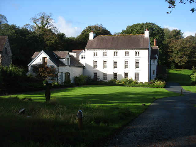
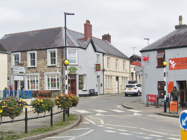
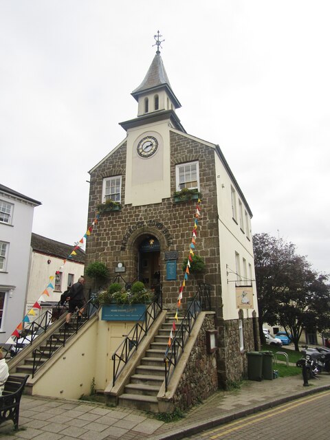
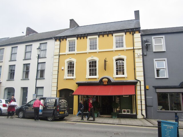
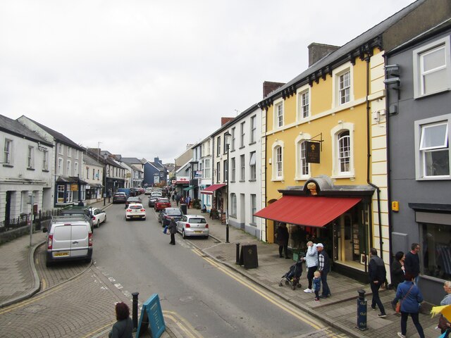
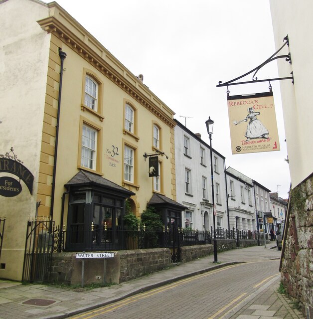
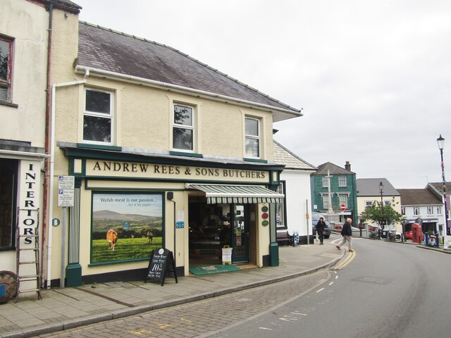
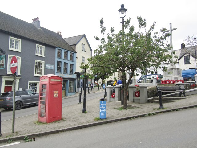
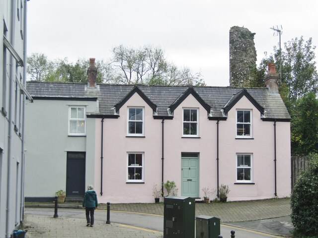
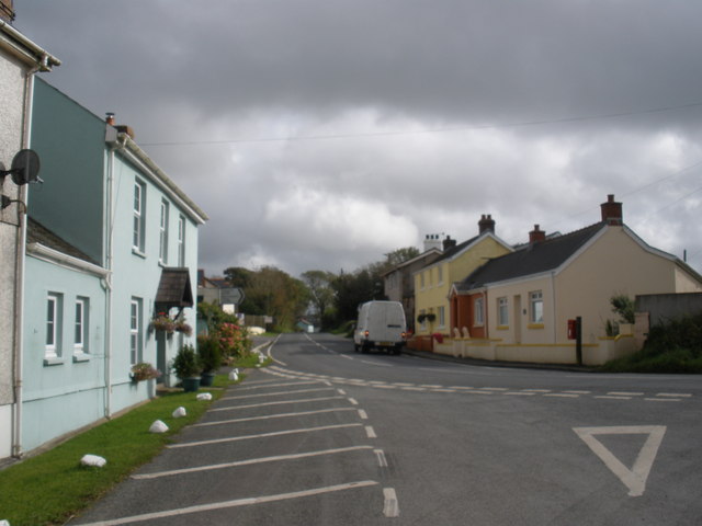
Camp Hill Images
Images are sourced within 2km of 51.787631/-4.7379953 or Grid Reference SN1113. Thanks to Geograph Open Source API. All images are credited.


Camp Hill is located at Grid Ref: SN1113 (Lat: 51.787631, Lng: -4.7379953)
Unitary Authority: Pembrokeshire
Police Authority: Dyfed Powys
What 3 Words
///laugh.torched.displays. Near Narberth, Pembrokeshire
Nearby Locations
Related Wikis
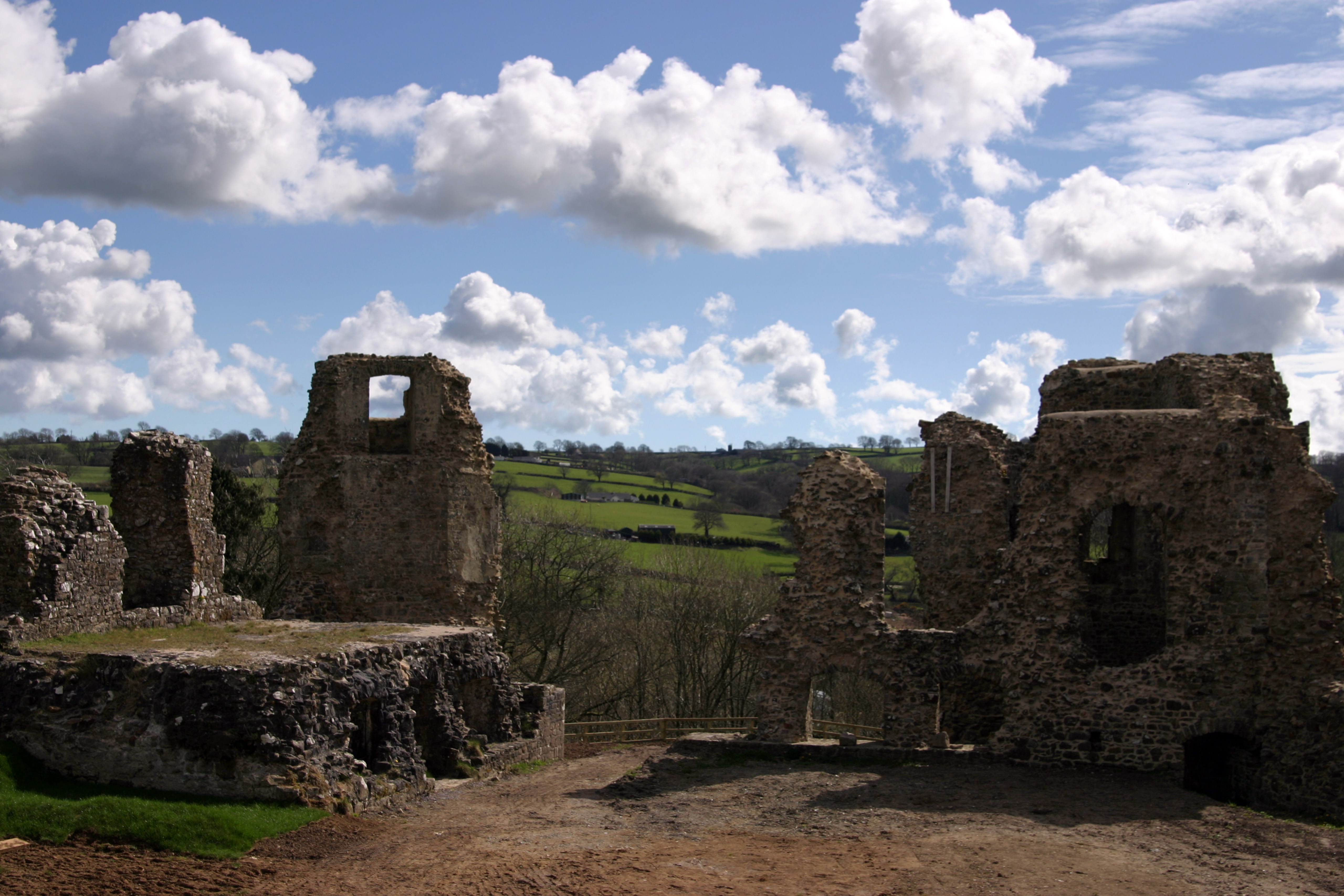
Narberth Castle
Narberth Castle (Welsh: Castell Arberth) is a ruined Norman fortress in the town of Narberth, Pembrokeshire, West Wales. It forms part of the Landsker...
Cold Blow
Cold Blow (or Coldblow) is a hamlet about 2 miles (3.2 km) southeast of Narberth in Pembrokeshire, southwest Wales. It lies on the B4315 Princes Gate to...

Narberth Hundred
The Hundred of Narberth was a hundred in Pembrokeshire, Wales. An administrative and legal division, it was formed by the Act of Union of 1536 from parts...

Radio Carmarthenshire
Radio Carmarthenshire is an Independent Local Radio station broadcasting to Carmarthenshire. It is owned and operated by Nation Broadcasting and broadcasts...
Nearby Amenities
Located within 500m of 51.787631,-4.7379953Have you been to Camp Hill?
Leave your review of Camp Hill below (or comments, questions and feedback).