Alperton
Settlement in Middlesex
England
Alperton

Alperton is a suburban area located in the London Borough of Brent, in the county of Middlesex, England. It is situated approximately 7.6 miles northwest of central London. Alperton has a diverse population, comprising of various ethnic communities, including a significant South Asian presence.
The area is primarily residential, with a mix of housing options ranging from Victorian and Edwardian terraced houses to modern apartment complexes. Alperton offers a range of amenities, including local shops, supermarkets, and restaurants, providing residents with convenient access to everyday necessities.
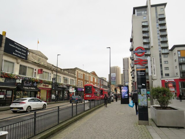
One of Alperton's notable landmarks is the Ealing Road, which is renowned for its vibrant South Asian community and bustling market. This street is lined with numerous shops selling a variety of traditional South Asian products, textiles, and food. It is a popular destination for locals and visitors alike, providing a taste of the multicultural atmosphere that characterizes the area.
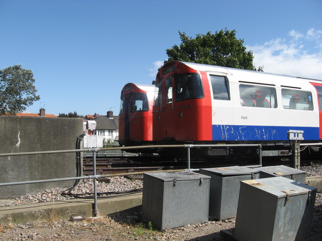
Alperton benefits from excellent transportation links, with Alperton Underground Station providing access to the Piccadilly line, connecting residents to central London and beyond. Additionally, several bus routes serve the area, facilitating easy travel to neighboring towns and suburbs.
Education in Alperton is provided by a range of primary and secondary schools, ensuring that families have access to a variety of educational options for their children.
Overall, Alperton offers a diverse and vibrant community, with a range of amenities and convenient transportation links, making it an attractive place to live for individuals and families seeking a suburban lifestyle within close proximity to central London.
If you have any feedback on the listing, please let us know in the comments section below.
Alperton Images
Images are sourced within 2km of 51.541129/-0.296977 or Grid Reference TQ1883. Thanks to Geograph Open Source API. All images are credited.


Alperton is located at Grid Ref: TQ1883 (Lat: 51.541129, Lng: -0.296977)
Unitary Authority: Brent
Police Authority: Metropolitan
What 3 Words
///zeal.invite.later. Near Wembley, London
Nearby Locations
Related Wikis
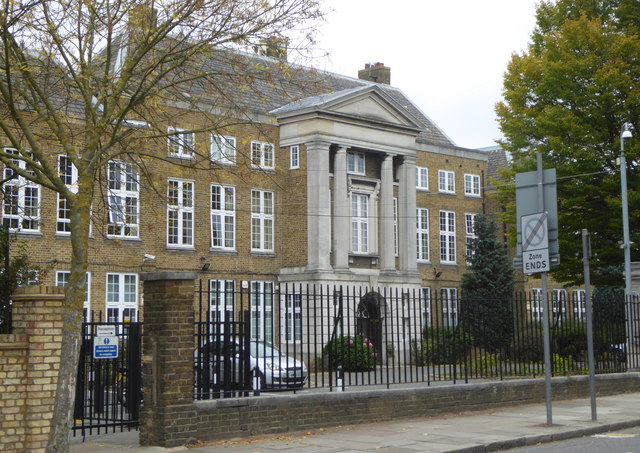
Alperton Community School
Alperton Community School is a coeducational secondary school and sixth form with academy status. It has a specialism in maths, computing and arts and...

Alperton
Alperton () is an area of north west London, England, within the London Borough of Brent. It forms the southern part of the town of Wembley and is 7.5...

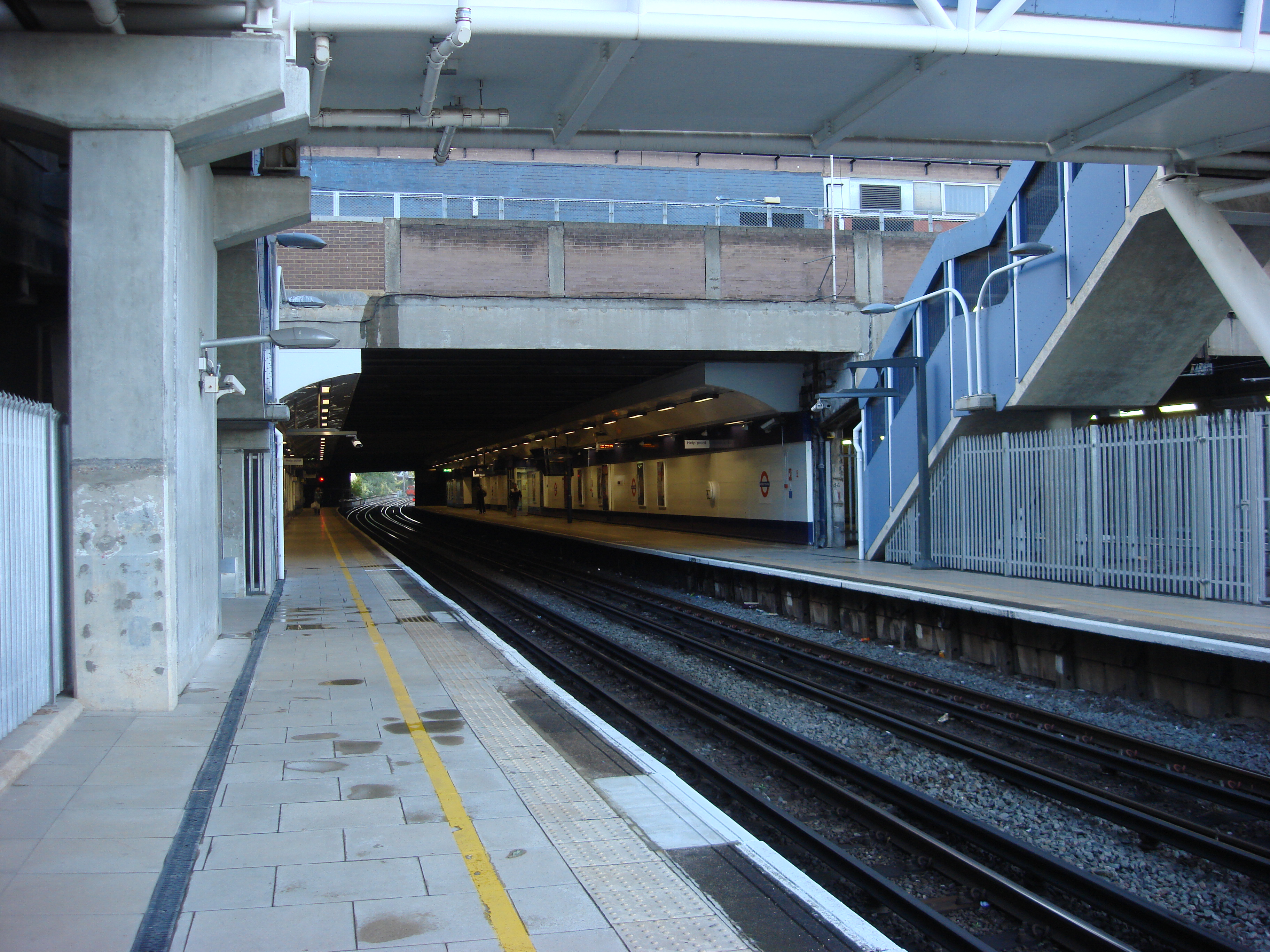
Alperton tube station
Alperton is a London Underground station on the Uxbridge branch of the Piccadilly line. The station is between Sudbury Town and Park Royal, in Travelcard...

St James Church Alperton
St James Church Alperton was a Gothic Revival Anglican Parish church, built in Alperton in the London Borough of Brent in London. It was situated on Stanley...

West Twyford
West Twyford (also known as Twyford Abbey) is a small residential area forming a northeastern corner of the London Borough of Ealing directly northeast...
Wembley Central rail crash
The Wembley Central rail crash was a fatal railway accident that occurred on 11 October 1984 just outside Wembley Central railway station, Greater London...
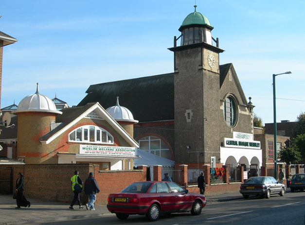
Wembley Central Mosque
The Wembley Central Mosque (formerly the St Andrew's Presbyterian Church) is a mosque in the London Borough of Brent. The principal mosque in North West...
Stonebridge Park Depot
Stonebridge Park Depot was also the historic name for part of Wembley Intercity DepotStonebridge Park Depot is a stabling and maintenance depot for trains...
Nearby Amenities
Located within 500m of 51.541129,-0.296977Have you been to Alperton?
Leave your review of Alperton below (or comments, questions and feedback).