Blood Moss
Wood, Forest in Wigtownshire
Scotland
Blood Moss
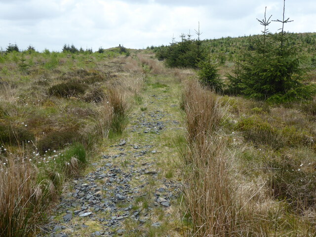
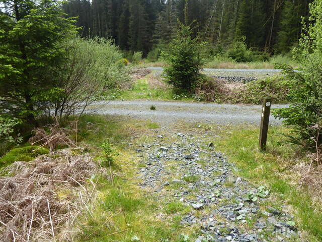
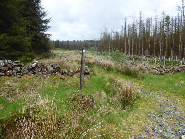
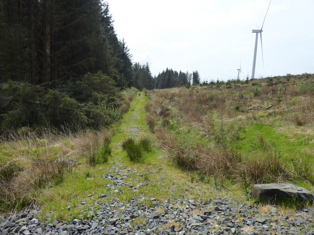
Blood Moss, Wigtownshire is a captivating wood located in the southwestern region of Scotland. Spanning over an area of approximately 500 acres, it is a diverse and enchanting forest, offering a unique blend of natural beauty and historic significance.
The name "Blood Moss" is derived from the distinctive red hue of the moss that covers the forest floor, creating a mesmerizing sight during certain times of the year. This moss, known as sphagnum, thrives in the damp and acidic conditions of the wood, lending an otherworldly atmosphere to the area.
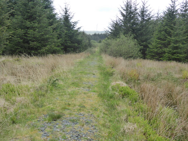
The wood itself is a mix of ancient oak and birch trees, creating a dense canopy that filters sunlight and provides a habitat for a variety of flora and fauna. The forest is home to an array of bird species, including owls, woodpeckers, and songbirds, making it a haven for birdwatchers. Additionally, the wood is inhabited by red squirrels, badgers, and deer, adding to the biodiversity of the area.
Blood Moss has a rich history as well, with remnants of ancient settlements and burial sites dating back thousands of years. Archaeological excavations have uncovered artifacts, such as pottery and tools, shedding light on the lives of the people who once inhabited this land.
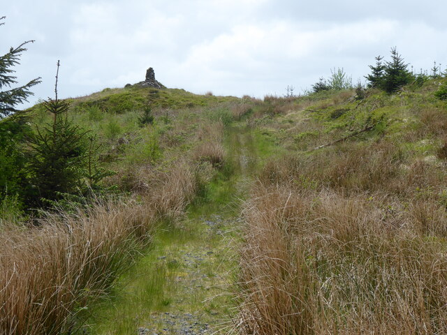
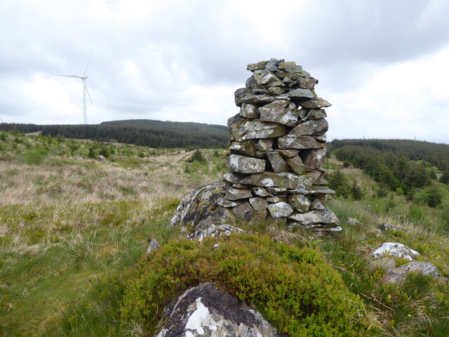
Today, Blood Moss is a popular destination for nature lovers, hikers, and photographers. Its ethereal beauty and tranquil atmosphere make it an ideal place to escape the hustle and bustle of everyday life and immerse oneself in the splendor of nature.
If you have any feedback on the listing, please let us know in the comments section below.
Blood Moss Images
Images are sourced within 2km of 55.008027/-4.7894417 or Grid Reference NX2171. Thanks to Geograph Open Source API. All images are credited.


Blood Moss is located at Grid Ref: NX2171 (Lat: 55.008027, Lng: -4.7894417)
Unitary Authority: Dumfries and Galloway
Police Authority: Dumfries and Galloway
What 3 Words
///birthdays.ulterior.long. Near Cairnryan, Dumfries & Galloway
Nearby Locations
Related Wikis

Glenwhilly railway station
Glenwhilly railway station served the area of Glenwhilly, Dumfries and Galloway, Scotland from 1887 to 1965 on the Girvan and Portpatrick Junction Railway...

Kilgallioch
Kilgallioch Wind Farm is a 96 turbine wind farm in South Ayrshire, Scotland with a total capacity of up to 239 megawatts (MW). Consent granted by the Scottish...

Arecleoch Wind Farm
Arecleoch Wind Farm is a 60 turbine wind farm in South Ayrshire, Scotland with a total capacity of 120 megawatts (MW), enough to power over 67,000 homes...

Tarf Water, Wigtownshire
The Tarf Water is a river in the former county of Wigtownshire in south-west Scotland. It rises on the Ayrshire border (55.0048°N 4.7815°W / 55.0048;...

New Luce
New Luce (Scottish Gaelic: Baile Ùr Ghlinn Lus) is a civil parish in Dumfries and Galloway, south-west Scotland. It lies in the traditional county of Wigtownshire...

Loups of Dalnigap
Loups of Dalnigap is a waterfall of Scotland. It sits below Dalnigap House, in the South of the Lagafater Estate. == See also == Waterfalls of Scotland...

New Luce railway station
New Luce railway station served the village of New Luce, Dumfries and Galloway, Scotland from 1887 to 1965 on the Girvan and Portpatrick Junction Railway...

Loch Dornal
Loch Dornal is an irregular shaped, shallow, freshwater loch in south Ayrshire, in the Southern Uplands of Scotland. It lies approximately eight miles...
Nearby Amenities
Located within 500m of 55.008027,-4.7894417Have you been to Blood Moss?
Leave your review of Blood Moss below (or comments, questions and feedback).