Barbour Wood

Wood, Forest in Dunbartonshire

Scotland

Barbour Wood

Loch Long from Gourock Gairletter caravan park is on the left. Viewed from Barrhill Road.
Loch Long from Gourock Credit: Thomas Nugent

Barbour Wood is a picturesque forest located in Dunbartonshire, Scotland. Spanning over an area of approximately 100 acres, it is a haven for nature enthusiasts and those seeking tranquility amidst the stunning Scottish landscape.

The wood is predominantly composed of native broadleaf trees, such as oak, birch, and beech, creating a rich and diverse ecosystem. The dense canopy formed by these trees provides shelter for a variety of wildlife, including birds, squirrels, and deer, making it a perfect spot for birdwatching and wildlife spotting.

A network of well-maintained walking trails winds through the wood, allowing visitors to explore its beauty at their own pace. These paths are suitable for all levels of fitness and are clearly marked, ensuring a safe and enjoyable experience for everyone. Along the way, you may encounter charming wooden bridges crossing babbling brooks and streams, adding to the enchanting atmosphere of the wood.

Barbour Wood is also home to a number of picnic areas, offering visitors the opportunity to relax and enjoy a meal surrounded by nature's tranquility. With its peaceful ambiance and abundant natural beauty, it serves as an ideal spot for family outings, romantic walks, or simply escaping the hustle and bustle of everyday life.

Located within easy reach of nearby towns and villages, Barbour Wood is a popular destination for both locals and tourists alike. Its accessibility, combined with its captivating scenery and diverse wildlife, make it a must-visit location for anyone seeking a peaceful retreat in the heart of Dunbartonshire.

If you have any feedback on the listing, please let us know in the comments section below.

Barbour Wood Images

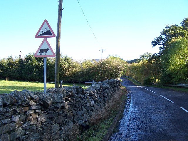
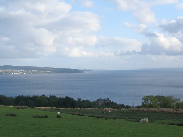
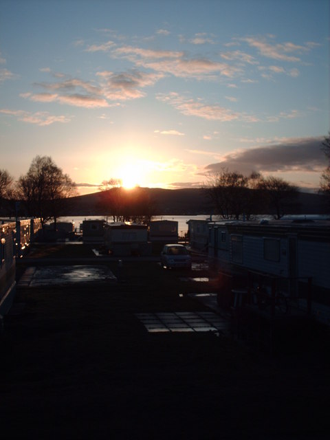
Images are sourced within 2km of 56.018312/-4.8667942 or Grid Reference NS2184. Thanks to Geograph Open Source API. All images are credited.

Loch Long from Gourock Gairletter caravan park is on the left. Viewed from Barrhill Road.
Loch Long from Gourock
Gairletter caravan park is on the left. Viewed from Barrhill Road.
Victorian Pillar Box In the wall to the right of the Knockderry House Hotel.
Victorian Pillar Box
In the wall to the right of the Knockderry House Hotel.
Meikle Burn Just missed the dog crossing the burn
Meikle Burn
Just missed the dog crossing the burn
Knockderry House Hotel
Barbour Cemetery
Barbour Cemetery
Ardpeaton Lodge On the road to Coulport
Ardpeaton Lodge
On the road to Coulport
Loch Long and Ardentinny Taken from Ardpeaton
Loch Long and Ardentinny
Taken from Ardpeaton
Road Junction to Gareloch Creachan Mor in the background
Road Junction to Gareloch
Creachan Mor in the background
Road to Gareloch Time to get off the bike and push
Road to Gareloch
Time to get off the bike and push
Reach for the sky
Reach for the sky
Nuclear Submarine in Loch Long
Sheep grazings off the Barbour Road A view looking to the south-southwest over sheep grazings off the Barbour Road on the Rosneath Peninsula. Knockderry castle can be seen in the trees in the upper foreground with Cloch Point and the chimney at Inverkip power station visible across the Firth of Clyde.
Sheep grazings off the Barbour Road
A view looking to the south-southwest over sheep grazings off the Barbour Road on the Rosneath Peninsula. Knockderry castle can be seen in the trees in the upper foreground with Cloch Point and the chimney at Inverkip power station visible across the Firth of Clyde.
Cove Green A view looking south down Loch Long from the picnic area on Cove Green, towards Cloch Point (left) and Dunoon (right). An information plaque for the Clyde Sea Lochs Trail can be seen in the foreground.
Cove Green
A view looking south down Loch Long from the picnic area on Cove Green, towards Cloch Point (left) and Dunoon (right). An information plaque for the Clyde Sea Lochs Trail can be seen in the foreground.
Loch Long A view looking north along Loch Long from the picnic area on Cove Green. Knockderry Castle can be seen in the distance at centre.
Loch Long
A view looking north along Loch Long from the picnic area on Cove Green. Knockderry Castle can be seen in the distance at centre.
Coulport Telephone Box This telephone box is outside the telephone exchange just along the B833 from the Faslane nuclear base.  There were protesters camped just to the right of the box adjacent to the exchange.
Coulport Telephone Box
This telephone box is outside the telephone exchange just along the B833 from the Faslane nuclear base. There were protesters camped just to the right of the box adjacent to the exchange.
Coulport Telephone Box & B833 Coulport telephone box and B833 - near to Faslane nuclear base.
Coulport Telephone Box & B833
Coulport telephone box and B833 - near to Faslane nuclear base.
Cove Ross at Cove with the Firth of Clyde in the distance.
Cove
Ross at Cove with the Firth of Clyde in the distance.
Fence in rough pasture Looking along fenceline towards Toman Dubh with Loch Long in the background.
Fence in rough pasture
Looking along fenceline towards Toman Dubh with Loch Long in the background.
Show me another place!

Barbour Wood is located at Grid Ref: NS2184 (Lat: 56.018312, Lng: -4.8667942)

Unitary Authority: Argyll and Bute

Police Authority: Argyll and West Dunbartonshire

What 3 Words

///builder.brownish.capacity. Near Rosneath, Argyll & Bute

Related Wikis

Knockderry Castle

Knockderry Castle is a house in Shore Road, Cove, Argyll, Scotland, that was designed by Alexander Thomson in the 1850s, with Baronial additions by William...

Ardpeaton

Ardpeaton is a settlement in Argyll and Bute, Scotland, on the shore of Loch Long, with a population under 1000. == References ==

Rosneath Peninsula

The Rosneath Peninsula is a peninsula in Argyll and Bute, western Scotland. Formerly in the historic county of Dunbartonshire, it is formed on its eastern...

Loch Long

Loch Long is a body of water in the council area of Argyll and Bute, Scotland. The Sea Loch extends from the Firth of Clyde at its southwestern end. It...

Nearby Amenities

Located within 500m of 56.018312,-4.8667942
Power: pole
Lat/Long: 56.0150945/-4.8646922
Power: pole
Lat/Long: 56.0145721/-4.8647467
Power: pole
Lat/Long: 56.014093/-4.8647446
Power: pole
Lat/Long: 56.014859/-4.8642207
Power: pole
Lat/Long: 56.0151355/-4.8636969
Power: pole
Lat/Long: 56.0154154/-4.8631898
Power: pole
Lat/Long: 56.015686/-4.862712
Power: pole
Lat/Long: 56.0165714/-4.8612327
Power: pole
Lat/Long: 56.0168514/-4.8607947
Power: pole
Lat/Long: 56.0206822/-4.8630892
Power: pole
Lat/Long: 56.0209153/-4.8642752
Power: pole
Lat/Long: 56.0211694/-4.8656205
Power: pole
Lat/Long: 56.0196083/-4.8610839
Power: pole
Lat/Long: 56.0200498/-4.8610902
Power: pole
Lat/Long: 56.0204422/-4.8618613
Power: pole
Lat/Long: 56.0208977/-4.86258
Power: pole
Lat/Long: 56.0211987/-4.8631185
Power: pole
Lat/Long: 56.0214505/-4.8634622
Power: pole
Lat/Long: 56.0220606/-4.8643506
Power: pole
Lat/Long: 56.0215383/-4.8627036
Power: pole
Lat/Long: 56.0201845/-4.8631542
Power: pole
Lat/Long: 56.0193975/-4.8631877
Power: pole
Lat/Long: 56.0186456/-4.8632107
Power: pole
Lat/Long: 56.0178633/-4.8632401
Power: pole
Lat/Long: 56.0170551/-4.8632254
Power: pole
Lat/Long: 56.0162329/-4.8631374
Power: pole
Lat/Long: 56.0146986/-4.8623726
The data included in this document is from www.openstreetmap.org. The data is made available under ODbL.

Have you been to Barbour Wood?

Leave your review of Barbour Wood below (or comments, questions and feedback).