Camp Corner
Settlement in Oxfordshire South Oxfordshire
England
Camp Corner
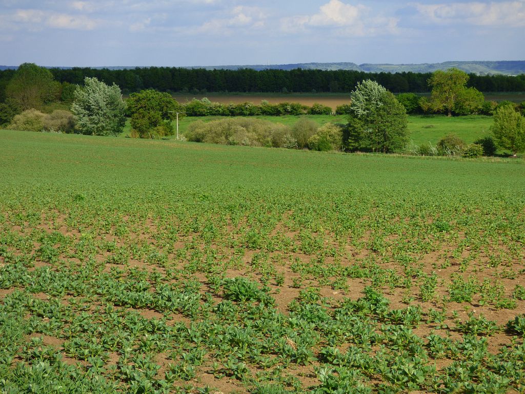
Camp Corner is a small village located in the county of Oxfordshire, England. Situated in the Cherwell district, it lies approximately 12 miles northeast of the city of Oxford. The village is nestled amidst the picturesque countryside, characterized by rolling hills, meadows, and dense woodlands.
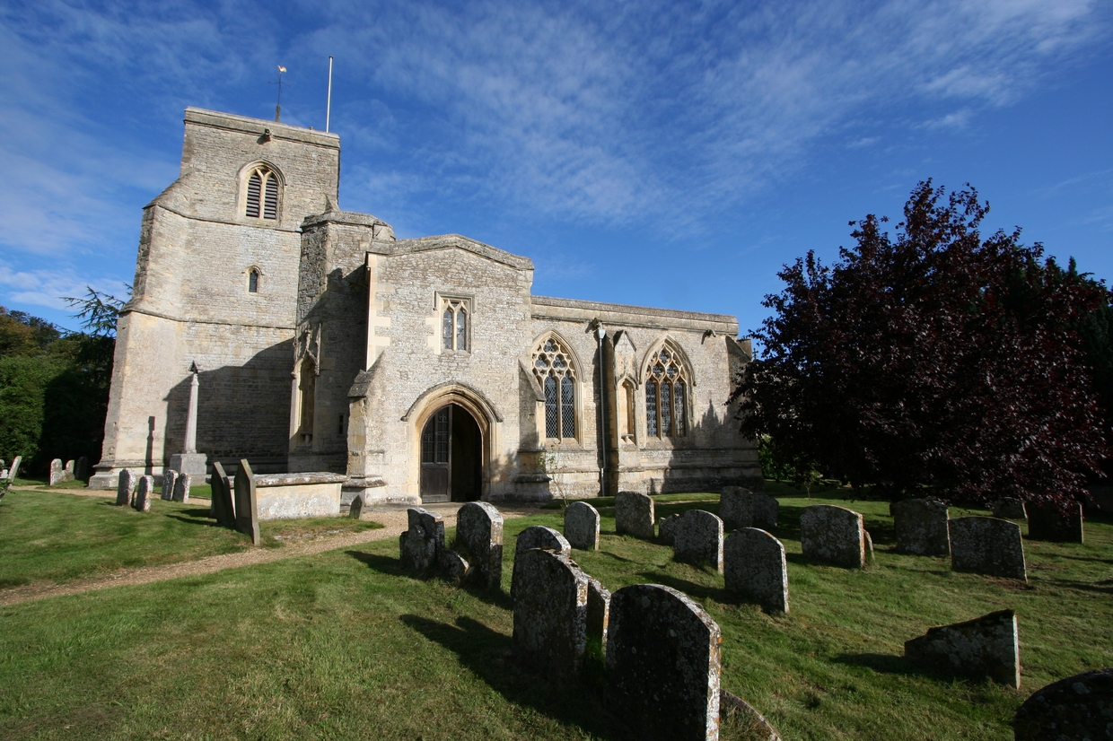
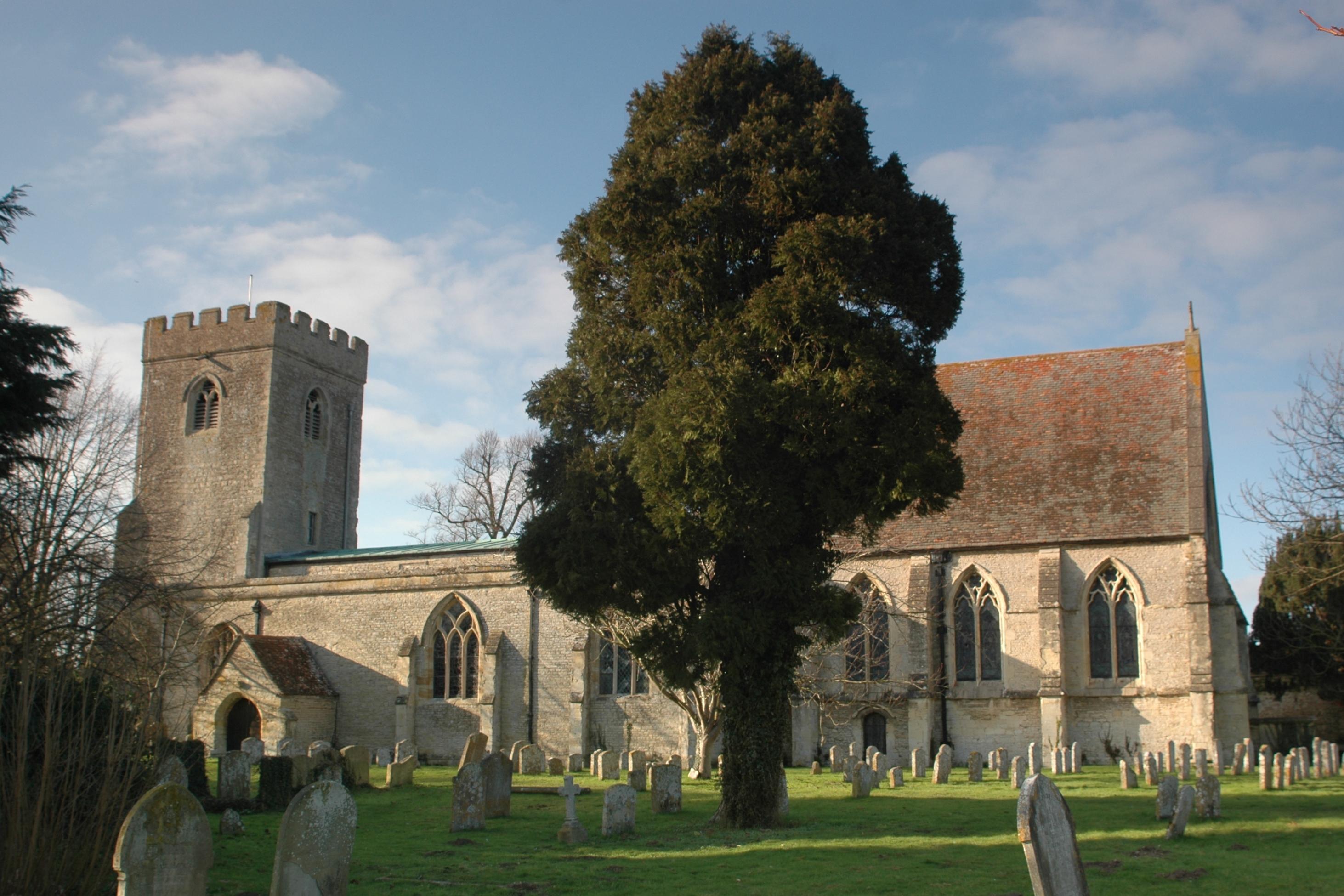
With a population of around 300 residents, Camp Corner exudes a quaint and peaceful ambiance. The village is renowned for its charming stone cottages, many of which date back several centuries, showcasing the region's rich architectural heritage. The local church, St. Mary's, is a prominent feature, boasting a striking spire that can be seen from afar.
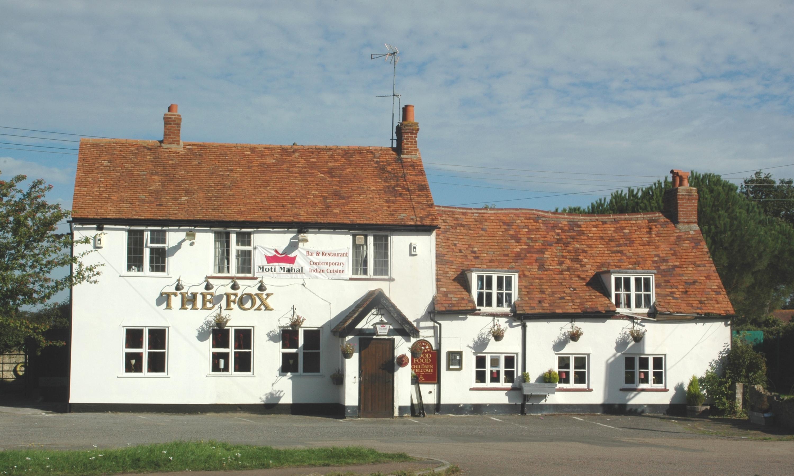
Despite its small size, Camp Corner offers a range of amenities to its residents and visitors. The village is home to a cozy pub, The Corner House, which serves traditional English fare and provides a welcoming atmosphere for locals and tourists alike. In addition, there is a village hall that hosts various community events throughout the year, fostering a strong sense of community spirit.
The surrounding area provides ample opportunities for outdoor activities and exploration. The nearby countryside offers scenic walking and cycling routes, allowing visitors to immerse themselves in the natural beauty of the region. Additionally, the village is in close proximity to several historical landmarks and attractions, including the renowned Blenheim Palace, making it an ideal base for those seeking cultural and historical experiences.
In summary, Camp Corner is a charming village in Oxfordshire, offering a tranquil escape from the bustling city life. With its picturesque scenery, rich history, and warm community spirit, it is a destination that appeals to both nature lovers and those seeking a peaceful retreat.
If you have any feedback on the listing, please let us know in the comments section below.
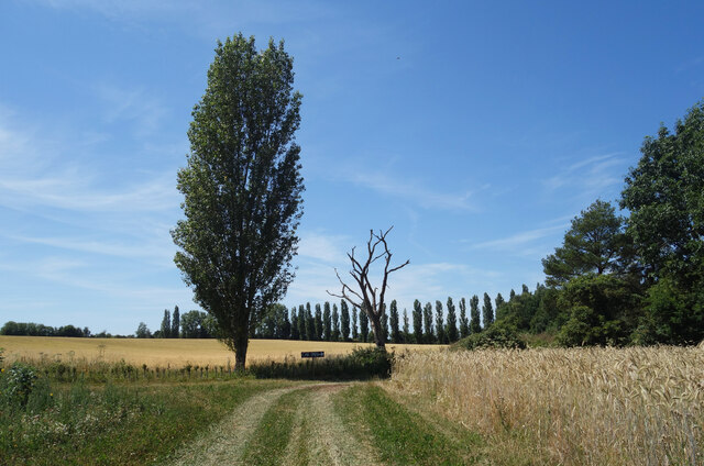
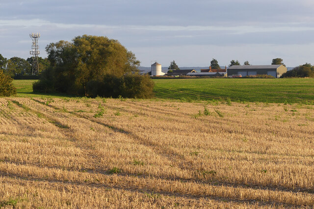
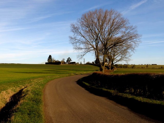
Camp Corner Images
Images are sourced within 2km of 51.72208/-1.0748871 or Grid Reference SP6403. Thanks to Geograph Open Source API. All images are credited.


Camp Corner is located at Grid Ref: SP6403 (Lat: 51.72208, Lng: -1.0748871)
Administrative County: Oxfordshire
District: South Oxfordshire
Police Authority: Thames Valley
What 3 Words
///seat.riches.lamppost. Near Wheatley, Oxfordshire
Nearby Locations
Related Wikis
Great Milton
Great Milton is a village and civil parish in Oxfordshire, about 7 miles (11 km) east of Oxford. The 2011 Census recorded the parish's population as 1...
Great Haseley
Great Haseley is a village and civil parish in South Oxfordshire, England. The village is about 4.5 miles (7 km) southwest of Thame. The parish includes...
Tiddington railway station
Tiddington railway station was on the Wycombe Railway and served the village of Tiddington, Oxfordshire. On 24 October 1864 the Wycombe Railway opened...
Tiddington, Oxfordshire
Tiddington is a village in the civil parish of Tiddington-with-Albury, in the South Oxfordshire district, in Oxfordshire, England. It is about 3+1⁄2 miles...

Oxford MSA
Oxford services is a motorway service station next to junction 8A of the M40 motorway at Waterstock near Wheatley in Oxfordshire, several miles to the...
Wells Farm
Wells Farm is a 64-hectare (160-acre) nature reserve on the eastern outskirts of Little Milton in Oxfordshire. It is managed by the Berkshire, Buckinghamshire...

Tiddington-with-Albury
Tiddington-with-Albury is a civil parish in South Oxfordshire. It includes the village of Albury (Ordnance Survey grid reference SP655051), the larger...

Albury, Oxfordshire
Albury is a village in the civil parish of Tiddington-with-Albury, about 5 miles (8 km) west of Thame in Oxfordshire. == Manor == Its toponym is derived...
Nearby Amenities
Located within 500m of 51.72208,-1.0748871Have you been to Camp Corner?
Leave your review of Camp Corner below (or comments, questions and feedback).