Broomcraigs Plantation

Wood, Forest in Ayrshire

Scotland

Broomcraigs Plantation

On the track to Goldenberry Hill The trees of Thicket Plantation lie ahead.
On the track to Goldenberry Hill Credit: Gordon Brown

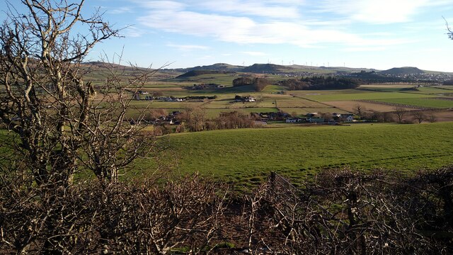
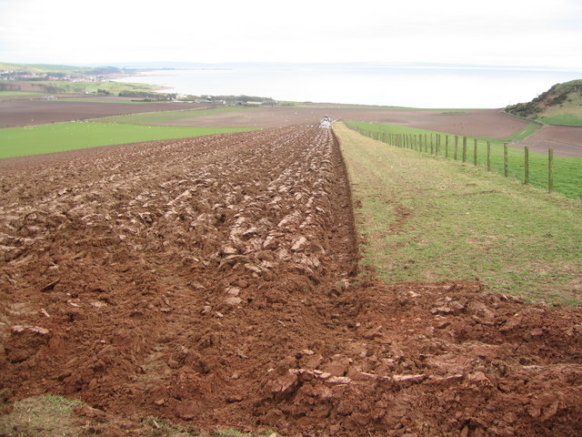
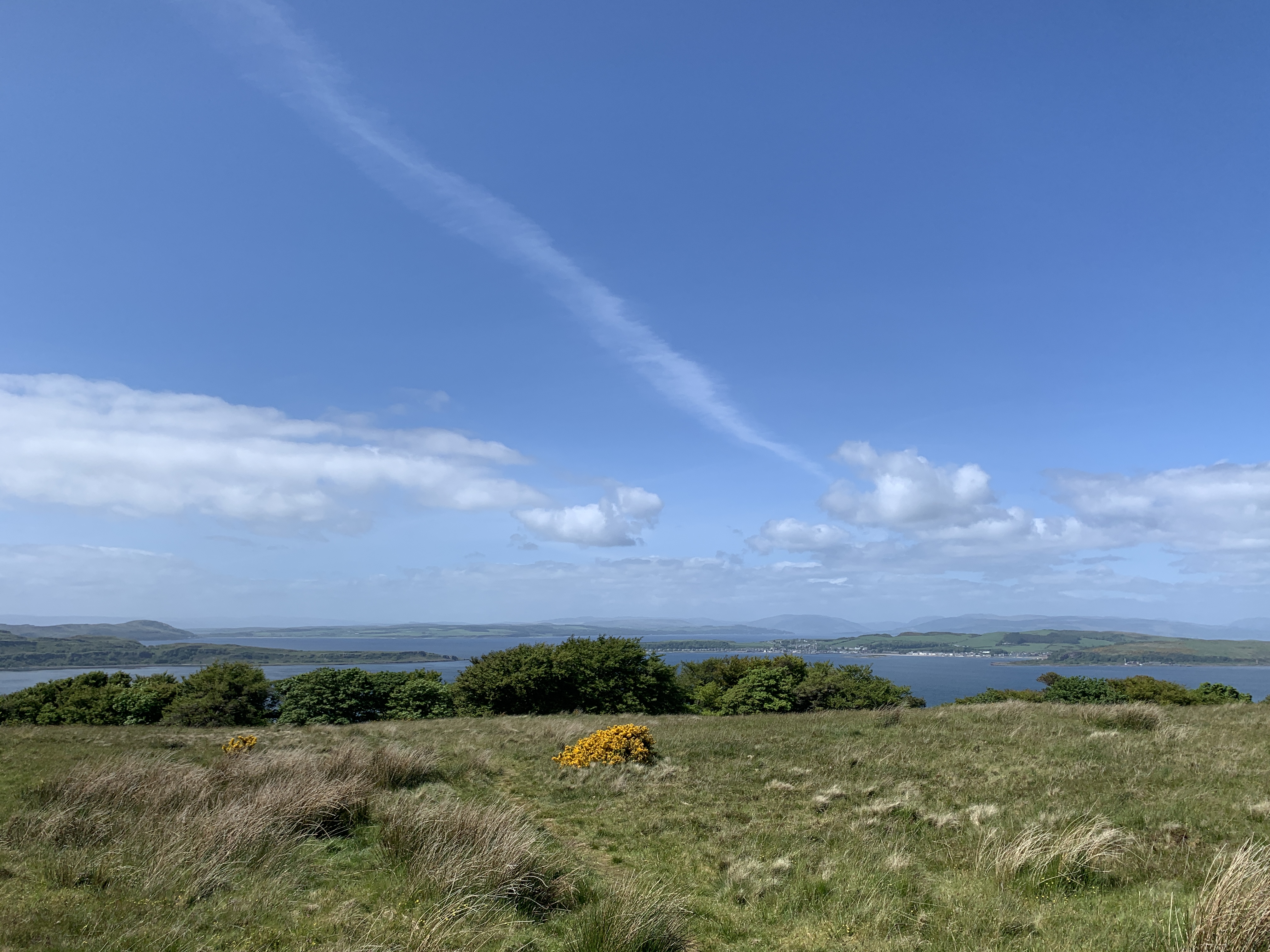
Broomcraigs Plantation is an expansive woodland located in Ayrshire, Scotland. Covering a vast area of approximately 500 acres, this plantation is a haven for nature enthusiasts and outdoor enthusiasts alike.

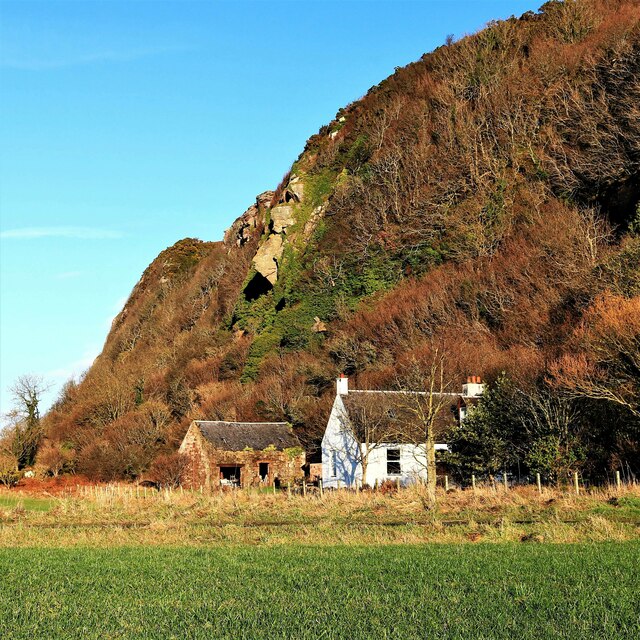
Characterized by its dense forest cover, Broomcraigs Plantation is home to a diverse range of flora and fauna. The woodland is predominantly populated with native tree species such as oak, birch, and rowan, which create a rich and varied ecosystem. These trees provide a habitat for numerous bird species, including woodpeckers, owls, and various songbirds.

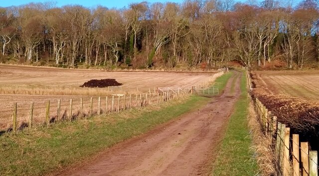
Visitors to Broomcraigs Plantation can enjoy a network of well-maintained trails that wind through the woodland, offering breathtaking views at every turn. These trails cater to a range of abilities, from gentle strolls to more challenging hikes, providing an opportunity for everyone to explore this natural gem.

The plantation also serves as an important conservation area, with efforts in place to protect and preserve the native species found within its boundaries. In addition to its ecological significance, Broomcraigs Plantation is also a valuable resource for local communities, offering recreational activities such as birdwatching, photography, and picnicking.

With its tranquil atmosphere and abundant wildlife, Broomcraigs Plantation is a must-visit destination for those seeking solace in nature. Whether it is for a leisurely walk, a family outing, or a chance to reconnect with the natural world, this woodland provides an immersive experience that will leave visitors with lasting memories.

If you have any feedback on the listing, please let us know in the comments section below.

Broomcraigs Plantation Images

Images are sourced within 2km of 55.719917/-4.8834665 or Grid Reference NS1851. Thanks to Geograph Open Source API. All images are credited.

On the track to Goldenberry Hill The trees of Thicket Plantation lie ahead.
On the track to Goldenberry Hill
The trees of Thicket Plantation lie ahead.
Looking down on Thirdpart Holdings I believe this row of small-holdings was originally established after WW1 for returning servicemen - unless anyone knows better?
Looking down on Thirdpart Holdings
I believe this row of small-holdings was originally established after WW1 for returning servicemen - unless anyone knows better?
The Portencross Murder - Northbank Cottage Northbank Cottage was the scene of the murder of Miss Mary Speir Gunn, on the evening of 18th October 1913.

Murder of Mary Speir Gunn <span class="nowrap"><a title="https://en.wikipedia.org/wiki/Murder_of_Mary_Speir_Gunn" rel="nofollow ugc noopener" href="https://en.wikipedia.org/wiki/Murder_of_Mary_Speir_Gunn">Link</a><img style="margin-left:2px;" alt="External link" title="External link - shift click to open in new window" src="https://s1.geograph.org.uk/img/external.png" width="10" height="10"/></span>
The Portencross Murder - Northbank Cottage
Northbank Cottage was the scene of the murder of Miss Mary Speir Gunn, on the evening of 18th October 1913. Murder of Mary Speir Gunn LinkExternal link
West Kilbride - Forget Me Not This lovely wrought ironwork sign and seat at the junction of the A78 and B782 was gifted by Lodge Royal Arch West Kilbride № 314.
West Kilbride - Forget Me Not
This lovely wrought ironwork sign and seat at the junction of the A78 and B782 was gifted by Lodge Royal Arch West Kilbride № 314.
On the Ayrshire Coast Path below Ardneil Hill near Portencross Evidence of a raised beach with inland cliffs.
On the Ayrshire Coast Path below Ardneil Hill near Portencross
Evidence of a raised beach with inland cliffs.
West Kilbride Sign Seat and floral sign for West Kilbride with the A79 in the background.
West Kilbride Sign
Seat and floral sign for West Kilbride with the A79 in the background.
A78 at Carlung Farm Power lines cross road ahead
A78 at Carlung Farm
Power lines cross road ahead
B782 junction from A78
Cycle path by A78 near West Kilbride
Thirdpart Holdings
Thirdpart Holdings
Thirdpart Farm
Thirdpart Farm
Carlung - West Kilbride, Carlung Farm
Thirdpart - West Kilbride, Turf Farming
Thirdpart - West Kilbride, Turf Fields Both fields are being used to cultivate turf for lawns pitches etc. It looks good enough for Wembley.
Thirdpart - West Kilbride, Turf Fields
Both fields are being used to cultivate turf for lawns pitches etc. It looks good enough for Wembley.
Thirdpart - West Kilbride, Thirdpart Farm
Spring Ploughing Very red soil.
Spring Ploughing
Very red soil.
Ploughing There is a tractor amongst the gulls. Rich red soil. Looking towards Seamill and Ardneil Farm.
Ploughing
There is a tractor amongst the gulls. Rich red soil. Looking towards Seamill and Ardneil Farm.
Hunterston - Portencross, Northbank Farm With a field of Ayrshire Potatoes
Hunterston - Portencross, Northbank Farm
With a field of Ayrshire Potatoes
Show me another place!

Broomcraigs Plantation is located at Grid Ref: NS1851 (Lat: 55.719917, Lng: -4.8834665)

Unitary Authority: North Ayrshire

Police Authority: Ayrshire

What 3 Words

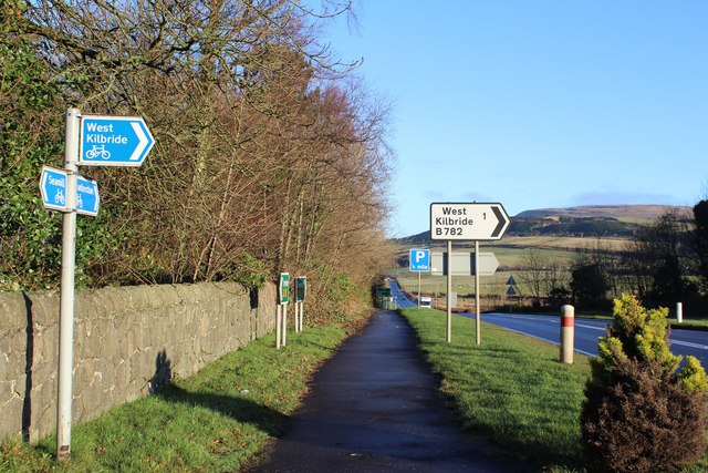
///koala.savings.transmits. Near West Kilbride, North Ayrshire

Related Wikis

Hunterston B nuclear power station

Hunterston B nuclear power station is a shut-down AGR nuclear power station in North Ayrshire, Scotland. Located about 6 miles (9.7 km) south of Largs...

Hunterston

Hunterston, by the Firth of Clyde, is a coastal area in Ayrshire, Scotland. It is the seat and estate of the Hunter family. As an area of flat land adjacent...

Hunterston A nuclear power station

Hunterston A nuclear power station is a former Magnox nuclear power station located at Hunterston in Ayrshire, Scotland, adjacent to Hunterston B. The...

Goldenberry Hill

Goldenberry Hill is a hill in North Ayrshire, Scotland, near West Kilbride. It is a popular spot for walks and is visited regularly. It is 140 metres...

Nearby Amenities

Located within 500m of 55.719917,-4.8834665
Power: tower
Source: Bing
Lat/Long: 55.7198992/-4.8852453
Power: tower
Source: Bing
Lat/Long: 55.719139/-4.890406
Power: tower
Source: Bing
Lat/Long: 55.7190101/-4.8863963
Power: tower
Source: Bing
Lat/Long: 55.7159314/-4.885417
Power: tower
Source: Bing
Lat/Long: 55.7165226/-4.8845532
Power: tower
Lat/Long: 55.7199169/-4.8899694
Grave Yard
Pet Cemetery
Lat/Long: 55.7233076/-4.8798956
Ice House (Ruin)
Tourism: attraction
Lat/Long: 55.7237867/-4.8833082
Campbelton Hill
Ele: 79
Natural: peak
Tourism: viewpoint
Lat/Long: 55.7180702/-4.88142
Sweet Chestnut Tree
Tourism: attraction
Lat/Long: 55.7238151/-4.8805557
Lairds Door
Access: permissive
Barrier: entrance
Door: hinged
Lat/Long: 55.7231879/-4.8803924
Whinstone Quarry
Abandoned: yes
Landuse: quarry
Lat/Long: 55.7192393/-4.881409
Whinestone Quarry
Landuse: quarry
Lat/Long: 55.718678/-4.8802939
The Dump
Landuse: landfill
Lat/Long: 55.7170921/-4.8849442
Whinstone Quarry
Abandoned: yes
Landuse: quarry
Tourism: attraction
Lat/Long: 55.7177737/-4.8882974
Fire Hydrant
Emergency: fire_hydrant
Fire Hydrant Type: underground
Lat/Long: 55.722755/-4.8788741
Fire Hydrant
Emergency: fire_hydrant
Fire Hydrant Position: green
Fire Hydrant Type: underground
Lat/Long: 55.7229619/-4.8789761
Bench
Statue
Backrest: yes
Seats: 2
Statue: yes
Tourism: attraction
Lat/Long: 55.7226156/-4.8805461
Access: permissive
Barrier: entrance
Door: hinged
Lat/Long: 55.7222693/-4.8802703
Access: permissive
Barrier: entrance
Door: hinged
Lat/Long: 55.7222361/-4.8795596
Half Moon Gate
Access: no
Barrier: kissing_gate
Tourism: attraction
Lat/Long: 55.7207399/-4.8799425
Power: tower
Lat/Long: 55.7196482/-4.8892229
Oak Tree
Tourism: attraction
Lat/Long: 55.7203531/-4.8817979
Access: permissive
Barrier: entrance
Door: hinged
Lat/Long: 55.7230134/-4.8807532
Power: tower
Lat/Long: 55.7200845/-4.8863974
Power: tower
Lat/Long: 55.7199057/-4.886413
Barrier: stile
Bicycle: no
Foot: yes
Horse: no
Motor Vehicle: no
Lat/Long: 55.7183198/-4.8869036
Mini Roundabout
Lat/Long: 55.7196399/-4.8885304
Man Made: water_well
Lat/Long: 55.7177402/-4.878252
Power: transformer
Lat/Long: 55.7213152/-4.8857904
Power: transformer
Lat/Long: 55.7216533/-4.8855212
Power: pole
Lat/Long: 55.7213301/-4.8835427
Power: pole
Lat/Long: 55.7212809/-4.8833428
Power: pole
Lat/Long: 55.721032/-4.8822027
Power: pole
Lat/Long: 55.7198682/-4.8766161
Power: pole
Lat/Long: 55.7200571/-4.8775119
Power: pole
Lat/Long: 55.7202918/-4.8786222
Power: pole
Lat/Long: 55.7205323/-4.8797847
Power: pole
Lat/Long: 55.720781/-4.8809596
Power: pole
Lat/Long: 55.719955/-4.8794264
Power: pole
Lat/Long: 55.719393/-4.8790618
Power: pole
Lat/Long: 55.718811/-4.8787202
Power: pole
Lat/Long: 55.7182102/-4.8783452
Location Transition: yes
Lat/Long: 55.7213972/-4.8861265
Location Transition: yes
Lat/Long: 55.721734/-4.885869
Location Transition: yes
Lat/Long: 55.7215739/-4.8849383
Location Transition: yes
Lat/Long: 55.7211252/-4.8853165
Location Transition: yes
Lat/Long: 55.7199403/-4.8869415
Location Transition: yes
Lat/Long: 55.7199488/-4.8872638
Location Transition: yes
Lat/Long: 55.719908/-4.8870999
Location Transition: yes
Lat/Long: 55.7200529/-4.8868556
The data included in this document is from www.openstreetmap.org. The data is made available under ODbL.

Have you been to Broomcraigs Plantation?

Leave your review of Broomcraigs Plantation below (or comments, questions and feedback).