Cammen Ucha

Settlement in Montgomeryshire

Wales

Cammen Ucha

The dam of the Marchant reservoir The water here was part of the Liverpool Corporation Waterworks scheme centred in Lake Vyrnwy. A description of the proposed works was posted in the London Gazette of 18/11/1879: 
8. An Aqueduct (to be called the Marchnant
Aqueduct) wholly situate in the township of
Marchnant and parish of Llanwddyn commencing
in the stream known as the Marchnant
about 2 chains above a dam or
weir to be placed across the said stream
at a point, thereon 6 chains or thereabouts
in a southerly direction from the farmhouse
known as Gwreiddian and terminating in
the said intended reservoir at a point 14
chains or thereabouts in a northerly direction
from the Cynon Isaf farmhouse aforesaid.
The dam of the Marchant reservoir Credit: Bill Boaden

The requested URL returned error: 429 Too Many Requests

If you have any feedback on the listing, please let us know in the comments section below.
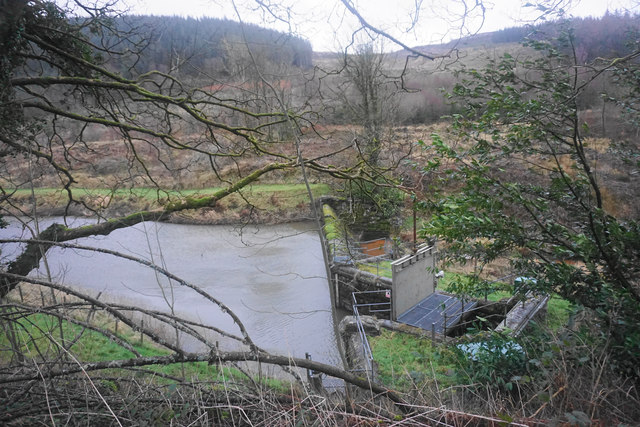
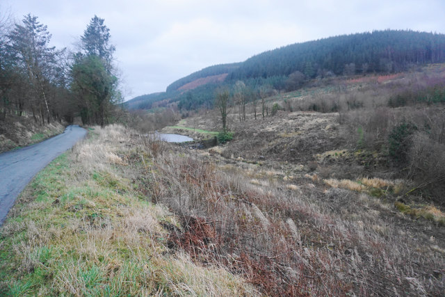
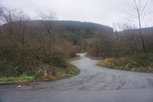
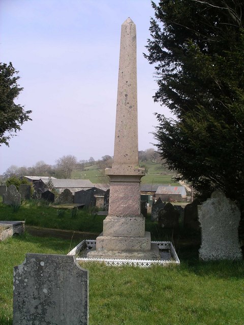
Cammen Ucha Images

Images are sourced within 2km of 52.760397/-3.3944136 or Grid Reference SJ0619. Thanks to Geograph Open Source API. All images are credited.

The dam of the Marchant reservoir The water here was part of the Liverpool Corporation Waterworks scheme centred in Lake Vyrnwy. A description of the proposed works was posted in the London Gazette of 18/11/1879: 
8. An Aqueduct (to be called the Marchnant
Aqueduct) wholly situate in the township of
Marchnant and parish of Llanwddyn commencing
in the stream known as the Marchnant
about 2 chains above a dam or
weir to be placed across the said stream
at a point, thereon 6 chains or thereabouts
in a southerly direction from the farmhouse
known as Gwreiddian and terminating in
the said intended reservoir at a point 14
chains or thereabouts in a northerly direction
from the Cynon Isaf farmhouse aforesaid.
The dam of the Marchant reservoir
The water here was part of the Liverpool Corporation Waterworks scheme centred in Lake Vyrnwy. A description of the proposed works was posted in the London Gazette of 18/11/1879: 8. An Aqueduct (to be called the Marchnant Aqueduct) wholly situate in the township of Marchnant and parish of Llanwddyn commencing in the stream known as the Marchnant about 2 chains above a dam or weir to be placed across the said stream at a point, thereon 6 chains or thereabouts in a southerly direction from the farmhouse known as Gwreiddian and terminating in the said intended reservoir at a point 14 chains or thereabouts in a northerly direction from the Cynon Isaf farmhouse aforesaid.
The Marchnant valley Looking up towards the dam. Forestry is the predominant industry.
The Marchnant valley
Looking up towards the dam. Forestry is the predominant industry.
Meandering track across the Marchnant valley The beginning of a path across the forested ridge.
Meandering track across the Marchnant valley
The beginning of a path across the forested ridge.
Ordnance Survey Cut Mark This OS cut mark can be found on the west parapet of the bridge. It marks a point 259.781m above mean sea level.
Ordnance Survey Cut Mark
This OS cut mark can be found on the west parapet of the bridge. It marks a point 259.781m above mean sea level.
B4393 near Melin Wnfa Heading east.
B4393 near Melin Wnfa
Heading east.
B4393 east of Abertridwr Heading east
B4393 east of Abertridwr
Heading east
Lane along the valley Leading to a couple of farms and paths that lead further along the valley and on to moorland.
Lane along the valley
Leading to a couple of farms and paths that lead further along the valley and on to moorland.
Gate on track to Penyfigin
Heading north on minor road
Gate on bridleway
Gate on bridleway
Bridle gate Aprroaching Penyfigin.
Bridle gate
Aprroaching Penyfigin.
B4393 towards Llanwddyn
B4396 east of Llanwddyn
Marchnant Dam This reservoir supplies water to Lake Vyrnwy via a tunnel.
Marchnant Dam
This reservoir supplies water to Lake Vyrnwy via a tunnel.
The road to Pant Glas Farm Off the B4393 Lake Vyrnwy road.
The road to Pant Glas Farm
Off the B4393 Lake Vyrnwy road.
Fron Heulog Caravan Park There are a number of caravan parks in the area, mostly well hidden. This one, standing high on the crest of a hill overlooking Abertridwr is, by contrast, rather conspicuous.
Fron Heulog Caravan Park
There are a number of caravan parks in the area, mostly well hidden. This one, standing high on the crest of a hill overlooking Abertridwr is, by contrast, rather conspicuous.
Show me another place!

Cammen Ucha is located at Grid Ref: SJ0619 (Lat: 52.760397, Lng: -3.3944136)

Unitary Authority: Powys

Police Authority: Dyfed Powys

What 3 Words

///regular.tadpoles.contemplate. Near Llangynog, Powys

Nearby Locations

Cammen Ucha

Related Wikis

Abertridwr, Powys

Abertridwr () is a small village in the historic county of Montgomeryshire in the north of Powys and close to Lake Vyrnwy in the community (civil parish...

Llanfihangel-yng-Ngwynfa

Llanfihangel-yng-Ngwynfa () was a parish within the former historic county of Montgomeryshire. It now forms a major part of the community of Llanfihangel...

Plynlimon and Hafan Tramway

The Plynlimon and Hafan Tramway was a 2 ft 3 in (686 mm) gauge narrow gauge railway in Cardiganshire (now Ceredigion) in Mid Wales. It ran from Llanfihangel...

Llanwddyn

Llanwddyn () is a village and community in Montgomeryshire, Powys, Wales. The community is centred on the Lake Vyrnwy reservoir. The original Llanwddyn...

Nearby Amenities

Located within 500m of 52.760397,-3.3944136
Ford: yes
Lat/Long: 52.7591532/-3.3908843
Ford: yes
Lat/Long: 52.7591636/-3.3954708
The data included in this document is from www.openstreetmap.org. The data is made available under ODbL.

Have you been to Cammen Ucha?

Leave your review of Cammen Ucha below (or comments, questions and feedback).