Balaclava Wood
Wood, Forest in Ayrshire
Scotland
Balaclava Wood

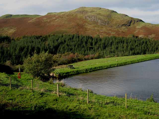
Balaclava Wood is a picturesque woodland located in Ayrshire, Scotland. Covering an area of approximately 100 acres, it is nestled within the beautiful countryside and is a popular destination for nature enthusiasts and outdoor lovers.
The woodland is predominantly made up of native deciduous trees, such as oak, birch, and beech, which create a vibrant and colorful scenery throughout the seasons. The dense canopy provides a sheltered habitat for various species of birds, including woodpeckers, robins, and owls, making it a haven for birdwatchers.
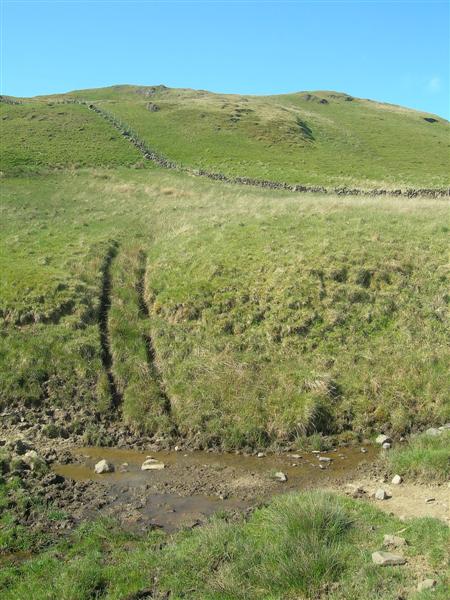
Balaclava Wood is crisscrossed with well-maintained trails, allowing visitors to explore its natural beauty on foot. These paths wind through the forest, offering stunning views of the surrounding landscape and providing opportunities for peaceful walks and invigorating hikes. The wood is also home to a diverse range of flora and fauna, with wildflowers, ferns, and mosses carpeting the forest floor.
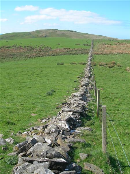
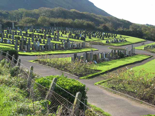
The wood has a rich history, with evidence of human habitation dating back centuries. Old ruins and stone walls can be found within the woodland, adding an air of mystery and intrigue to the area. Additionally, the wood is believed to have been part of the estate of the nearby Balaclava House, which was built in the 19th century and named after the famous Crimean War battle.
Balaclava Wood is a true gem of Ayrshire, offering visitors a chance to immerse themselves in the beauty of nature and explore the history of the area. Whether it's for a leisurely stroll, birdwatching, or a peaceful picnic, this woodland provides a tranquil escape from the hustle and bustle of everyday life.
If you have any feedback on the listing, please let us know in the comments section below.
Balaclava Wood Images
Images are sourced within 2km of 55.214502/-4.8539215 or Grid Reference NX1894. Thanks to Geograph Open Source API. All images are credited.


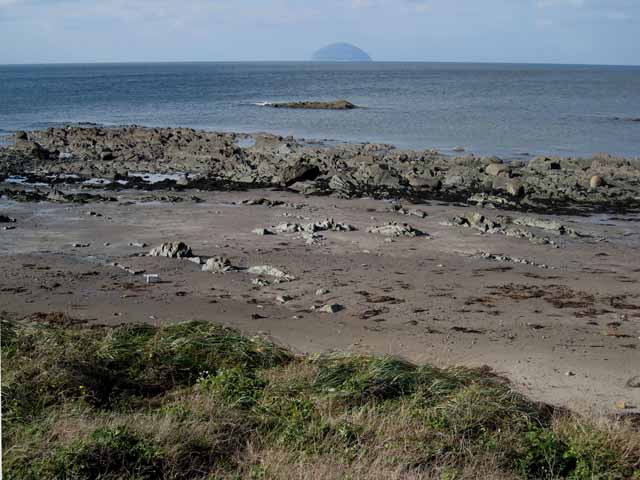
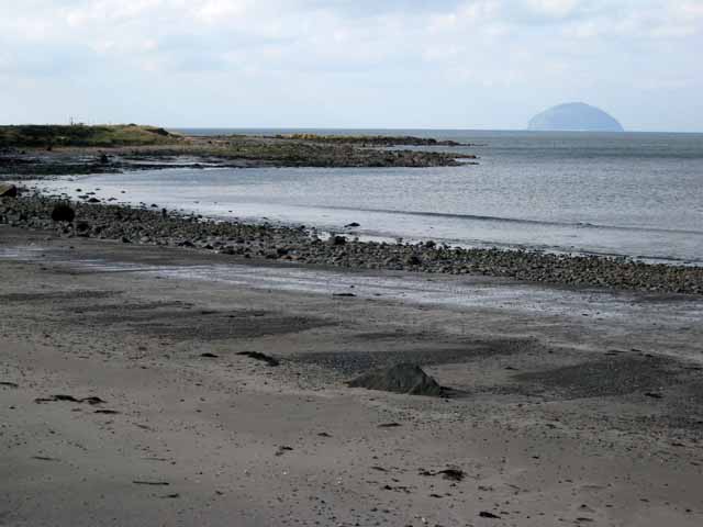
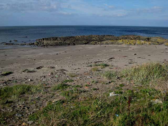
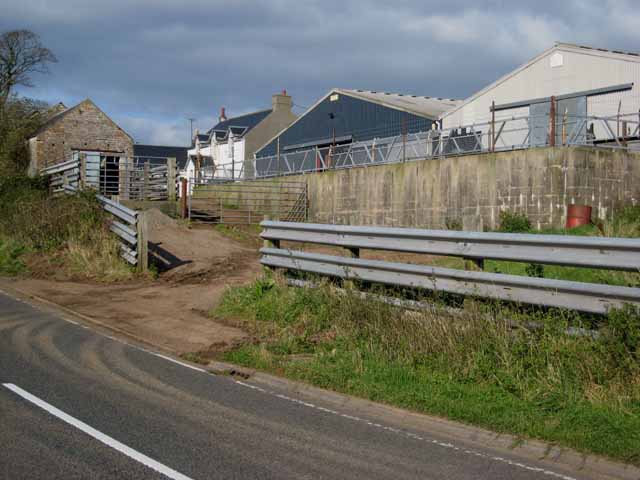

Balaclava Wood is located at Grid Ref: NX1894 (Lat: 55.214502, Lng: -4.8539215)
Unitary Authority: South Ayrshire
Police Authority: Ayrshire
What 3 Words
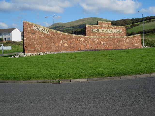
///elephant.stability.sympathy. Near Girvan, South Ayrshire
Nearby Locations
Related Wikis

Ardmillan Castle
Ardmillan Castle is a ruinous Scottish castle dating from the late 16th century. It lies on the A77 on the edge of the Firth of Clyde south of Girvan....
Ian Henderson (RAF officer)
Captain Ian Henry David Henderson (2 October 1896 – 21 June 1918) was a British World War I flying ace credited with seven aerial victories. == Biography... ==
Girvan
Girvan (Scottish Gaelic: Inbhir Gharbhain, "mouth of the River Girvan") is a burgh and harbour town in Carrick, South Ayrshire, Scotland. Girvan is situated...
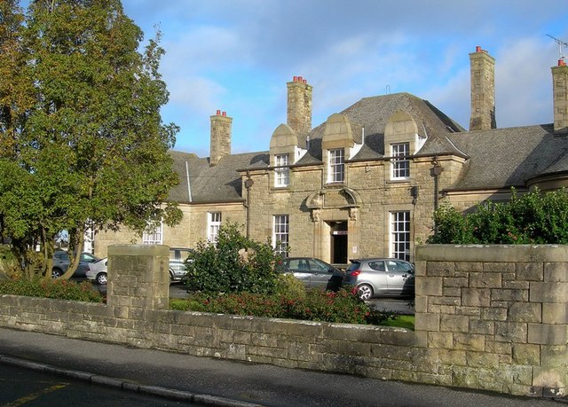
Davidson Hospital
The Davidson Hospital was a health facility in Girvan, South Ayrshire, Scotland. It was managed by NHS Ayrshire and Arran. It remains a Category B listed...
Have you been to Balaclava Wood?
Leave your review of Balaclava Wood below (or comments, questions and feedback).