Balneil Plantation

Wood, Forest in Wigtownshire

Scotland

Balneil Plantation

Old milestone Continuing northwards out of New Luce this milestone was spotted leaning precariously at the entrance to Knockiebae.  The full length of the worked stone is seen with a further few centimetres of rough stone at the base.
Old milestone Credit: Chris Minto

Balneil Plantation is a picturesque woodland located in Wigtownshire, a historic county in southwest Scotland. This plantation spans over a vast area and is renowned for its diverse range of tree species and natural beauty.

Nestled amidst rolling hills and lush greenery, Balneil Plantation is home to a rich variety of flora and fauna, making it a haven for nature enthusiasts and wildlife lovers. The woodland is predominantly composed of native species such as oak, birch, and Scots pine, which create a dense canopy overhead, providing a habitat for various woodland creatures.

Visitors to Balneil Plantation can enjoy a tranquil atmosphere while exploring the well-maintained walking trails that wind through the forest. These trails offer stunning views of the surrounding countryside and provide opportunities for observing wildlife, including deer, birds, and small mammals.

The plantation is also a popular destination for outdoor activities such as hiking, birdwatching, and photography. With its vast expanse and diverse landscape, Balneil Plantation offers endless opportunities for capturing the beauty of nature through the lens.

Furthermore, the woodland plays a vital role in conservation efforts, acting as a carbon sink and contributing to the overall ecological health of the region. The responsible management of Balneil Plantation ensures the preservation of its natural resources and the sustainability of the ecosystem.

In summary, Balneil Plantation is a remarkable woodland in Wigtownshire, offering a sanctuary for plants, animals, and nature enthusiasts alike. Its scenic beauty, diverse wildlife, and recreational opportunities make it a cherished destination for locals and tourists seeking a connection with nature.

If you have any feedback on the listing, please let us know in the comments section below.

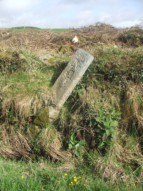
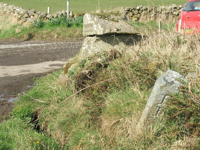
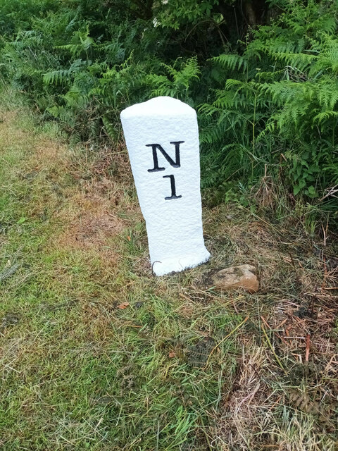
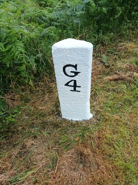
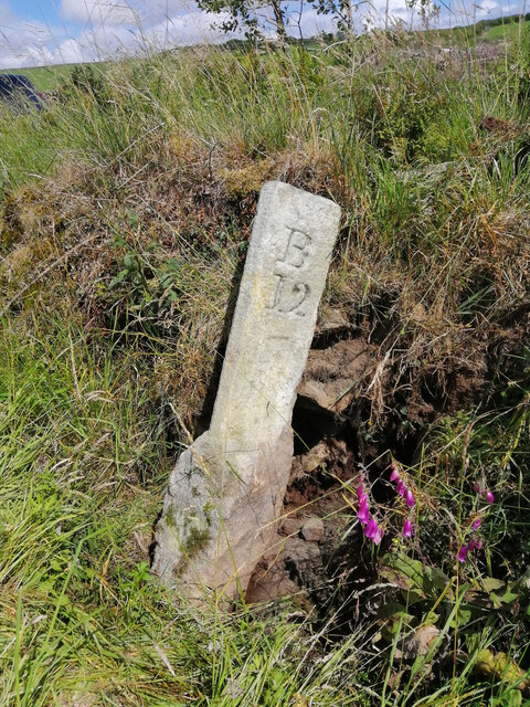
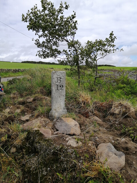
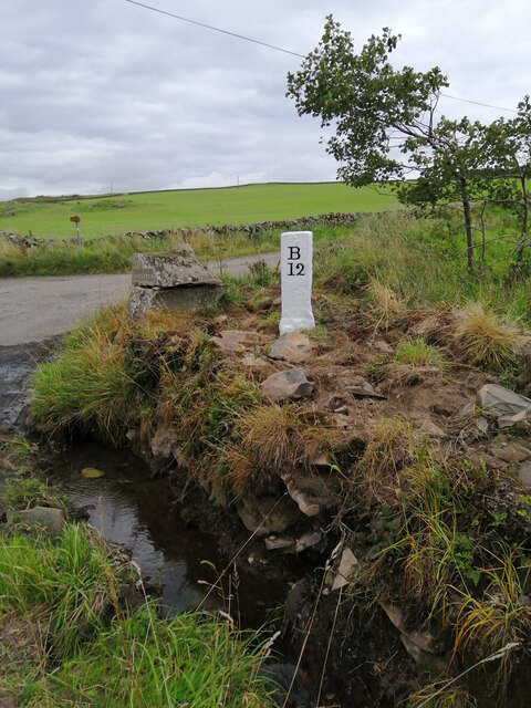
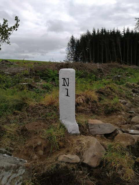
Balneil Plantation Images

Images are sourced within 2km of 54.941047/-4.8435924 or Grid Reference NX1764. Thanks to Geograph Open Source API. All images are credited.

Old milestone Continuing northwards out of New Luce this milestone was spotted leaning precariously at the entrance to Knockiebae.  The full length of the worked stone is seen with a further few centimetres of rough stone at the base.
Old milestone
Continuing northwards out of New Luce this milestone was spotted leaning precariously at the entrance to Knockiebae. The full length of the worked stone is seen with a further few centimetres of rough stone at the base.
Old milestone The milestone just to the south of the entrance to Knockiebae.   The inscription on this face is B/13.   B is for Barrhill which is over the county border in Ayrshire.
Old milestone
The milestone just to the south of the entrance to Knockiebae. The inscription on this face is B/13. B is for Barrhill which is over the county border in Ayrshire.
Old milestone The New Luce milestone 1 mile south of the village on the east side of the UC road to Glenluce.   It is between Cruise Bridge and Cruise.   It has been painted by a Milestone Society member.
Old milestone
The New Luce milestone 1 mile south of the village on the east side of the UC road to Glenluce. It is between Cruise Bridge and Cruise. It has been painted by a Milestone Society member.
Old milestone The Glenluce face of the milestone one mile south of New Luce on the east side of the UC road.  The slightly flattened front edge on this style of Wigtownshire milestone can be seen and at the base some rough unworked stone.    The bottom of a stone that was meant to be set into the ground was not worked.
Old milestone
The Glenluce face of the milestone one mile south of New Luce on the east side of the UC road. The slightly flattened front edge on this style of Wigtownshire milestone can be seen and at the base some rough unworked stone. The bottom of a stone that was meant to be set into the ground was not worked.
Old milestone In August the farmer and a Milestone Society member dug out this milestone, on the unclassified road north of New Luce, from the ditch.  This shows the length of unworked stone needed to set the milestone firmly.  It was decided to put the stone higher up the banking and out of the ditch.
Old milestone
In August the farmer and a Milestone Society member dug out this milestone, on the unclassified road north of New Luce, from the ditch. This shows the length of unworked stone needed to set the milestone firmly. It was decided to put the stone higher up the banking and out of the ditch.
Old milestone Now set higher up out of the wet ditch, the milestone is ready for painting
Old milestone
Now set higher up out of the wet ditch, the milestone is ready for painting
Old milestone Well painted and now a visible feature by the roadside of this UC route north of New Luce to Barrhill in Ayrshire.
Old milestone
Well painted and now a visible feature by the roadside of this UC route north of New Luce to Barrhill in Ayrshire.
Old milestone And to complete the story of this milestone, a view of the New Luce face.
Old milestone
And to complete the story of this milestone, a view of the New Luce face.
The Southern Upland Way near Cruise
The Southern Upland Way near Smithy Hill
The Southern Upland Way near Bennan Hill
The Southern Upland Way near Caves of Kilhern
The Southern Upland Way near Knockcraven
The Southern Upland Way near Dranigower Bridge
The Southern Upland Way near Knockcraven
The road to Balmurrie Featuring a comic road sign.
The road to Balmurrie
Featuring a comic road sign.
Show me another place!

Balneil Plantation is located at Grid Ref: NX1764 (Lat: 54.941047, Lng: -4.8435924)

Unitary Authority: Dumfries and Galloway

Police Authority: Dumfries and Galloway

What 3 Words

///pave.pinch.wriggled. Near Cairnryan, Dumfries & Galloway

Related Wikis

New Luce

New Luce (Scottish Gaelic: Baile Ùr Ghlinn Lus) is a civil parish in Dumfries and Galloway, south-west Scotland. It lies in the traditional county of Wigtownshire...

New Luce railway station

New Luce railway station served the village of New Luce, Dumfries and Galloway, Scotland from 1887 to 1965 on the Girvan and Portpatrick Junction Railway...

Mid Gleniron

Mid Gleniron is a prehistoric site in Dumfries and Galloway used in the Neolithic and Bronze Age. The site is a scheduled ancient monument that comprises...

Glenluce Abbey

Glenluce Abbey, near to Glenluce, Scotland, was a Cistercian monastery called also Abbey of Luce or Vallis Lucis and founded around 1190 by Rolland or...

Glenwhilly railway station

Glenwhilly railway station served the area of Glenwhilly, Dumfries and Galloway, Scotland from 1887 to 1965 on the Girvan and Portpatrick Junction Railway...

Inch, Dumfries and Galloway

Inch is a civil parish in Dumfries and Galloway, southwest Scotland. It lies on the shore of Loch Ryan, in the traditional county of Wigtownshire.The...

Glenluce railway station

Glenluce station was a station open in 1862 on the former Port Road that was constructed on the Portpatrick and Wigtownshire Joint Railway. It served the...

Old Luce

Old Luce is a civil parish in Dumfries and Galloway, Scotland. It lies in the Machars peninsula, in the traditional county of Wigtownshire. The parish...

Nearby Amenities

Located within 500m of 54.941047,-4.8435924
New Luce
Name En: New Luce
Name Gd: Baile Ùr Ghlinn Lus
Place: village
Source: OSODSV
Lat/Long: 54.9425535/-4.8504911
Power: pole
Lat/Long: 54.9446286/-4.8406893
Power: pole
Lat/Long: 54.9437993/-4.8405694
Power: pole
Lat/Long: 54.943163/-4.84048
Power: pole
Lat/Long: 54.9425066/-4.8403907
Power: pole
Lat/Long: 54.9408351/-4.8505351
Power: pole
Lat/Long: 54.9408931/-4.8501172
Power: pole
Lat/Long: 54.9409956/-4.8493402
Power: pole
Lat/Long: 54.9413745/-4.8484575
Power: pole
Lat/Long: 54.9417386/-4.8476053
Power: pole
Lat/Long: 54.9421095/-4.8467461
Power: pole
Lat/Long: 54.9421688/-4.8457577
Power: pole
Lat/Long: 54.9422618/-4.8442646
Power: pole
Lat/Long: 54.9423441/-4.8428584
Power: pole
Lat/Long: 54.9424304/-4.8414451
Power: pole
Lat/Long: 54.9427662/-4.838898
Power: pole
Lat/Long: 54.9430386/-4.8373838
Power: pole
Lat/Long: 54.9404387/-4.8499975
Power: pole
Lat/Long: 54.9399249/-4.8492932
Power: pole
Lat/Long: 54.9393315/-4.8482884
Power: pole
Lat/Long: 54.9386707/-4.8471757
Power: pole
Lat/Long: 54.9380112/-4.8460793
Power: pole
Lat/Long: 54.9375392/-4.8453046
Power: pole
Lat/Long: 54.9409983/-4.8499365
Power: pole
Lat/Long: 54.9411965/-4.8495984
Power: pole
Lat/Long: 54.9414838/-4.8494435
The data included in this document is from www.openstreetmap.org. The data is made available under ODbL.

Have you been to Balneil Plantation?

Leave your review of Balneil Plantation below (or comments, questions and feedback).