Airyhemming Wood
Wood, Forest in Wigtownshire
Scotland
Airyhemming Wood
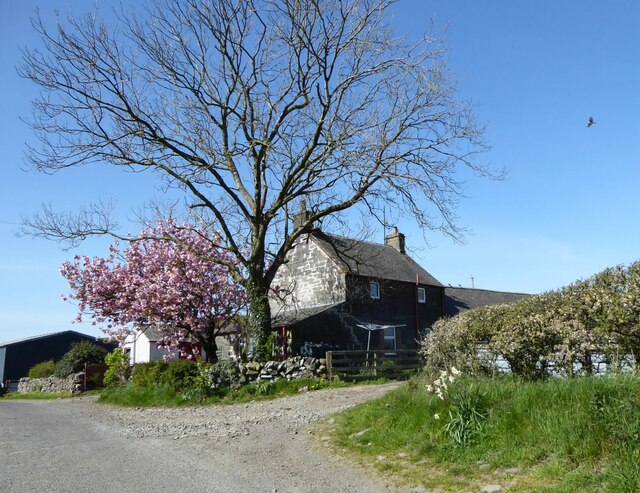
Airyhemming Wood is a picturesque forest located in Wigtownshire, a region in southwestern Scotland. Covering an area of approximately 500 acres, this wood is a haven of natural beauty and tranquility. It is situated near the small village of Airyhemming, which is surrounded by rolling hills and farmland.
The wood is primarily composed of native broadleaf trees such as oak, beech, and birch, creating a diverse and thriving ecosystem. The dense canopy of the forest provides shade and shelter for numerous plant and animal species, making it a popular destination for nature enthusiasts and birdwatchers.
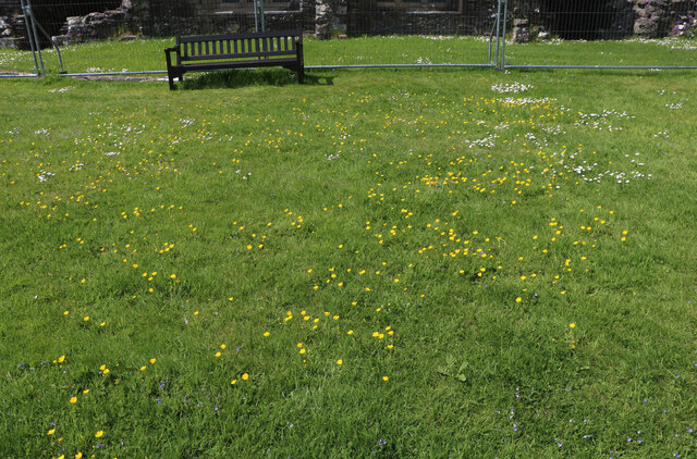
Visitors to Airyhemming Wood can explore a network of well-maintained walking trails that wind through the forest. These paths offer stunning views of the surrounding landscape and allow visitors to immerse themselves in the peaceful ambiance of the wood. Along the trails, benches and picnic areas are strategically placed, providing opportunities for relaxation and contemplation.
The wood is also home to an array of wildlife, including red squirrels, roe deer, and a variety of bird species. Nature lovers may spot woodpeckers, nuthatches, and even elusive owls as they make their way through the forest.
In addition to its natural beauty, Airyhemming Wood has historical significance. It is believed that the wood was once part of a medieval deer park, and remnants of old stone walls can still be found within its boundaries.
Overall, Airyhemming Wood offers visitors a chance to escape the hustle and bustle of everyday life and immerse themselves in the serenity of nature. With its stunning scenery, diverse wildlife, and rich history, it is a truly remarkable destination for those seeking a peaceful retreat.
If you have any feedback on the listing, please let us know in the comments section below.
Airyhemming Wood Images
Images are sourced within 2km of 54.897433/-4.8410464 or Grid Reference NX1759. Thanks to Geograph Open Source API. All images are credited.
Airyhemming Wood is located at Grid Ref: NX1759 (Lat: 54.897433, Lng: -4.8410464)
Unitary Authority: Dumfries and Galloway
Police Authority: Dumfries and Galloway
What 3 Words
///shorten.fixed.kiosk. Near Stranraer, Dumfries & Galloway
Nearby Locations
Related Wikis

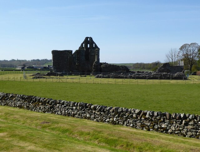
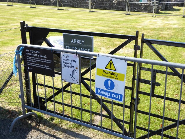
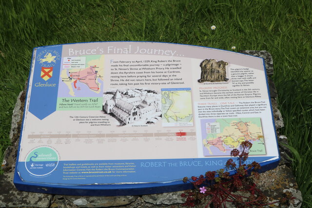
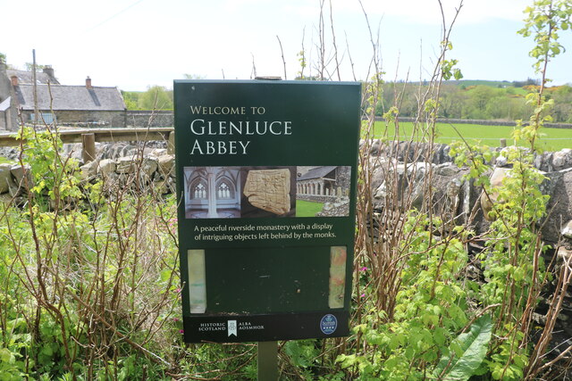
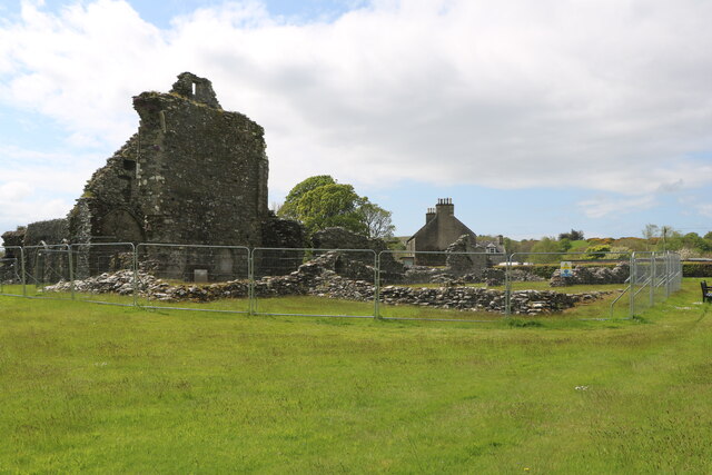
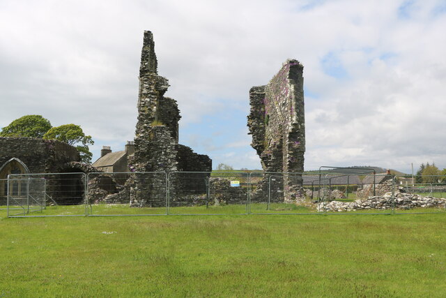
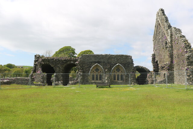
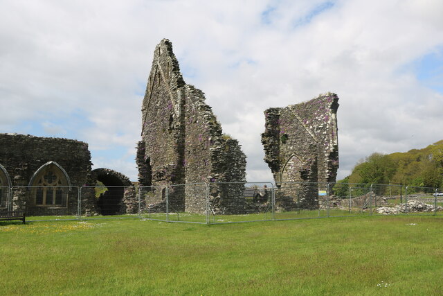
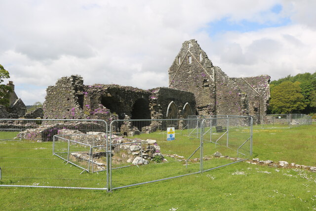
Glenluce Abbey
Glenluce Abbey, near to Glenluce, Scotland, was a Cistercian monastery called also Abbey of Luce or Vallis Lucis and founded around 1190 by Rolland or...

Mid Gleniron
Mid Gleniron is a prehistoric site in Dumfries and Galloway used in the Neolithic and Bronze Age. The site is a scheduled ancient monument that comprises...

Castle of Park
The Castle of Park is a 16th-century L-plan tower house near Glenluce, in the historic county of Wigtownshire in Dumfries and Galloway, Scotland. It...

Glenluce railway station
Glenluce station was a station open in 1862 on the former Port Road that was constructed on the Portpatrick and Wigtownshire Joint Railway. It served the...

Old Luce
Old Luce is a civil parish in Dumfries and Galloway, Scotland. It lies in the Machars peninsula, in the traditional county of Wigtownshire. The parish...

Glenluce
Glenluce (Scottish Gaelic: Clachan Ghlinn Lus) is a small village in the parish of Old Luce in Wigtownshire, Scotland.It contains a village shop,a caravan...
Dunragit
Dunragit (Scottish Gaelic: Dùn Reicheit) is a village on the A75, between Stranraer and Glenluce in Dumfries and Galloway, south-west Scotland. Dunragit...

Dunragit railway station
Dunragit railway station served the village of Dunragit, Dumfries and Galloway, Scotland from 1861 to 1965 on the Portpatrick and Wigtownshire Joint Railway...
Nearby Amenities
Located within 500m of 54.897433,-4.8410464Have you been to Airyhemming Wood?
Leave your review of Airyhemming Wood below (or comments, questions and feedback).