Coille Chalaisgeig
Wood, Forest in Cromartyshire
Scotland
Coille Chalaisgeig

Coille Chalaisgeig, located in the region of Cromartyshire, is a picturesque wood or forest that encompasses an area of approximately [X square kilometers]. It is named after the Gaelic term for "wood of the old Caledonian forest," and its ancient origins are evident in the diverse range of flora and fauna that call it home.
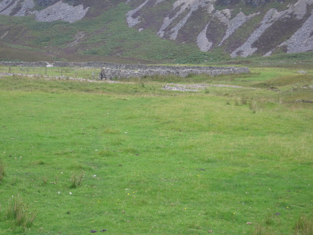
The wood is characterized by its dense canopy of towering trees, primarily consisting of native species such as oak, birch, and pine. These trees provide shelter and a habitat for a variety of wildlife, including red squirrels, roe deer, and a multitude of bird species. Coille Chalaisgeig is particularly renowned for its abundance of birdlife, attracting birdwatchers from far and wide.
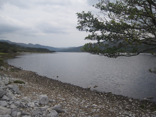
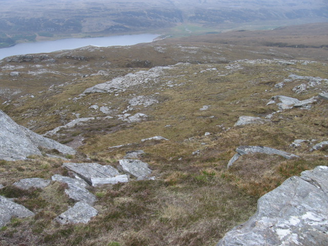
Visitors to the wood can explore a network of well-maintained trails that wind through the forest, allowing for leisurely walks or more challenging hikes. These trails offer breathtaking views of the surrounding landscape, with glimpses of the nearby Cromarty Firth and the distant mountains adding to the natural beauty of the area.
Coille Chalaisgeig is also a site of historical significance, with remnants of ancient settlements and burial grounds dating back centuries. Archeological excavations have unearthed artifacts that shed light on the lives of the early inhabitants of the area, providing a fascinating glimpse into the region's past.
Overall, Coille Chalaisgeig in Cromartyshire is a captivating wood that offers visitors a tranquil escape into nature, abundant wildlife, stunning scenery, and a fascinating historical backdrop.
If you have any feedback on the listing, please let us know in the comments section below.
Coille Chalaisgeig Images
Images are sourced within 2km of 57.904187/-5.0781892 or Grid Reference NH1794. Thanks to Geograph Open Source API. All images are credited.


Coille Chalaisgeig is located at Grid Ref: NH1794 (Lat: 57.904187, Lng: -5.0781892)
Unitary Authority: Highland
Police Authority: Highlands and Islands
What 3 Words
///unto.stadium.reference. Near Ullapool, Highland
Nearby Locations
Related Wikis

Beinn Eilideach
Beinn Eilideach (mountain of hinds) is a mountain near Ullapool in Ross-shire in the Scottish Highlands. It is 559 metres high, and listed as a Marilyn...

Battle of Leckmelm
The Battle of Leckmelm was a Scottish clan battle that took place in 1586, in the Scottish Highlands. It was fought between the Clan Gunn against the Clan...
Leckmelm
Leckmelm (Scottish Gaelic: Leac Mailm) is a small settlement on the eastern shore of Loch Broom, in Wester Ross in the Highland council area of Scotland...

A893 road
The A893 is a trunk road in the Scottish Highlands, located in the small town of Ullapool. It is approximately one-third of a mile (540 m) in length, and...

Lochbroom FM
Lochbroom FM is a radio station based in Ullapool, Wester Ross which in the Highlands of Scotland. A community radio association was formed in 1994. They...
Lochbroom Free Church
The Lochbroom Free Church is a place of worship of the Free Church of Scotland in Ullapool, in the Highland council area of Scotland. The church was built...

Ullapool
Ullapool (; Scottish Gaelic: Ulapul [ˈul̪ˠapʰul̪ˠ]) is a village and port located in Northern Scotland. Ullapool has a population of approximately 1,500...
Rhiroy
Rhiroy is a remote crofting township situated on the west shore of Loch Broom in Garve, Ross-shire, Scottish Highlands and is in the Scottish council area...
Have you been to Coille Chalaisgeig?
Leave your review of Coille Chalaisgeig below (or comments, questions and feedback).