Coille Achadh nan Sabhal
Wood, Forest in Inverness-shire
Scotland
Coille Achadh nan Sabhal

Coille Achadh nan Sabhal, located in Inverness-shire, Scotland, is a picturesque woodland area known for its natural beauty and diverse flora and fauna. Spanning across a vast expanse of land, the forest is a popular destination for nature enthusiasts and those seeking tranquility amidst the lush greenery.
The woodland is characterized by a mix of broadleaf and coniferous trees, creating a stunning contrast of colors throughout the seasons. Towering oak and beech trees provide a rich canopy, while spruce and pine trees dominate the lower levels. This blend of different tree species offers a habitat for a wide range of wildlife.
Visitors to Coille Achadh nan Sabhal can explore the forest through a network of well-maintained trails and paths. These pathways wind through the woodland, allowing visitors to immerse themselves in nature and discover the various plants and animals that call this forest home. Birdwatchers can spot a variety of avian species, including woodpeckers, owls, and finches, while lucky observers may even catch a glimpse of elusive red squirrels or deer.
In addition to its natural beauty, Coille Achadh nan Sabhal also boasts several amenities for visitors. There are picnic areas and benches strategically placed throughout the forest, offering the perfect opportunity to relax and enjoy the peaceful surroundings. Interpretive signs are also present along the trails, providing educational information about the forest and its inhabitants.
Overall, Coille Achadh nan Sabhal is a captivating woodland retreat where visitors can appreciate Scotland's natural treasures and experience the tranquility of a pristine forest environment.
If you have any feedback on the listing, please let us know in the comments section below.
Coille Achadh nan Sabhal Images
Images are sourced within 2km of 56.95748/-5.0141947 or Grid Reference NN1689. Thanks to Geograph Open Source API. All images are credited.


Coille Achadh nan Sabhal is located at Grid Ref: NN1689 (Lat: 56.95748, Lng: -5.0141947)
Unitary Authority: Highland
Police Authority: Highlands and Islands
What 3 Words
///pump.protester.access. Near Gairlochy, Highland
Nearby Locations
Related Wikis
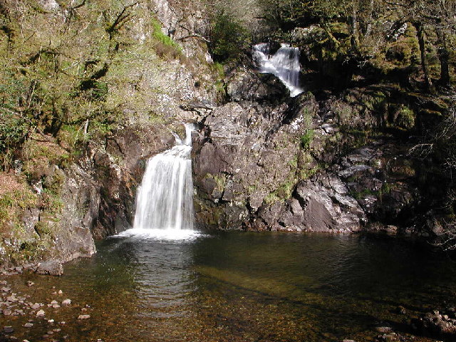
Eas Chia-aig
Eas Chia-aig is a waterfall on the Abhainn Chia-aig, in the Highlands of Scotland. The falls are located between Loch Lochy and Loch Arkaig, near Achnacarry...
Stand-off at the Fords of Arkaig
The Stand-off at the Ford of Arkaig occurred in September 1665 at Achnacarry, about 10 miles (16 km) northeast of Fort William, Scotland. The Chattan Confederation...

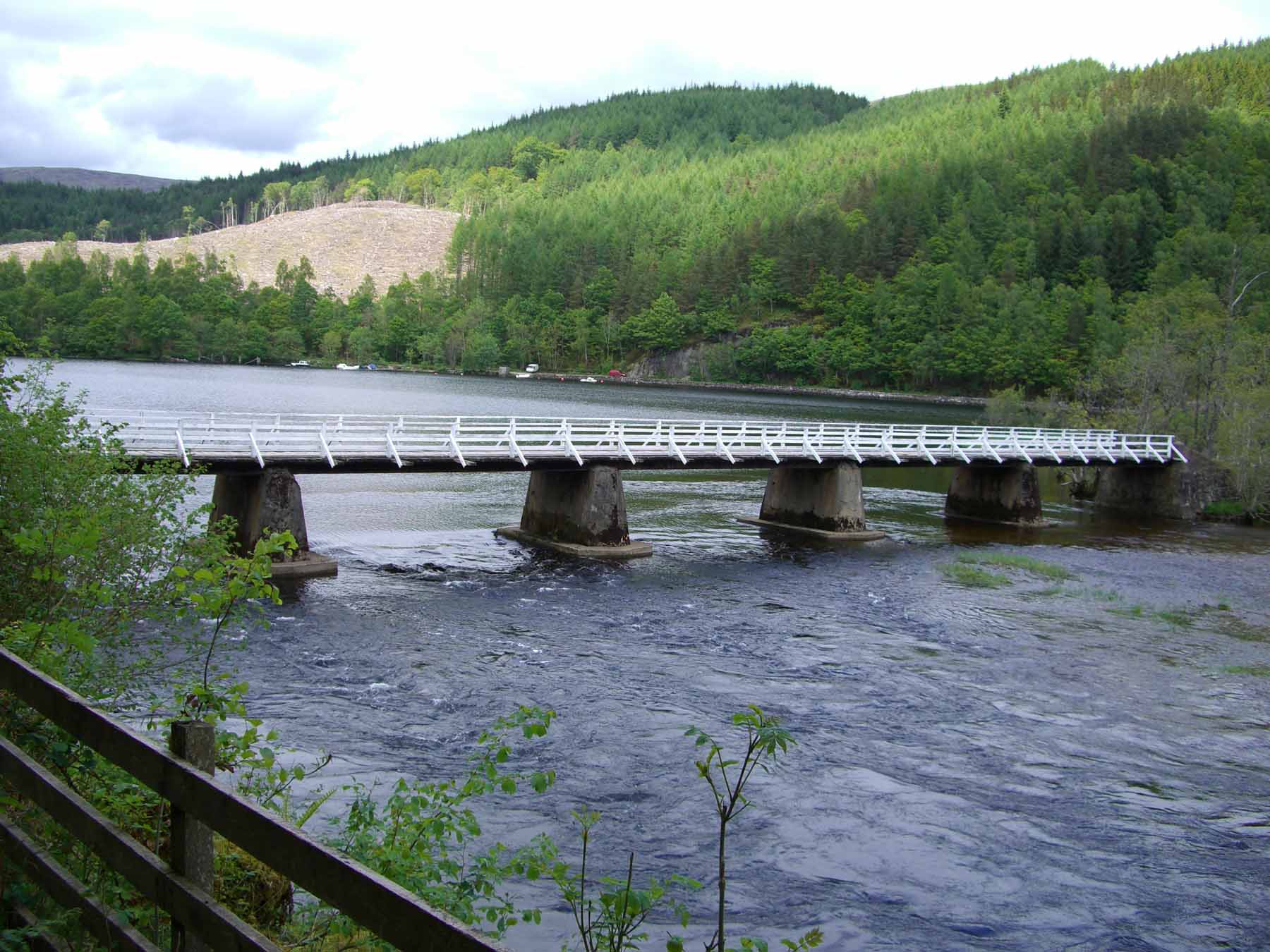
Achnasaul
Achnasaul (Scottish Gaelic: Achadh nan Sabhal) is a village, located on the shores of Loch Arkaig, close to Spean Bridge, Inverness-shire, Scotland, within...
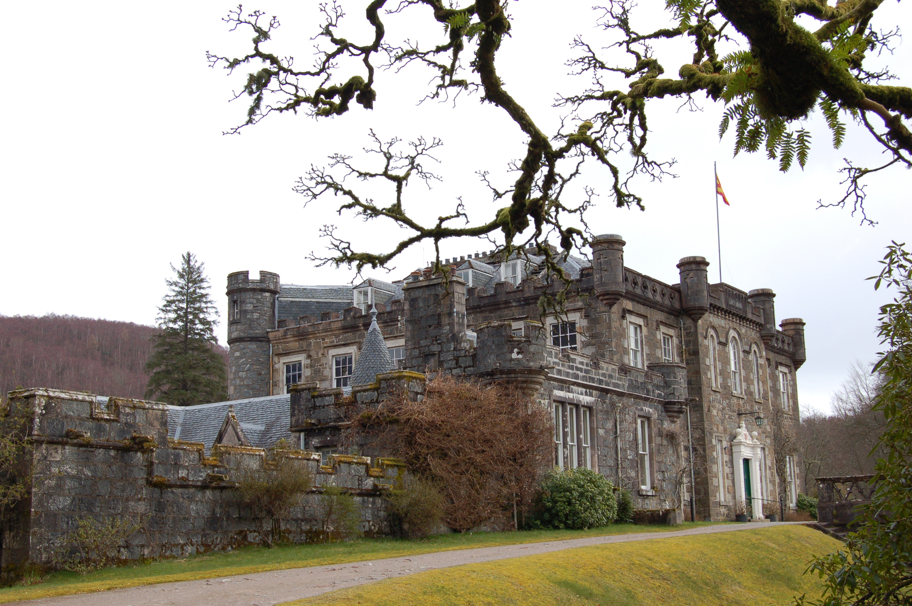
Commando Basic Training Centre (United Kingdom)
The Commando Basic Training Centre was a British Army training establishment primarily for the training of British Commandos during the Second World War...
Nearby Amenities
Located within 500m of 56.95748,-5.0141947Have you been to Coille Achadh nan Sabhal?
Leave your review of Coille Achadh nan Sabhal below (or comments, questions and feedback).