Bad Beithe
Wood, Forest in Argyllshire
Scotland
Bad Beithe
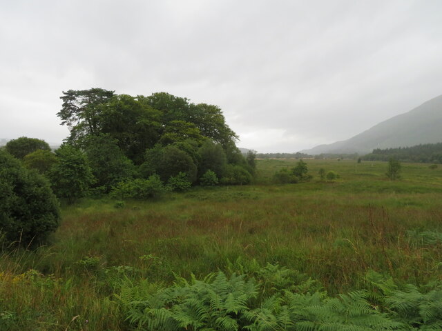
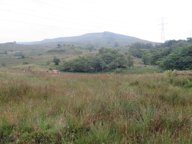
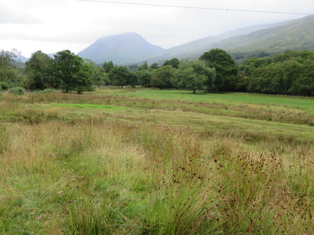
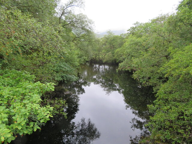
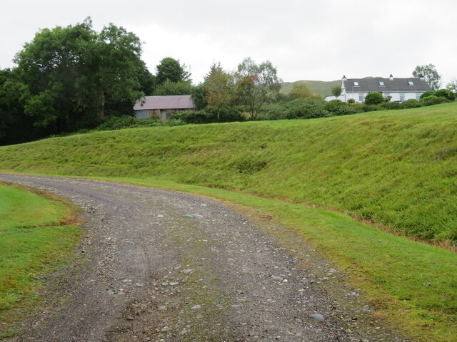
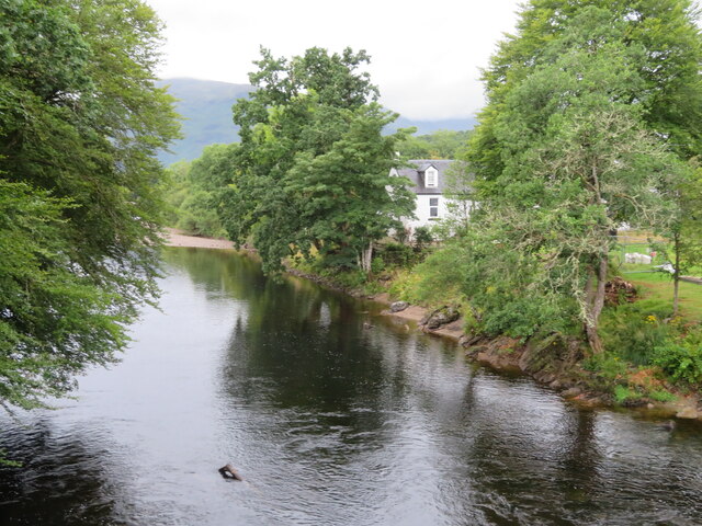
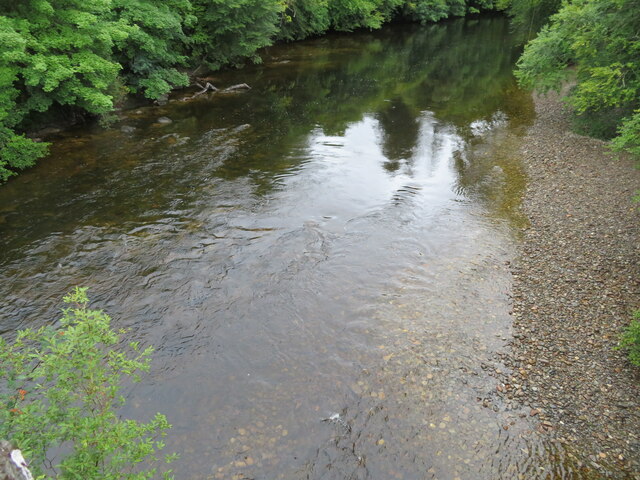
Bad Beithe, located in Argyllshire, Scotland, is a picturesque woodland area known for its rich natural beauty and diverse ecosystem. Situated amidst the breathtaking scenery of the Scottish Highlands, this forested region covers a vast expanse of land, making it an ideal destination for nature enthusiasts and outdoor adventurers.
The woodlands of Bad Beithe are predominantly composed of native tree species such as Scots pine, birch, and oak, which create a dense canopy and provide shelter to a variety of wildlife. The forest floor is carpeted with a vibrant tapestry of mosses, ferns, and wildflowers, adding to the enchanting ambiance of the area.
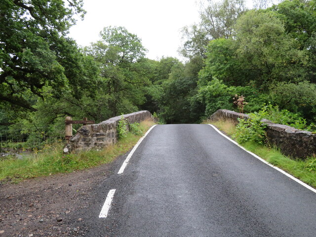
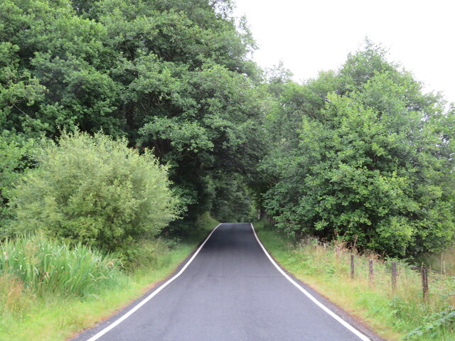
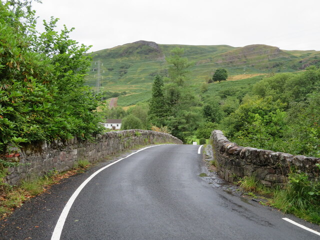
The forest is crisscrossed with a network of well-maintained trails, allowing visitors to explore the beauty of Bad Beithe at their own pace. These paths meander through towering trees, babbling brooks, and hidden clearings, offering glimpses of the stunning vistas that surround the area. Nature lovers can also spot a plethora of bird species, including golden eagles, red kites, and various songbirds, as they soar through the skies or nest among the branches.
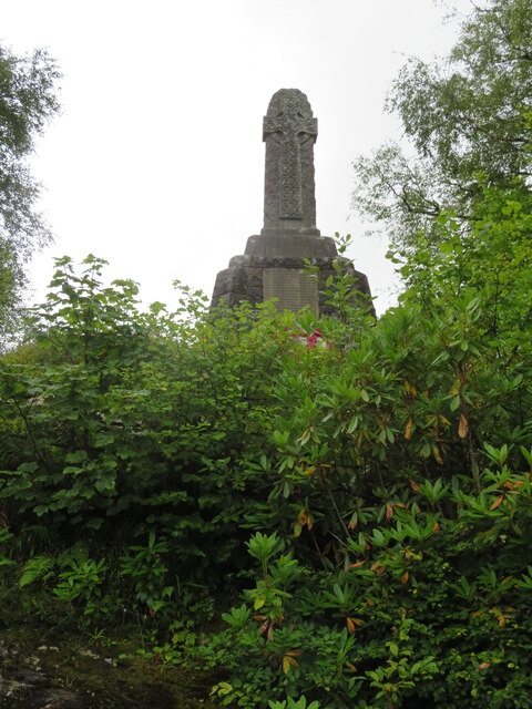
In addition to its natural wonders, Bad Beithe also holds historical significance. The woodland area is home to several ancient ruins and standing stones, providing glimpses into the region's past. The atmosphere is steeped in folklore and legends, further enhancing the mystique of this magical forest.
Overall, Bad Beithe in Argyllshire is a captivating destination that showcases the untamed beauty of the Scottish Highlands. From its lush greenery and diverse wildlife to its historical allure, this wood offers a serene and captivating experience for all who visit.
If you have any feedback on the listing, please let us know in the comments section below.
Bad Beithe Images
Images are sourced within 2km of 56.41244/-4.9828766 or Grid Reference NN1628. Thanks to Geograph Open Source API. All images are credited.
![Hemp Agrimony at Stronmilchan Hemp Agrimony [Eupatorium cannabinum] growing on Strae Bridge. Flowering is finished and the seeds a have a pappus of hairs like some other Asteraceae [e.g. Dandelion]; for detail see <a href="https://www.geograph.org.uk/photo/6930903">NN1429 : Hemp Agrimony at Stronmilchan</a>, and habit and habitat see <a href="https://www.geograph.org.uk/photo/6930888">NN1429 : Strae Bridge at Stronmilchan</a>.](https://s2.geograph.org.uk/geophotos/06/93/08/6930898_bfd496e8.jpg)
![Hemp Agrimony at Stronmilchan Hemp Agrimony [Eupatorium cannabinum] growing on Strae Bridge. Flowering is finished and the seeds a have a pappus of hairs, which helps dispersal, like some other Asteraceae [e.g. Dandelion]; for the whole plant see <a href="https://www.geograph.org.uk/photo/6930898">NN1429 : Hemp Agrimony at Stronmilchan</a>, and habit and habitat see <a href="https://www.geograph.org.uk/photo/6930888">NN1429 : Strae Bridge at Stronmilchan</a>.](https://s3.geograph.org.uk/geophotos/06/93/09/6930903_50a01cb8.jpg)
![Milestone in Strath Orchy D[almal]ly 1; O[ba]N 25; and, on the top, IN[verara]y 16. The next one west is at <a href="https://www.geograph.org.uk/gridref/NN14862657">NN14862657</a>, just visible on StreetView, and a &#039;7&#039; is just readable on the top.](https://s2.geograph.org.uk/geophotos/06/93/16/6931694_fb5142f9.jpg)
Bad Beithe is located at Grid Ref: NN1628 (Lat: 56.41244, Lng: -4.9828766)
Unitary Authority: Argyll and Bute
Police Authority: Argyll and West Dunbartonshire
What 3 Words
///demanding.rails.clogging. Near Tyndrum, Stirling
Nearby Locations
Related Wikis

Dalmally
Dalmally (Scottish Gaelic: Clachan an Dìseirt or Dail Mhàilidh) is a village in Argyll and Bute, Scotland. It is near the A85 road and is served by Dalmally...
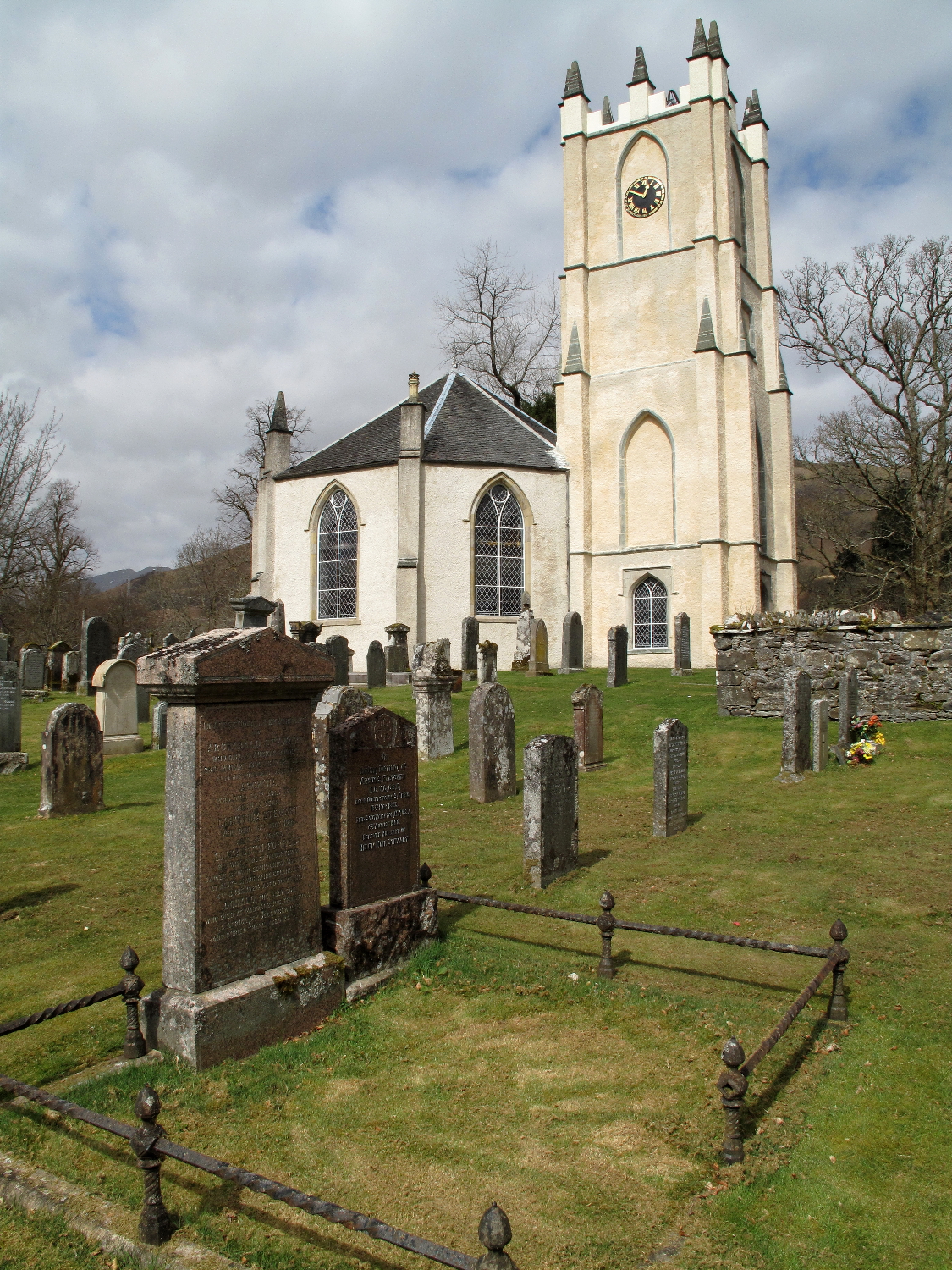
Glenorchy Parish Church
Glenorchy Parish Church is a congregation of the Church of Scotland in the village of Dalmally, Argyll and Bute, Scotland. It is the parish church of the...

Dalmally railway station
Dalmally railway station is a railway station serving the village of Dalmally, near Loch Awe in Scotland. This station is on the Oban branch of the West...

Craig Lodge Community
Craig Lodge Community is a lay community of the Roman Catholic Church based in Dalmally, Argyll in the west Highlands of Scotland. == History == Craig...
Nearby Amenities
Located within 500m of 56.41244,-4.9828766Have you been to Bad Beithe?
Leave your review of Bad Beithe below (or comments, questions and feedback).