Bad Darach
Wood, Forest in Argyllshire
Scotland
Bad Darach
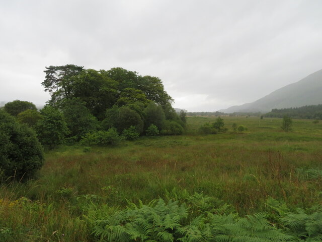
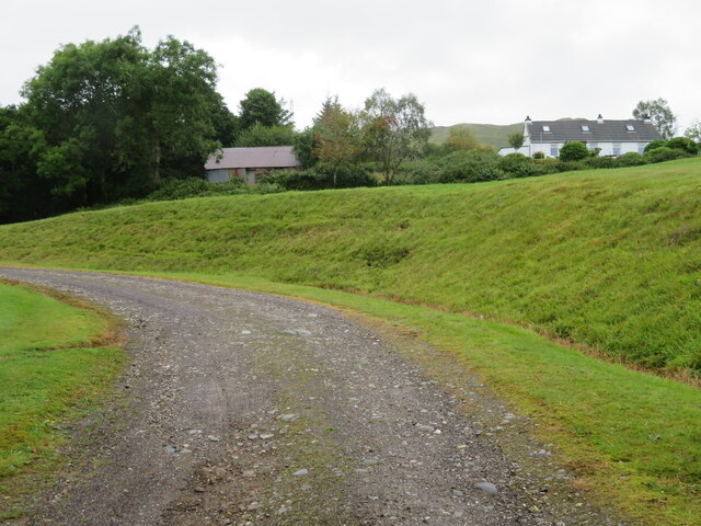
Bad Darach, located in Argyllshire, Scotland, is a picturesque woodland area known for its dense forests and natural beauty. The name "Bad Darach" translates to "Wood" or "Forest" in Gaelic, which aptly describes the landscape of this region.
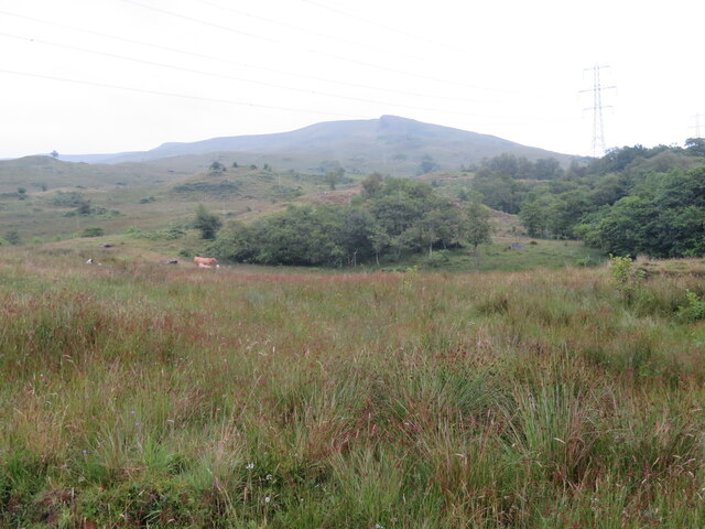
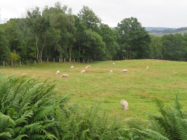
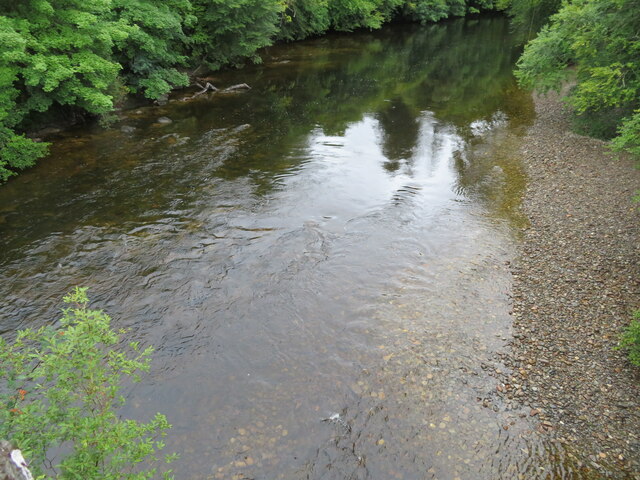
Covering an expansive area, Bad Darach boasts a variety of tree species, including oak, birch, and pine, which contribute to the rich biodiversity found within the forest. The dense vegetation provides a habitat for numerous wildlife species, making it a popular destination for nature lovers and wildlife enthusiasts.
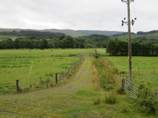
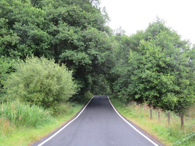
The woodland is crisscrossed by a network of well-marked walking trails, allowing visitors to explore the area at their own pace. These trails range in difficulty and length, catering to both casual walkers and experienced hikers. Along the way, visitors can enjoy breathtaking views of the surrounding hills and valleys, as well as the serene tranquility that the forest offers.
Bad Darach is also home to several recreational activities, including camping, picnicking, and birdwatching. The forest's secluded atmosphere makes it an ideal spot for those seeking peace and solitude. Bird enthusiasts will especially appreciate the opportunity to spot various species, such as the rare Scottish crossbill or the elusive capercaillie.
Overall, Bad Darach in Argyllshire is a captivating woodland area that offers visitors a chance to immerse themselves in nature's splendor. Whether it is hiking among towering trees, observing wildlife, or simply enjoying the serenity, this forest provides a memorable experience for all who venture into its depths.
If you have any feedback on the listing, please let us know in the comments section below.
Bad Darach Images
Images are sourced within 2km of 56.401796/-4.9844263 or Grid Reference NN1527. Thanks to Geograph Open Source API. All images are credited.
![Milestone in Strath Orchy D[almal]ly 1; O[ba]N 25; and, on the top, IN[verara]y 16. The next one west is at <a href="https://www.geograph.org.uk/gridref/NN14862657">NN14862657</a>, just visible on StreetView, and a &#039;7&#039; is just readable on the top.](https://s2.geograph.org.uk/geophotos/06/93/16/6931694_fb5142f9.jpg)


Bad Darach is located at Grid Ref: NN1527 (Lat: 56.401796, Lng: -4.9844263)
Unitary Authority: Argyll and Bute
Police Authority: Argyll and West Dunbartonshire
What 3 Words
///crystals.hoofs.sapping. Near Tyndrum, Stirling
Nearby Locations
Related Wikis

Dalmally railway station
Dalmally railway station is a railway station serving the village of Dalmally, near Loch Awe in Scotland. This station is on the Oban branch of the West...

Dalmally
Dalmally (Scottish Gaelic: Clachan an Dìseirt or Dail Mhàilidh) is a village in Argyll and Bute, Scotland. It is near the A85 road and is served by Dalmally...
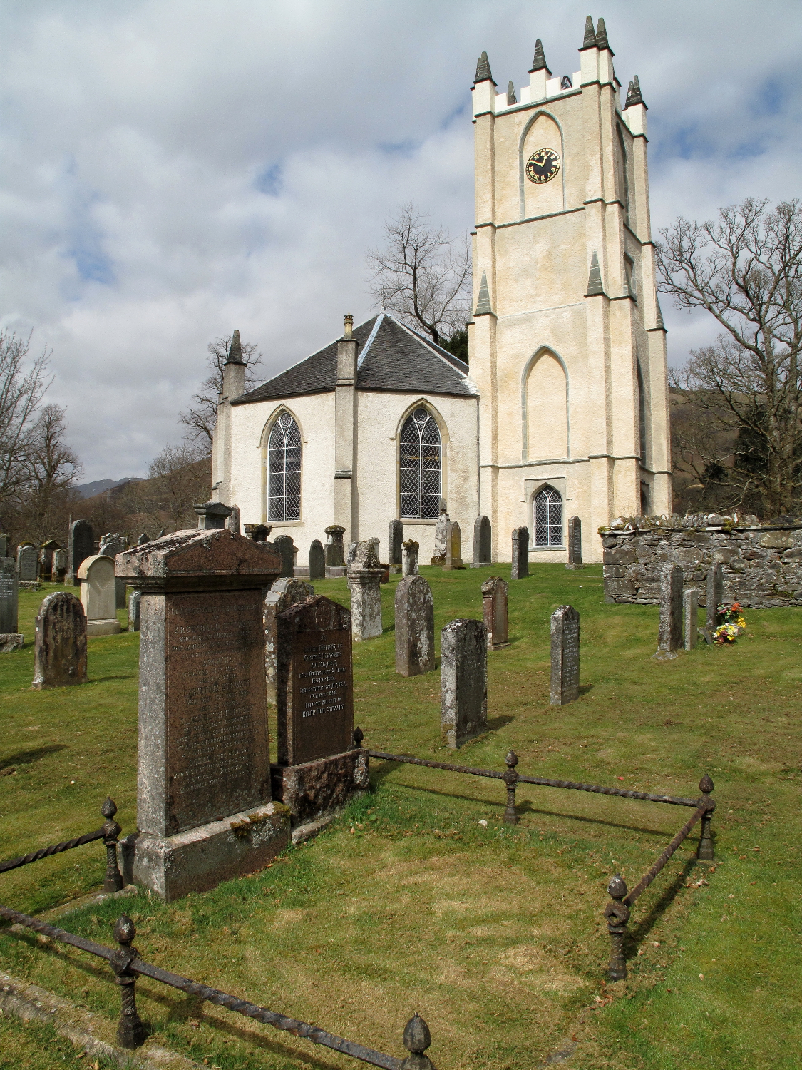
Glenorchy Parish Church
Glenorchy Parish Church is a congregation of the Church of Scotland in the village of Dalmally, Argyll and Bute, Scotland. It is the parish church of the...

Craig Lodge Community
Craig Lodge Community is a lay community of the Roman Catholic Church based in Dalmally, Argyll in the west Highlands of Scotland. == History == Craig...

Kilchurn Castle
Kilchurn Castle () is a ruined structure on a rocky peninsula at the northeastern end of Loch Awe, in Argyll and Bute, Scotland. It was first constructed...
River Lochy (Glen Lochy)
The River Lochy flows west through Glen Lochy from Loch Bhe to the River Orchy and hence Lochawe in the West Highlands of Scotland. The A85 road parallels...
Loch Awe railway station
Loch Awe railway station is a railway station serving the village of Lochawe, on the northern bank of Loch Awe, in western Scotland. This station is on...

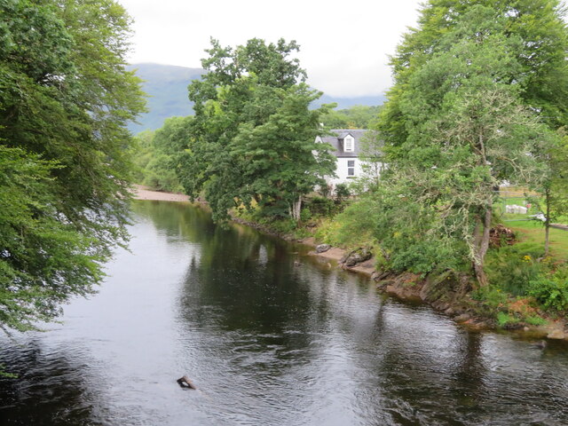
River Orchy
The River Orchy (Scottish Gaelic: Urchaidh / Abhainn Urchaidh) is a river that passes through the village of Dalmally, Argyll in the West Highlands of...
Nearby Amenities
Located within 500m of 56.401796,-4.9844263Have you been to Bad Darach?
Leave your review of Bad Darach below (or comments, questions and feedback).