Brown Hill Plantation

Wood, Forest in Wigtownshire

Scotland

Brown Hill Plantation

Old milestone Continuing northwards out of New Luce this milestone was spotted leaning precariously at the entrance to Knockiebae.  The full length of the worked stone is seen with a further few centimetres of rough stone at the base.
Old milestone Credit: Chris Minto

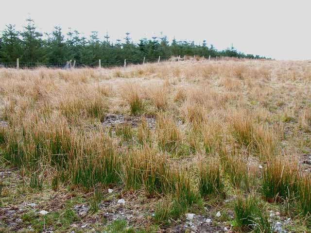
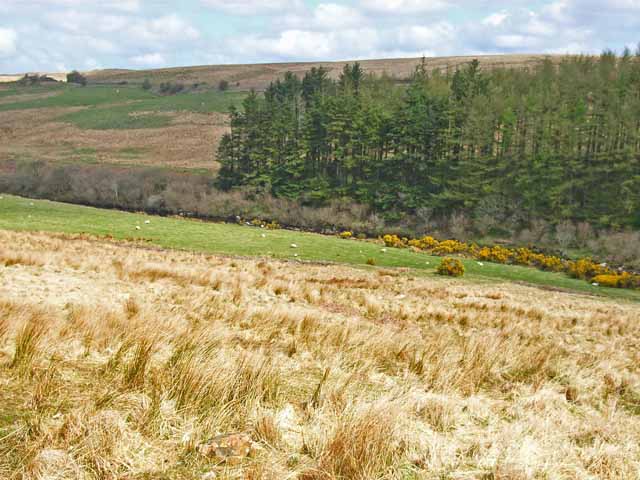
Brown Hill Plantation is a sprawling wood located in Wigtownshire, a historic region in southwestern Scotland. Covering an area of approximately 500 acres, the plantation boasts a diverse range of trees and vegetation, making it a significant forested area in the region.

The woodland is primarily composed of native tree species such as oak, beech, and birch, creating a rich and vibrant ecosystem. These trees provide vital habitats for a variety of wildlife, including birds, mammals, and insects. The plantation is particularly known for its bird population, attracting species such as woodpeckers, owls, and various songbirds.

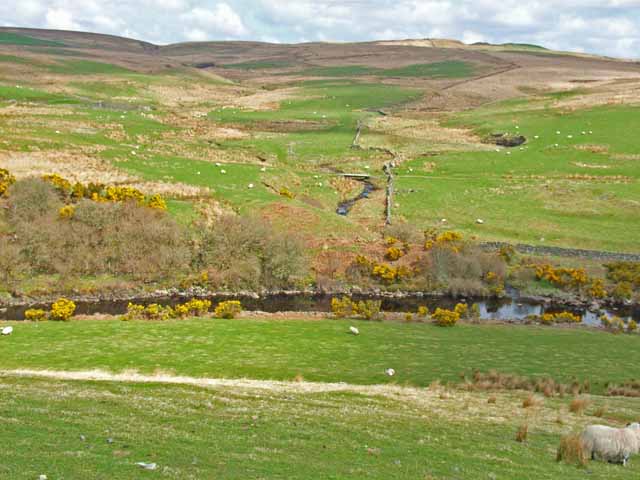
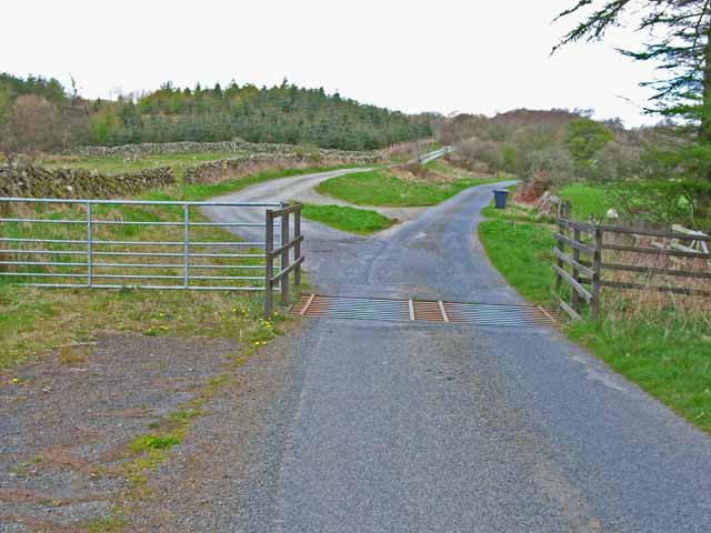
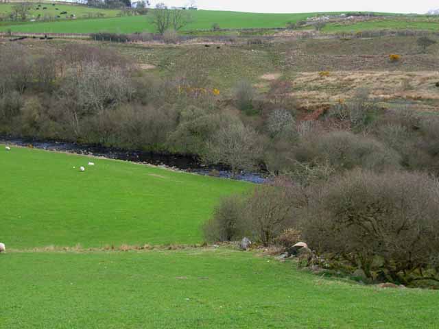
Brown Hill Plantation offers a tranquil and picturesque setting, with its well-maintained pathways and trails inviting visitors to explore its natural beauty. The wood is a popular destination for nature enthusiasts, hikers, and those seeking respite from the hustle and bustle of daily life.

Managed by local authorities, the plantation ensures the conservation and preservation of its natural resources. The management practices include selective tree felling to maintain a healthy and sustainable woodland. Additionally, the plantation serves as an educational resource, providing opportunities for schools and community groups to learn about forestry and ecology.

Overall, Brown Hill Plantation is an important woodland in Wigtownshire, providing a haven for wildlife, recreational activities, and education. Its diverse range of trees, scenic trails, and commitment to sustainable management make it a cherished natural asset in the region.

If you have any feedback on the listing, please let us know in the comments section below.

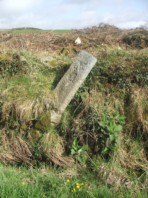
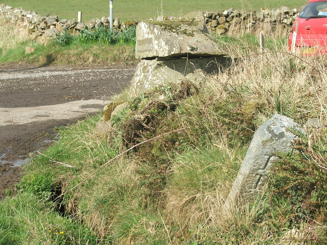
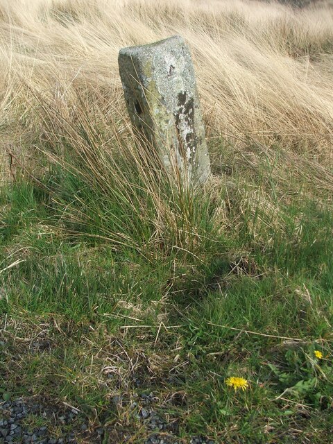
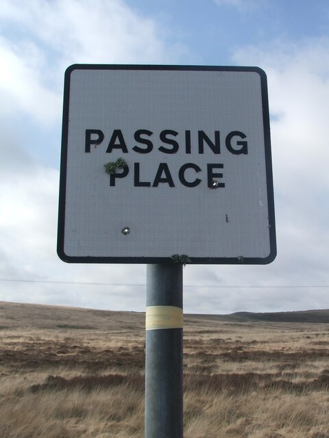
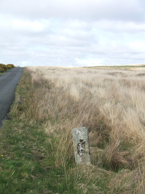
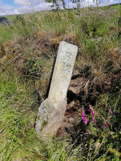
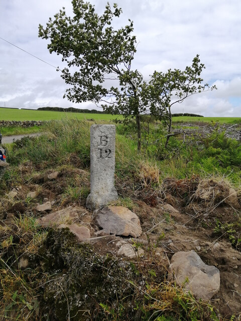
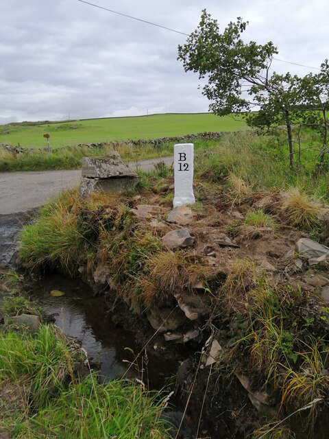
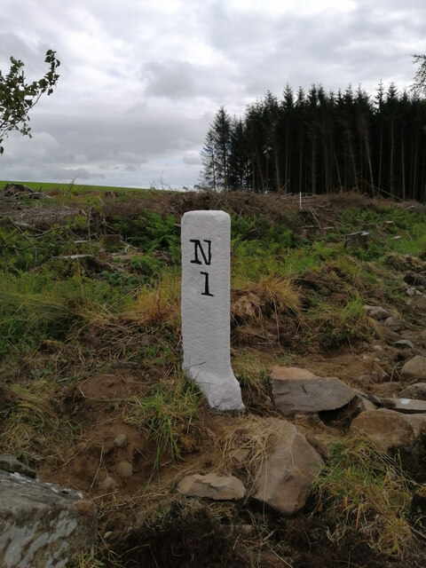
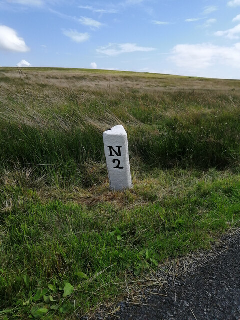
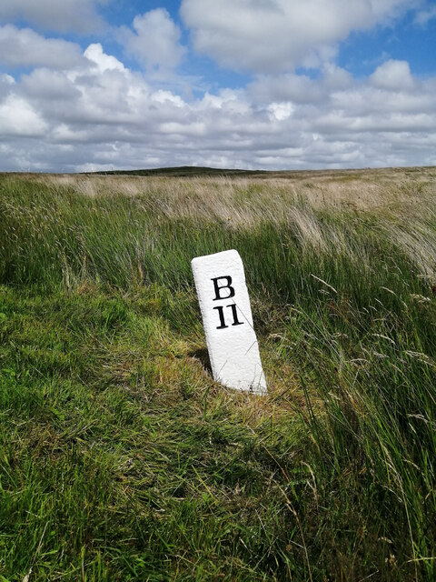
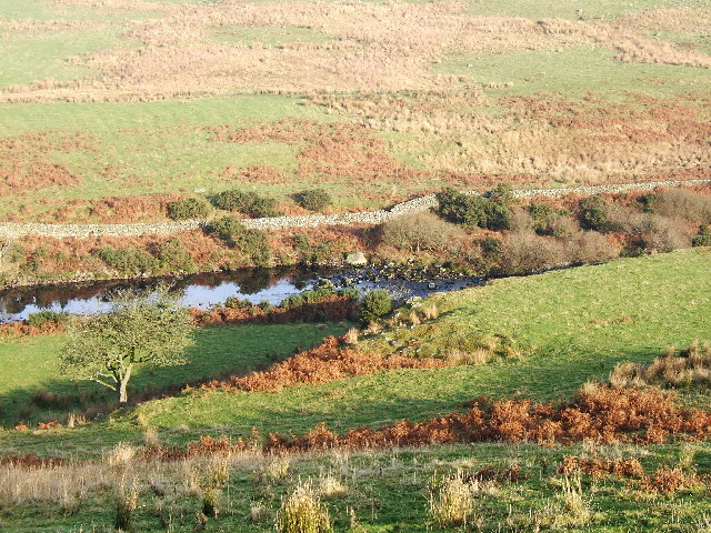
Brown Hill Plantation Images

Images are sourced within 2km of 54.961266/-4.8775658 or Grid Reference NX1566. Thanks to Geograph Open Source API. All images are credited.

Old milestone Continuing northwards out of New Luce this milestone was spotted leaning precariously at the entrance to Knockiebae.  The full length of the worked stone is seen with a further few centimetres of rough stone at the base.
Old milestone
Continuing northwards out of New Luce this milestone was spotted leaning precariously at the entrance to Knockiebae. The full length of the worked stone is seen with a further few centimetres of rough stone at the base.
Old milestone The milestone just to the south of the entrance to Knockiebae.   The inscription on this face is B/13.   B is for Barrhill which is over the county border in Ayrshire.
Old milestone
The milestone just to the south of the entrance to Knockiebae. The inscription on this face is B/13. B is for Barrhill which is over the county border in Ayrshire.
Old milestone Almost at the top of Lagnabenae is the milestone 2 miles north of New Luce with Barrhill 12 miles away.
Old milestone
Almost at the top of Lagnabenae is the milestone 2 miles north of New Luce with Barrhill 12 miles away.
Road sign This Passing Place is opposite the New Luce 2 milestone.   When old signs are replaced the plate is set square.   The older signs have the plate rotated 90 degrees, corners top, bottom and each side.
Road sign
This Passing Place is opposite the New Luce 2 milestone. When old signs are replaced the plate is set square. The older signs have the plate rotated 90 degrees, corners top, bottom and each side.
Old milestone There is the New Luce 2/Barrhill 12 milestone just south of the brow of the hill.
Old milestone
There is the New Luce 2/Barrhill 12 milestone just south of the brow of the hill.
Old milestone In August the farmer and a Milestone Society member dug out this milestone, on the unclassified road north of New Luce, from the ditch.  This shows the length of unworked stone needed to set the milestone firmly.  It was decided to put the stone higher up the banking and out of the ditch.
Old milestone
In August the farmer and a Milestone Society member dug out this milestone, on the unclassified road north of New Luce, from the ditch. This shows the length of unworked stone needed to set the milestone firmly. It was decided to put the stone higher up the banking and out of the ditch.
Old milestone Now set higher up out of the wet ditch, the milestone is ready for painting
Old milestone
Now set higher up out of the wet ditch, the milestone is ready for painting
Old milestone Well painted and now a visible feature by the roadside of this UC route north of New Luce to Barrhill in Ayrshire.
Old milestone
Well painted and now a visible feature by the roadside of this UC route north of New Luce to Barrhill in Ayrshire.
Old milestone And to complete the story of this milestone, a view of the New Luce face.
Old milestone
And to complete the story of this milestone, a view of the New Luce face.
Old milestone In July a Milestone Society member was busy painting the milestones north of New Luce on the unclassified road to Barrhill in Ayrshire.   This one, 2 miles from New Luce, near the Passing Place sign is now quite visible to passers-by.
Old milestone
In July a Milestone Society member was busy painting the milestones north of New Luce on the unclassified road to Barrhill in Ayrshire. This one, 2 miles from New Luce, near the Passing Place sign is now quite visible to passers-by.
Old milestone The Barrhill face of this newly painted milestone with long grass cleared away.
Old milestone
The Barrhill face of this newly painted milestone with long grass cleared away.
The River Luce valley about 3 km North of New Luce village. The valley of the River Luce taken on a lovely November morning after the mist had cleared.
The River Luce valley about 3 km North of New Luce village.
The valley of the River Luce taken on a lovely November morning after the mist had cleared.
Farm road to Cairnerzean
Moorland and shelter belt Just off the New Luce to Penwhirn road
Moorland and shelter belt
Just off the New Luce to Penwhirn road
Looking across the Luce valley Seen from the New Luce to Penwhirn road
Looking across the Luce valley
Seen from the New Luce to Penwhirn road
Cattle grid on the New Luce to Penwhirn road Farm road to Little Larg off to the left.
Cattle grid on the New Luce to Penwhirn road
Farm road to Little Larg off to the left.
Main Water of Luce Seen from the New Luce to Penwhirn road. The 1995 Landranger map shows a bridge over the river at this point, but I could see no signs of it now.
Main Water of Luce
Seen from the New Luce to Penwhirn road. The 1995 Landranger map shows a bridge over the river at this point, but I could see no signs of it now.
Valley of the Main Water of Luce Seen from the New Luce to Penwhirn road.
Valley of the Main Water of Luce
Seen from the New Luce to Penwhirn road.
Show me another place!

Brown Hill Plantation is located at Grid Ref: NX1566 (Lat: 54.961266, Lng: -4.8775658)

Unitary Authority: Dumfries and Galloway

Police Authority: Dumfries and Galloway

What 3 Words

///wiggly.verifying.keys. Near Cairnryan, Dumfries & Galloway

Related Wikis

New Luce railway station

New Luce railway station served the village of New Luce, Dumfries and Galloway, Scotland from 1887 to 1965 on the Girvan and Portpatrick Junction Railway...

New Luce

New Luce (Scottish Gaelic: Baile Ùr Ghlinn Lus) is a civil parish in Dumfries and Galloway, south-west Scotland. It lies in the traditional county of Wigtownshire...

Glenwhilly railway station

Glenwhilly railway station served the area of Glenwhilly, Dumfries and Galloway, Scotland from 1887 to 1965 on the Girvan and Portpatrick Junction Railway...

Penwhirn Reservoir

Penwhirn Reservoir, is a reservoir in Dumfries and Galloway, Scotland, approximately 3.5 miles (6 km) east of Cairnryan. The reservoir was built in the...

Nearby Amenities

Located within 500m of 54.961266,-4.8775658
Power: pole
Lat/Long: 54.9568632/-4.8783156
Power: pole
Lat/Long: 54.9573727/-4.8792993
Power: pole
Lat/Long: 54.95792/-4.8803933
Power: pole
Lat/Long: 54.9584403/-4.8814896
Power: pole
Lat/Long: 54.9588595/-4.882161
Power: pole
Lat/Long: 54.9592989/-4.8828794
Power: pole
Lat/Long: 54.9599405/-4.88391
Power: pole
Lat/Long: 54.9605039/-4.8848209
The data included in this document is from www.openstreetmap.org. The data is made available under ODbL.

Have you been to Brown Hill Plantation?

Leave your review of Brown Hill Plantation below (or comments, questions and feedback).