Bareagle Forest

Wood, Forest in Wigtownshire

Scotland

Bareagle Forest

Dunragit House Dunragit House, an 18th Century mansion close by the village of Dunragit on the A75 Stranraer road. The old main road has now been replaced as the main traffic route by a new bypass. The grand mansion house itself is now split into several separate private dwellings. There is evidence of a Neolithic settlement close by in Dunragit wood and the site is of historic interest.
Dunragit House Credit: Mr S Mudgey

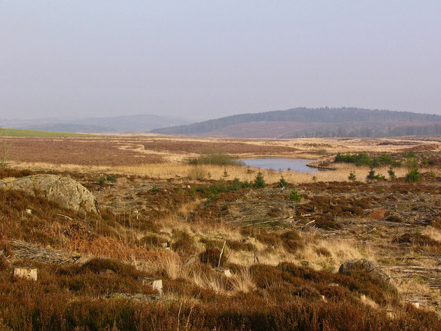
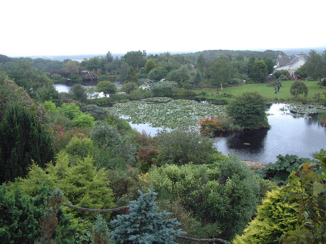
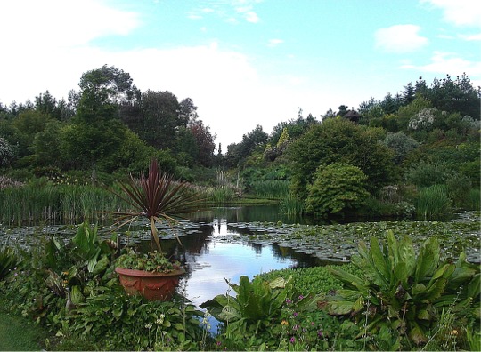
Bareagle Forest is a picturesque woodland located in Wigtownshire, Scotland. Spread across an area of approximately 500 acres, this forest is a haven for nature enthusiasts and outdoor adventurers alike. The forest is situated in the southwest of Scotland, near the village of Bareagle, and is easily accessible from the nearby town of Newton Stewart.

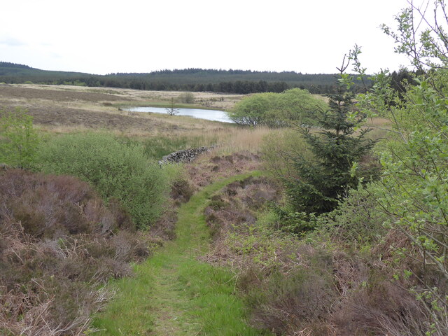
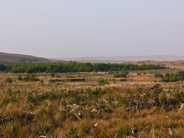
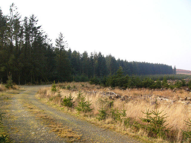
Bareagle Forest is characterized by its diverse range of tree species, including oak, birch, and pine, providing a stunning display of colors throughout the year. The forest is home to a rich variety of wildlife, with numerous species of birds, mammals, and insects inhabiting its lush surroundings. Visitors to the forest can expect to spot red squirrels, roe deer, and a wide array of bird species, making it an ideal location for birdwatching and wildlife photography.

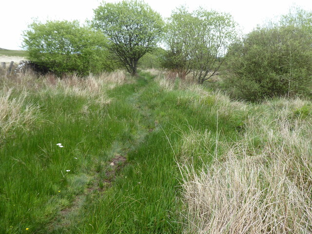
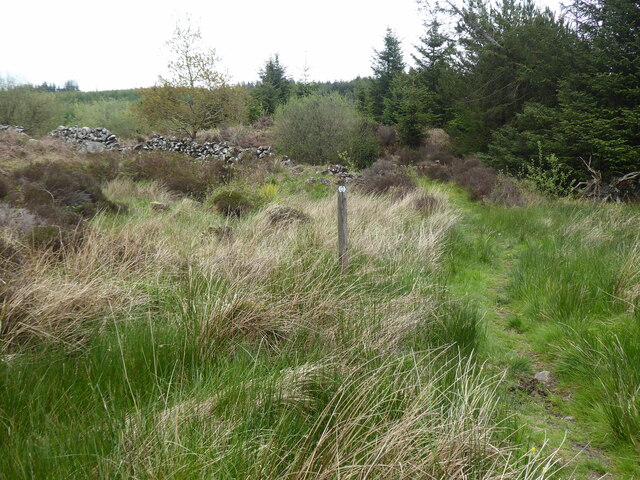
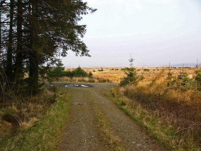
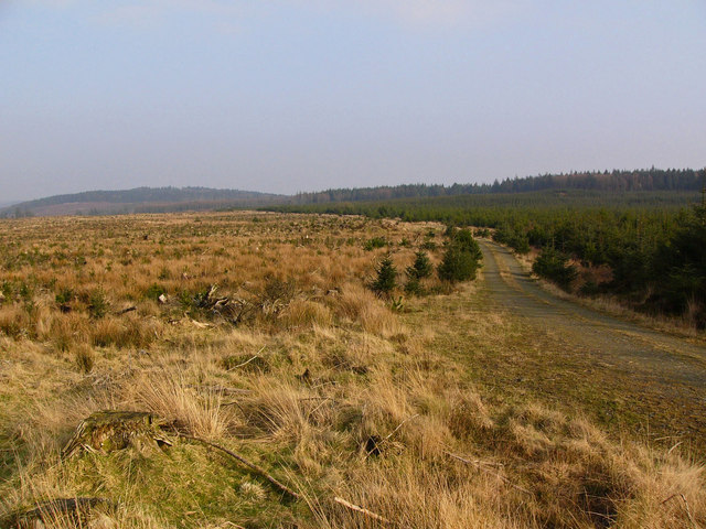
The forest offers a network of well-maintained trails that wind through its enchanting landscape, allowing visitors to explore its beauty on foot or by bike. There are also designated picnic areas and benches, providing opportunities for visitors to relax and immerse themselves in the tranquility of the forest.

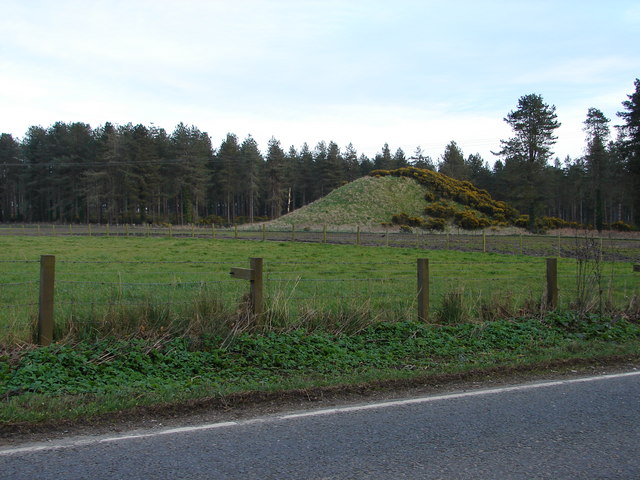
Bareagle Forest also holds historical significance, with remnants of ancient settlements and burial sites dating back thousands of years. Archaeological enthusiasts can embark on a journey through time by exploring these fascinating historical sites within the forest.

Overall, Bareagle Forest is a captivating destination for those seeking solace in nature, offering breathtaking scenery, diverse wildlife, and a glimpse into the past. Whether for a leisurely stroll or an adventurous hike, this forest promises an unforgettable experience for all who visit.

If you have any feedback on the listing, please let us know in the comments section below.

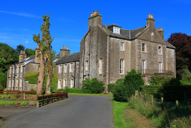
Bareagle Forest Images

Images are sourced within 2km of 54.895566/-4.8745137 or Grid Reference NX1559. Thanks to Geograph Open Source API. All images are credited.

Dunragit House Dunragit House, an 18th Century mansion close by the village of Dunragit on the A75 Stranraer road. The old main road has now been replaced as the main traffic route by a new bypass. The grand mansion house itself is now split into several separate private dwellings. There is evidence of a Neolithic settlement close by in Dunragit wood and the site is of historic interest.
Dunragit House
Dunragit House, an 18th Century mansion close by the village of Dunragit on the A75 Stranraer road. The old main road has now been replaced as the main traffic route by a new bypass. The grand mansion house itself is now split into several separate private dwellings. There is evidence of a Neolithic settlement close by in Dunragit wood and the site is of historic interest.
The Southern Upland Way near Glenwhan Lochs
The Southern Upland Way near Glenwhan Moor
The Southern Upland Way near Craig Burn
Forestry road near Glenwhan Lochs
Forestry Road near Glenwhan Lochs
Glenwhan Lochs Also called the Lochs of the Eyes (Eyes is an Old Scots word for springs or wells). Only one of the lochs is visible in this view.
Glenwhan Lochs
Also called the Lochs of the Eyes (Eyes is an Old Scots word for springs or wells). Only one of the lochs is visible in this view.
Cut timber Good quality timber left to rot beside the road. Modern timber harvesting can be very wasteful.
Cut timber
Good quality timber left to rot beside the road. Modern timber harvesting can be very wasteful.
Forestry near Glenwhan Lochs
Glenwhan Lochs Looking east over Glenwhan Moor towards Craig Fell.
Glenwhan Lochs
Looking east over Glenwhan Moor towards Craig Fell.
Open moorland near Airyolland The windfarm at Artfield Fell is in the far distance.
Open moorland near Airyolland
The windfarm at Artfield Fell is in the far distance.
Drumnahern The green ridge is a drumlin, called Drumnahern (ridge of the cairn).
Drumnahern
The green ridge is a drumlin, called Drumnahern (ridge of the cairn).
From the Southern Upland Way Between Glenwhan Lochs and Craig Fell. The path runs along the right hand side of the dyke.
From the Southern Upland Way
Between Glenwhan Lochs and Craig Fell. The path runs along the right hand side of the dyke.
Mud and Timber Clearfelling is a messy business.
Mud and Timber
Clearfelling is a messy business.
Drystane Dyke, Glenwhan Moor Emerging into the daylight after 3 decades hidden amongst the sitka spruce, much of this dyke remains in pretty good shape. There is a lot of recent storm damage in the remaining stands of conifers.
Drystane Dyke, Glenwhan Moor
Emerging into the daylight after 3 decades hidden amongst the sitka spruce, much of this dyke remains in pretty good shape. There is a lot of recent storm damage in the remaining stands of conifers.
Storm damage in the forest The map shows a path connecting two forestry roads and I had intended to follow it through the forest to complete a circular walk. However, extensive areas of windblown trees blocked the way, and the nearer the second road I got the worse it became until it was totally impassable. I got to within 50 yards of my destination but was becoming exhausted, and was forced to turn back and retrace my steps along the 4 miles of forestry road that I had already travelled.
Storm damage in the forest
The map shows a path connecting two forestry roads and I had intended to follow it through the forest to complete a circular walk. However, extensive areas of windblown trees blocked the way, and the nearer the second road I got the worse it became until it was totally impassable. I got to within 50 yards of my destination but was becoming exhausted, and was forced to turn back and retrace my steps along the 4 miles of forestry road that I had already travelled.
Glenwhan Gardens, Dunragit, - Wigtownshire Remarkable gardens reclaimed from peat land.
Glenwhan Gardens, Dunragit, - Wigtownshire
Remarkable gardens reclaimed from peat land.
Glenwhan Garden
Glenwhan Garden
Show me another place!

Bareagle Forest is located at Grid Ref: NX1559 (Lat: 54.895566, Lng: -4.8745137)

Unitary Authority: Dumfries and Galloway

Police Authority: Dumfries and Galloway

What 3 Words

///undertone.revisits.taped. Near Stranraer, Dumfries & Galloway

Related Wikis

Dunragit

Dunragit (Scottish Gaelic: Dùn Reicheit) is a village on the A75, between Stranraer and Glenluce in Dumfries and Galloway, south-west Scotland. Dunragit...

Dunragit railway station

Dunragit railway station served the village of Dunragit, Dumfries and Galloway, Scotland from 1861 to 1965 on the Portpatrick and Wigtownshire Joint Railway...

Droughdool Mote

Droughdool Mote (also spelled Droughduil) (grid reference NX 14823 56865) is a Neolithic round mound in the parish of Old Luce, Wigtownshire, Dumfries...

Glenluce Abbey

Glenluce Abbey, near to Glenluce, Scotland, was a Cistercian monastery called also Abbey of Luce or Vallis Lucis and founded around 1190 by Rolland or...

Have you been to Bareagle Forest?

Leave your review of Bareagle Forest below (or comments, questions and feedback).