Dahlnie Wood
Wood, Forest in Ayrshire
Scotland
Dahlnie Wood
Dahlnie Wood is a picturesque forest located in Ayrshire, Scotland. Spread over an area of approximately 100 hectares, it is a popular destination for nature lovers and outdoor enthusiasts. The wood is situated near the village of Dalrymple, offering visitors a tranquil and peaceful environment to explore.
Dahlnie Wood is known for its diverse range of tree species, including oak, beech, birch, and Scots pine. The trees form a dense canopy, providing shade and shelter to the various wildlife that call this forest their home. Birdwatchers can spot a variety of species, such as woodpeckers, tits, and chaffinches, while keen observers may even catch a glimpse of elusive red squirrels or roe deer.
The forest features several well-maintained walking trails, allowing visitors to immerse themselves in its natural beauty. These paths wind through the wood, offering stunning views of the surrounding countryside. Picnic areas and benches are strategically placed throughout the forest, providing visitors with the opportunity to relax and enjoy a meal amidst nature.
Dahlnie Wood is also home to a rich variety of plant life, with wildflowers, ferns, and mosses adorning the forest floor. During spring, the wood is particularly enchanting, as it bursts into a riot of colors with the blooming of bluebells and primroses.
Overall, Dahlnie Wood in Ayrshire is a charming destination that offers a serene escape from the hustle and bustle of everyday life. Whether it's a leisurely stroll, birdwatching, or simply enjoying the beauty of nature, this forest provides a delightful experience for all who visit.
If you have any feedback on the listing, please let us know in the comments section below.
Dahlnie Wood Images
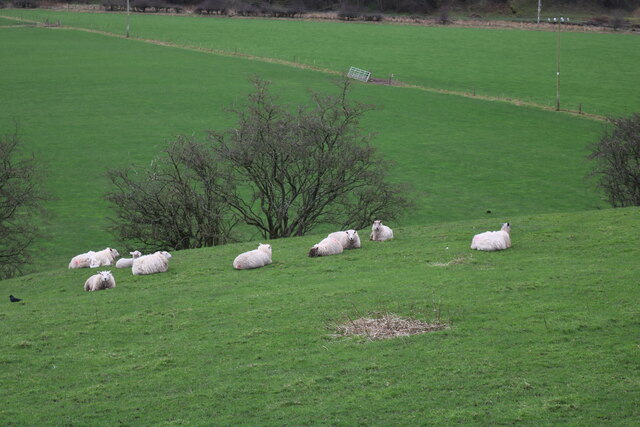
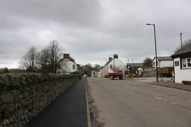
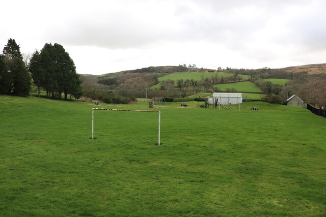
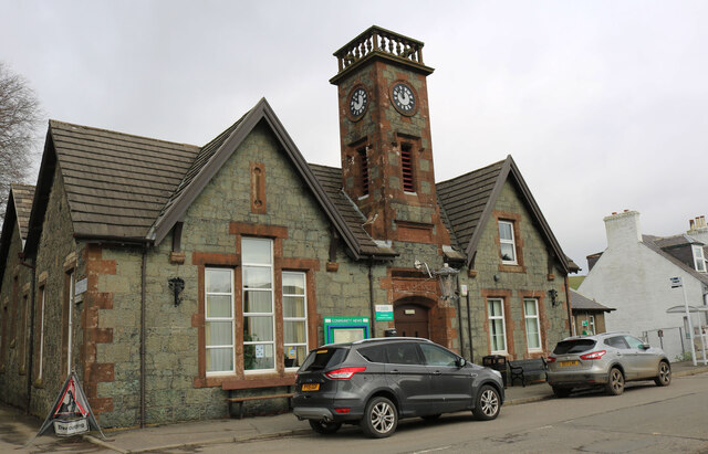
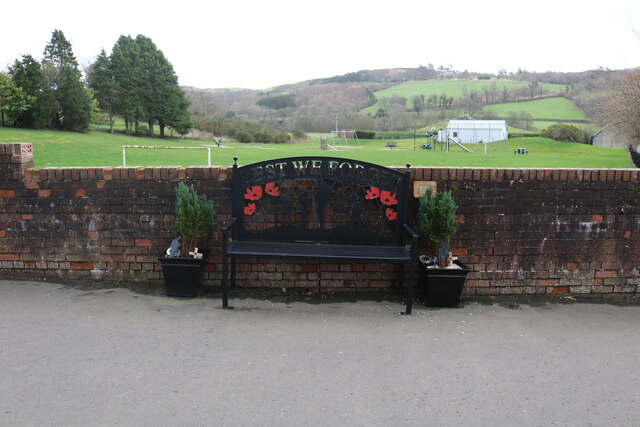
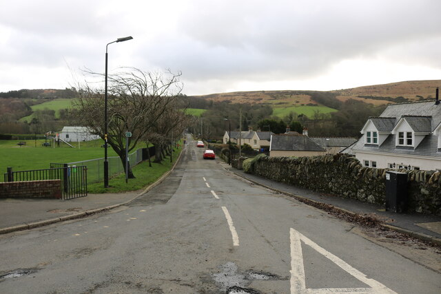
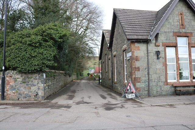
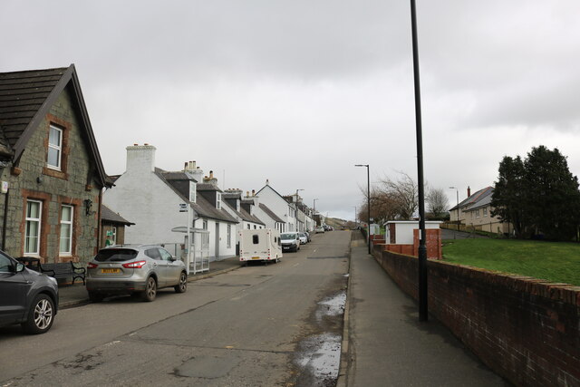
Images are sourced within 2km of 55.126427/-4.9267012 or Grid Reference NX1385. Thanks to Geograph Open Source API. All images are credited.
Dahlnie Wood is located at Grid Ref: NX1385 (Lat: 55.126427, Lng: -4.9267012)
Unitary Authority: South Ayrshire
Police Authority: Ayrshire
What 3 Words
///trip.manicured.blackmail. Near Girvan, South Ayrshire
Nearby Locations
Related Wikis

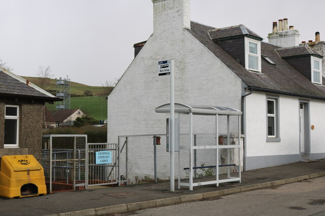
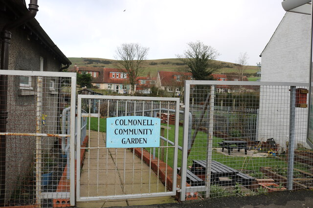
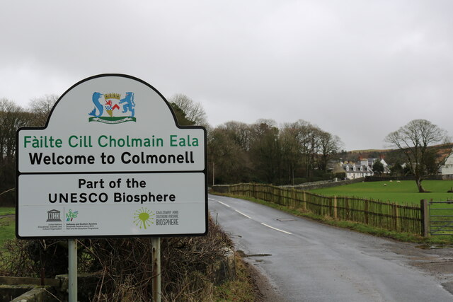
Colmonell
Colmonell (Scottish Gaelic: Cill Cholmain Eala) (meaning the church of St. Colman of Lainn Eala - in Lynally, County Offaly, Ireland) is a small village...

Heronsford
Heronsford is a village located in South Ayrshire, South-West Scotland. == About == Heronsford is a hamlet located near Ballantrae that sits along the...

Dumbarton Collegiate Church
The Collegiate Church of St Mary, Dumbarton, Scotland, was founded in about 1453 by Isabella, Countess of Lennox and Duchess of Albany. During the medieval...

Bennane Head
Bennane Head is a tapering piece of land formed of hard rock projecting into the Firth of Clyde, Scotland, at the northern end of Ballantrae Bay, 17 kilometres...
Nearby Amenities
Located within 500m of 55.126427,-4.9267012Have you been to Dahlnie Wood?
Leave your review of Dahlnie Wood below (or comments, questions and feedback).