Bad an t-Seobhaig
Wood, Forest in Inverness-shire
Scotland
Bad an t-Seobhaig

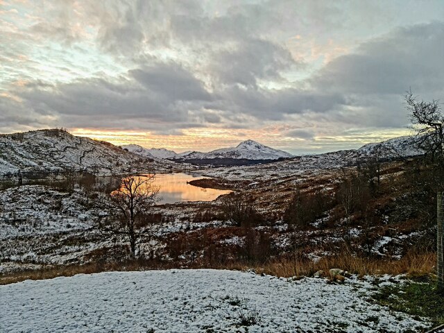
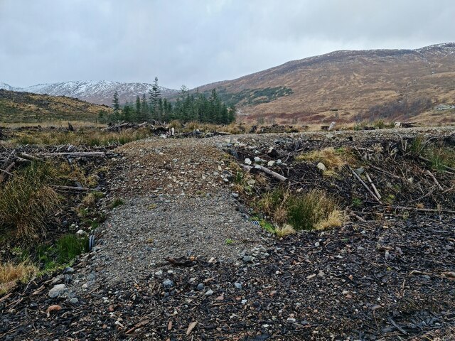
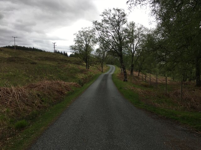
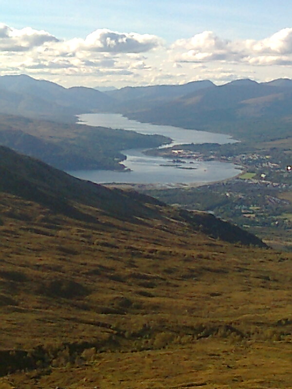
Bad an t-Seobhaig is a small wood located in Inverness-shire, Scotland. Situated in the picturesque Highlands region, it covers an area of approximately 100 acres. The wood is surrounded by stunning natural beauty, with rolling hills and lush greenery stretching as far as the eye can see.
The wood is predominantly composed of native Scottish trees, such as oak, birch, and rowan. These trees provide a rich habitat for a diverse range of wildlife, including red squirrels, roe deer, and various bird species. The wood is also home to a number of rare and protected plants, adding to its ecological value.
Visitors to Bad an t-Seobhaig can enjoy a peaceful and tranquil environment, perfect for walking, hiking, and bird watching. There are well-maintained trails that meander through the wood, allowing visitors to explore its natural wonders at their own pace. The wood offers breathtaking views of the surrounding landscape, with opportunities for photography and nature observation.
In addition to its natural beauty, Bad an t-Seobhaig holds historical significance. It is believed to have been an ancient woodland, with evidence of human habitation dating back centuries. The wood has been carefully managed to preserve its historical and ecological importance, ensuring its longevity for future generations to appreciate.
Overall, Bad an t-Seobhaig is a hidden gem in Inverness-shire, offering visitors a chance to connect with nature, immerse themselves in Scotland's rich biodiversity, and experience the tranquility of the Highlands.
If you have any feedback on the listing, please let us know in the comments section below.
Bad an t-Seobhaig Images
Images are sourced within 2km of 57.050899/-5.0779245 or Grid Reference NN1399. Thanks to Geograph Open Source API. All images are credited.


Bad an t-Seobhaig is located at Grid Ref: NN1399 (Lat: 57.050899, Lng: -5.0779245)
Unitary Authority: Highland
Police Authority: Highlands and Islands
What 3 Words
///nutrients.flask.amuse. Near Gairlochy, Highland
Nearby Locations
Related Wikis

Tomdoun
Tomdoun (Scottish Gaelic: An Tom Donn) is a settlement on the north side of the River Garry, near the western end of Loch Garry, in Glen Garry in the Highlands...

Loch Loyne
Loch Loyne is a loch in the Northwest Highlands of Scotland. Loch Loyne lies between Glen Garry and Glen Cluanie. The A87 road runs beside the eastern...

Meall na h-Eilde
Meall na h-Eilde is a Scottish hill situated in the high ground between the Great Glen and Glen Garry, 23 km north of Fort William in the Highland Council...
Lochaber
Lochaber ( lokh-AH-bər; Scottish Gaelic: Loch Abar) is a name applied to a part of the Scottish Highlands. Historically, it was a provincial lordship consisting...
Have you been to Bad an t-Seobhaig?
Leave your review of Bad an t-Seobhaig below (or comments, questions and feedback).