Glenloy Forest
Wood, Forest in Inverness-shire
Scotland
Glenloy Forest
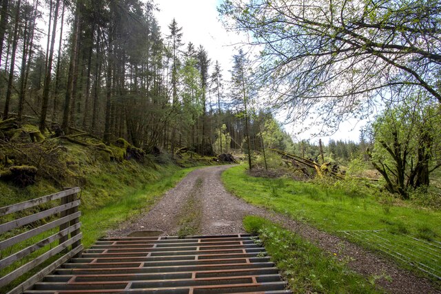
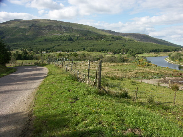
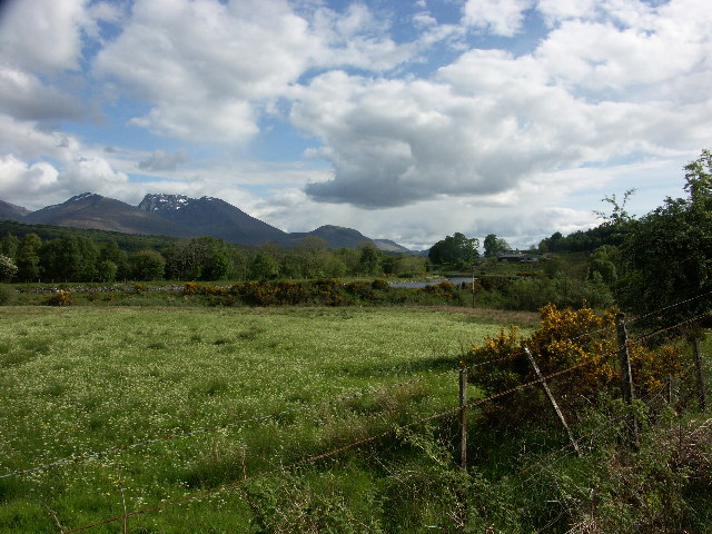
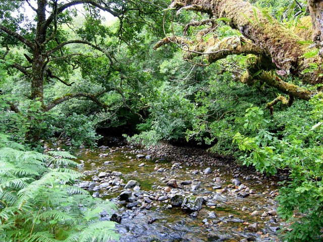
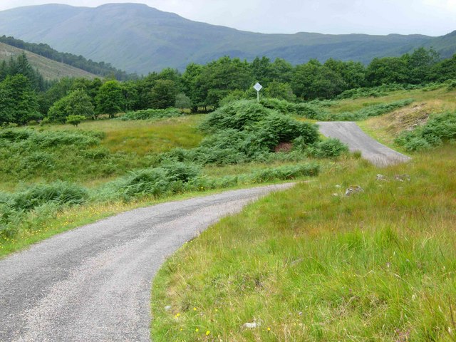
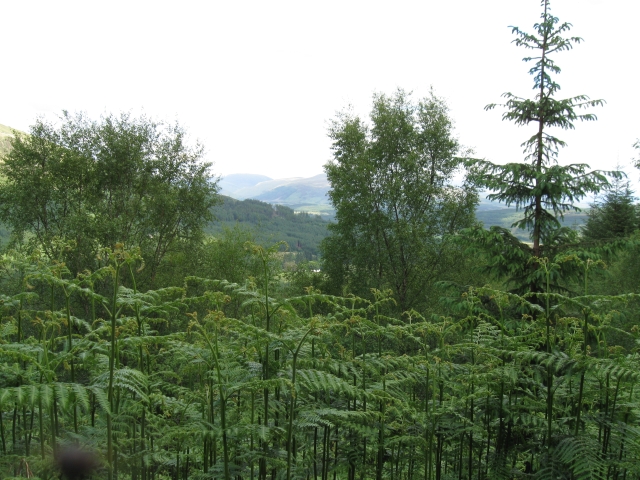
Glenloy Forest is a picturesque woodland located in Inverness-shire, Scotland. Covering an area of approximately 12,000 acres, it is nestled within the magnificent scenery of the Scottish Highlands. The forest is part of the wider Glen Loy Estate, which encompasses both commercial forestry and sporting activities.
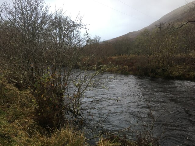
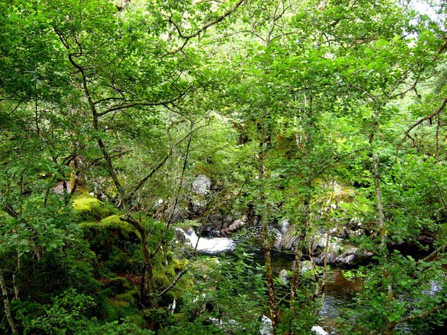
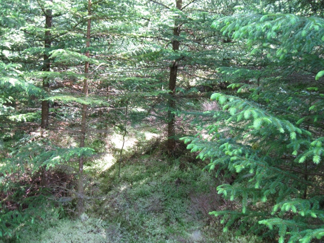
The forest is primarily composed of native species such as Scots pine, birch, and rowan trees. These trees create a lush and diverse habitat for a wide range of wildlife, including red deer, pine martens, and numerous bird species. The forest also boasts several small lochs and rivers, adding to its natural beauty.
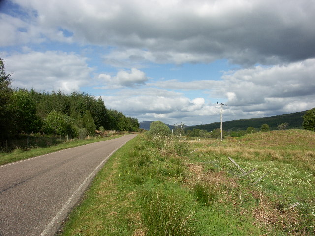
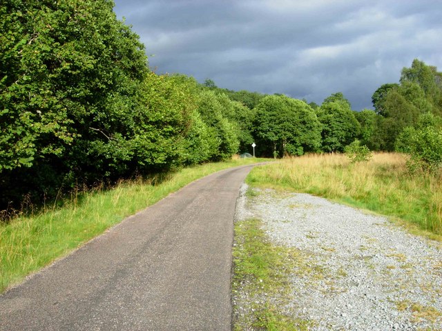
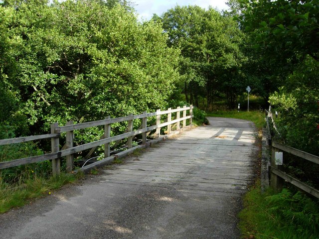
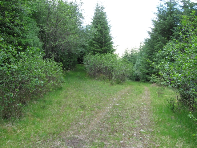
Glenloy Forest offers various recreational activities for visitors to enjoy. There are well-maintained walking trails that allow visitors to explore the woodland at their own pace. These trails provide stunning views of the surrounding mountains and glens, making it a popular destination for hikers and nature enthusiasts.
For those interested in wildlife spotting, the forest offers excellent opportunities to observe native species in their natural habitat. Birdwatchers will particularly appreciate the variety of species that can be seen throughout the year, including golden eagles, ospreys, and black grouse.
In addition to its natural attractions, Glenloy Forest also offers accommodation options for those wishing to spend more time in the area. There are self-catering lodges and cottages available, providing a comfortable base for exploring the forest and its surroundings.
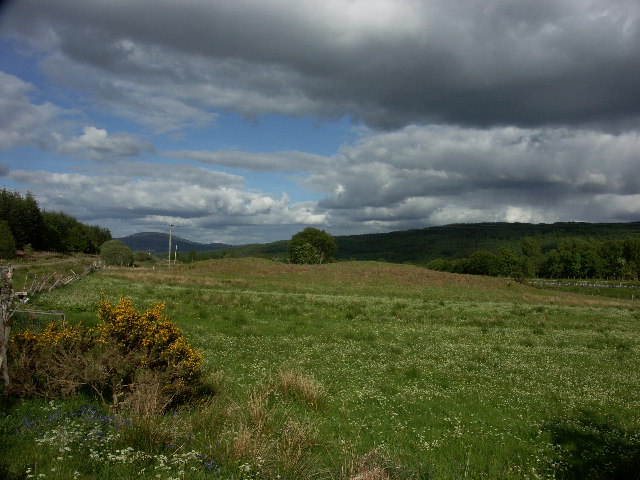
Overall, Glenloy Forest is a captivating destination for anyone seeking tranquility, stunning scenery, and the chance to immerse themselves in the beauty of the Scottish Highlands.
If you have any feedback on the listing, please let us know in the comments section below.
Glenloy Forest Images
Images are sourced within 2km of 56.898309/-5.067356 or Grid Reference NN1382. Thanks to Geograph Open Source API. All images are credited.
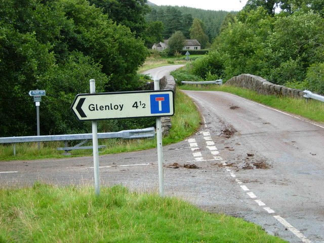
Glenloy Forest is located at Grid Ref: NN1382 (Lat: 56.898309, Lng: -5.067356)
Unitary Authority: Highland
Police Authority: Highlands and Islands
What 3 Words
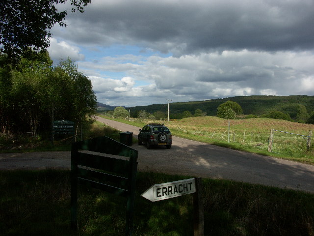
///tastings.overruns.amused. Near Gairlochy, Highland
Nearby Locations
Related Wikis
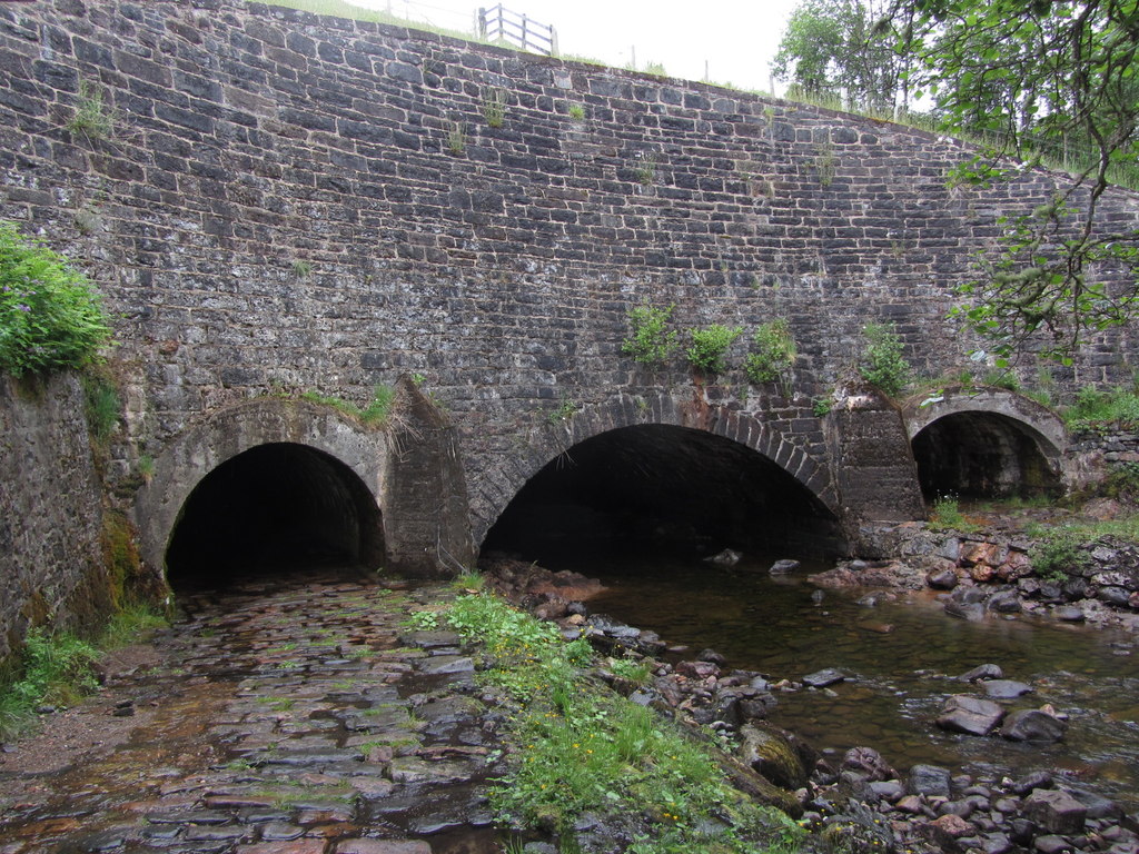
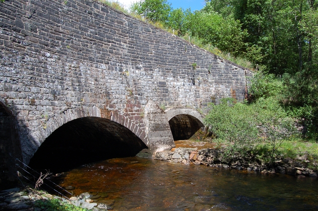
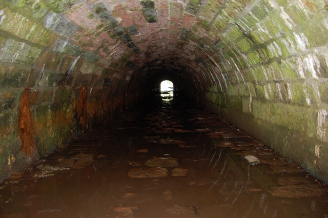
Glen Loy Aqueduct
The Glen Loy Aqueduct (or Glenloy Aqueduct) carries the Caledonian Canal over the River Loy, near Muirshearlich, between Banavie and Gairlochy. == History... ==

Glen Loy
Glen Loy is a glen or valley in the Northwest Highlands of Scotland which opens onto the Great Glen at its eastern end. It is drained by the River Loy...

Muirshearlich
Muirshearlich (Scottish Gaelic: Muir Sìorlaich) is a small hamlet, 4 miles northeast of Fort William, along the B8004 road, in Lochaber, Scottish Highlands...

Beinn Bhàn (Arkaig)
Beinn Bhàn is a Scottish mountain situated in the Lochaber region of the Highland Council Area. It stands 6 miles (10 km) north-west of Spean Bridge. The...
Nearby Amenities
Located within 500m of 56.898309,-5.067356Have you been to Glenloy Forest?
Leave your review of Glenloy Forest below (or comments, questions and feedback).