Balgowan Wood

Wood, Forest in Wigtownshire

Scotland

Balgowan Wood

A small M.O.D. building close to Balgowan Point. This is a small M.O.D. building close to Balgowan Point on The Rhins Peninsula, Scotland.
A small M.O.D. building close to Balgowan Point. Credit: andy

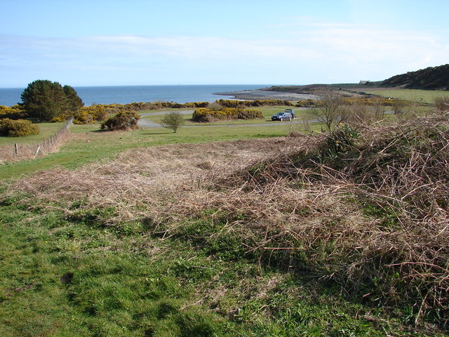
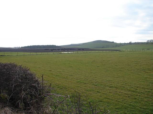
Balgowan Wood is a picturesque forest located in Wigtownshire, Scotland. Stretching over an area of approximately 100 acres, it is a popular destination for nature enthusiasts and outdoor lovers alike. The wood is situated in a rural setting, surrounded by rolling hills and stunning landscapes, providing a tranquil and peaceful environment.

The forest is predominantly composed of native trees, including oak, beech, and birch, which create a dense canopy that offers shade and shelter to a diverse range of wildlife. Visitors can explore the numerous walking trails that wind through the wood, allowing them to immerse themselves in the natural beauty of the surroundings. The paths are well-maintained and suitable for all ages and abilities.

Balgowan Wood is renowned for its rich biodiversity, making it a haven for wildlife enthusiasts. It is home to a variety of bird species, including woodpeckers, owls, and songbirds, which can be spotted and heard throughout the year. Squirrels, badgers, and deer are among the mammals that inhabit the wood, adding to its enchanting charm.

The wood is also of historical significance, with remnants of ancient settlements and monuments scattered throughout the area. Archaeological enthusiasts can discover traces of past human activity, such as stone circles and burial sites, providing a glimpse into the region's rich heritage.

Overall, Balgowan Wood offers a captivating and serene experience for those seeking a connection with nature and a chance to explore the natural wonders of Wigtownshire.

If you have any feedback on the listing, please let us know in the comments section below.

Balgowan Wood Images

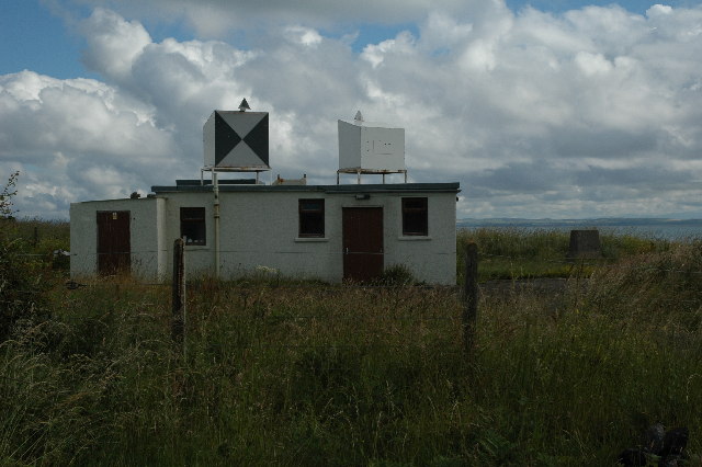
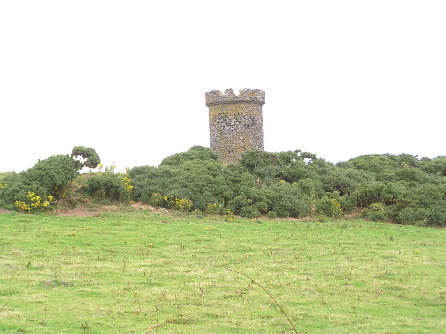
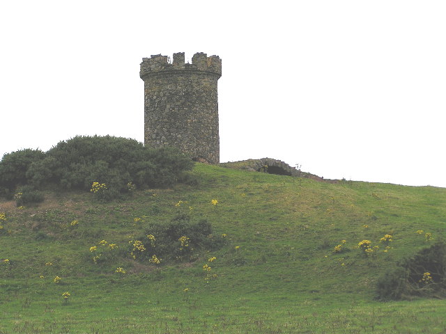
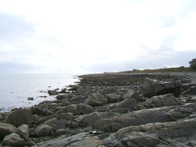
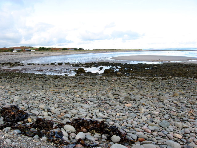
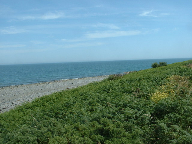
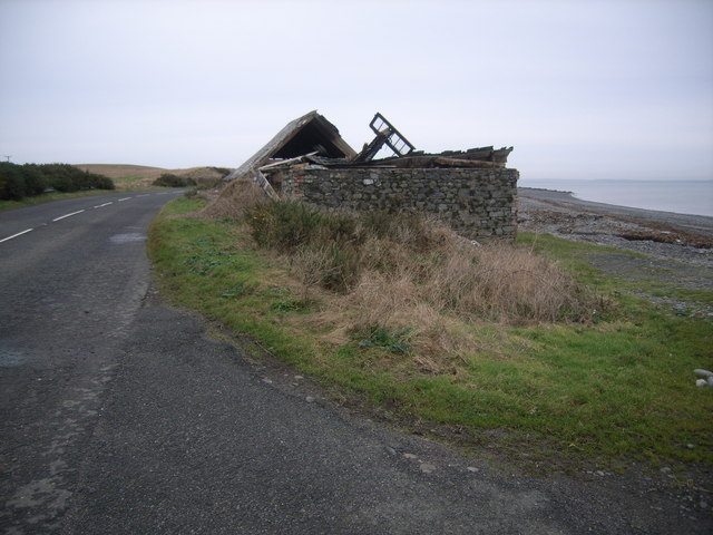
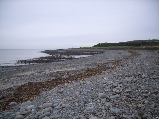
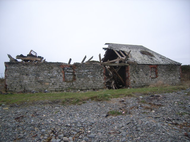
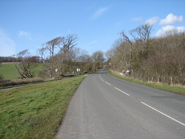
Images are sourced within 2km of 54.744575/-4.9259936 or Grid Reference NX1142. Thanks to Geograph Open Source API. All images are credited.

A small M.O.D. building close to Balgowan Point. This is a small M.O.D. building close to Balgowan Point on The Rhins Peninsula, Scotland.
A small M.O.D. building close to Balgowan Point.
This is a small M.O.D. building close to Balgowan Point on The Rhins Peninsula, Scotland.
Logan Windmill This is all that is left of the windmill that was built shortly before 1684 by Patrick McDouall to lessen his estate's dependence on the nearby watermill which in summer was liable to failure.
Logan Windmill
This is all that is left of the windmill that was built shortly before 1684 by Patrick McDouall to lessen his estate's dependence on the nearby watermill which in summer was liable to failure.
Logan Windmill 2 Another view of Logan Windmill showing the curious vaulted structure at its base
Logan Windmill 2
Another view of Logan Windmill showing the curious vaulted structure at its base
The rocky shore between Longrigg and Logan Mill Photograph taken around the point from Longrigg near Ardwell.
The rocky shore between Longrigg and Logan Mill
Photograph taken around the point from Longrigg near Ardwell.
New England Bay Scotland
Myroch Point Looking across Luce Bay, to The Machars peninsula, just visible through the haze.
Myroch Point
Looking across Luce Bay, to The Machars peninsula, just visible through the haze.
New England Bay, near Ardwell Looking north. This is a similar shot to the first geograph for the square [taken 2 years ago], but seems to show many more caravans. Is this because of the slightly higher elevation, or an increase in popularity?
New England Bay, near Ardwell
Looking north. This is a similar shot to the first geograph for the square [taken 2 years ago], but seems to show many more caravans. Is this because of the slightly higher elevation, or an increase in popularity?
Logan Botanic Gardens Entrance of the B7065
Logan Botanic Gardens
Entrance of the B7065
Muddy road in the Rhinns West Myroch farm in the distance.
Muddy road in the Rhinns
West Myroch farm in the distance.
Disused track The twin hedges indicate where this mapped track went, but it's clearly not used much now.
Disused track
The twin hedges indicate where this mapped track went, but it's clearly not used much now.
Approaching Terally Bay
Derelict cafe & snackbar I stopped for a much-needed coffee, but alas, it was all gone!
Derelict cafe & snackbar
I stopped for a much-needed coffee, but alas, it was all gone!
Terally Bay It was soooo cold here!
Terally Bay
It was soooo cold here!
Derelict cafe & snackbar (front view) No more snacks here then :(
Derelict cafe & snackbar (front view)
No more snacks here then :(
Balkelzie Bridge, Logan Toll Junction of the A716 and B7065 at Balkelzie Bridge.
Balkelzie Bridge, Logan Toll
Junction of the A716 and B7065 at Balkelzie Bridge.
New England Bay Picnic Area A picnic area set back from New England Bay just off the A716 on the east side of The Rhins.
New England Bay Picnic Area
A picnic area set back from New England Bay just off the A716 on the east side of The Rhins.
Auchabreck, South Rhins View from West Myroch northwest across the cattle crazing fields of Auchabreck.
Auchabreck, South Rhins
View from West Myroch northwest across the cattle crazing fields of Auchabreck.
Balgowan View along this rocky shoreline with little or no sandy beach to see. Centre of picture on the horizon is Logan Mills, the remains of Logan Windmill, Balgowan Cottage and Portacree Beach which has a slipway. This section of beach within this grid square is only about 150 yards in length and was reached on foot from New England Bay past Balgowan Point finishing (for me) at Logan Mills.
Balgowan
View along this rocky shoreline with little or no sandy beach to see. Centre of picture on the horizon is Logan Mills, the remains of Logan Windmill, Balgowan Cottage and Portacree Beach which has a slipway. This section of beach within this grid square is only about 150 yards in length and was reached on foot from New England Bay past Balgowan Point finishing (for me) at Logan Mills.
Show me another place!

Balgowan Wood is located at Grid Ref: NX1142 (Lat: 54.744575, Lng: -4.9259936)

Unitary Authority: Dumfries and Galloway

Police Authority: Dumfries and Galloway

What 3 Words

///arriving.trembles.headline. Near Drummore, Dumfries & Galloway

Nearby Locations

Balgowan Wood Drum Hill

Related Wikis

Logan Botanic Garden

Logan Botanic Garden is a botanical garden near Port Logan on the Rhins of Galloway, at the south-western tip of Scotland. The Botanic Garden was established...

Port Logan

Port Logan, formerly Port Nessock, is a small village in the parish of Kirkmaiden in the Rhins of Galloway in Wigtownshire. The Gaelic name is Port Neasaig...

Ardwell

Ardwell (from Gaelic Àrd Bhaile meaning "high town", pronounced as "Ardwell") is a village in the Scottish unitary council area of Dumfries and Galloway...

Clachanmore

Clachanmore is a village in the South Rhins of Galloway near Ardwell in the south west of Scotland. It has also been known as Low Ardwell.The name of the...

Nearby Amenities

Located within 500m of 54.744575,-4.9259936
Source: PGS
Lat/Long: 54.744051/-4.9185917
Source: PGS
Lat/Long: 54.744367/-4.9189889
Source: PGS
Lat/Long: 54.7446781/-4.9194598
Source: PGS
Lat/Long: 54.7449207/-4.9197429
Source: PGS
Lat/Long: 54.7453415/-4.9201763
Source: PGS
Lat/Long: 54.7456897/-4.92062
Source: PGS
Lat/Long: 54.745989/-4.9210691
Source: PGS
Lat/Long: 54.7464081/-4.9215707
Source: PGS
Lat/Long: 54.7467059/-4.9221129
Source: PGS
Lat/Long: 54.747124/-4.9227364
Source: PGS
Lat/Long: 54.7475658/-4.9233968
Source: PGS
Lat/Long: 54.7477586/-4.9237974
Source: PGS
Lat/Long: 54.7479512/-4.9242405
Source: PGS
Lat/Long: 54.748246/-4.9247893
Source: PGS
Lat/Long: 54.7486084/-4.9257551
Source: PGS
Lat/Long: 54.7487036/-4.926074
Source: PGS
Lat/Long: 54.7488582/-4.926669
Power: pole
Lat/Long: 54.7464133/-4.9325958
Power: pole
Lat/Long: 54.7452383/-4.9333683
Power: pole
Lat/Long: 54.7470189/-4.932207
Power: pole
Lat/Long: 54.7461787/-4.9262791
Power: pole
Lat/Long: 54.7458674/-4.9254604
Power: pole
Lat/Long: 54.7454978/-4.924533
Power: pole
Lat/Long: 54.7451182/-4.9235939
Power: pole
Lat/Long: 54.7447565/-4.9226723
Power: pole
Lat/Long: 54.7443925/-4.9217507
Power: pole
Lat/Long: 54.744061/-4.9209048
Power: pole
Lat/Long: 54.7437138/-4.9200356
Power: pole
Lat/Long: 54.7433577/-4.9191587
Power: pole
Lat/Long: 54.7432871/-4.92119
Power: pole
Lat/Long: 54.7425032/-4.9214811
Power: pole
Lat/Long: 54.7418289/-4.9217449
The data included in this document is from www.openstreetmap.org. The data is made available under ODbL.

Have you been to Balgowan Wood?

Leave your review of Balgowan Wood below (or comments, questions and feedback).