Loch Wood

Wood, Forest in Ayrshire

Scotland

Loch Wood

Knockdolian Hill Viewed from Ballantrae Harbour.
Knockdolian Hill Credit: Billy McCrorie

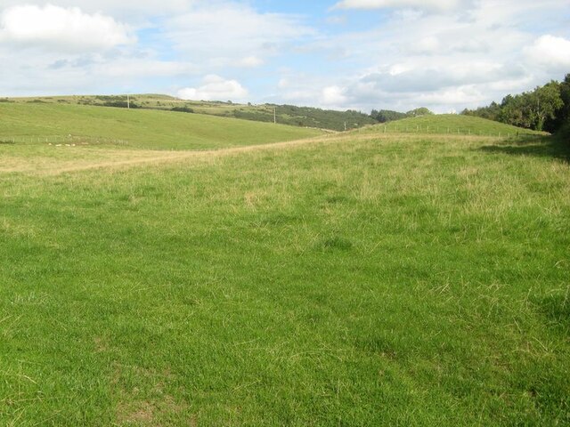
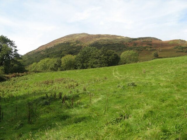
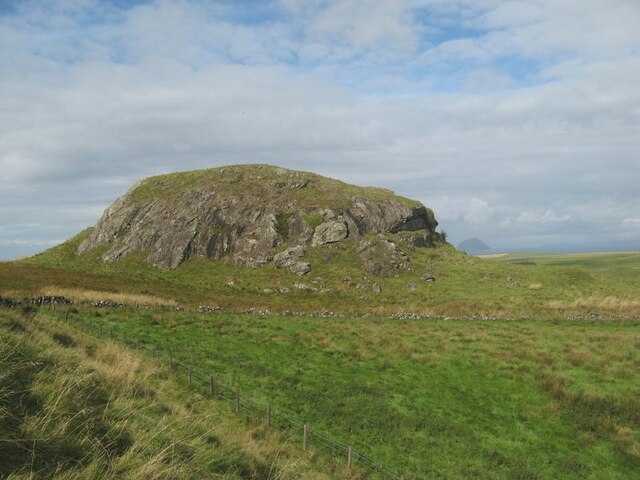
Loch Wood is a picturesque woodland located in Ayrshire, Scotland. Spread across an area of approximately 300 acres, it is a popular destination for nature lovers and outdoor enthusiasts. The wood is situated near the village of New Cumnock, providing easy accessibility for visitors.

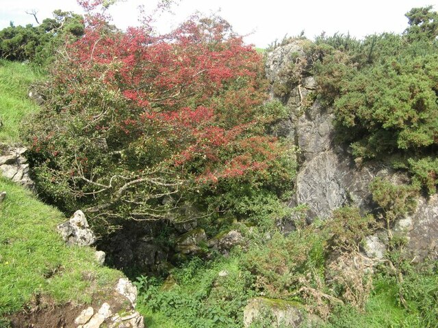
Known for its serene beauty, Loch Wood offers a diverse range of flora and fauna. The woodland is predominantly made up of native broadleaf trees such as oak, birch, and beech, creating a vibrant and colorful landscape throughout the year. Additionally, the wood is home to various species of wildflowers, enhancing its natural charm.

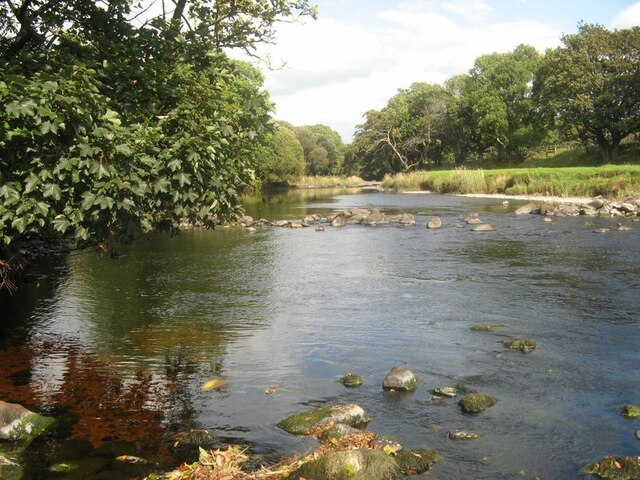
A network of well-maintained walking trails meanders through Loch Wood, providing visitors with the opportunity to explore its beauty at their own pace. These trails offer stunning views of the surrounding countryside, including the nearby Loch Ochiltree. The calm waters of the loch reflect the natural surroundings, creating a tranquil ambiance.

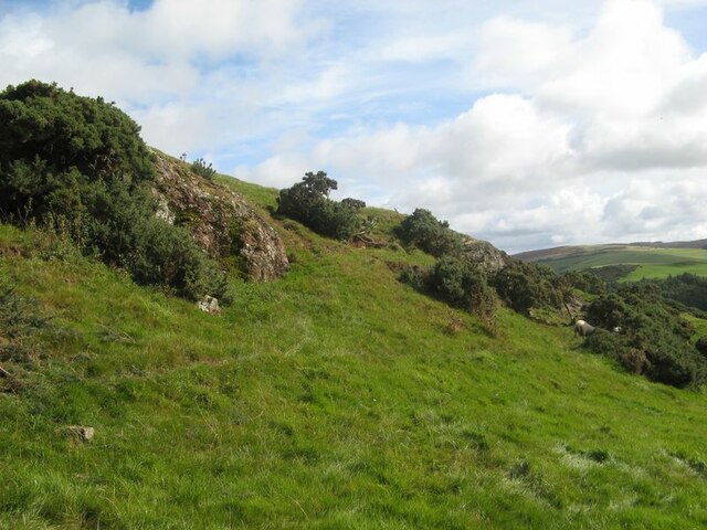
The wood also acts as a habitat for a wide range of wildlife. Visitors may spot woodland birds such as woodpeckers, jays, and thrushes, as well as small mammals like squirrels and rabbits. Loch Wood is also known for its population of red squirrels, which are a protected species in Scotland.

Overall, Loch Wood is a hidden gem in Ayrshire, offering a peaceful and immersive experience in nature. Whether hiking, birdwatching, or simply enjoying a leisurely stroll, visitors can appreciate the beauty and tranquility that this woodland has to offer.

If you have any feedback on the listing, please let us know in the comments section below.
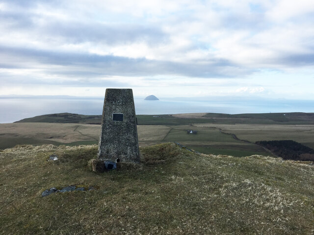
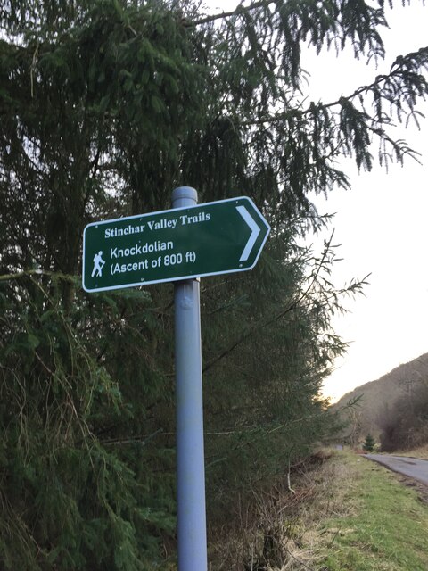
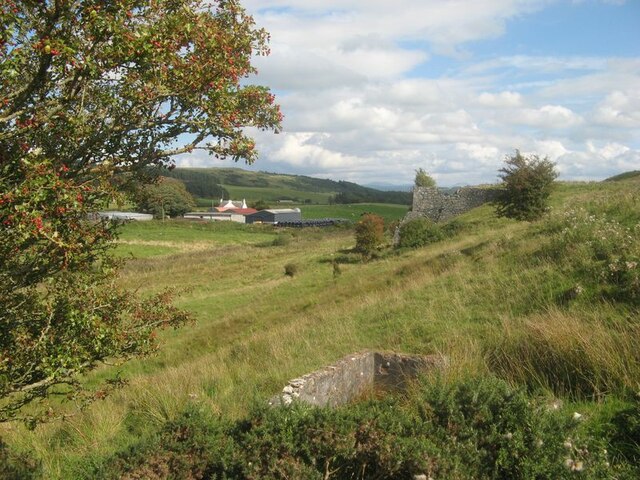
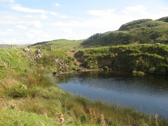
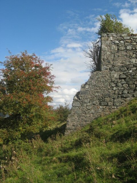
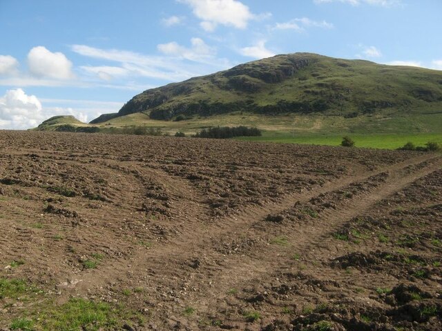
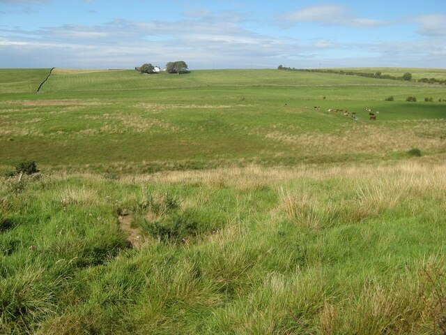
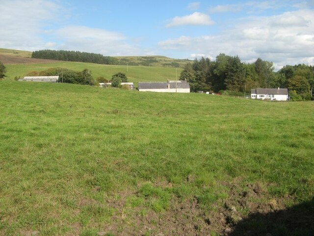
Loch Wood Images

Images are sourced within 2km of 55.131984/-4.9553359 or Grid Reference NX1185. Thanks to Geograph Open Source API. All images are credited.

Knockdolian Hill Viewed from Ballantrae Harbour.
Knockdolian Hill
Viewed from Ballantrae Harbour.
Knockdolian Trig Point No Flush Bracket
Footpath sign to Knockdolian
View to Bougang Farm Looking over rough pasture and derelict quarrying structures to Bougang Farm.
View to Bougang Farm
Looking over rough pasture and derelict quarrying structures to Bougang Farm.
Flooded quarry A flooded quarry known on the map as The Dam.
Flooded quarry
A flooded quarry known on the map as The Dam.
Former limekiln Buildings associated with the flooded quarry further up the hill are identified as a limekiln on the 1856 OS map, but apparently disused and no longer named on editions from the end of the century.
Former limekiln
Buildings associated with the flooded quarry further up the hill are identified as a limekiln on the 1856 OS map, but apparently disused and no longer named on editions from the end of the century.
Cultivated field The crop and stubble have gone and the ground has been ploughed and harrowed. A few days later I could see tractors at work making drills, possibly for potatoes, but it seemed early for that. Knockdolian looks on from a distance.
Cultivated field
The crop and stubble have gone and the ground has been ploughed and harrowed. A few days later I could see tractors at work making drills, possibly for potatoes, but it seemed early for that. Knockdolian looks on from a distance.
The great cowscape Seemingly endless pasture fields on both sides of the marshy Duhorn Burn.
The great cowscape
Seemingly endless pasture fields on both sides of the marshy Duhorn Burn.
Pasture by Knockdolian Barns The great cowscape continues as the land descends towards the River Stinchar. There are cottages by the junction of the road to Colmonell.
Pasture by Knockdolian Barns
The great cowscape continues as the land descends towards the River Stinchar. There are cottages by the junction of the road to Colmonell.
Drumlin topography The valley of the River Stinchar is deeply eroded by glacial ice following a line of faulted ground on the margin of the Ballantrae Ophiolite complex. On its way to Colmonell the road skirts the margin of a fine drumlin which is a remnant of that glacial period.
Drumlin topography
The valley of the River Stinchar is deeply eroded by glacial ice following a line of faulted ground on the margin of the Ballantrae Ophiolite complex. On its way to Colmonell the road skirts the margin of a fine drumlin which is a remnant of that glacial period.
River Stinchar A stretch of this fine river by Macherquhat.
River Stinchar
A stretch of this fine river by Macherquhat.
Steep pasture Looking across steep pasture land with the hill of Knockdolian in the distance.
Steep pasture
Looking across steep pasture land with the hill of Knockdolian in the distance.
Rock outcrops Rock outcrops adorned with gorse bushes form an edge on the lower slopes of Knockdolian. No particular excitement attaches to these mossy outcrops, but they comprise basaltic breccia attributed to the Balcreuchan Group and are part of the Ballantrae Ophiolite Complex, of Ordovician age.
Rock outcrops
Rock outcrops adorned with gorse bushes form an edge on the lower slopes of Knockdolian. No particular excitement attaches to these mossy outcrops, but they comprise basaltic breccia attributed to the Balcreuchan Group and are part of the Ballantrae Ophiolite Complex, of Ordovician age.
Disused quarry A small working, presumably for stone walling material, now occupied by a prolific hawthorn tree and used as a shelter by sheep.
Disused quarry
A small working, presumably for stone walling material, now occupied by a prolific hawthorn tree and used as a shelter by sheep.
Duniewick fort The district around Knockdolian provides interesting geomorphology - the response of the landscape to the underlying geological formation. The main hill comprises basaltic breccia and deposits of consolidated, basaltic detritus which made a hard rock formation: the Balcreuchan Group. The low tract of land which strikes inland between Ballantrae and Bennane Head comprises serpentinite, which results from the hydration of peridotite and is a very soft rock that is easily eroded. The serpentinite on the north side of Knockdolian includes many small bodies of gabbro, which contains plagioclase feldspar and is hard and less easily weathered, resulting in isolated crags such as Duniewick which was fortified with earthen ramparts at an unknown 'prehistoric' time.
Duniewick fort
The district around Knockdolian provides interesting geomorphology - the response of the landscape to the underlying geological formation. The main hill comprises basaltic breccia and deposits of consolidated, basaltic detritus which made a hard rock formation: the Balcreuchan Group. The low tract of land which strikes inland between Ballantrae and Bennane Head comprises serpentinite, which results from the hydration of peridotite and is a very soft rock that is easily eroded. The serpentinite on the north side of Knockdolian includes many small bodies of gabbro, which contains plagioclase feldspar and is hard and less easily weathered, resulting in isolated crags such as Duniewick which was fortified with earthen ramparts at an unknown 'prehistoric' time.
Rock and heather A rock ridge running up the easter end of Knockdolian, with a distant view over Bougang to Melemon Loch.
Rock and heather
A rock ridge running up the easter end of Knockdolian, with a distant view over Bougang to Melemon Loch.
Summit approach A view over wind-flattened grasses and rock outcrop to the trig pillar atop Knockdolian.
Summit approach
A view over wind-flattened grasses and rock outcrop to the trig pillar atop Knockdolian.
Knockdolian trig The triangulation pillar at the summit of Knockdolian, which is adorned with a number of memorials. The distant view takes in the fertile Ayrshire coastal farms and far-off Ailsa Craig.
Knockdolian trig
The triangulation pillar at the summit of Knockdolian, which is adorned with a number of memorials. The distant view takes in the fertile Ayrshire coastal farms and far-off Ailsa Craig.
Show me another place!

Loch Wood is located at Grid Ref: NX1185 (Lat: 55.131984, Lng: -4.9553359)

Unitary Authority: South Ayrshire

Police Authority: Ayrshire

What 3 Words

///barrel.strutted.nitrate. Near Girvan, South Ayrshire

Related Wikis

Heronsford

Heronsford is a village located in South Ayrshire, South-West Scotland. == About == Heronsford is a hamlet located near Ballantrae that sits along the...

Bennane Head

Bennane Head is a tapering piece of land formed of hard rock projecting into the Firth of Clyde, Scotland, at the northern end of Ballantrae Bay, 17 kilometres...

Colmonell

Colmonell (Scottish Gaelic: Cill Cholmain Eala) (meaning the church of St. Colman of Lainn Eala - in Lynally, County Offaly, Ireland) is a small village...

Dumbarton Collegiate Church

The Collegiate Church of St Mary, Dumbarton, Scotland, was founded in about 1453 by Isabella, Countess of Lennox and Duchess of Albany. During the medieval...

Nearby Amenities

Located within 500m of 55.131984,-4.9553359
Liggetcheek
Place: locality
Lat/Long: 55.1300613/-4.9620676
Power: pole
Lat/Long: 55.1312621/-4.9479675
Power: pole
Lat/Long: 55.1309953/-4.9494374
Power: pole
Lat/Long: 55.1309339/-4.9508429
Power: pole
Lat/Long: 55.1308419/-4.9522644
Power: pole
Lat/Long: 55.1307745/-4.9537021
Power: pole
Lat/Long: 55.1306825/-4.9551076
Power: pole
Lat/Long: 55.1302316/-4.9561858
Power: pole
Lat/Long: 55.1297747/-4.9571836
Power: pole
Lat/Long: 55.1293269/-4.958294
Power: pole
Lat/Long: 55.1288576/-4.9593723
The data included in this document is from www.openstreetmap.org. The data is made available under ODbL.

Have you been to Loch Wood?

Leave your review of Loch Wood below (or comments, questions and feedback).