Cameley

Settlement in Somerset

England

Cameley

Turnpike Cottage White house at the A37 Bristol Road junction with the A39 Wells Road at White Cross. The cross on the roof suggests this might have been a chapel at one time.
Turnpike Cottage Credit: Eirian Evans

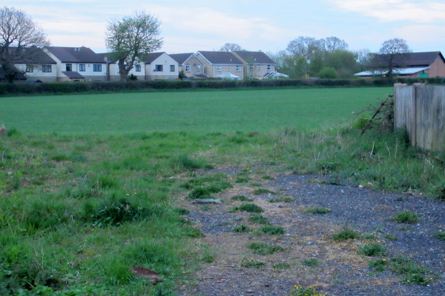
Cameley is a small village located in the county of Somerset, England. It is situated approximately 12 miles south of Bristol and 8 miles west of Bath, making it a convenient location for commuting to these larger cities. The village is nestled within the picturesque Chew Valley, known for its stunning countryside and scenic views.

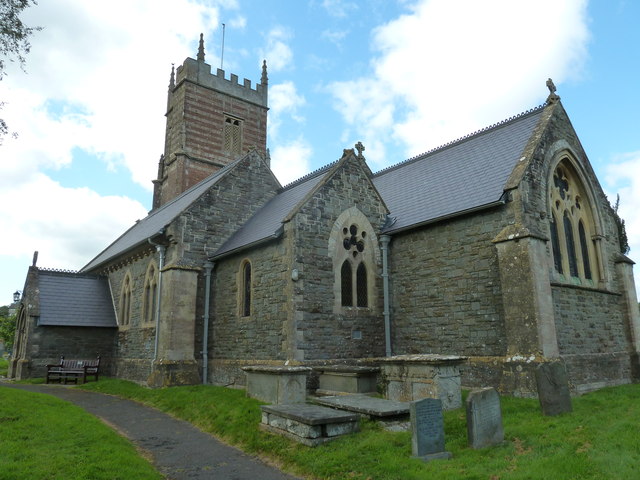
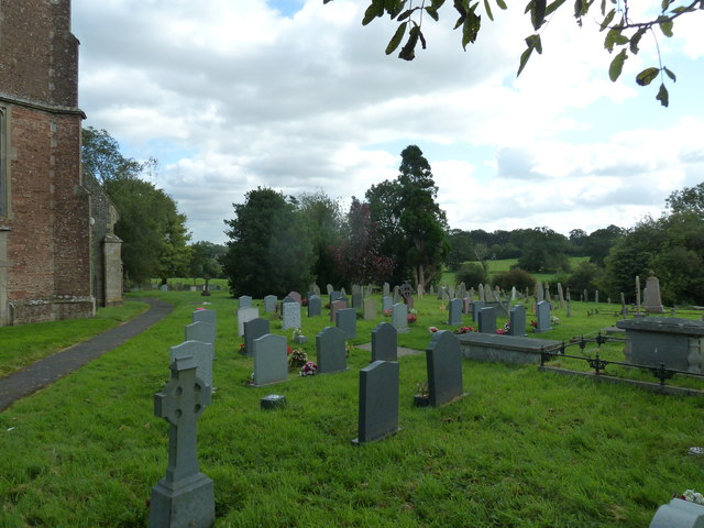
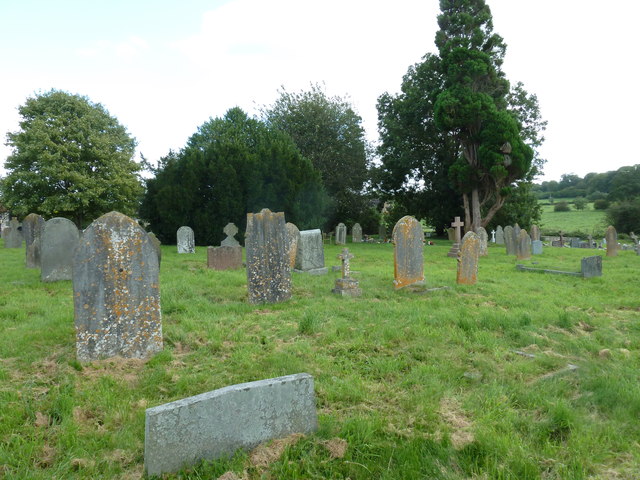
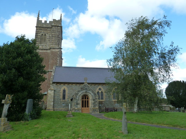
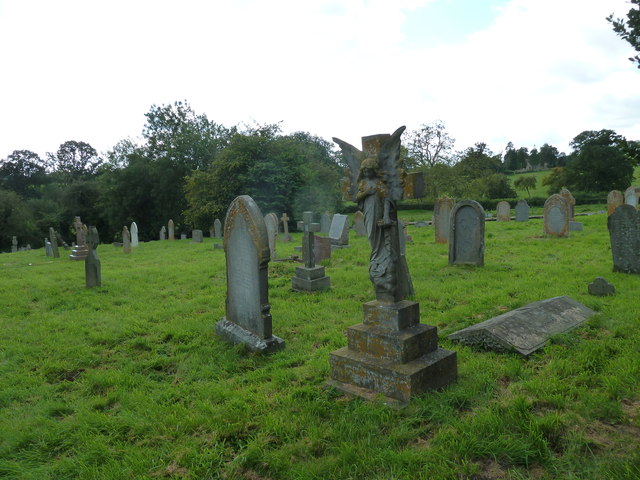
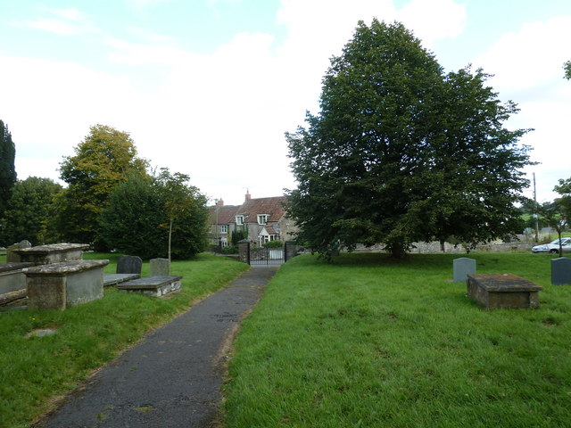
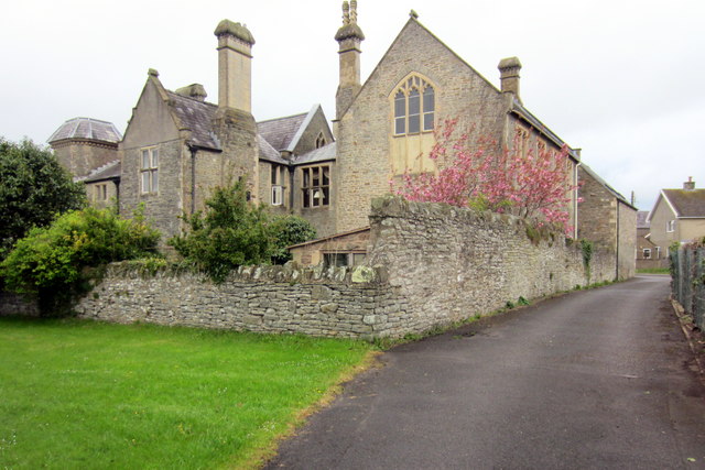
Cameley is a historic village with a rich heritage. It dates back to Saxon times and has several old buildings and structures that have been preserved over the years. The most notable is Cameley Church, a Grade I listed building that dates back to the 13th century. The church features stunning architecture and beautiful stained glass windows.

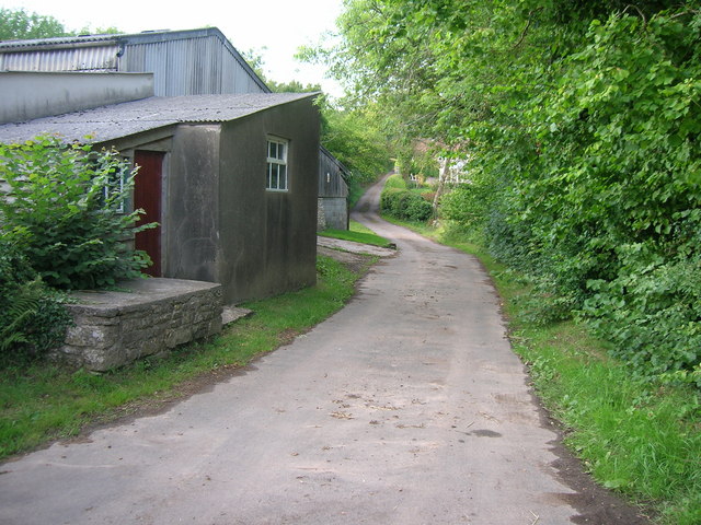
The village is home to a tight-knit community and offers a peaceful and tranquil setting for residents. It has a small primary school, which serves the local children, and a village hall that hosts various community events and activities. There is also a local pub, The Ubley Arms, where residents and visitors can enjoy a drink or a meal.

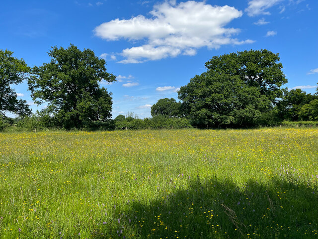
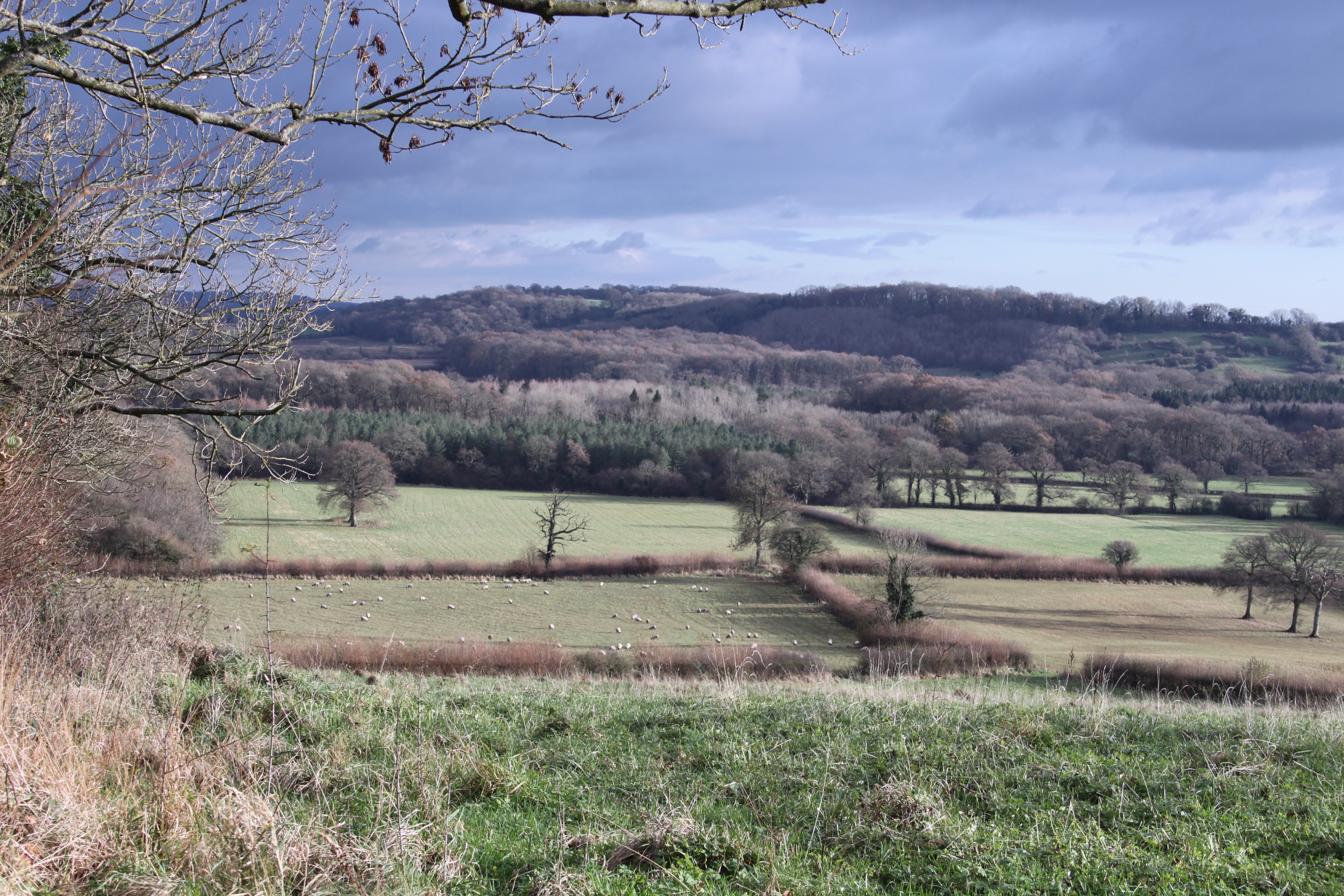
Cameley is surrounded by beautiful countryside, making it popular with outdoor enthusiasts. The nearby Chew Valley Lake offers opportunities for sailing, fishing, and birdwatching. The Mendip Hills, an Area of Outstanding Natural Beauty, are also within easy reach and provide excellent walking and cycling routes.

Overall, Cameley is a charming village that offers a peaceful and scenic place to live or visit. Its rich history, beautiful countryside, and close proximity to larger cities make it an attractive location for those seeking a balance between rural and urban living.

If you have any feedback on the listing, please let us know in the comments section below.
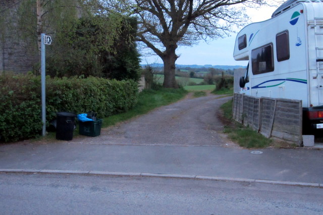
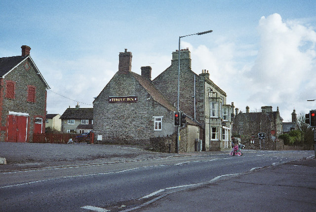
Cameley Images

Images are sourced within 2km of 51.315598/-2.5589633 or Grid Reference ST6157. Thanks to Geograph Open Source API. All images are credited.

Turnpike Cottage White house at the A37 Bristol Road junction with the A39 Wells Road at White Cross. The cross on the roof suggests this might have been a chapel at one time.
Turnpike Cottage
White house at the A37 Bristol Road junction with the A39 Wells Road at White Cross. The cross on the roof suggests this might have been a chapel at one time.
Meadow in the sun This image in the Hollow Marsh Nature Reserve was taken 15 years after, but one month earlier than, the image in <a href="https://www.geograph.org.uk/photo/501821">ST6156 : A summer meadow</a>. The sun is shining, but the obvious flowers here are spotted orchids and buttercups.
Meadow in the sun
This image in the Hollow Marsh Nature Reserve was taken 15 years after, but one month earlier than, the image in ST6156 : A summer meadow. The sun is shining, but the obvious flowers here are spotted orchids and buttercups.
The obstacle remains The fallen tree that was across the path through Chewton Wood in 2007 <a href="https://www.geograph.org.uk/photo/501830">ST6155 : An obstacle</a> is still there.
The obstacle remains
The fallen tree that was across the path through Chewton Wood in 2007 ST6155 : An obstacle is still there.
Nanny Hurn's Lane The southern end of Nanny Hurn's Lane at Lower Farm.  The tarmac disappears once you have passed Camway Cottage.
Nanny Hurn's Lane
The southern end of Nanny Hurn's Lane at Lower Farm. The tarmac disappears once you have passed Camway Cottage.
A37 northbound
A37 northbound
A37 northbound
A37 northbound
St Augustine of Hippo, Clutton: September 2012
St Augustine of Hippo, Clutton: churchyard (A)
St Augustine of Hippo, Clutton: churchyard (B)
St Augustine of Hippo, Clutton: churchyard (C)
St Augustine of Hippo, Clutton: churchyard (D)
St Augustine of Hippo, Clutton: churchyard (E)
St Augustine of Hippo, Clutton: churchyard (F)
St Augustine of Hippo, Clutton: noticeboard
Gate at west end of Pitway Lane No public access for vehicles beyond here; public footpath only according to the Ordnance Survey, despite the presence of a bridleway gate.
Gate at west end of Pitway Lane
No public access for vehicles beyond here; public footpath only according to the Ordnance Survey, despite the presence of a bridleway gate.
Footpath towards Cloud Hill
The Old Courthouse
The Old Courthouse
Footpath from Paulmont Rise
Show me another place!

Cameley is located at Grid Ref: ST6157 (Lat: 51.315598, Lng: -2.5589633)

Unitary Authority: Bath and North East Somerset

Police Authority: Avon and Somerset

What 3 Words

///washing.ladders.redeeming. Near Cameley, Somerset

Related Wikis

Church of St James, Cameley

The Church of St James is a redundant church in Cameley, Somerset, England, dating from the late 12th century. It is recorded in the National Heritage...

Cameley

Cameley is a village in the civil parish of Temple Cloud with Cameley, within the Chew Valley in Somerset, and on the northern slopes of the Mendip Hills...
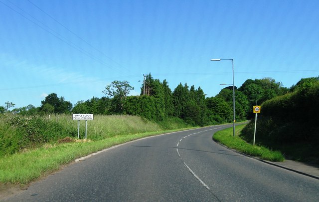
Temple Cloud

Temple Cloud (grid reference ST621580) is a village in the Chew Valley in Somerset on the A37 road. It is in the civil parish of Temple Cloud with Cameley...

Long Dole Wood and Meadows SSSI

Long Dole Wood and Meadows SSSI (grid reference ST610562) is a 9.8 hectares (24 acres) biological Site of Special Scientific Interest (SSSI) between the...

Nearby Amenities

Located within 500m of 51.315598,-2.5589633
Fixme: Where do I go?
Lat/Long: 51.3173338/-2.5586852
Fixme: Where do I go?
Lat/Long: 51.318259/-2.5582842
Barrier: kissing_gate
Lat/Long: 51.3156092/-2.5566022
Cameley
Place: hamlet
Wikidata: Q952668
Lat/Long: 51.3153787/-2.5608877
Power: pole
Lat/Long: 51.3167642/-2.5655133
Power: pole
Lat/Long: 51.3172063/-2.5643059
Power: pole
Lat/Long: 51.3173511/-2.5633932
Power: pole
Lat/Long: 51.317617/-2.5620265
The data included in this document is from www.openstreetmap.org. The data is made available under ODbL.

Have you been to Cameley?

Leave your review of Cameley below (or comments, questions and feedback).