Ballochagunnon Plantation

Wood, Forest in Wigtownshire

Scotland

Ballochagunnon Plantation

Track to Castle Clanyard
Track to Castle Clanyard Credit: Billy McCrorie

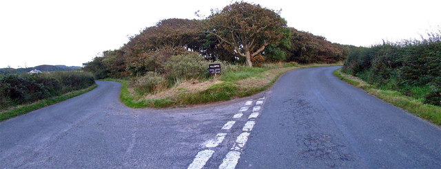
Ballochagunnon Plantation is a sprawling woodland area located in Wigtownshire, a region in southwestern Scotland. Covering an extensive area of land, the plantation is known for its diverse collection of trees and lush greenery, making it a popular destination for nature lovers and outdoor enthusiasts.

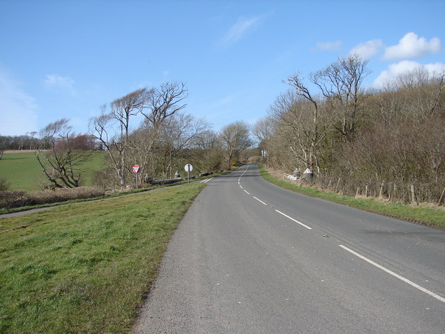
The plantation is primarily composed of native tree species such as oak, birch, and beech, which thrive in the fertile soil and temperate climate of the region. These trees provide a rich habitat for various flora and fauna, creating a vibrant ecosystem within the plantation.

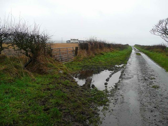
Visitors to Ballochagunnon Plantation can enjoy a range of recreational activities, including hiking, walking, and birdwatching. The plantation is crisscrossed by a network of well-maintained trails, allowing visitors to explore its vast expanse and marvel at the natural beauty that surrounds them.

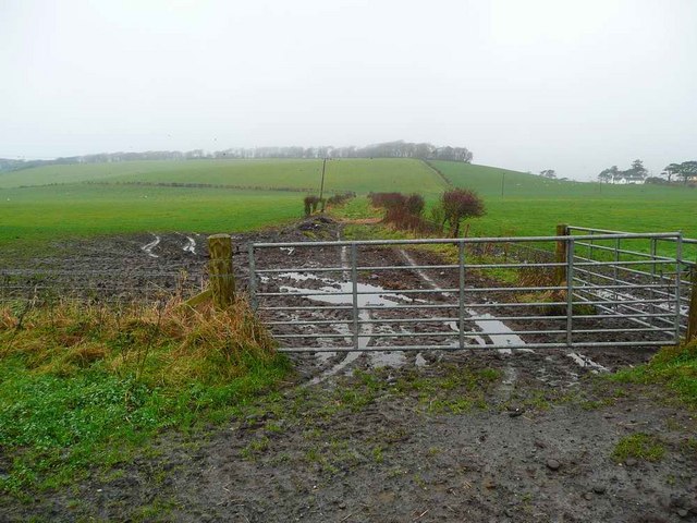
In addition to its natural attractions, Ballochagunnon Plantation also serves as an important economic resource for the local community. The timber harvested from the plantation is used for a variety of purposes, including construction, furniture making, and fuel.

The plantation is managed by a team of forestry professionals who ensure the sustainable management and conservation of the woodland. They undertake regular maintenance activities such as tree thinning and replanting to maintain the health and vitality of the plantation.

Overall, Ballochagunnon Plantation is a breathtaking natural treasure in Wigtownshire, offering a tranquil escape from the hustle and bustle of daily life while providing important economic and ecological benefits to the region.

If you have any feedback on the listing, please let us know in the comments section below.

Ballochagunnon Plantation Images

Images are sourced within 2km of 54.735939/-4.9536173 or Grid Reference NX0941. Thanks to Geograph Open Source API. All images are credited.

Track to Castle Clanyard
Road to Logan Botanic Garden Viewed in late April (27th).
Road to Logan Botanic Garden
Viewed in late April (27th).
Farmland at East Thorney Viewed in late April (27th) from the road into Logan Botanic Gardens..
Farmland at East Thorney
Viewed in late April (27th) from the road into Logan Botanic Gardens..
Welcome to Logan Botanic Garden Sign at the entrance from the B7065.
Welcome to Logan Botanic Garden
Sign at the entrance from the B7065.
The B7065 From the entrance to Logan Botanic Garden heading to Stranraer.
The B7065
From the entrance to Logan Botanic Garden heading to Stranraer.
Entrance to Logan Botanic Garden From the B7065.
Entrance to Logan Botanic Garden
From the B7065.
The B7065 to Port Logan From the entrance to Logan Botanic Garden.
The B7065 to Port Logan
From the entrance to Logan Botanic Garden.
Road into Logan Botanic Garden From the B7065.
Road into Logan Botanic Garden
From the B7065.
Drainage Ditch At East Thorney.
Drainage Ditch
At East Thorney.
Tractor at Work at West Thorney The car on the right is heading for Logan Botanic Garden.
Tractor at Work at West Thorney
The car on the right is heading for Logan Botanic Garden.
Road into Logan Botanic Garden Viewed in late April (27th).
Road into Logan Botanic Garden
Viewed in late April (27th).
Road from Logan Botanic Garden Onto the B7065.
Road from Logan Botanic Garden
Onto the B7065.
Farmland at East Thorney Viewed in late April (27th) from the road into Logan Botanic Garden.
Farmland at East Thorney
Viewed in late April (27th) from the road into Logan Botanic Garden.
Paddy's Plantation Photo taken looking west, with the tight bend on the left going towards Killumpha Farm
Paddy's Plantation
Photo taken looking west, with the tight bend on the left going towards Killumpha Farm
Logan Botanic Gardens Entrance of the B7065
Logan Botanic Gardens
Entrance of the B7065
Muddy road in the Rhinns West Myroch farm in the distance.
Muddy road in the Rhinns
West Myroch farm in the distance.
Disused track The twin hedges indicate where this mapped track went, but it's clearly not used much now.
Disused track
The twin hedges indicate where this mapped track went, but it's clearly not used much now.
Balkelzie Bridge, Logan Toll Junction of the A716 and B7065 at Balkelzie Bridge.
Balkelzie Bridge, Logan Toll
Junction of the A716 and B7065 at Balkelzie Bridge.
Show me another place!

Ballochagunnon Plantation is located at Grid Ref: NX0941 (Lat: 54.735939, Lng: -4.9536173)

Unitary Authority: Dumfries and Galloway

Police Authority: Dumfries and Galloway

What 3 Words

///custodial.dove.begin. Near Drummore, Dumfries & Galloway

Related Wikis

Logan Botanic Garden

Logan Botanic Garden is a botanical garden near Port Logan on the Rhins of Galloway, at the south-western tip of Scotland. The Botanic Garden was established...

Port Logan

Port Logan, formerly Port Nessock, is a small village in the parish of Kirkmaiden in the Rhins of Galloway in Wigtownshire. The Gaelic name is Port Neasaig...

Ardwell

Ardwell (from Gaelic Àrd Bhaile meaning "high town", pronounced as "Ardwell") is a village in the Scottish unitary council area of Dumfries and Galloway...

Doon Castle Broch

Doon Castle Broch is an iron-age broch located in Dumfries and Galloway, Scotland (grid reference NX 06702 44683). == Location == The Broch is located...

Nearby Amenities

Located within 500m of 54.735939,-4.9536173
Botanic Gardens
Naptan AtcoCode: 680000834111
Naptan Bearing: NE
Naptan BusStopType: CUS
Naptan CommonName: Botanic Gardens
Naptan Indicator: Road End
Naptan Landmark: Botanic Gardens
Naptan NaptanCode: 34234946
Naptan Notes: none
Naptan Street: B7065
Naptan Verified: no
Source: naptan_import
Lat/Long: 54.7376538/-4.9504705
Botanic Gardens
Naptan AtcoCode: 680000834222
Naptan Bearing: SW
Naptan BusStopType: CUS
Naptan CommonName: Botanic Gardens
Naptan Indicator: opp road end
Naptan Landmark: Botanic Gardens
Naptan NaptanCode: 34234947
Naptan Notes: none
Naptan Street: B7065
Naptan Verified: no
Source: naptan_import
Lat/Long: 54.7379437/-4.9500099
Mount Sallie Hill
Natural: peak
Lat/Long: 54.73497/-4.957591
West Thorney
Natural: peak
Lat/Long: 54.7387042/-4.9547107
Power: pole
Lat/Long: 54.734853/-4.9532476
Power: pole
Lat/Long: 54.7340666/-4.9540993
Power: pole
Lat/Long: 54.7337597/-4.9544001
Power: pole
Lat/Long: 54.7332422/-4.9552033
Power: pole
Lat/Long: 54.7327325/-4.9559736
Power: pole
Lat/Long: 54.7322048/-4.9567943
The data included in this document is from www.openstreetmap.org. The data is made available under ODbL.

Have you been to Ballochagunnon Plantation?

Leave your review of Ballochagunnon Plantation below (or comments, questions and feedback).