Barhill Plantation

Wood, Forest in Wigtownshire

Scotland

Barhill Plantation

Ardwell House, Ardwell, Wigtownshire The estate house at Ardwell owned by and occupied by the Brewis family.
Ardwell House, Ardwell, Wigtownshire Credit: Colin McDonald

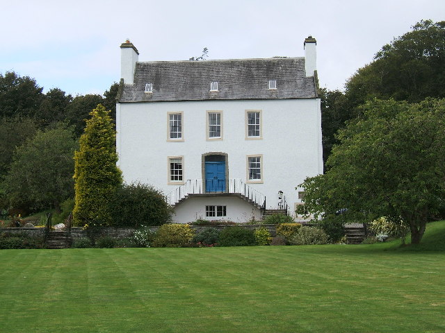
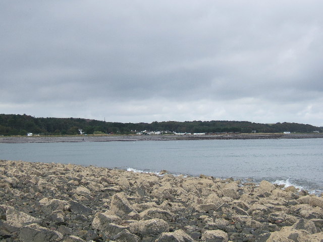
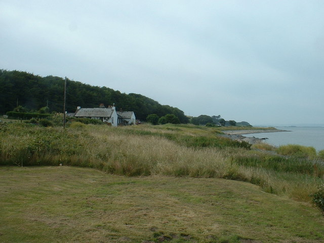
Barhill Plantation is a picturesque woodland area located in Wigtownshire, Scotland. Spanning over several acres, this stunning forest is a haven for nature enthusiasts and outdoor enthusiasts alike. The plantation is situated near the village of Bladnoch and is easily accessible to visitors from the surrounding areas.

The woodland at Barhill Plantation is predominantly composed of native trees such as oak, birch, and beech, creating a diverse and thriving ecosystem. The dense canopy provides shelter for a variety of wildlife, including deer, foxes, and numerous bird species. It is not uncommon to spot red squirrels darting through the branches or hear the enchanting songs of woodland birds.

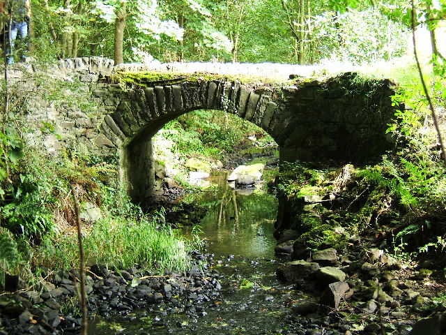
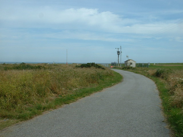
Tranquil walking trails wind their way through the plantation, inviting visitors to explore the natural beauty of the area. These well-maintained paths offer opportunities for both leisurely strolls and more challenging hikes. Along the way, walkers can enjoy breathtaking views of the surrounding countryside and may even stumble upon hidden gems such as a secluded stream or a carpet of wildflowers.

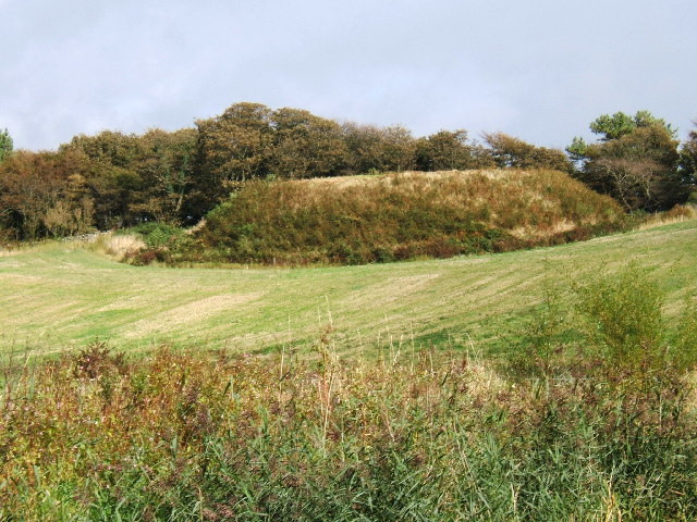
Barhill Plantation also holds historical significance, with remnants of ancient settlements and archaeological sites scattered throughout the area. These remnants offer a glimpse into the rich history of the region, adding an extra layer of intrigue to the woodland experience.

Whether one seeks solace in nature, aims to observe wildlife, or desires a peaceful retreat, Barhill Plantation in Wigtownshire offers a serene and captivating environment that caters to all.

If you have any feedback on the listing, please let us know in the comments section below.

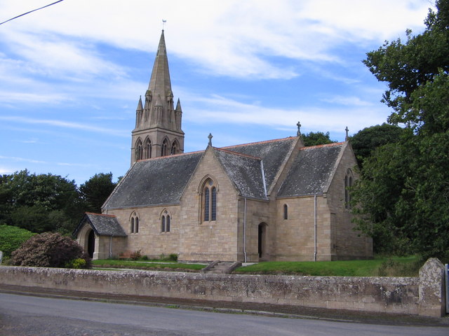
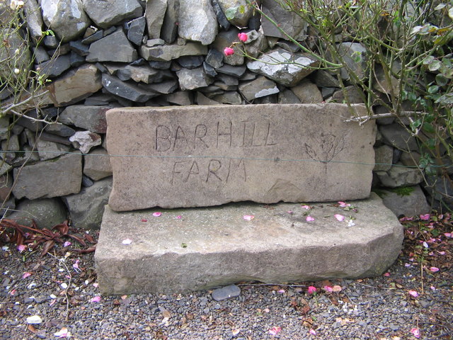
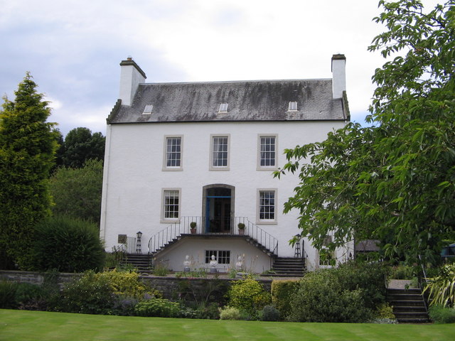
Barhill Plantation Images

Images are sourced within 2km of 54.763965/-4.9568413 or Grid Reference NX0945. Thanks to Geograph Open Source API. All images are credited.

Ardwell House, Ardwell, Wigtownshire The estate house at Ardwell owned by and occupied by the Brewis family.
Ardwell House, Ardwell, Wigtownshire
The estate house at Ardwell owned by and occupied by the Brewis family.
An old cartpath and bridge within Ardwell Estate This old bridge is close to Ardwell houses, Ardwell, about 10 miles South of Stranraer.
An old cartpath and bridge within Ardwell Estate
This old bridge is close to Ardwell houses, Ardwell, about 10 miles South of Stranraer.
The rocky shore between Longrigg and Logan Mill Photograph taken around the point from Longrigg near Ardwell.
The rocky shore between Longrigg and Logan Mill
Photograph taken around the point from Longrigg near Ardwell.
The remains of a Motte and Bailey castle, Ardwell, Stranraer These are all that remain of a Motte and Bailey castle within the grounds of Ardwell House, Ardwell, Stranraer. The modern OS maps have it marked as Ardwell Motte and the shape is unmistakable. When closer, the ditch around the Motte is still noticeable and in fact, the estate have built two wooden bridges over the ditch, one at either side of a marked walk.
The remains of a Motte and Bailey castle, Ardwell, Stranraer
These are all that remain of a Motte and Bailey castle within the grounds of Ardwell House, Ardwell, Stranraer. The modern OS maps have it marked as Ardwell Motte and the shape is unmistakable. When closer, the ditch around the Motte is still noticeable and in fact, the estate have built two wooden bridges over the ditch, one at either side of a marked walk.
Chapel Rossan Bay looking across to Ardwell village and caravan site. Chapel Rossan Bay taken from Chapel Rossan and looking across to Ardwell village, about 10 miles South of Stranraer.
Chapel Rossan Bay looking across to Ardwell village and caravan site.
Chapel Rossan Bay taken from Chapel Rossan and looking across to Ardwell village, about 10 miles South of Stranraer.
Ardwell Church, Ardwell, Stranraer Ardwell Church, Ardwell, Stranraer built in 1902.
Ardwell Church, Ardwell, Stranraer
Ardwell Church, Ardwell, Stranraer built in 1902.
Ardwell Church
Ardwell Church
Lane near Ardwell Church On the opposite side of the road, running south.
Lane near Ardwell Church
On the opposite side of the road, running south.
MoD Lookout on Luce Bay There is a barrier here, restricting access to the shore when military activities are underway.
MoD Lookout on Luce Bay
There is a barrier here, restricting access to the shore when military activities are underway.
Drumantrae On the shore of Luce Bay, looking north.
Drumantrae
On the shore of Luce Bay, looking north.
Ardwell Telephone Box
Auchness Tower, Ardwell The 16 century altered 3-storey tower was formerly known as Auchness Castle; it now forms part of a modern farmhouse. <span class="nowrap"><a title="http://canmore.org.uk/site/61124/auchness-farmhouse" rel="nofollow ugc noopener" href="http://canmore.org.uk/site/61124/auchness-farmhouse">Link</a><img style="margin-left:2px;" alt="External link" title="External link - shift click to open in new window" src="https://s1.geograph.org.uk/img/external.png" width="10" height="10"/></span>
Auchness Tower, Ardwell
The 16 century altered 3-storey tower was formerly known as Auchness Castle; it now forms part of a modern farmhouse. LinkExternal link
Balkelzie Bridge, Logan Toll Junction of the A716 and B7065 at Balkelzie Bridge.
Balkelzie Bridge, Logan Toll
Junction of the A716 and B7065 at Balkelzie Bridge.
Ardwell Church
Ardwell Church
Carved farm sign for Barhill farm
Ardwell House The house was built in the early 18th century. It has been in the McTaggart family since before 1800.
Ardwell House
The house was built in the early 18th century. It has been in the McTaggart family since before 1800.
Carved stone family crest This owl carving is the crest of the MacTaggart family owners of Ardwell House
Carved stone family crest
This owl carving is the crest of the MacTaggart family owners of Ardwell House
Ardwell House dovecot
Show me another place!

Barhill Plantation is located at Grid Ref: NX0945 (Lat: 54.763965, Lng: -4.9568413)

Unitary Authority: Dumfries and Galloway

Police Authority: Dumfries and Galloway

What 3 Words

///frail.slimmer.gamer. Near Drummore, Dumfries & Galloway

Related Wikis

Ardwell

Ardwell (from Gaelic Àrd Bhaile meaning "high town", pronounced as "Ardwell") is a village in the Scottish unitary council area of Dumfries and Galloway...

Logan Botanic Garden

Logan Botanic Garden is a botanical garden near Port Logan on the Rhins of Galloway, at the south-western tip of Scotland. The Botanic Garden was established...

Clachanmore

Clachanmore is a village in the South Rhins of Galloway near Ardwell in the south west of Scotland. It has also been known as Low Ardwell.The name of the...

Doon Castle Broch

Doon Castle Broch is an iron-age broch located in Dumfries and Galloway, Scotland (grid reference NX 06702 44683). == Location == The Broch is located...

Sandhead

Sandhead is a small village in Dumfries and Galloway, south west Scotland. It overlooks Luce Bay, 7 miles south of Stranraer. The old main road, named...

Port Logan

Port Logan, formerly Port Nessock, is a small village in the parish of Kirkmaiden in the Rhins of Galloway in Wigtownshire. The Gaelic name is Port Neasaig...

Stoneykirk

Stoneykirk (Scottish Gaelic: Eaglais Steafain) is an area and a village in the heart of the Rhins of Galloway, Wigtownshire, in the administrative council...

Kirkmaiden

Kirkmaiden is a parish in the Rhins of Galloway, the most southerly in Scotland; the present Church of Scotland parish has the same name as and is approximately...

Nearby Amenities

Located within 500m of 54.763965,-4.9568413
Power: pole
Lat/Long: 54.7658861/-4.9638838
Power: pole
Lat/Long: 54.7646698/-4.9629933
Power: pole
Lat/Long: 54.7640384/-4.9625319
Power: pole
Lat/Long: 54.7634256/-4.9620679
Power: pole
Lat/Long: 54.7626689/-4.9615234
Power: pole
Lat/Long: 54.761926/-4.9610513
Power: pole
Lat/Long: 54.7611894/-4.9606705
Power: pole
Lat/Long: 54.7604868/-4.9602708
Power: pole
Lat/Long: 54.7603506/-4.95886
Power: pole
Lat/Long: 54.7602144/-4.9575055
Power: pole
Lat/Long: 54.7600983/-4.9561375
Power: pole
Lat/Long: 54.7599946/-4.9548313
Power: pole
Lat/Long: 54.7598847/-4.9538013
Power: pole
Lat/Long: 54.7597826/-4.9562261
Power: pole
Lat/Long: 54.7599343/-4.9576664
Power: pole
Lat/Long: 54.76012/-4.9591148
Power: pole
Lat/Long: 54.760298/-4.9606141
Power: pole
Lat/Long: 54.7606245/-4.9613276
Power: pole
Lat/Long: 54.7609727/-4.9621376
Power: pole
Lat/Long: 54.7612095/-4.9627385
Barhill Farm
Place: farm
Lat/Long: 54.7608193/-4.9549963
Events Venue
Ardwell Glasshouse
Addr City: Ardwell
Addr Housename: Ardwell House
Check Date: 2023-08-12
Contact Facebook: https://www.facebook.com/ArdwellGlasshouse
Contact Instagram: https://www.instagram.com/ardwell_glasshouse/
Email: info@ardwellglasshouse.com
Phone: +44 7547 398488
Website: https://ardwellglasshouse.com
Lat/Long: 54.7666992/-4.9517909
The data included in this document is from www.openstreetmap.org. The data is made available under ODbL.

Have you been to Barhill Plantation?

Leave your review of Barhill Plantation below (or comments, questions and feedback).