High Kilmarnock Wood
Wood, Forest in Argyllshire
Scotland
High Kilmarnock Wood

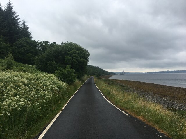
High Kilmarnock Wood, located in Argyllshire, Scotland, is a majestic forest that spans over a vast area of land. Situated in the picturesque countryside, this wood is renowned for its natural beauty and diverse ecosystem.
The wood is home to a variety of tree species, including oak, birch, and pine. These trees tower over the landscape, creating a lush and vibrant canopy. The forest floor is adorned with an array of wildflowers, ferns, and mosses, adding to the enchanting atmosphere.
This woodland is a haven for wildlife, providing a habitat for numerous species. Birdwatchers can spot a range of avian creatures, such as buzzards, owls, and woodpeckers. Deer, foxes, and badgers are among the mammals that roam the forest, adding to the sense of wilderness.
Trails and paths wind their way through the wood, allowing visitors to explore its treasures. Hikers and nature enthusiasts can immerse themselves in the tranquil surroundings, experiencing the sights, sounds, and scents of this natural wonderland.
High Kilmarnock Wood also has historical significance. It is believed that the wood has been present for centuries, with evidence of ancient settlements and artifacts found within its borders. This connection to the past adds an extra layer of intrigue to the wood's allure.
In conclusion, High Kilmarnock Wood in Argyllshire is a magnificent forest, offering a rich tapestry of flora, fauna, and history. Whether it's for a leisurely stroll, birdwatching, or an exploration of the wood's heritage, this enchanting woodland provides a memorable experience for all who visit.
If you have any feedback on the listing, please let us know in the comments section below.
High Kilmarnock Wood Images
Images are sourced within 2km of 55.904292/-5.0436559 or Grid Reference NS0972. Thanks to Geograph Open Source API. All images are credited.


High Kilmarnock Wood is located at Grid Ref: NS0972 (Lat: 55.904292, Lng: -5.0436559)
Unitary Authority: Argyll and Bute
Police Authority: Argyll and West Dunbartonshire
What 3 Words
///swells.patrolled.footballers. Near Port Bannatyne, Argyll & Bute
Nearby Locations
Related Wikis

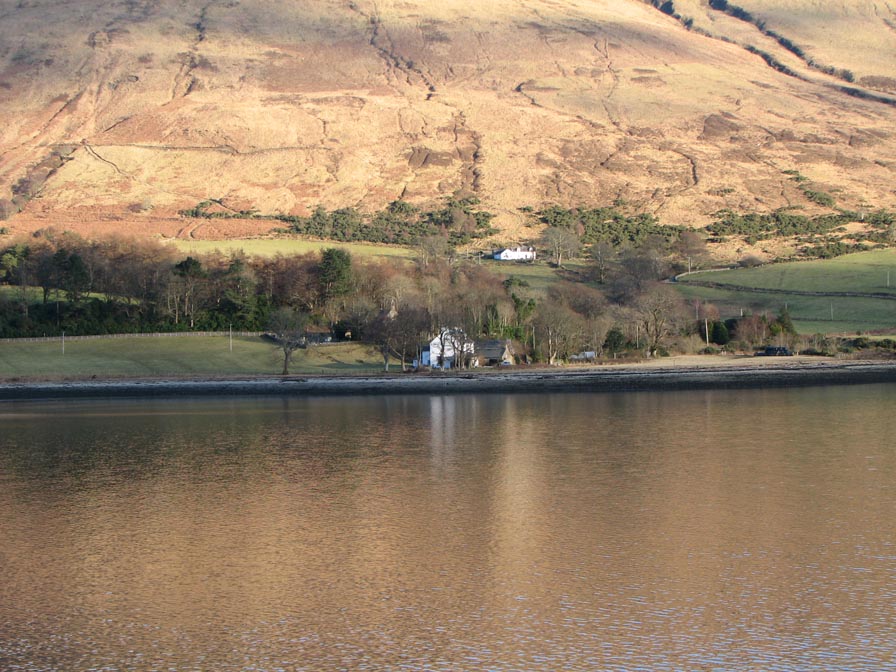
Loch Striven
Loch Striven (Scottish Gaelic: Loch Sroigheann) is a sea loch extending off the Firth of Clyde, and forms part of the Cowal peninsula coast, in Argyll...
Inverchaolain
Inverchaolain is a hamlet on the Cowal peninsula, Argyll and Bute, Scotland. It lies on the east shore of Loch Striven, to the south of Glenstriven and...

Inverchaolain Church
Inverchaolain Church is a former Church of Scotland church building in Inverchaolain, Argyll and Bute, Scotland. Located on the eastern shores of Loch...
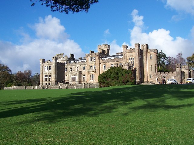
Castle Toward
Castle Toward (Scottish Gaelic: Caisteal an Toll Àird) is a nineteenth-century country house in Argyll and Bute, Scotland. Built in 1820 by Glasgow merchant...
Nearby Amenities
Located within 500m of 55.904292,-5.0436559Have you been to High Kilmarnock Wood?
Leave your review of High Kilmarnock Wood below (or comments, questions and feedback).