Beech Wood

Wood, Forest in Wigtownshire

Scotland

Beech Wood

Logan Windmill This is all that is left of the windmill that was built shortly before 1684 by Patrick McDouall to lessen his estate's dependence on the nearby watermill which in summer was liable to failure.
Logan Windmill Credit: Patrick Lee

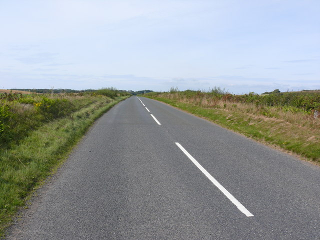
Beech Wood is a pristine forest located in the scenic region of Wigtownshire, in southwest Scotland. Spread over a vast area, this woodland is known for its abundant beech trees and serene natural beauty. The forest is situated in a low-lying area, surrounded by rolling hills and picturesque landscapes, providing a peaceful and tranquil environment for visitors.

The beech trees in Beech Wood are of significant importance, as they are a dominant species within the forest. These trees are characterized by their smooth, grey bark and vibrant green leaves, which turn into a golden hue during autumn, creating a mesmerizing sight. The forest floor is covered with a lush carpet of vibrant flora, including wildflowers, ferns, and mosses, enhancing the overall charm of the woodland.

Beech Wood offers an ideal habitat for a diverse range of wildlife. It serves as a sanctuary for various bird species, such as woodpeckers, owls, and finches, providing ample opportunities for birdwatching enthusiasts. The forest is also home to mammals like red squirrels, badgers, and roe deer, which can often be spotted amidst the dense foliage.

Visitors to Beech Wood can indulge in a variety of activities, including walking, hiking, and nature photography. The forest is crisscrossed with well-maintained trails, allowing visitors to explore the area at their own pace. The enchanting atmosphere of Beech Wood makes it an excellent destination for nature lovers, outdoor enthusiasts, and those seeking a peaceful retreat amidst the beauty of the Scottish countryside.

If you have any feedback on the listing, please let us know in the comments section below.
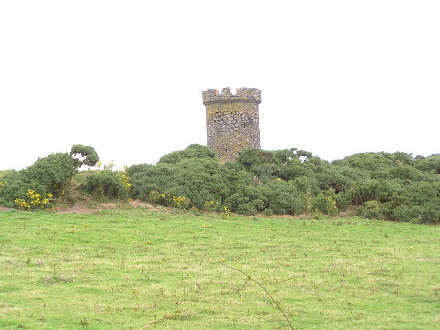
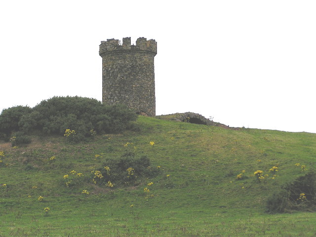
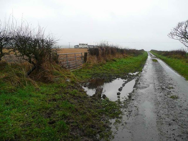
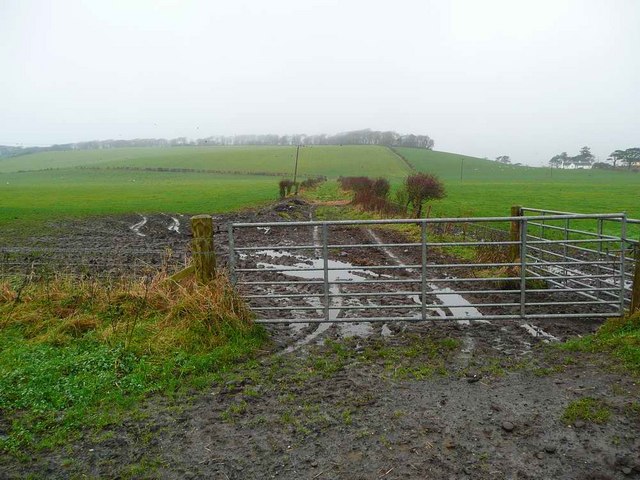
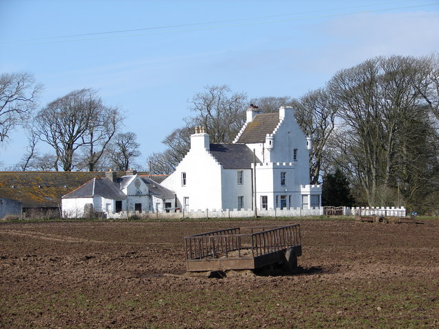
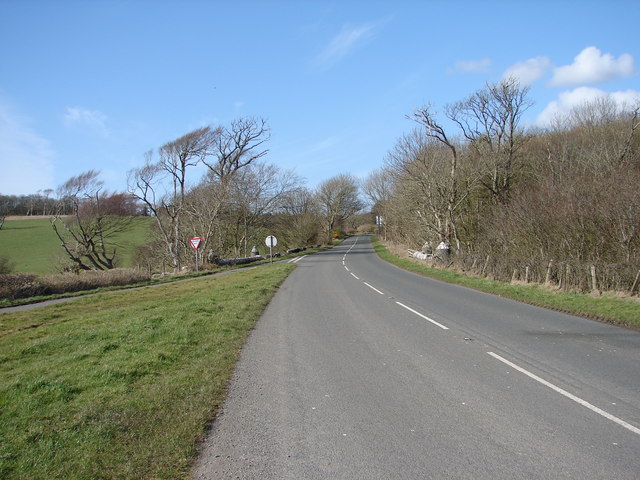
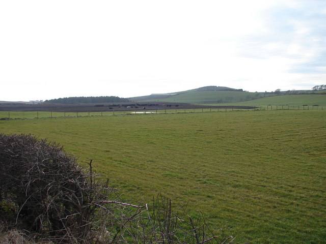
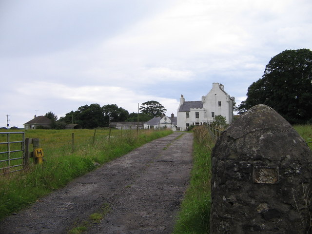
Beech Wood Images

Images are sourced within 2km of 54.74754/-4.9564516 or Grid Reference NX0943. Thanks to Geograph Open Source API. All images are credited.

Logan Windmill This is all that is left of the windmill that was built shortly before 1684 by Patrick McDouall to lessen his estate's dependence on the nearby watermill which in summer was liable to failure.
Logan Windmill
This is all that is left of the windmill that was built shortly before 1684 by Patrick McDouall to lessen his estate's dependence on the nearby watermill which in summer was liable to failure.
Logan Windmill 2 Another view of Logan Windmill showing the curious vaulted structure at its base
Logan Windmill 2
Another view of Logan Windmill showing the curious vaulted structure at its base
Logan Botanic Gardens Entrance of the B7065
Logan Botanic Gardens
Entrance of the B7065
Muddy road in the Rhinns West Myroch farm in the distance.
Muddy road in the Rhinns
West Myroch farm in the distance.
Disused track The twin hedges indicate where this mapped track went, but it's clearly not used much now.
Disused track
The twin hedges indicate where this mapped track went, but it's clearly not used much now.
Auchness Tower, Ardwell The 16 century altered 3-storey tower was formerly known as Auchness Castle; it now forms part of a modern farmhouse. <span class="nowrap"><a title="http://canmore.org.uk/site/61124/auchness-farmhouse" rel="nofollow ugc noopener" href="http://canmore.org.uk/site/61124/auchness-farmhouse">Link</a><img style="margin-left:2px;" alt="External link" title="External link - shift click to open in new window" src="https://s1.geograph.org.uk/img/external.png" width="10" height="10"/></span>
Auchness Tower, Ardwell
The 16 century altered 3-storey tower was formerly known as Auchness Castle; it now forms part of a modern farmhouse. LinkExternal link
Balkelzie Bridge, Logan Toll Junction of the A716 and B7065 at Balkelzie Bridge.
Balkelzie Bridge, Logan Toll
Junction of the A716 and B7065 at Balkelzie Bridge.
Auchabreck, South Rhins View from West Myroch northwest across the cattle crazing fields of Auchabreck.
Auchabreck, South Rhins
View from West Myroch northwest across the cattle crazing fields of Auchabreck.
Auchness farm and tower
New England Bay View along the A716 direction of Stranraer.
New England Bay
View along the A716 direction of Stranraer.
Portacree View of this beach with Balgowan Cottage, Logan Mills and the remains of Logan Windmill in the scene.
Portacree
View of this beach with Balgowan Cottage, Logan Mills and the remains of Logan Windmill in the scene.
Portacree View of the beach and properties around the edge of it.
Portacree
View of the beach and properties around the edge of it.
Balgowan Cottage
Balgowan Cottage
Balgowan Cottage This building at the end of the row of cottages looks to be a fishing hut judging by the number of lifebelts and buoys adorning it. A small boat is berthed at the side of this hut near to a hand winch. The life buoy marked Don Valley N53 as far as I can establish belonged to a fishing trawler of that name. Edit 9th August 2011 - Gordon & Natalie emailed me to say that the life buoy certainly is from The Don Valley - The skipper lost the life buoy off the boat whilst travelling from Ardglass in Northern Ireland to Peel in the Isle of Man - where the boat currently fishes.
Balgowan Cottage
This building at the end of the row of cottages looks to be a fishing hut judging by the number of lifebelts and buoys adorning it. A small boat is berthed at the side of this hut near to a hand winch. The life buoy marked Don Valley N53 as far as I can establish belonged to a fishing trawler of that name. Edit 9th August 2011 - Gordon & Natalie emailed me to say that the life buoy certainly is from The Don Valley - The skipper lost the life buoy off the boat whilst travelling from Ardglass in Northern Ireland to Peel in the Isle of Man - where the boat currently fishes.
Logan Windmill All that remains of this windmill now on the "at risk register" to be included as a protected site <span class="nowrap"><a title="http://mull-of-galloway.co.uk/index.php?option=com_content&view=article&id=89:logan-windmill&catid=17:archaeological-sites-&Itemid=30" rel="nofollow ugc noopener" href="http://mull-of-galloway.co.uk/index.php?option=com_content&view=article&id=89:logan-windmill&catid=17:archaeological-sites-&Itemid=30">Link</a><img style="margin-left:2px;" alt="External link" title="External link - shift click to open in new window" src="https://s1.geograph.org.uk/img/external.png" width="10" height="10"/></span>.
Logan Windmill
All that remains of this windmill now on the "at risk register" to be included as a protected site LinkExternal link.
Balgowan Cottage View of the back of these cottages and the track that leads to them. The fishing hut at the end of the row was clearly occupied at the time I visited. Luce Bay is on the horizon.
Balgowan Cottage
View of the back of these cottages and the track that leads to them. The fishing hut at the end of the row was clearly occupied at the time I visited. Luce Bay is on the horizon.
Balgowan Farm View of the track at the back of the farm that leads down to the coast and Balgowan Cottage.
Balgowan Farm
View of the track at the back of the farm that leads down to the coast and Balgowan Cottage.
Balgowan Farm Entrance to the farm which also provides B&B, Luce Bay is in the background.
Balgowan Farm
Entrance to the farm which also provides B&B, Luce Bay is in the background.
Show me another place!

Beech Wood is located at Grid Ref: NX0943 (Lat: 54.74754, Lng: -4.9564516)

Unitary Authority: Dumfries and Galloway

Police Authority: Dumfries and Galloway

What 3 Words

///shielding.student.buddy. Near Drummore, Dumfries & Galloway

Related Wikis

Logan Botanic Garden

Logan Botanic Garden is a botanical garden near Port Logan on the Rhins of Galloway, at the south-western tip of Scotland. The Botanic Garden was established...

Port Logan

Port Logan, formerly Port Nessock, is a small village in the parish of Kirkmaiden in the Rhins of Galloway in Wigtownshire. The Gaelic name is Port Neasaig...

Ardwell

Ardwell (from Gaelic Àrd Bhaile meaning "high town", pronounced as "Ardwell") is a village in the Scottish unitary council area of Dumfries and Galloway...

Doon Castle Broch

Doon Castle Broch is an iron-age broch located in Dumfries and Galloway, Scotland (grid reference NX 06702 44683). == Location == The Broch is located...

Nearby Amenities

Located within 500m of 54.74754,-4.9564516
Place: farm
Lat/Long: 54.7478676/-4.9636721
WhiteThorney
Natural: peak
Lat/Long: 54.7497545/-4.9585738
The data included in this document is from www.openstreetmap.org. The data is made available under ODbL.

Have you been to Beech Wood?

Leave your review of Beech Wood below (or comments, questions and feedback).