Boreland Wood

Wood, Forest in Wigtownshire

Scotland

Boreland Wood

Horse and rider near Mahaar
Horse and rider near Mahaar Credit: Oliver Dixon

Boreland Wood is a picturesque forest located in Wigtownshire, Scotland. Covering an area of approximately 300 acres, this woodland is a prominent natural attraction in the region. The forest is situated near the charming village of Garlieston, adding to its appeal for both locals and tourists alike.

Boreland Wood is known for its diverse range of flora and fauna, making it a haven for nature enthusiasts. The woodland consists predominantly of native broadleaf trees such as oak, birch, and beech, creating a beautiful tapestry of colors throughout the seasons. The forest floor is carpeted with a variety of wildflowers, adding to the overall aesthetic appeal.

The wood is home to a wide array of wildlife, including red squirrels, roe deer, and a plethora of bird species. It also provides a habitat for rare and endangered species, such as the red kite and the Scottish wildcat, making it an important conservation area.

The forest offers several well-maintained walking trails, allowing visitors to explore its natural beauty at their own pace. These paths wind through the woods, providing opportunities to immerse oneself in the tranquil surroundings and enjoy the peaceful ambiance.

Boreland Wood is a popular spot for outdoor activities such as hiking, birdwatching, and photography. The forest has a designated picnic area, where visitors can relax and enjoy a meal amidst the serene surroundings.

Overall, Boreland Wood in Wigtownshire is a must-visit destination for nature lovers, offering a captivating blend of breathtaking landscapes, diverse wildlife, and a peaceful atmosphere.

If you have any feedback on the listing, please let us know in the comments section below.

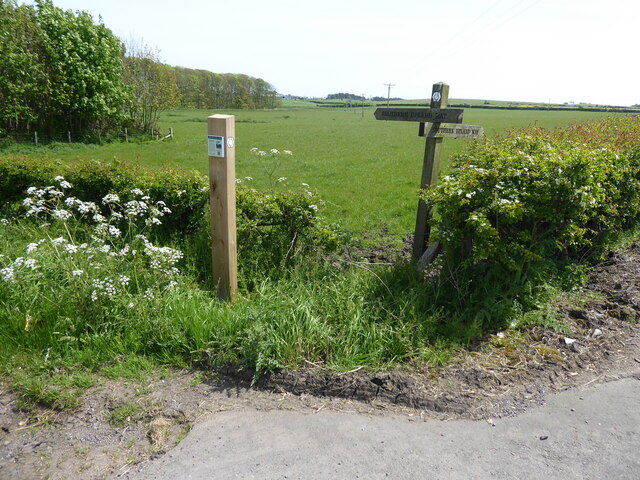
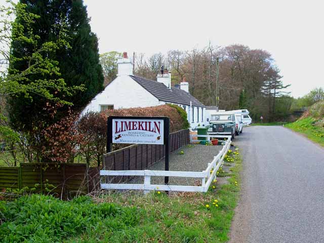
Boreland Wood Images

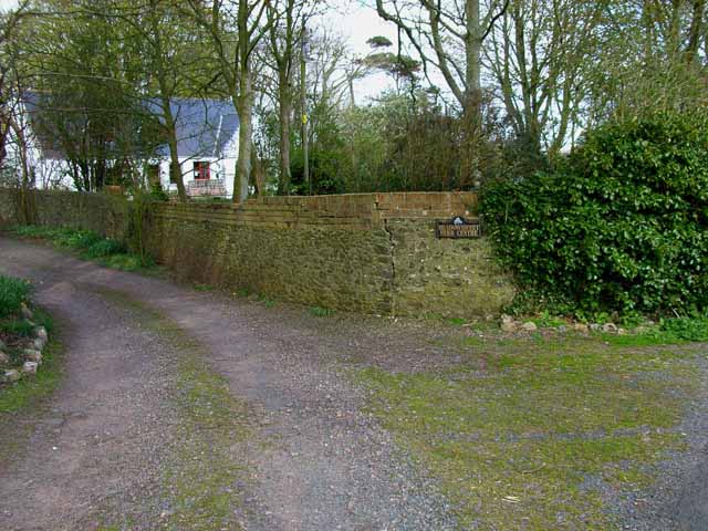
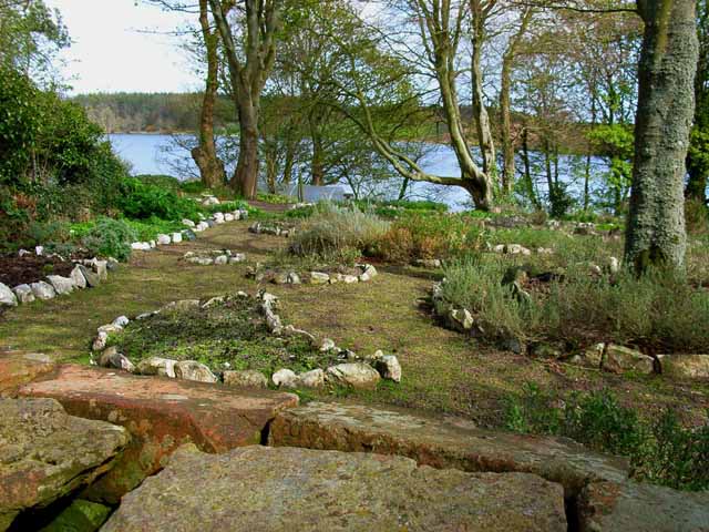
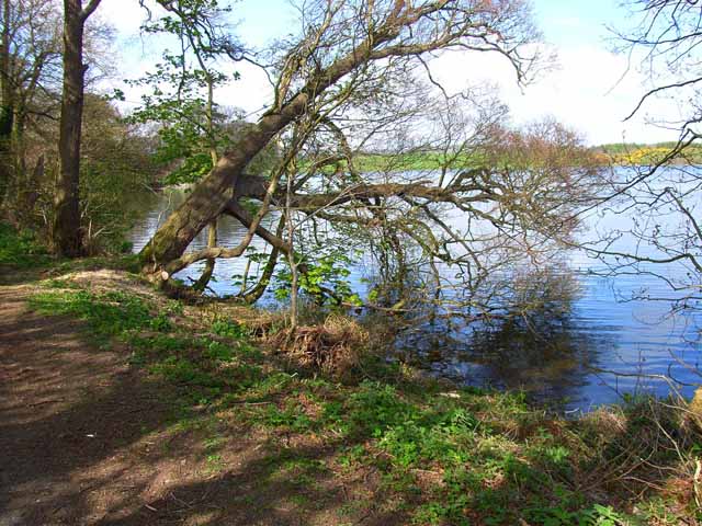
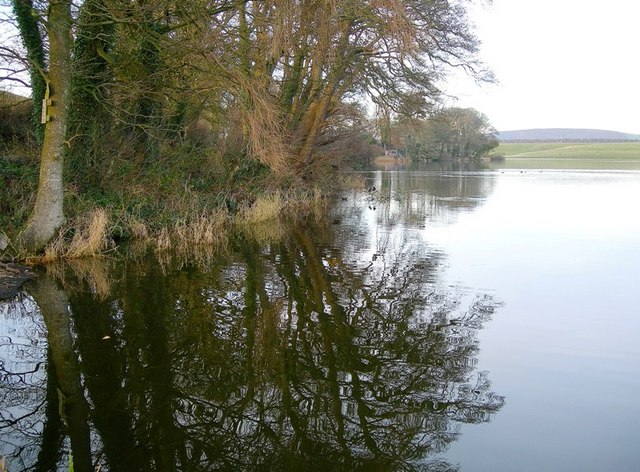
Images are sourced within 2km of 54.883546/-4.9862459 or Grid Reference NX0858. Thanks to Geograph Open Source API. All images are credited.

Horse and rider near Mahaar
Meadowsweet Herb Garden, Soulseat Loch Although still a herb garden, it is no longer open to the public. The house provides bed and breakfast accommodation close to the Southern Upland Way, and forms a useful first night's staging point out of Portpatrick.  <span class="nowrap"><a title="http://www.southernuplandway.com/accommodation/accom_detail.asp?sectionid=&accommodationid=1625" rel="nofollow ugc noopener" href="http://www.southernuplandway.com/accommodation/accom_detail.asp?sectionid=&accommodationid=1625">Link</a><img style="margin-left:2px;" alt="External link" title="External link - shift click to open in new window" src="https://s1.geograph.org.uk/img/external.png" width="10" height="10"/></span>
Meadowsweet Herb Garden, Soulseat Loch
Although still a herb garden, it is no longer open to the public. The house provides bed and breakfast accommodation close to the Southern Upland Way, and forms a useful first night's staging point out of Portpatrick. LinkExternal link
Barn at Mahaar
Barn at Mahaar
Meadowsweet Herb Garden, Soulseat Loch Still a herb garden, although no longer open to the public <a href="https://www.geograph.org.uk/photo/163482">NX1058 : Meadowsweet Herb Garden, Soulseat Loch</a>
Meadowsweet Herb Garden, Soulseat Loch
Still a herb garden, although no longer open to the public NX1058 : Meadowsweet Herb Garden, Soulseat Loch
Southern end of Soulseat Loch One of several small lochs in this part of Wigtownshire.
Southern end of Soulseat Loch
One of several small lochs in this part of Wigtownshire.
Mahaar farmhouse
Mahaar farmhouse
Winter Reflections on Soulseat Loch Viewed at the end of a bright December day.
Winter Reflections on Soulseat Loch
Viewed at the end of a bright December day.
Grey Wagtail This Grey Wagtail kept on landing on our door mirrors, trying to chase off the other bird that he could see in the reflections.  He wouldn't give up!
Grey Wagtail
This Grey Wagtail kept on landing on our door mirrors, trying to chase off the other bird that he could see in the reflections. He wouldn't give up!
The Southern Upland Way near Whiteleys
The Southern Upland Way near Black Stank
The Southern Upland Way near Culhorn Mains
The Southern Upland Way near Barrack Hill Wood
The Southern Upland Way near Guyon's Brae Wood
The Southern Upland Way near Loch Magillie
Limekiln Kennels and Cattery, near Stranraer
Modern house overlooking Loch Ryan A large modern house on the site of Aird Cottage, with a commanding view over the loch
Modern house overlooking Loch Ryan
A large modern house on the site of Aird Cottage, with a commanding view over the loch
Show me another place!

Boreland Wood is located at Grid Ref: NX0858 (Lat: 54.883546, Lng: -4.9862459)

Unitary Authority: Dumfries and Galloway

Police Authority: Dumfries and Galloway

What 3 Words

///chugging.loaders.steady. Near Stranraer, Dumfries & Galloway

Nearby Locations

Boreland Wood

Related Wikis

Soulseat Abbey

Saulseat or Soulseat Abbey was a Premonstratensian monastic community located in Wigtownshire, Galloway, in the Gaelic-speaking south-west of Scotland...

Aird, Dumfries and Galloway

Aird (Gaelic:An Àird) is a village in Dumfries and Galloway, in the southwest of Scotland. It is 2.5 miles (4.0 km) east of Stranraer and 1 mile (1.6 km...

Castle Kennedy railway station

Castle Kennedy railway station served the village of Castle Kennedy, in the historic county of Wigtownshire in the administrative area of Dumfries and...

Lochans, Dumfries and Galloway

Lochans is a small village around 2.5 miles (4.0 km) south of Stranraer, in Dumfries and Galloway in south-west Scotland. In 1971 it had a population of...

Nearby Amenities

Located within 500m of 54.883546,-4.9862459
Culhorn Mains
Place: hamlet
Lat/Long: 54.8867415/-4.9879533
Generator Method: wind_turbine
Generator Source: wind
Power: generator
Lat/Long: 54.8845333/-4.98046
Power: pole
Lat/Long: 54.8842856/-4.9792032
Power: pole
Lat/Long: 54.8846589/-4.9798684
Power: pole
Lat/Long: 54.8850115/-4.980484
Power: pole
Lat/Long: 54.883788/-4.9787217
Power: pole
Lat/Long: 54.8844252/-4.9797919
Power: pole
Lat/Long: 54.8848155/-4.9804491
Power: pole
Lat/Long: 54.8853555/-4.9813825
Power: pole
Lat/Long: 54.885354/-4.9831259
Power: pole
Lat/Long: 54.8851488/-4.9844027
Power: pole
Lat/Long: 54.8849698/-4.985666
Power: pole
Lat/Long: 54.8843696/-4.9866477
Power: pole
Lat/Long: 54.8837787/-4.9876535
Power: pole
Lat/Long: 54.8831183/-4.9887747
Power: pole
Lat/Long: 54.8824055/-4.9896839
Power: pole
Lat/Long: 54.8816896/-4.9905798
Power: pole
Lat/Long: 54.8810785/-4.9917331
Power: pole
Lat/Long: 54.8854557/-4.9795824
Power: pole
Lat/Long: 54.8855455/-4.9811307
Power: pole
Lat/Long: 54.8855968/-4.9824817
Power: pole
Lat/Long: 54.8856488/-4.9837929
Power: pole
Lat/Long: 54.8857143/-4.9854139
Power: pole
Lat/Long: 54.8857744/-4.986637
Power: pole
Lat/Long: 54.8860201/-4.9871347
Power: pole
Lat/Long: 54.8863699/-4.9878554
Power: pole
Lat/Long: 54.8868074/-4.9887194
Power: pole
Lat/Long: 54.8854795/-4.9813012
Power: pole
Lat/Long: 54.8860175/-4.9822407
Power: pole
Lat/Long: 54.8865468/-4.9831649
Power: pole
Lat/Long: 54.8870818/-4.9840991
Power: pole
Lat/Long: 54.8876286/-4.9850538
Power: pole
Lat/Long: 54.8852072/-4.9835347
Power: pole
Lat/Long: 54.8847623/-4.9833292
The data included in this document is from www.openstreetmap.org. The data is made available under ODbL.

Have you been to Boreland Wood?

Leave your review of Boreland Wood below (or comments, questions and feedback).