Birgidale Crieff Belt
Wood, Forest in Buteshire
Scotland
Birgidale Crieff Belt

Birgidale Crieff Belt is a wood or forest located in the region of Buteshire, Scotland. Covering a significant area, it is known for its diverse range of flora and fauna, as well as its scenic beauty. The forest is situated near the town of Birgidale and is easily accessible for visitors who wish to explore its natural wonders.
The wood is characterized by a mix of deciduous and coniferous trees, creating a rich and varied landscape. Visitors to Birgidale Crieff Belt can expect to see a variety of tree species, including oak, beech, pine, and spruce. These trees provide a habitat for numerous wildlife species, making it a popular destination for nature enthusiasts and birdwatchers.
The forest is home to a wide range of animal species, including red deer, roe deer, badgers, and various bird species such as owls, woodpeckers, and jays. It is not uncommon to spot these animals as you explore the woodland trails.
Birgidale Crieff Belt offers a number of walking and hiking trails, providing visitors with the opportunity to immerse themselves in nature and enjoy the peaceful surroundings. The trails are well-maintained and suitable for all levels of fitness, making it an ideal destination for families and individuals looking to spend time outdoors.
Overall, Birgidale Crieff Belt in Buteshire is a beautiful and diverse woodland area, offering a peaceful retreat for nature lovers. With its abundant wildlife, picturesque scenery, and well-maintained trails, it is a must-visit location for those seeking to connect with nature in Scotland.
If you have any feedback on the listing, please let us know in the comments section below.
Birgidale Crieff Belt Images
Images are sourced within 2km of 55.783255/-5.0743732 or Grid Reference NS0758. Thanks to Geograph Open Source API. All images are credited.


Birgidale Crieff Belt is located at Grid Ref: NS0758 (Lat: 55.783255, Lng: -5.0743732)
Unitary Authority: Argyll and Bute
Police Authority: Argyll and West Dunbartonshire
What 3 Words
///bars.beanbag.rods. Near Rothesay, Argyll & Bute
Nearby Locations
Related Wikis

Loch Fad
Loch Fad is a freshwater loch on the Isle of Bute in Scotland. Its name means "long loch" in Scottish Gaelic. It lies on the Highland Boundary Fault. Its...

Dhu Loch
Dhu Loch (also known as "Loch Dhu") is an impounding reservoir, located 1 kilometre directly west of the much larger Loch Fad and 5 kilometres south west...
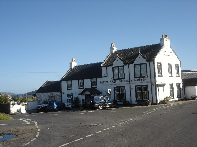
Kingarth
Kingarth (Old Irish: Cenn Garad; Scottish Gaelic: Ceann a' Gharaidh) is a historic village and parish on the Isle of Bute, off the coast of south-western...

Kilmory Castle, Bute
Kilmory Castle (Kilmorie Castle, Crowner's Castle) is the remains of a 15th-century castle at Meikle Kilmory, Isle of Bute, Scotland. The castle was the...
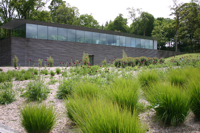
Mount Stuart visitor centre
The Mount Stuart visitor centre on the Bute estate, near Rothsay on the Island of Bute was designed by the architect Alfred Munkenbeck of Munkenbeck +...

Mount Stuart House
Mount Stuart House, on the east coast of the Isle of Bute, Scotland, is a country house built in the Gothic Revival style and the ancestral home of the...

Kirk Dam
Kirk Dam is an impounding dam, located 1.5 kilometres south of Rothesay, and is separated by a causeway from the much larger Loch Fad to the south-west...
Loch Ascog
Loch Ascog is a small reservoir on the east coast of the island of Bute, in the council area of Argyll and Bute, Scotland. The loch supplies water to the...
Have you been to Birgidale Crieff Belt?
Leave your review of Birgidale Crieff Belt below (or comments, questions and feedback).