Doire na Muice
Wood, Forest in Argyllshire
Scotland
Doire na Muice

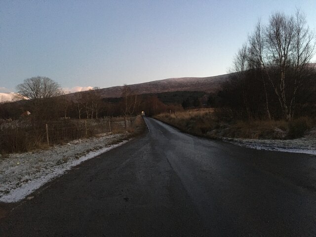
Doire na Muice, located in Argyllshire, Scotland, is a captivating woodland area rich in natural beauty and cultural significance. The name "Doire na Muice" translates to "Wood, Forest" in English, representing the area's lush and dense vegetation.
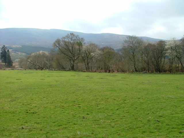
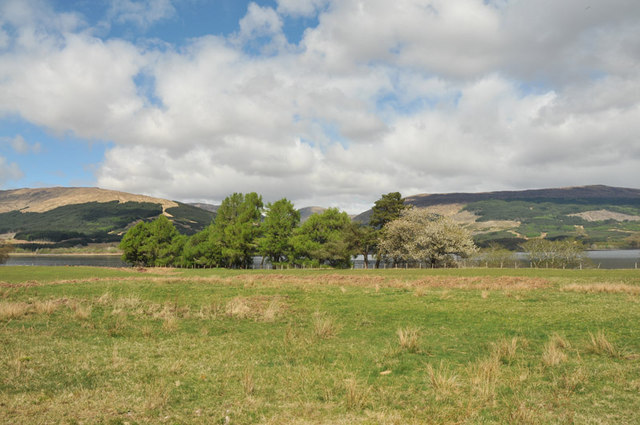
Covering a vast area, Doire na Muice is home to a diverse range of plant and animal species, making it an important habitat for wildlife. The forest is characterized by its towering Scots pines, which dominate the landscape and provide shelter for various bird species, including the rare and elusive capercaillie. Other notable flora includes oak, birch, and rowan trees, creating a vibrant and picturesque setting.
The forest holds great historical and cultural significance, with traces of human activity dating back thousands of years. Ancient ruins and burial sites within Doire na Muice offer insights into the area's past, adding to its allure. Moreover, the forest has served as a source of inspiration for artists and writers throughout the years, further solidifying its place in local folklore and literature.
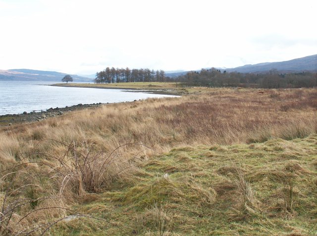
Visitors to Doire na Muice can explore a network of well-maintained trails, allowing them to immerse themselves in the tranquility and natural splendor of the forest. It offers a range of activities, including hiking, birdwatching, and nature photography. The forest's peaceful atmosphere and breathtaking vistas make it a popular destination for both locals and tourists seeking solace and connection with nature.
In summary, Doire na Muice in Argyllshire is a captivating woodland area, characterized by its lush vegetation, diverse wildlife, and cultural significance. It offers a serene escape where visitors can explore ancient ruins, admire the towering Scots pines, and immerse themselves in the natural beauty of the forest.
If you have any feedback on the listing, please let us know in the comments section below.
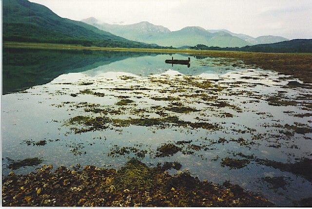
Doire na Muice Images
Images are sourced within 2km of 56.836311/-5.2502957 or Grid Reference NN0176. Thanks to Geograph Open Source API. All images are credited.


Doire na Muice is located at Grid Ref: NN0176 (Lat: 56.836311, Lng: -5.2502957)
Unitary Authority: Highland
Police Authority: Highlands and Islands
What 3 Words
///swims.rice.fall. Near Fort William, Highland
Nearby Locations
Related Wikis

Duisky
Duisky (Scottish Gaelic: Dubh-uisge – "black water", referring to the dark appearance of Loch Eil) is a small hamlet on the south shore of Loch Eil, directly...

Loch Eil
Loch Eil (Scottish Gaelic: Loch Iall) is a sea loch in Lochaber, Scotland that opens into Loch Linnhe near the town of Fort William. Ardvorlich notes that...

Fassfern
Fassfern (Scottish Gaelic: An Fasadh Feàrna) is a hamlet on the north shore of Loch Eil in the Scottish Highlands, at the bottom of Glen Suileag and almost...
Kinlocheil
Kinlochiel (Scottish Gaelic: Ceann Loch Iall) is a hamlet on the north west shore of Loch Eil in Lochaber, Scottish Highlands and is in the Scottish council...
Have you been to Doire na Muice?
Leave your review of Doire na Muice below (or comments, questions and feedback).