Black Ward Plantation
Wood, Forest in Wigtownshire
Scotland
Black Ward Plantation
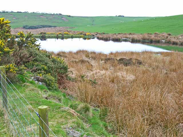
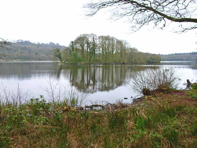
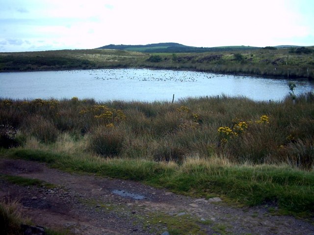
Black Ward Plantation is a picturesque woodland located in Wigtownshire, Scotland. Covering an area of approximately 100 hectares, it is known for its diverse flora and fauna, making it a popular destination for nature enthusiasts and wildlife photographers.
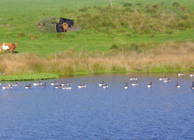
The plantation is predominantly composed of native broadleaf trees such as oak, birch, and beech, creating a rich and vibrant canopy. These trees provide a habitat for various bird species, including the great spotted woodpecker, tawny owl, and song thrush. The woodland floor is adorned with an array of wildflowers, ferns, and mosses, adding to the beauty and biodiversity of the area.
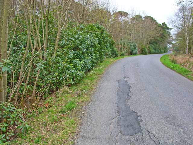
The plantation is crisscrossed by a network of well-maintained footpaths, allowing visitors to explore the woodland at their own pace. Along these trails, visitors can spot woodland creatures such as red squirrels, roe deer, and foxes. The tranquil atmosphere of Black Ward Plantation makes it an ideal spot for birdwatching, with the possibility of seeing rare birds like the pied flycatcher and wood warbler.
In addition to its natural wonders, the plantation offers recreational facilities such as picnic areas and benches, providing visitors with the opportunity to relax and immerse themselves in the peaceful surroundings. Interpretive signage throughout the site educates visitors about the local wildlife and the importance of conservation.
Black Ward Plantation is a haven for those seeking solace in nature, offering a serene escape from the hustle and bustle of everyday life. Its beauty, biodiversity, and accessibility make it a cherished gem in Wigtownshire's natural landscape.
If you have any feedback on the listing, please let us know in the comments section below.
Black Ward Plantation Images
Images are sourced within 2km of 54.916041/-5.147005 or Grid Reference NW9862. Thanks to Geograph Open Source API. All images are credited.


Black Ward Plantation is located at Grid Ref: NW9862 (Lat: 54.916041, Lng: -5.147005)
Unitary Authority: Dumfries and Galloway
Police Authority: Dumfries and Galloway
What 3 Words
///rewarding.dent.nurtures. Near Stranraer, Dumfries & Galloway
Nearby Locations
Related Wikis

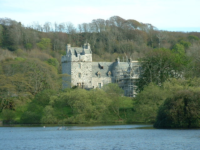
Galdenoch Castle
Galdenoch Castle is a tower house near the Scottish village of Leswalt in the Council Area Dumfries and Galloway . The ruin is listed as a Scheduled Monument...

Leswalt
Leswalt (Scottish Gaelic: Lios Uillt) is a village and civil parish in Dumfries and Galloway, south-west Scotland. It lies between Portpatrick and Stranraer...
Ervie
Ervie is a small village in Dumfries and Galloway, Scotland, in the Rhins of Galloway, just outside Stranraer.

Killantringan Lighthouse
Killantringan Lighthouse is a lighthouse located near Portpatrick in Dumfries and Galloway, south-west Scotland. The light came into operation in 1900...
MV Craigantlet
MV Craigantlet was a German-owned, Cyprus-registered container ship operated on time-charter by Cawoods Containers Ltd of Belfast. She ran aground on 26...
RAF Wig Bay
Royal Air Force Wig Bay, or more simply RAF Wig Bay, is a former Royal Air Force station near Stranraer, Dumfries and Galloway, Scotland The following...

Old Town Hall, Stranraer
The Old Town Hall is a municipal structure in George Street, Stranraer, Dumfries and Galloway, Scotland. The structure, which is used as a local history...

Kirkcolm
Kirkcolm (Scots: Kirkcoam) is a village and civil parish on the northern tip of the Rhinns of Galloway peninsula, south-west Scotland. It is in Dumfries...
Nearby Amenities
Located within 500m of 54.916041,-5.147005Have you been to Black Ward Plantation?
Leave your review of Black Ward Plantation below (or comments, questions and feedback).