Black Hill Wood
Wood, Forest in Wigtownshire
Scotland
Black Hill Wood
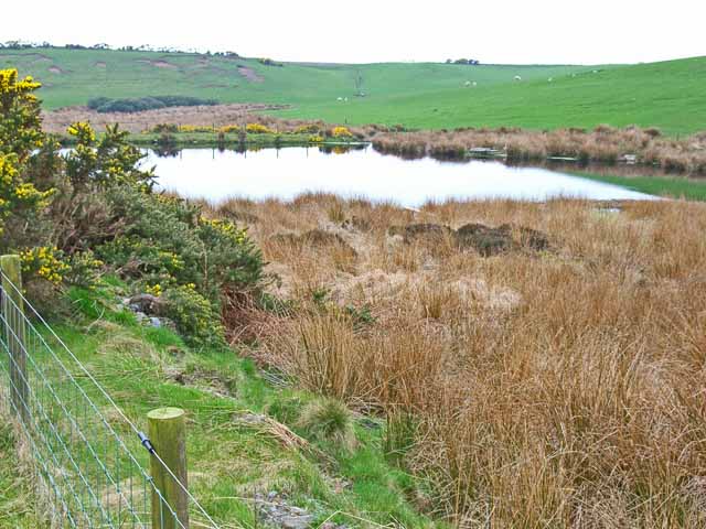
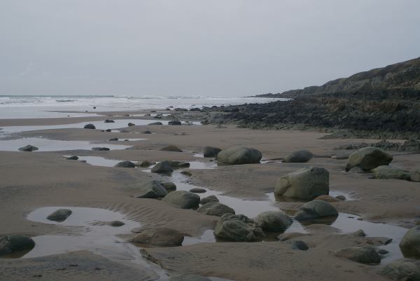
Black Hill Wood is a picturesque forest located in Wigtownshire, a region in southwestern Scotland. Spanning an area of approximately 50 hectares, this woodland is known for its diverse range of flora and fauna, attracting nature enthusiasts and hikers alike.
The wood boasts a mix of broadleaf and coniferous trees, including oak, beech, and pine, which create a lush and vibrant environment. The dense canopy of foliage provides a cool and shaded atmosphere, making it an ideal retreat during the summer months. Walking through the woodland, visitors can enjoy the tranquil ambiance and the sounds of birds chirping and leaves rustling underfoot.
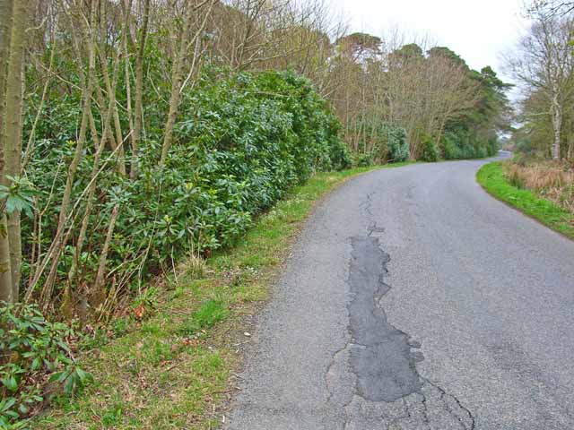
The forest also features a network of well-maintained trails, allowing visitors to explore its various sections. These paths cater to different abilities, from gentle strolls to more challenging hikes, accommodating a wide range of outdoor enthusiasts. Along the trails, informative signage educates visitors about the local flora and fauna, enhancing the educational experience.
Wildlife is abundant in Black Hill Wood, with sightings of red squirrels, roe deer, and a variety of bird species being common. Nature lovers can indulge in birdwatching, as the forest is home to a number of songbirds, woodpeckers, and raptors.
Overall, Black Hill Wood offers visitors a peaceful and immersive experience in the heart of nature. Its scenic beauty, well-maintained trails, and diverse ecosystem make it a must-visit destination for anyone seeking solace and serenity amidst Scotland's natural splendor.
If you have any feedback on the listing, please let us know in the comments section below.
Black Hill Wood Images
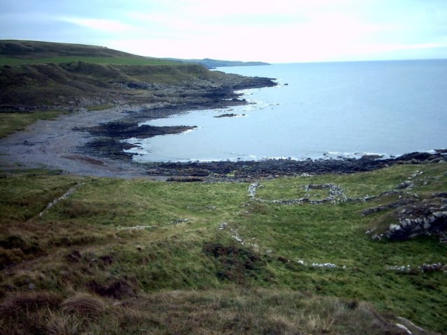
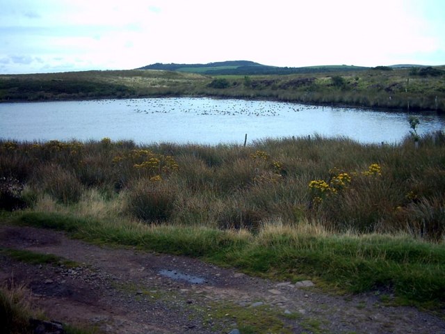
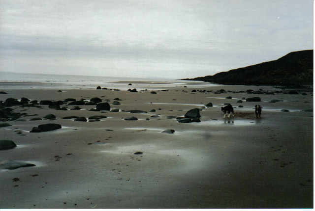
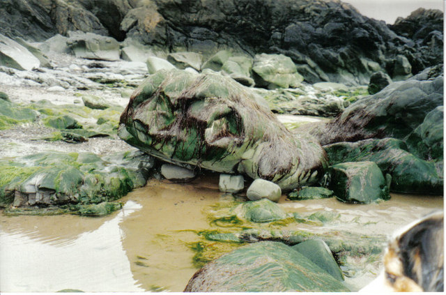
Images are sourced within 2km of 54.911135/-5.1514127 or Grid Reference NW9861. Thanks to Geograph Open Source API. All images are credited.


Black Hill Wood is located at Grid Ref: NW9861 (Lat: 54.911135, Lng: -5.1514127)
Unitary Authority: Dumfries and Galloway
Police Authority: Dumfries and Galloway
What 3 Words
///amending.exhale.pods. Near Stranraer, Dumfries & Galloway
Related Wikis

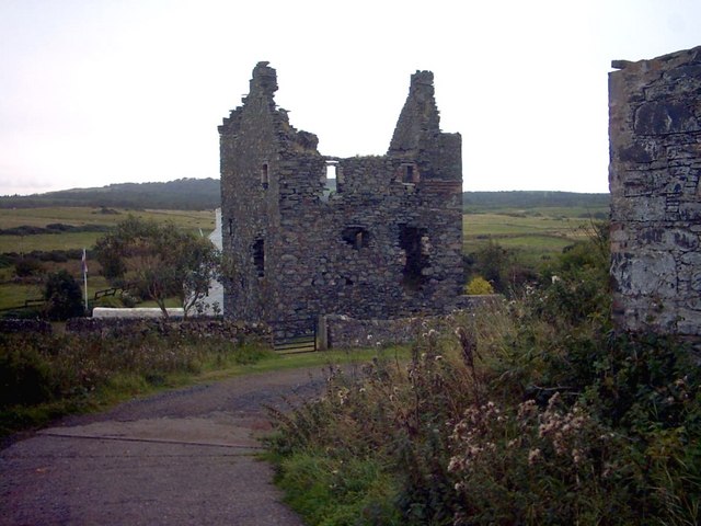
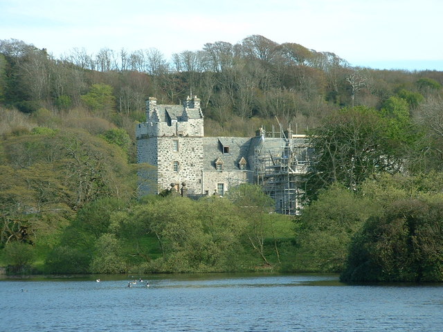
Galdenoch Castle
Galdenoch Castle is a tower house near the Scottish village of Leswalt in the Council Area Dumfries and Galloway . The ruin is listed as a Scheduled Monument...

Leswalt
Leswalt (Scottish Gaelic: Lios Uillt) is a village and civil parish in Dumfries and Galloway, south-west Scotland. It lies between Portpatrick and Stranraer...

Killantringan Lighthouse
Killantringan Lighthouse is a lighthouse located near Portpatrick in Dumfries and Galloway, south-west Scotland. The light came into operation in 1900...
MV Craigantlet
MV Craigantlet was a German-owned, Cyprus-registered container ship operated on time-charter by Cawoods Containers Ltd of Belfast. She ran aground on 26...
Nearby Amenities
Located within 500m of 54.911135,-5.1514127Have you been to Black Hill Wood?
Leave your review of Black Hill Wood below (or comments, questions and feedback).